Inspiration
Janaagraha was founded in 2001 and is a non-profit organisation that aims to transform the quality of life in Indian cities and towns. We work with citizens to catalyse active citizenship in neighbourhoods, and we work with governments to institute reforms to city-systems. Quality of life = quality of citizenship and quality of infrastructure and services.
Over the last 18 years, Janaagraha has been working extensively with Schools, Colleges, communities, municipal bodies, civil society groups and corporates, using the power of technology (I Change My City) to bring about two way communication between children, citizens and city governments. We are now leveraging our networks and relationships, providing our technology tools to strengthen the hands of city governments in speeding up the process of real time information dissemination, response management towards effective containment.
Requirements
Existing app: https://play.google.com/store/apps/details?id=com.ichangemycityjanaagraha.core&hl=en_US&gl=US
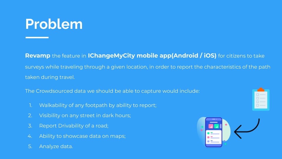
Revamp IChangeMyCity android mobile app for citizens to take surveys while traveling through a given location, in order to report the characteristics of the path taken during travel.
Scope:
- We need a simple way to capture survey by any user.
- User can view existing surveys in his location, filter surveys and report a new survey from any geo location.
- We should be able to collect all the data points needed to actually prioritise and fix the issue.
- Measure distance or luminosity using mobile device.
- Capture photos and videos of the survey.
Below are the data points needed to capture for a survey:
Walkability of any footpath by ability to report a. Report broken footpath with location b. Report encroachment with location c. Any other obstacles with location We also need to measure the start location and end location of the walkability issue reported.
Visibility on any street in dark hours. a. Measure the visibility/light intensity on a street at a given point in time b. Any obstacles blocking the light.
Report Drivability of a road a. Report and Geolocate the potholes b. Report and Geolocate Speed breakers c. Report and Geolocate any other obstacles
With the crowdsourced data, achieve the following:
- Ability to showcase survey data on maps
- Backend will be able to prioritise survey
How we built it
UI Mocks: Built using Zeplin https://app.zeplin.io/project/5fb88fd2d33c575f588a35d0/dashboard?sid=5fb88ff5d2f44969f4cb96fe
Frontend: Android SDK built using Android Studio, Google maps. https://github.com/2020-opportunity-hack/Team-11/tree/develop
Backend: Built with spring boot, H2 database. https://github.com/2020-opportunity-hack/Team-11/tree/master/janaagraha
What is accomplished?
- We were able to understand the requirements, come up with the UI mocks, and built app and backend necessary to satisfy the requirements of ichangemycity.
- We were able to integrate with google maps sdk and build the flow to capture data points for all the different survey usecases.
Hack team:
- Product: Vidya Ramprasad, Priscilla Andrew
- UI: Karthik M R, Gabriella
- Android: Geetha Kodandaraman, Prathika Gonchigar
- Backend: Suganya Hari, Karunamoorthi S
Next Steps:
- We need to provide a way to upload a photo or video of the survey.
- We need to enhance the product built to capture data points for other usecases
Judging criteria:
Common Export/Import Format How easy is it to export/import the data within your system as a CSV? Common data format (CSV) so that it can be easily exported and imported Why CSV? Single most popular database in the world, ensures portability between other systems
- We are using HBase as our database. Apache HBase is an open-source, distributed, NoSQL database. From app, the data set we are going to collect from surveys will be huge with increasing surveys. We also need to perform some heavy analytical jobs on the collected data. Our backend team is also familiar with this database, so we chose HBase.
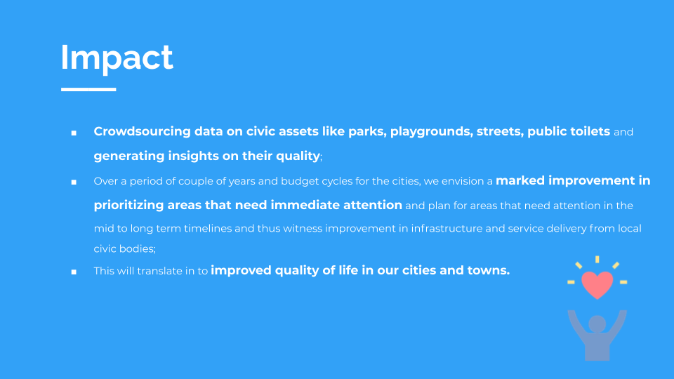
Scope of Solution How big an impact will your solution have on the community?
- Scale of the problem? 2. Productivity gain? 3. Complexity of problem 4. Has it been done before? 5. Alternative solution? 6. Does it solve the problem?
- This app is open to all geographical locations in the world. We are not limiting the app to capture surveys to a particular location. Current app is live only in Bangalore. With new app, plan is to expand to many cities and towns. User can view existing surveys in his location, filter surveys and report a new survey. We have included to capture data points that will help the survey. NPO has built mobile app long time back and with new revamp app they want to enhance few app features as capturing distance, measuring luminosity from mobile device. We are also planning to include photos and videos for the survey, this should also help them to build ML models in prioritising the survey to get the issue fixed.
Documentation
- App is built in a simple way so that any user can easily access and report a survey. Comments are written in the code where necessary so that the NPO can enhance the product later if needed.
Polish
- How much work is left? 2. Is this a prototype or a working solution? 3. Can NPOs utilize the solution tomorrow? 4. Auto-deploy capability (e.g. one-click deploy from Heroku) 5. Can this solution be used by more than 1 NPO?
- We have built a working solution which covers majority of usecases listed in the scope. Yes NPOs can start utilising solution tomorrow. We have to build 2 more use cases: capture photos or videos of the survey, measure distance or luminosity using mobile device. This two requirements additional time, and we are planning to complete this before February.
Security Did you consider security? We are looking for any role-based access controls, OAuth, and proof that usernames/passwords or any personally identifiable information is securely stored
- NPO is planning to integrate our SDK within their existing app so that they can keep the user login features. There are some other flows in the app which they are not planning to revamp. Once we handover the SDK, NPO will work on the integration to merge with their existing app.
Built With
- android-studio
- google-maps
- h2
- java
- springboot


Log in or sign up for Devpost to join the conversation.