-

ArcLens
-
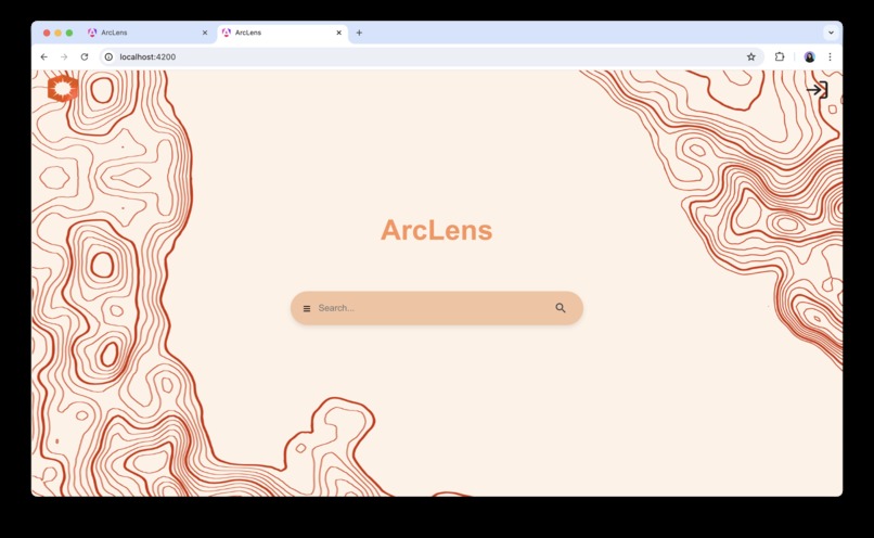
ArcLens Homepage
-
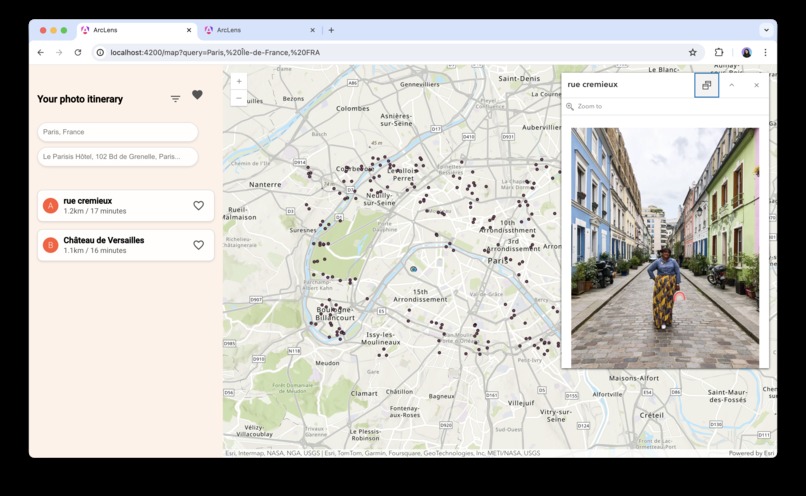
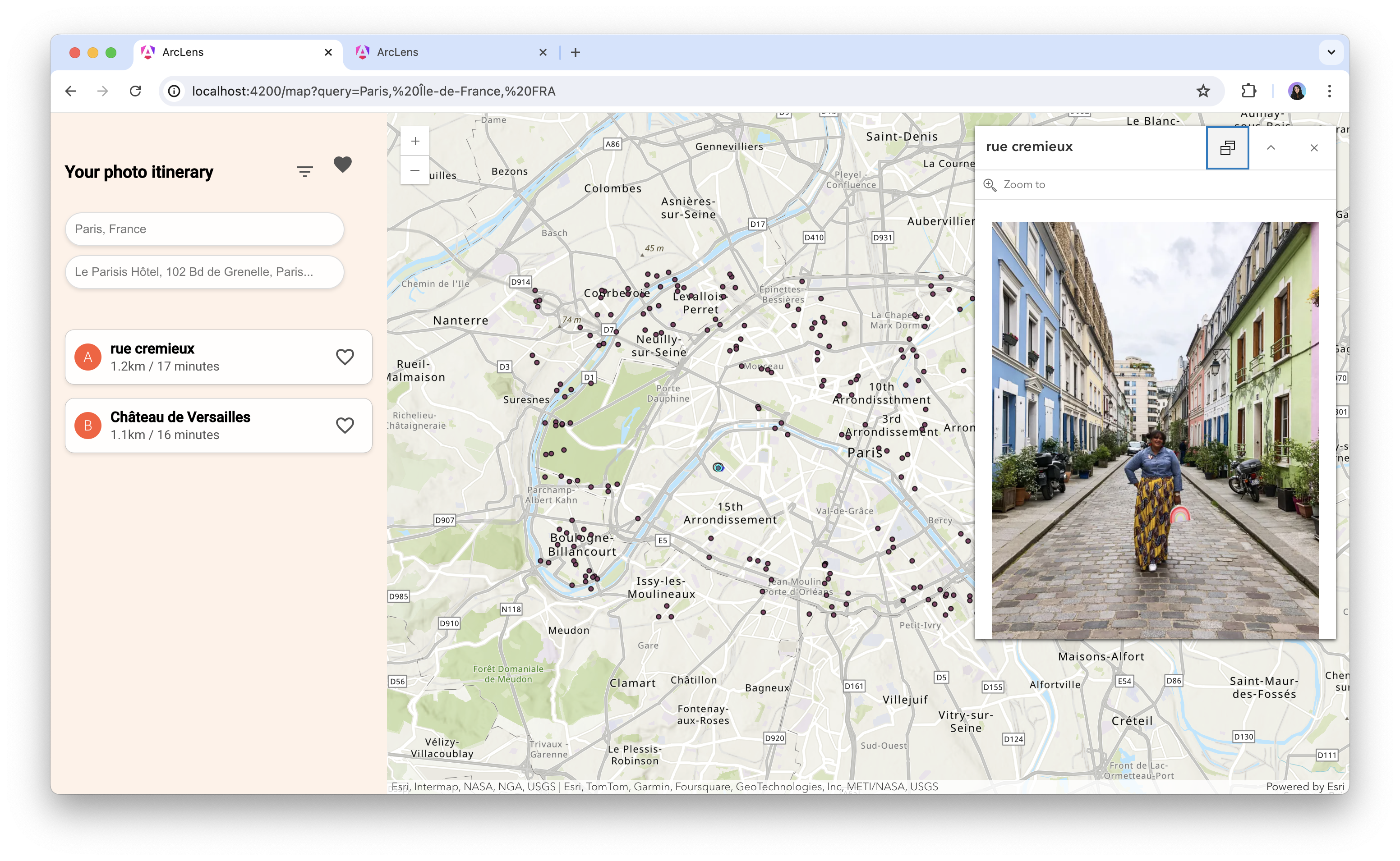
Pop-Up about location
-
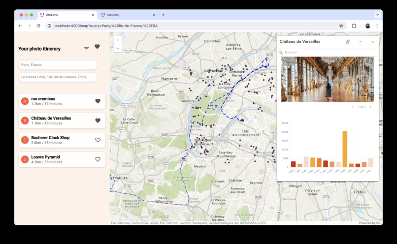
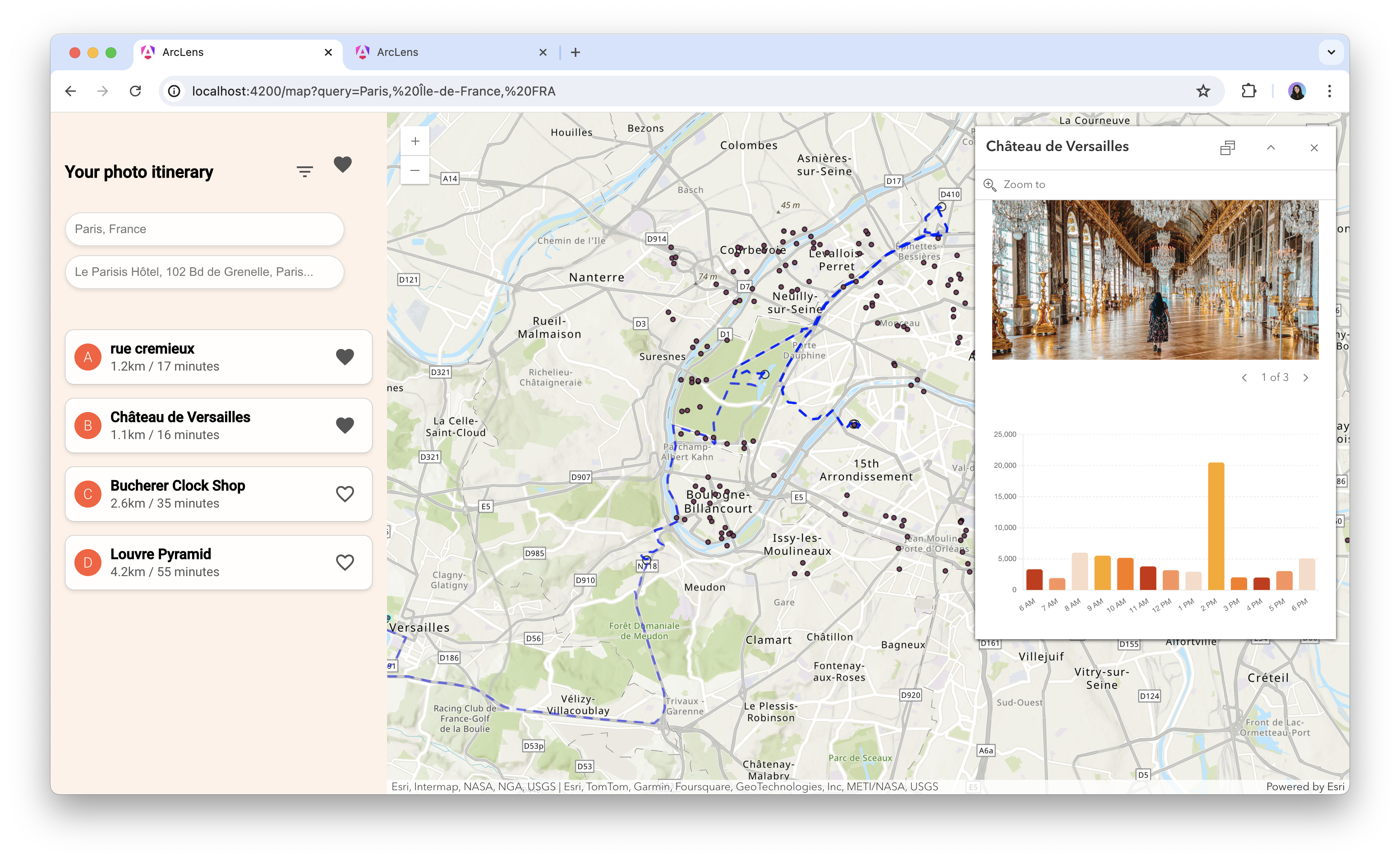
Pop-Up with routing | Graph showing user data

Inspiration
Have you ever taken hours, or even days creating travel plans to your dream honeymoon or vacation? Well to minimize hours or planning, our app inspires tourists to see points of interest to where they are traveling!
What it does
ArcLens significantly aids travelers in planning and optimizing their trips by consolidating all necessary information into a single, easy-to-use platform. By entering a destination, travelers can view a map highlighting picturesque locations and hidden gems. This feature saves time and effort by eliminating the need to search multiple sources for unique photo spots. ArcLens then calculates an optimal route to visit these spots efficiently, factoring in walking distances, and provides recommendations on the best times to visit for ideal lighting conditions. Additionally, it offers popular pose examples, helping users capture high-quality, memorable shots to share with friends and family, thus enhancing their social media presence. By addressing information overload, logistical challenges, and posing uncertainties, ArcLens ensures a stress-free and enjoyable travel experience.
How we built it
Using Angular, we integrated ArcGIS Pro and ArcGIS Online into our app. We utilized their map view, web map, routing, and pop-up functionalities. By implementing various datasets, we streamlined the navigation of multiple points of interest.
Challenges we ran into
During the development of ArcLens, we faced several significant challenges. One major hurdle was our limited knowledge of multiple programming languages and software, which made to finalize the end product. Additionally, we were down one team member, which put extra strain on our resources and stretched our remaining team members thin. Despite these obstacles, we worked diligently to overcome these challenges and deliver a valuable tool for travelers.
Accomplishments that we're proud of
Despite the challenges we faced, our team was dedicated to sharing our diverse experiences with different technologies and skillsets. We encountered technical issues integrating ArcGIS Pro and ArcGIS Online into our Angular framework, which required significant troubleshooting and collaboration. Through this process, we successfully implemented our first working feature, demonstrating that we can achieve our goals within the given timeframe and resources.
What we learned
We gained a comprehensive understanding of the ArcGIS JavaScript API and the Angular framework. Our learning journey included routing, CSS, the 3D Engine, the Calcite Design System, and the Popup Element.
What's next for Jack's Minions
We aim to maintain and enhance the app, making it even easier for users to plan their trips and discover the best hot-spots for photos and selfies. We are committed to adding new features that will further simplify the travel planning process and improve the overall user experience.


Log in or sign up for Devpost to join the conversation.