-
-

iSard: Track your run, see your progress
-
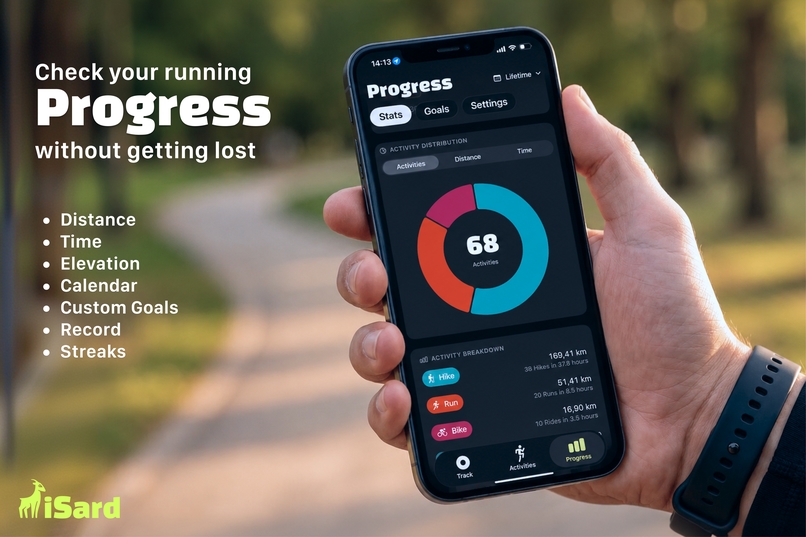
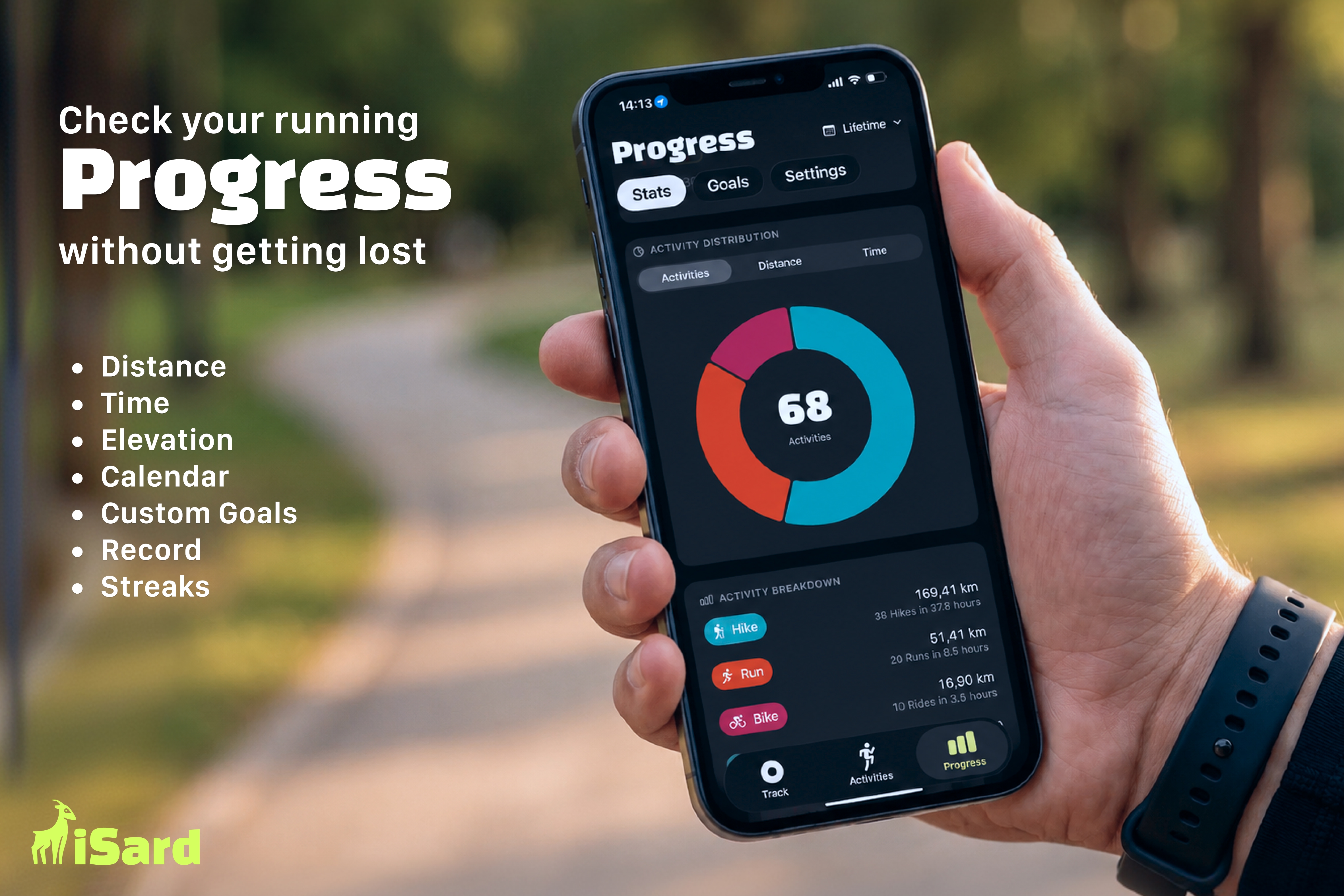
Check your running progress
-
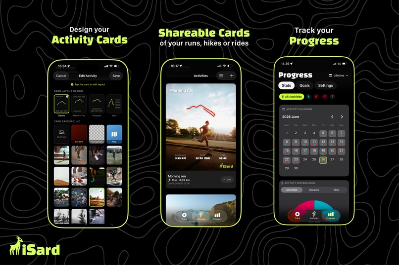
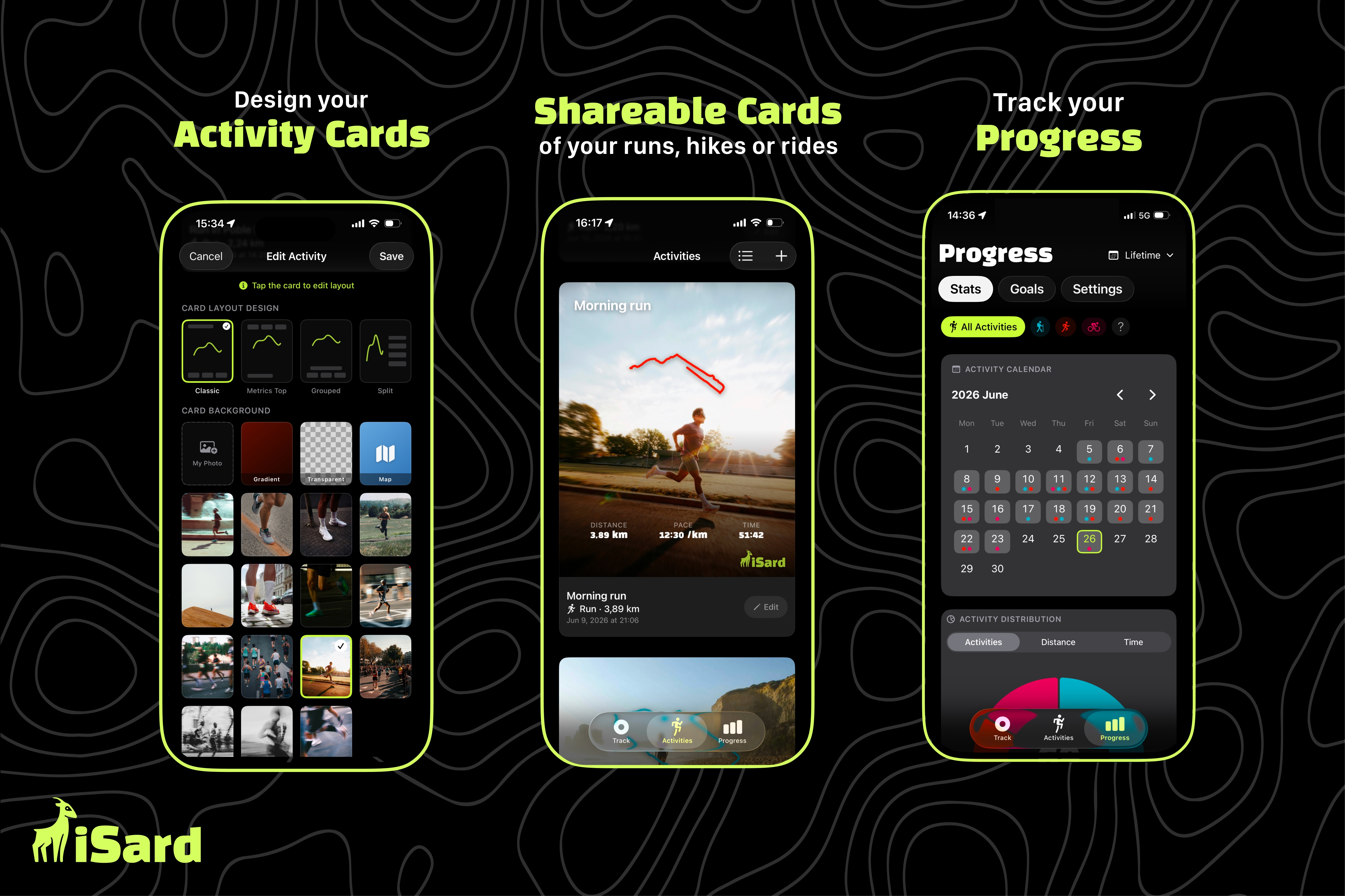
Activity and Sharable Cards
-
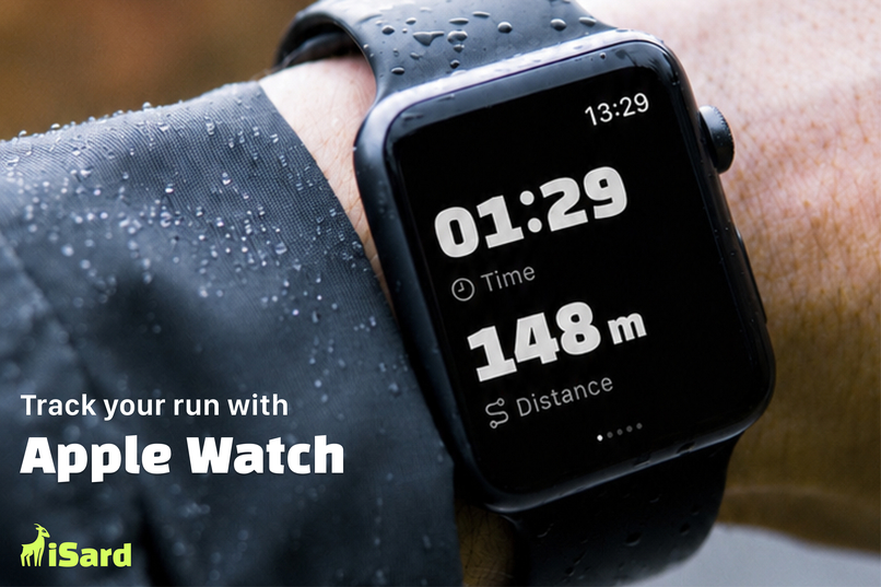
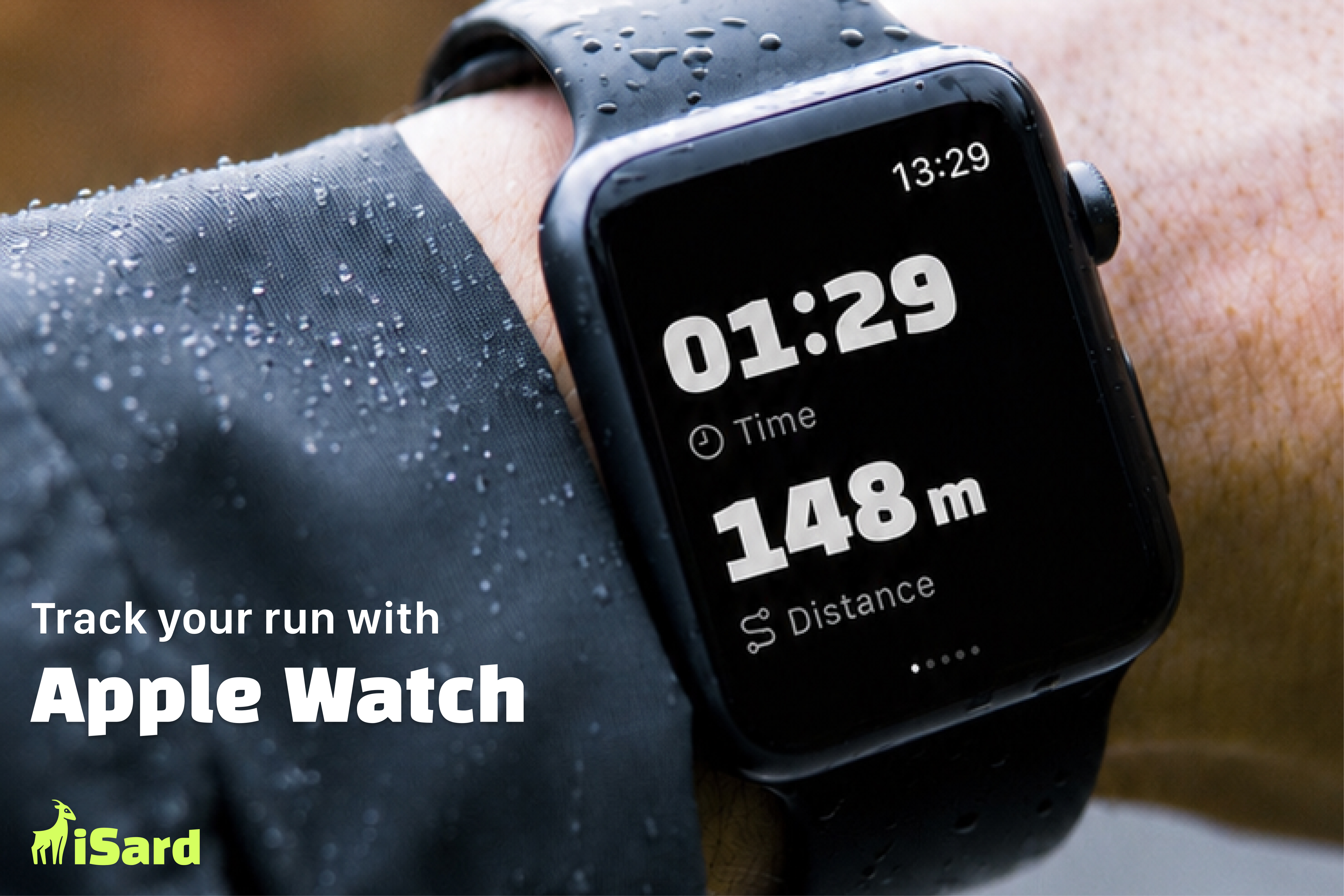
Track your activity with Apple Watch
-
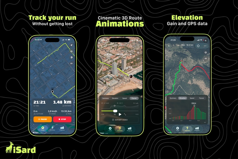
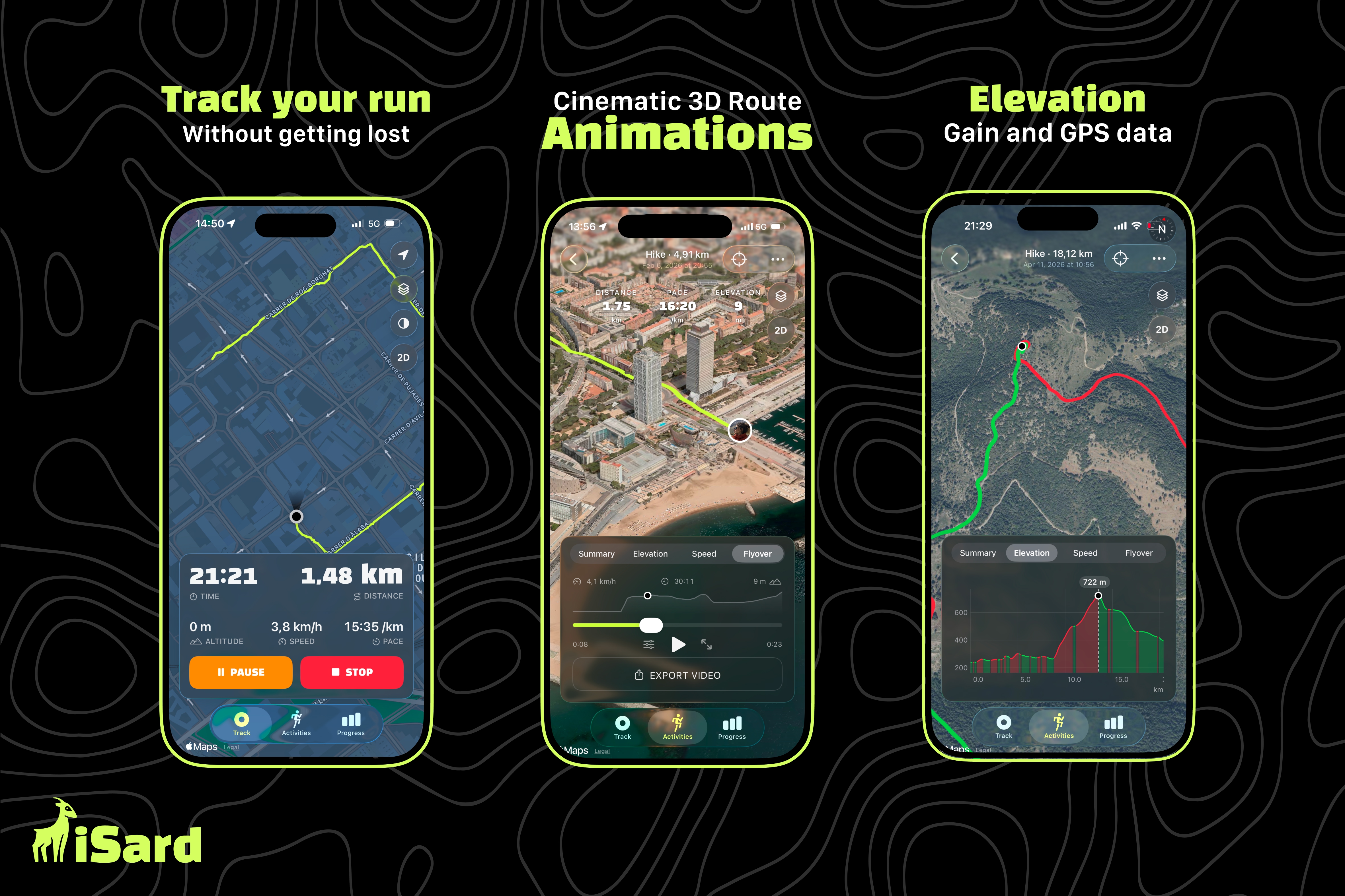
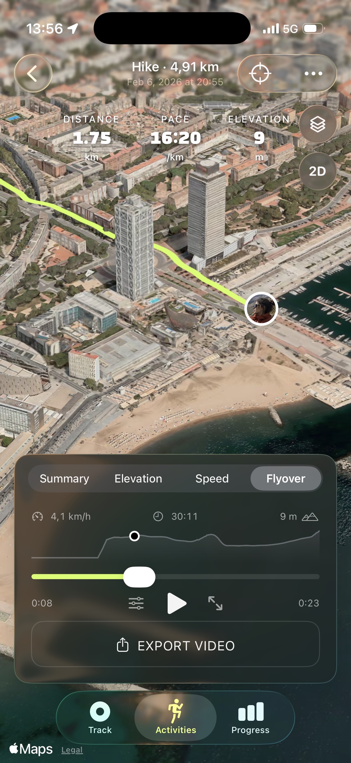
Flyover animations and Elevation charts
-
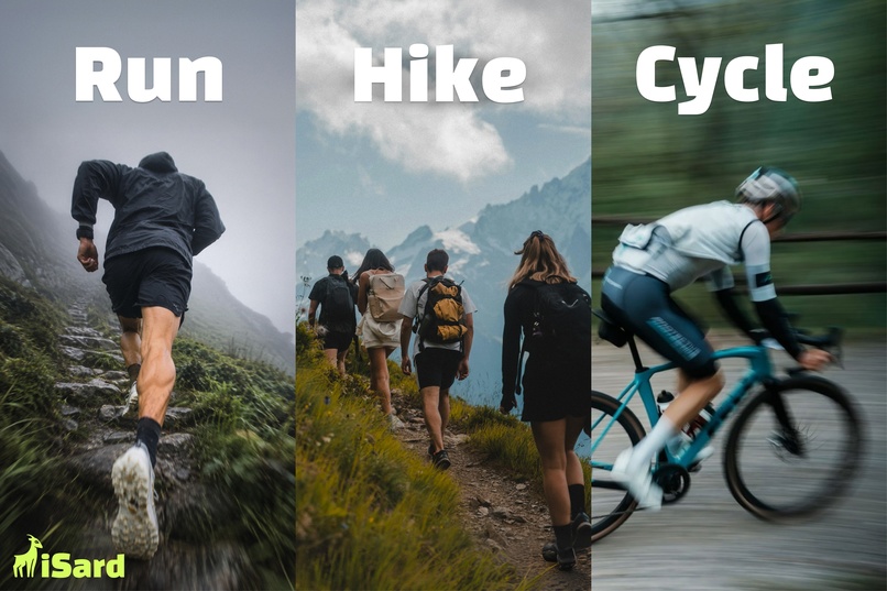
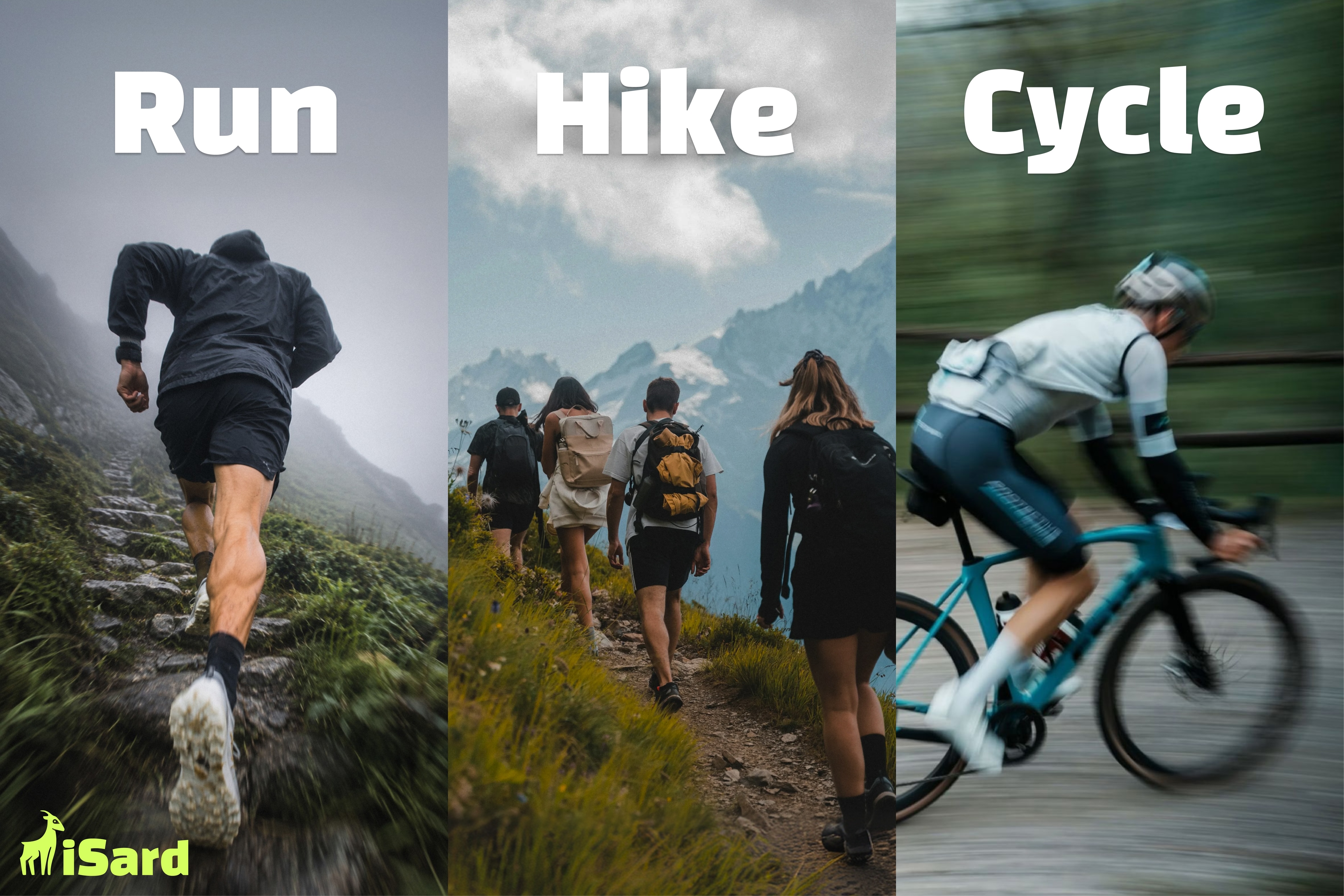
Run, hike, cycle
-
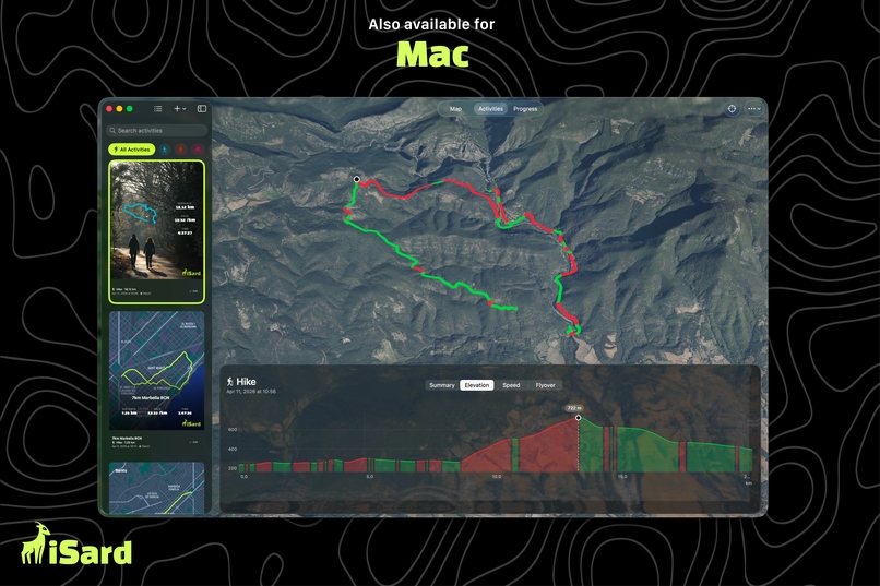
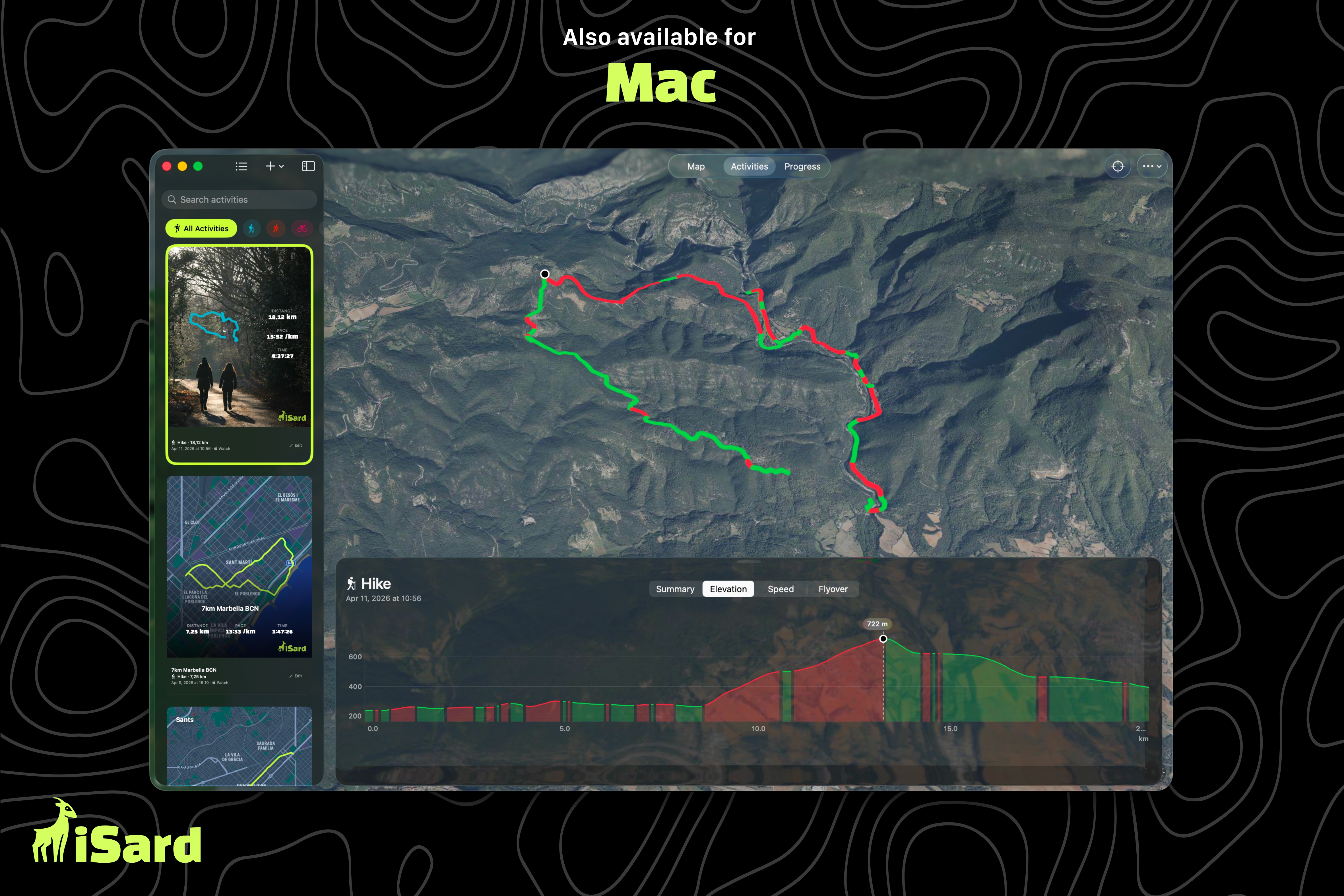
Also available for Mac
-
Spend more outdoor time
-

iSard 1024 x 1024 icon
-
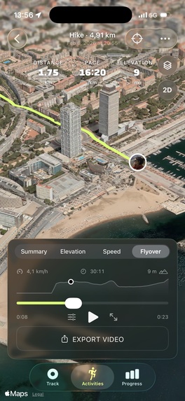
screenshot without device frames


Inspiration
As a runner and indie developer, I realized that most fitness apps focus on numbers: pace, distance, and heart rate, but very few help you relive the experience itself.
The goal was simple: make outdoor activities feel memorable using beautiful design instead of becoming just another line in a workout history.
What it does
iSard is a GPS activity tracker for running, hiking, and cycling. It helps users build a habit of exercising outdoors by setting personalized goals and visualizing their progress.
It records your activities, displays detailed statistics, and turns every route into a cinematic 3D Flyover video. Users can switch between multiple map styles, download offline maps for remote areas, and review their adventures from a completely different perspective with nice sharable cards.
Users can also export all their activity data and share it with AI to get feedback, analyze performance, or create personalized training plans and goals.
How I built it
iSard is built entirely with SwiftUI using Apple's latest frameworks for iOS, iPadOS, MacOS and WatchOS and the help of Claude Code and Codex AI agents.
The app uses:
- SwiftData for local persistence
- CloudKit for synchronization across devices
- MapKit and MapTiler for mapping and 3D Flyover
- Core Location for GPS tracking
- HealthKit integration
- RevenueCat for subscriptions
- Noise for UGC marketing
Challenges I ran into
One of the biggest challenges was designing an interface that remained simple and intuitive despite the complexity of GPS tracking. I put a lot of effort into creating a polished and consistent experience across the app, using subtle animations and thoughtful interactions to make the product feel more engaging and enjoyable to use. Another key goal was to make activity sharing effortless. I designed beautiful, easy-to-use tools for creating personalized activity cards and 3D flyover animations that users would actually want to share on social media.
Accomplishments that I'm proud of
The 3D Flyover animation is one of the features I’m most proud of because it transforms raw GPS data into an immersive visual story. Instead of simply viewing a route on a map, users can relive their journey from a dynamic aerial perspective and share it with others. Bringing together mapping, animation, performance, and thoughtful design was a significant challenge, and the result makes every activity feel more memorable.
What I learned
Building iSard taught me how powerful agentic coding can be. AI agents accelerated development, letting me focus more on product design and user experience than on repetitive coding tasks.
What's next for iSard
My goal is to continue making iSard the best companion for outdoor activities on Apple platforms and explore growing in other platforms like Android and Web. Also, I have already started working on integrating iSard with ChatGPT and Claude, allowing users to share their activity data and use these AI tools as personal coaches.
Built With
- cloudkit
- core-location
- healthkit
- mapkit
- revenuecat
- storekit
- swift
- swiftdata
- swiftui


Log in or sign up for Devpost to join the conversation.