-
-
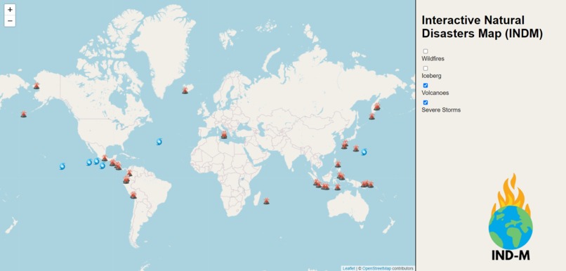
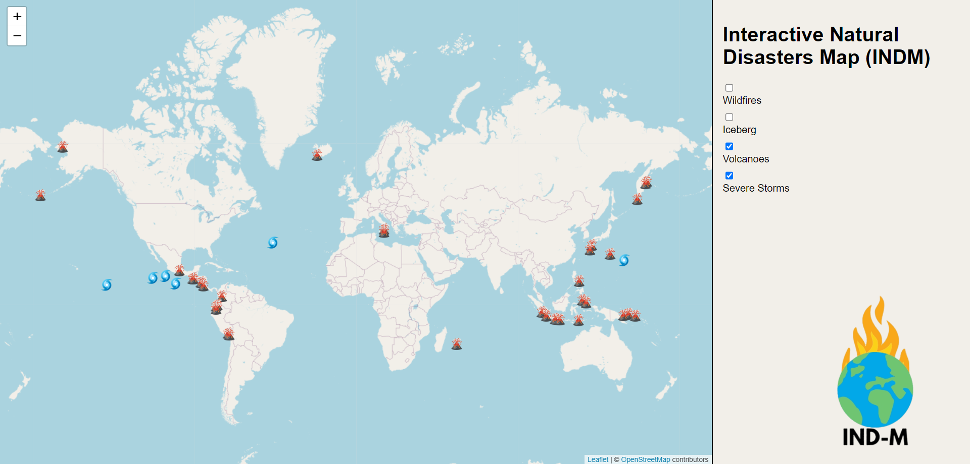
An image of the program in action, filtering for volcanoes and severe storms.
Inspiration
Because many people lost their homes to natural disasters, we wanted to create an early warning system that will ensure the safety of the public.
What it does
This program is an interactive map that functions as an early warning system for users by displaying natural disasters and tracking their movements.
How we built it
We used API from NASA and used the information to place the data on a map made by OpenStreetMap. It took a lot of trial and error, but we managed to pull it off in the end.
Challenges we ran into
We struggled heavily trying to find a working API to use for this project, as many of the available ones either were locked behind a business email, locked behind a paywall or didn't have the information needed for it.
Accomplishments that we're proud of
We are proud of the fact that we successfully located and integrated NASA's API, which contains data from satellites in real-time, into our code. We are also proud of how we displayed natural disasters with coordinates from NASA on a completely different map.
What we learned
We learned how to extract large quantities of data from an API and condense it into a functioning program.
What's next for Interactive Natural Disasters Map (IND-M)
IND-M will be improved with features such as disaster notifications, an information panel, expert advisors, and so much more.


Log in or sign up for Devpost to join the conversation.