-
-
Banner
-
Dashboard
-
Annotation
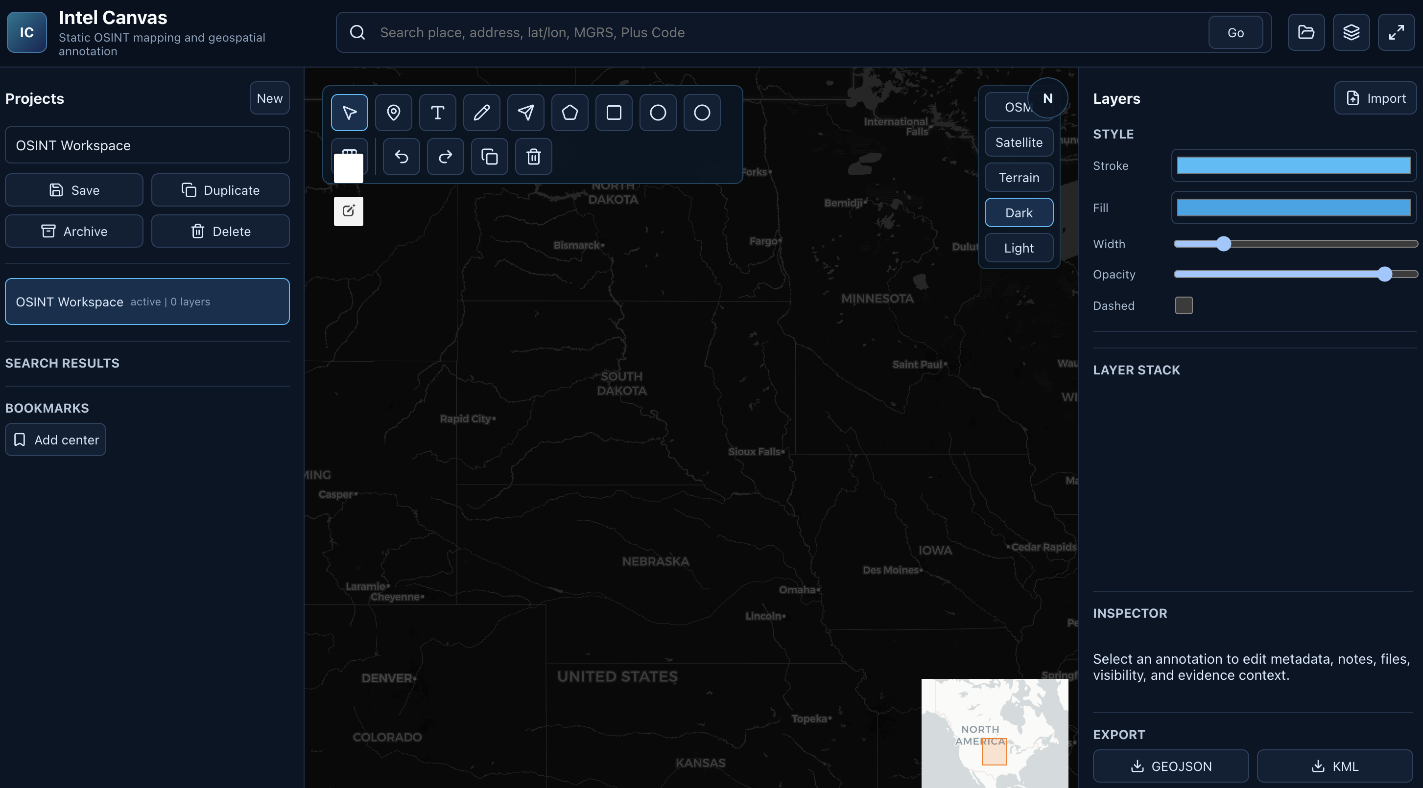
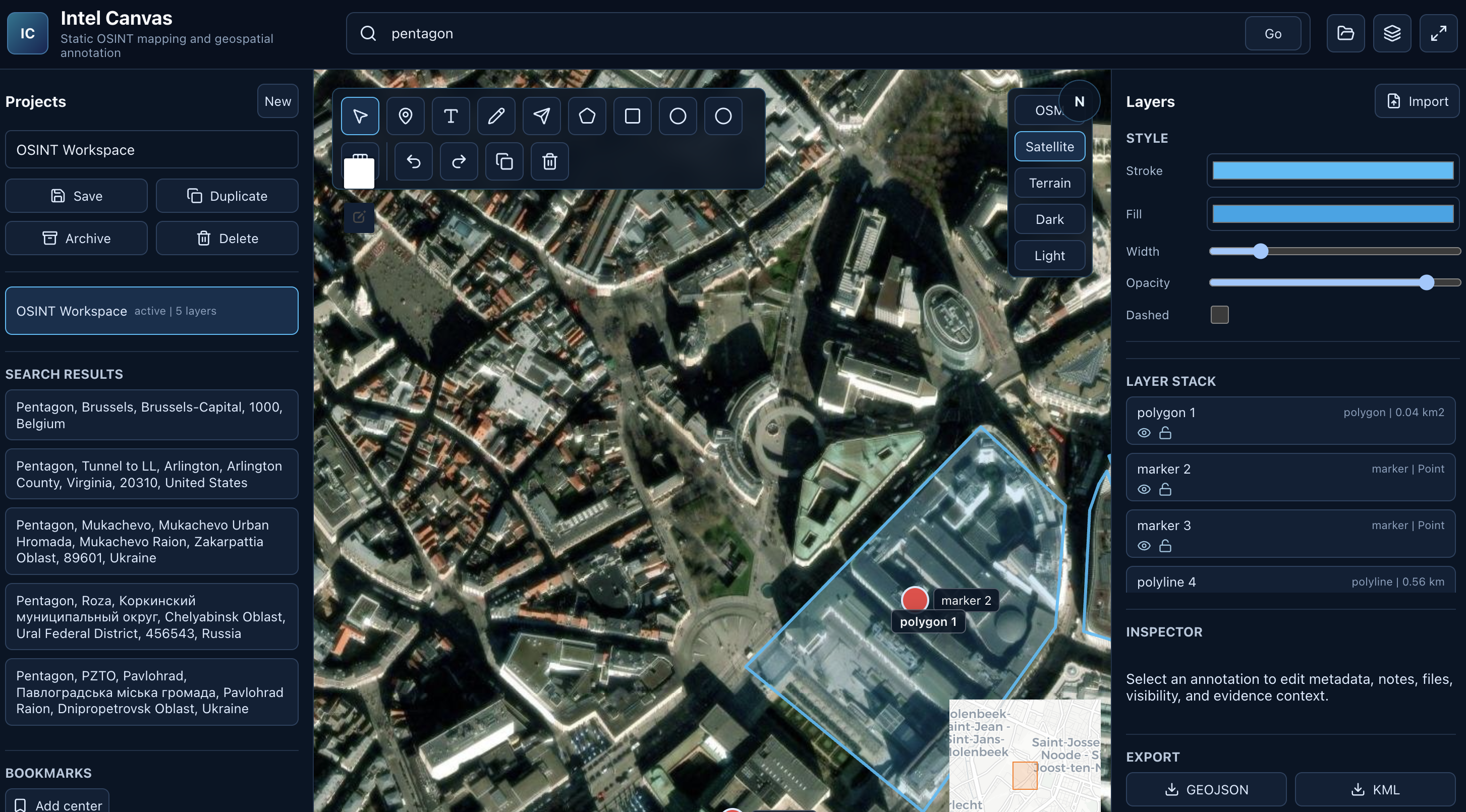
Intel Canvas: Map Everything, Every Point Tells a Story.
We’ve all felt the frustration.
You’re deep into an investigation, research, or planning session. You open Google Maps... and immediately feel limited. You want to draw, annotate, measure, layer intelligence, add evidence, mark confidence levels - but the tool fights you at every step.
So we built what we always wished existed.
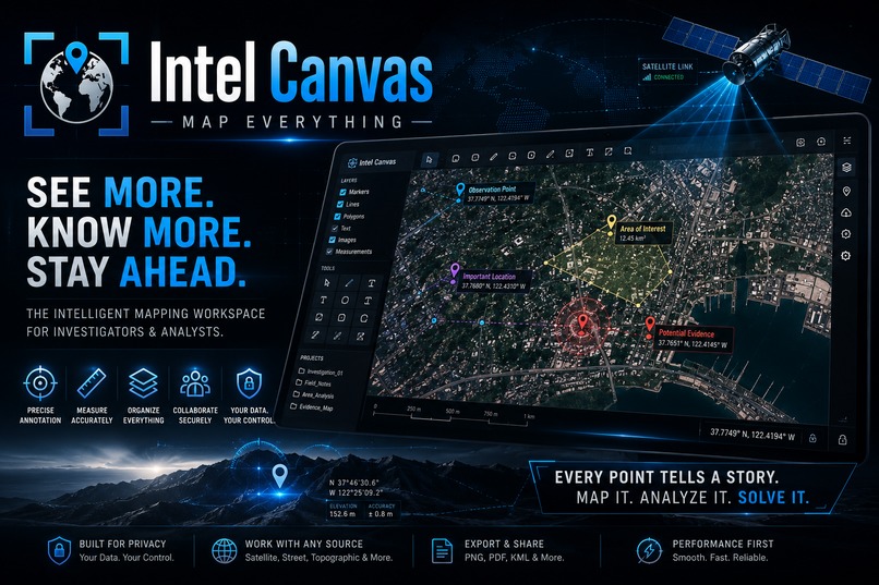
Intel Canvas is a premium, browser-based geospatial intelligence workspace built for people who actually need to think on maps - OSINT analysts, investigators, journalists, emergency planners, security teams, researchers, and field operators.
It’s not just another mapping tool.
It’s a visual intelligence command center - the love child of Google My Maps, QGIS, Figma, and a professional OSINT whiteboard.
What Intel Canvas Is
A completely frontend, privacy-first, no-backend geospatial canvas where you can:
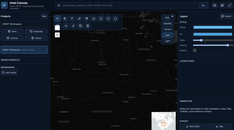
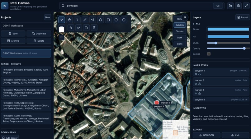
- Draw, annotate, and style markers, lines, polygons, and freehand with professional precision
- Work with multiple layers, folders, smart grouping, and per-layer controls
- Measure distances, areas, bearings, and create buffer zones like real GIS software
- Attach evidence - images, PDFs, videos, links - directly to any object
- Add rich metadata: notes, tags, priority, confidence level, verification status, sources
- Switch between beautiful basemaps (satellite, terrain, dark, humanitarian, topographic) instantly
- Work with real coordinate systems (Lat/Long, MGRS, UTM, Plus Codes)
- Undo/Redo unlimited, multi-select, group, lock, hide, and organize like Figma
- Export everything cleanly (GeoJSON, KML, high-res PNG, PDF)
Everything runs 100% in the browser. No accounts. No tracking. No data leaves your device unless you choose to export it.
Why This Matters
In 2026, information moves at lightspeed, but most mapping tools still feel stuck in 2010. Intel Canvas changes that.
It gives power users a beautiful, fast, delightful workspace where they can turn raw geographic data into actionable visual intelligence.
Whether you’re tracking a missing person, analyzing conflict zones, planning disaster response, investigating a story, or coordinating field operations - Intel Canvas becomes your tactical canvas.
It doesn’t just show the map.
It helps you understand the map.
Built With Love For Real Users
We obsessed over every detail:
- Dark-first premium UI with glassmorphism and smooth animations
- Keyboard shortcuts for power users (M for marker, L for line, etc.)
- Professional layer management with search and nesting
- Smart measurement tools and grid overlays (including military grids)
- Future-ready architecture so collaboration can be added later without pain
All while keeping it completely static, GitHub Pages deployable, and privacy-first.
The Vision
Intel Canvas is more than software.
It’s a movement toward giving analysts, investigators, and thinkers the tools they actually deserve - beautiful, powerful, and built for how their minds work.
Map Everything.
Every point tells a story.
Every line carries meaning.
Every layer reveals truth.
This is Intel Canvas - the intelligence workspace the world has been waiting for.
Built With
- javascript
- react
- vite

Log in or sign up for Devpost to join the conversation.