Inspiration
Modern urban infrastructure faces a critical challenge: deteriorating road networks lead to costly vehicle damage, severe traffic accidents, and mounting municipal maintenance expenses. Traditional road inspection methods rely heavily on manual field surveys or reactive citizen complaints—processes that are slow, inconsistent, and difficult to scale. We created InfraShield AI to transition city management from reactive repair to proactive, data-driven maintenance.
What it does
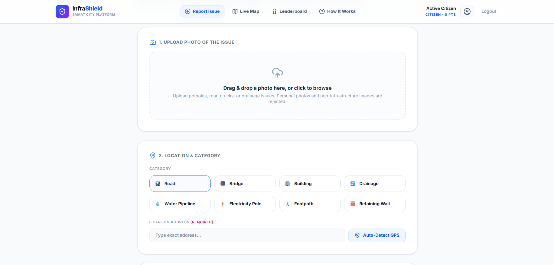
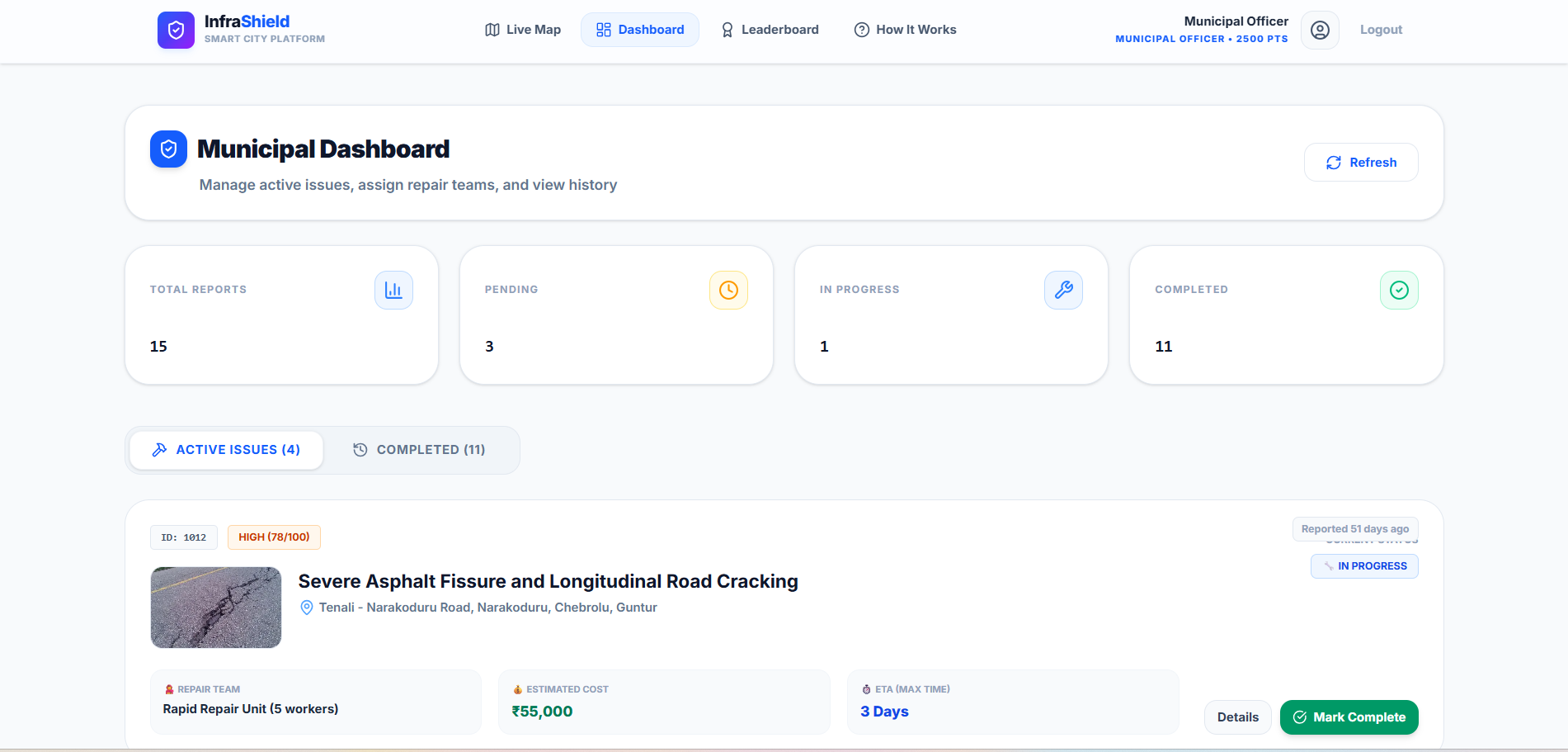
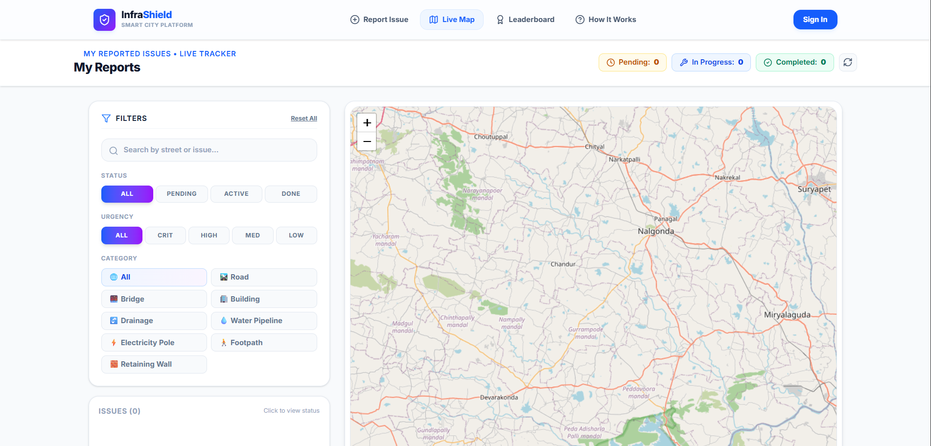
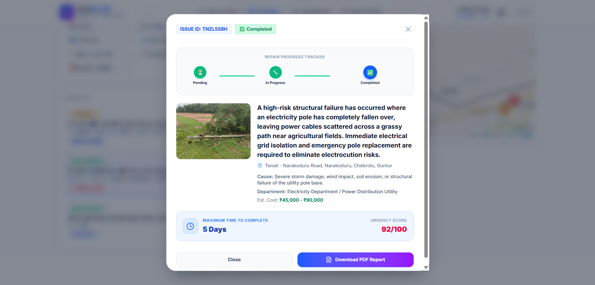
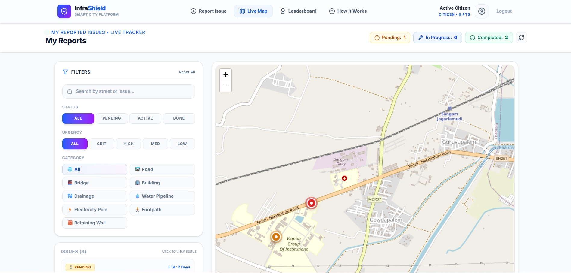
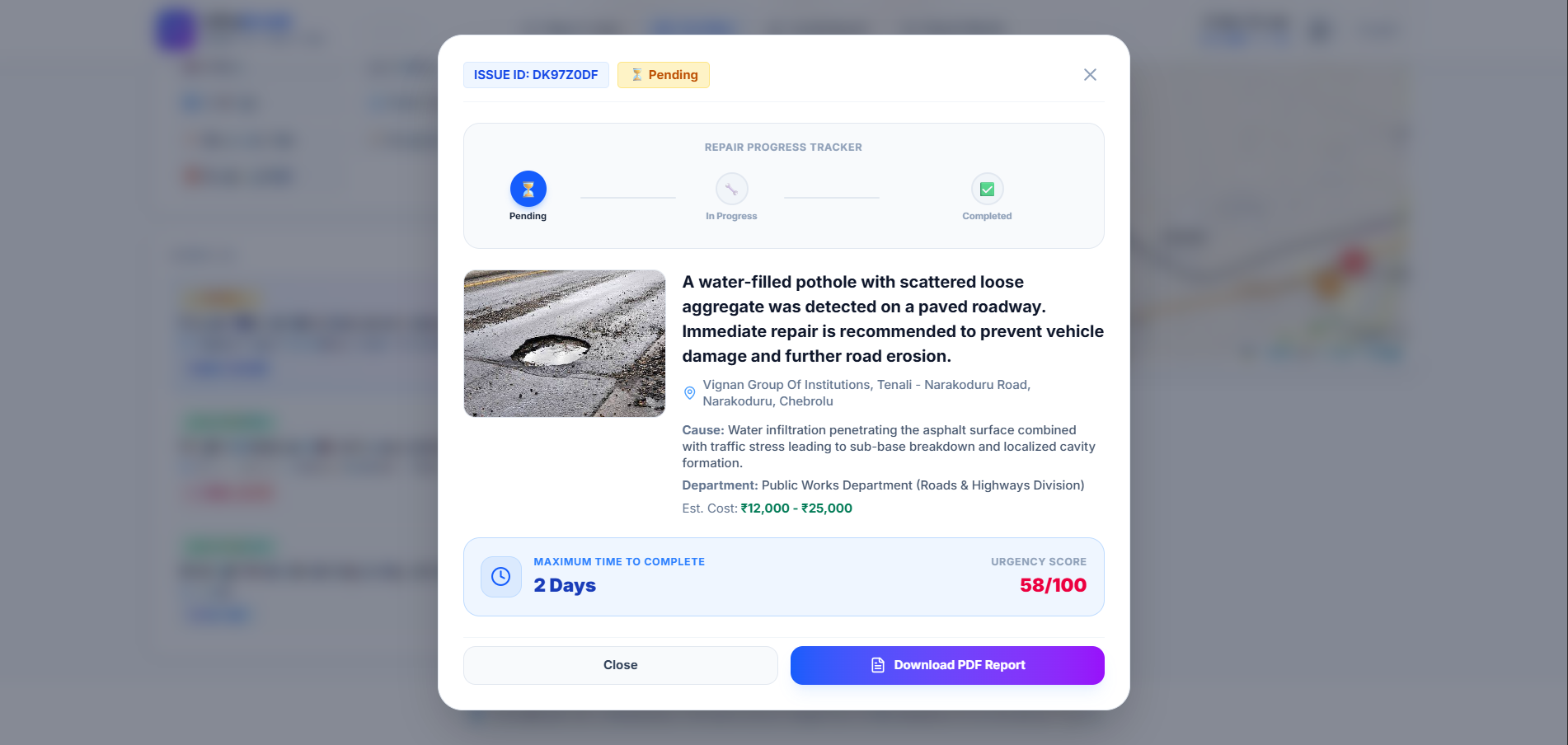
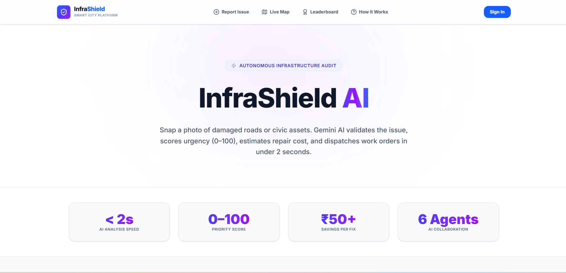
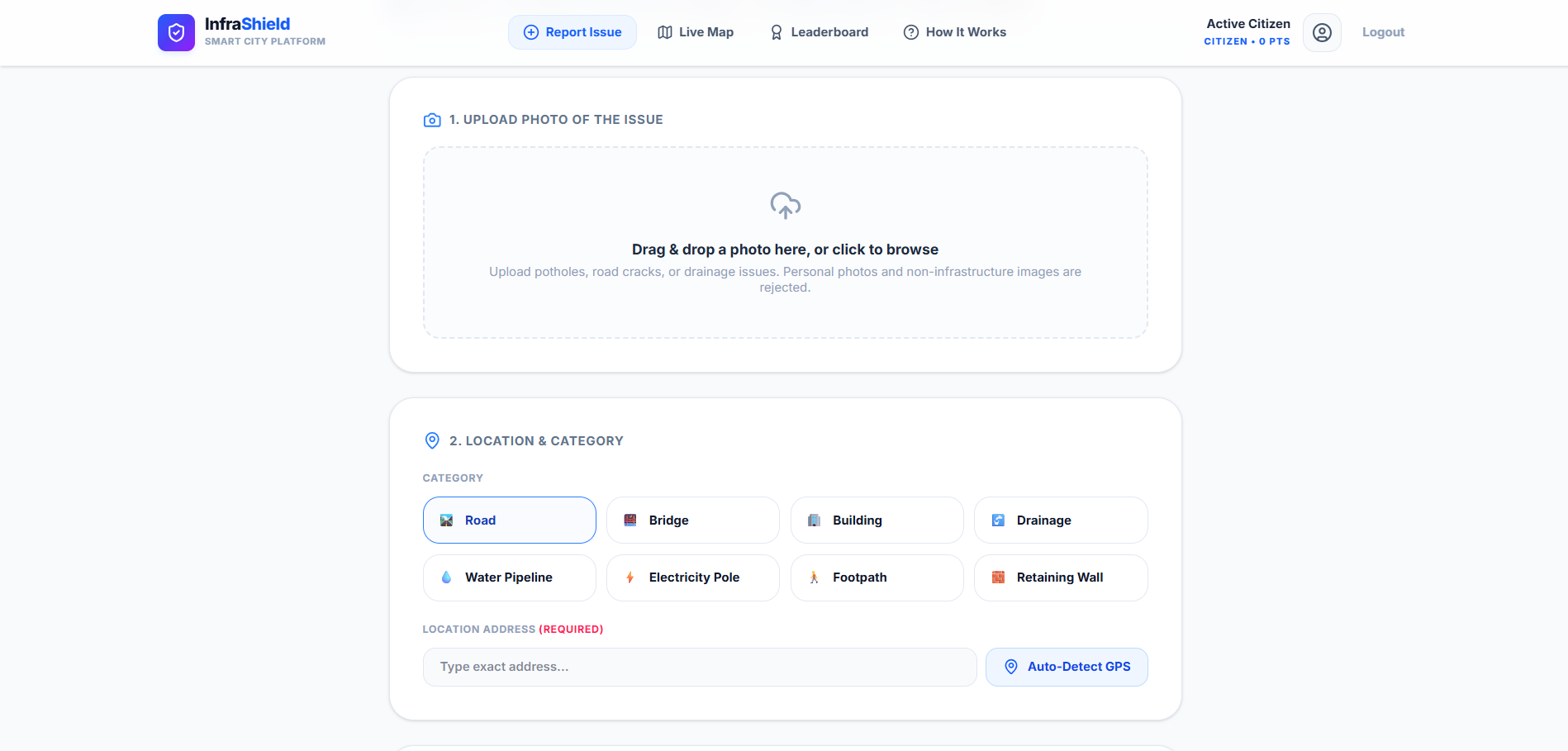
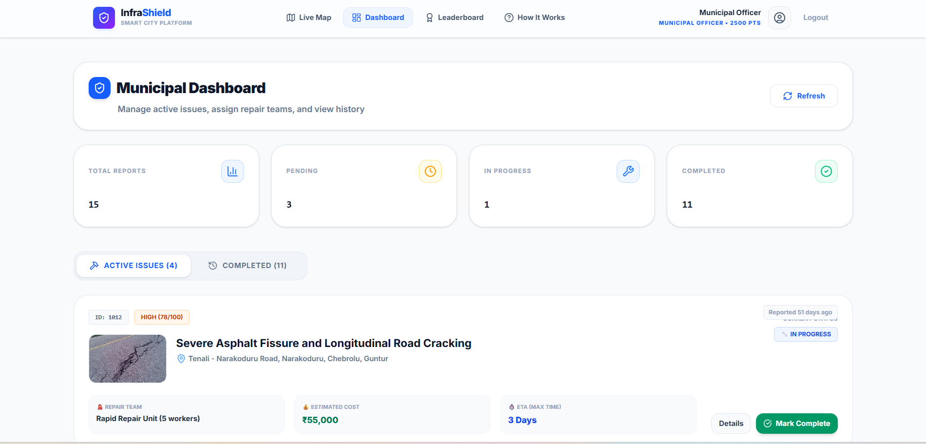
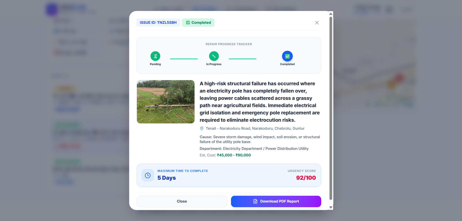
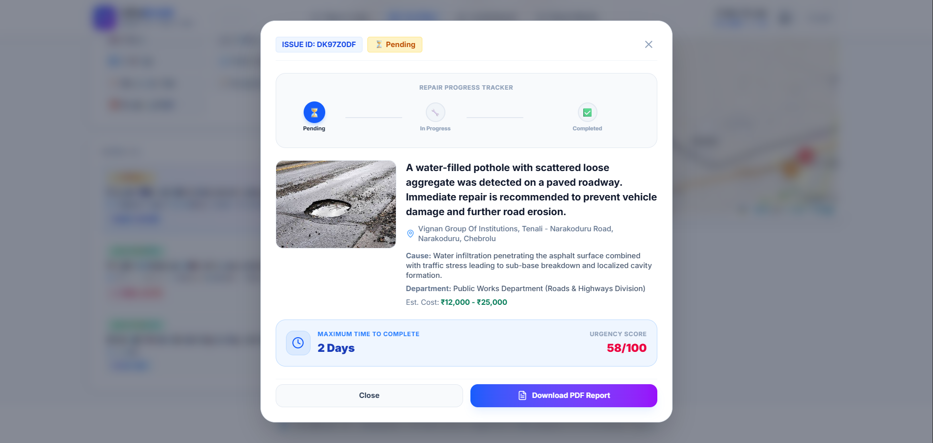
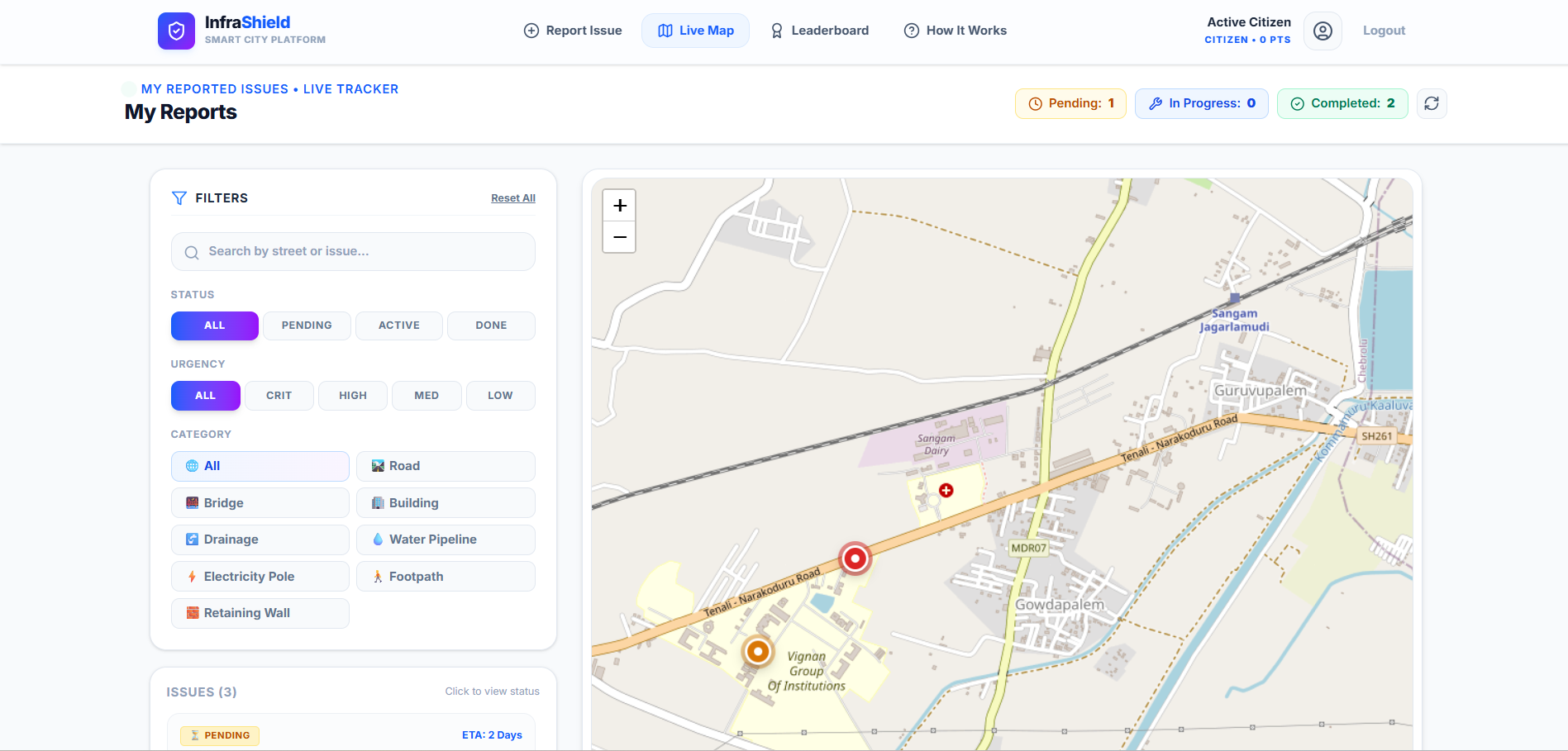
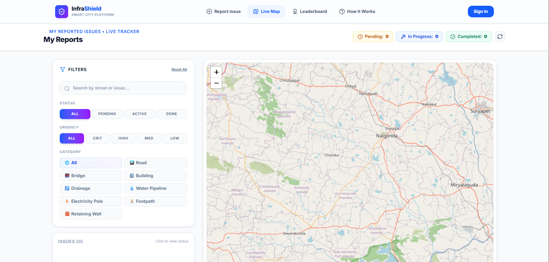
InfraShield AI is an intelligent road inspection and municipal issue tracking platform. It uses computer vision and Google Gemini AI to automatically detect infrastructure defects (such as potholes and structural cracks) from images or video streams. The platform calculates defect severity, pins precise geospatial locations on an interactive municipal dashboard, and streamlines ticket generation so maintenance crews can prioritize and repair high-risk hazards faster.
How we built it
- Frontend & Dashboard: Built with Next.js and Tailwind CSS for a responsive, real-time analytics command center.
- Backend & Database: Powered by Firebase for secure user authentication, real-time data synchronization, and fast content delivery.
- AI & Computer Vision Core: Integrated Google Gemini AI API alongside custom vision pipelines to classify defect types and assess damage severity.
- Deployment: Hosted and deployed seamlessly via Vercel with continuous integration pipelines.
Challenges we ran into
- Variable Environmental Conditions: Road surfaces look vastly different under extreme sunlight, rain, or heavy shadows. Fine-tuning vision parameters to avoid false positives from shadows or debris required extensive testing.
- Geospatial Performance: Rendering thousands of real-time defect markers on an interactive map without causing browser lag required implementing smart location clustering algorithms.
- Payload Optimization: Processing high-resolution visual data on the fly introduced memory overhead, which we solved by dynamically sampling frames before routing data to the AI backend.
Accomplishments that we're proud of
- Successfully building an end-to-end pipeline that converts raw road images into actionable, prioritized repair tickets in seconds.
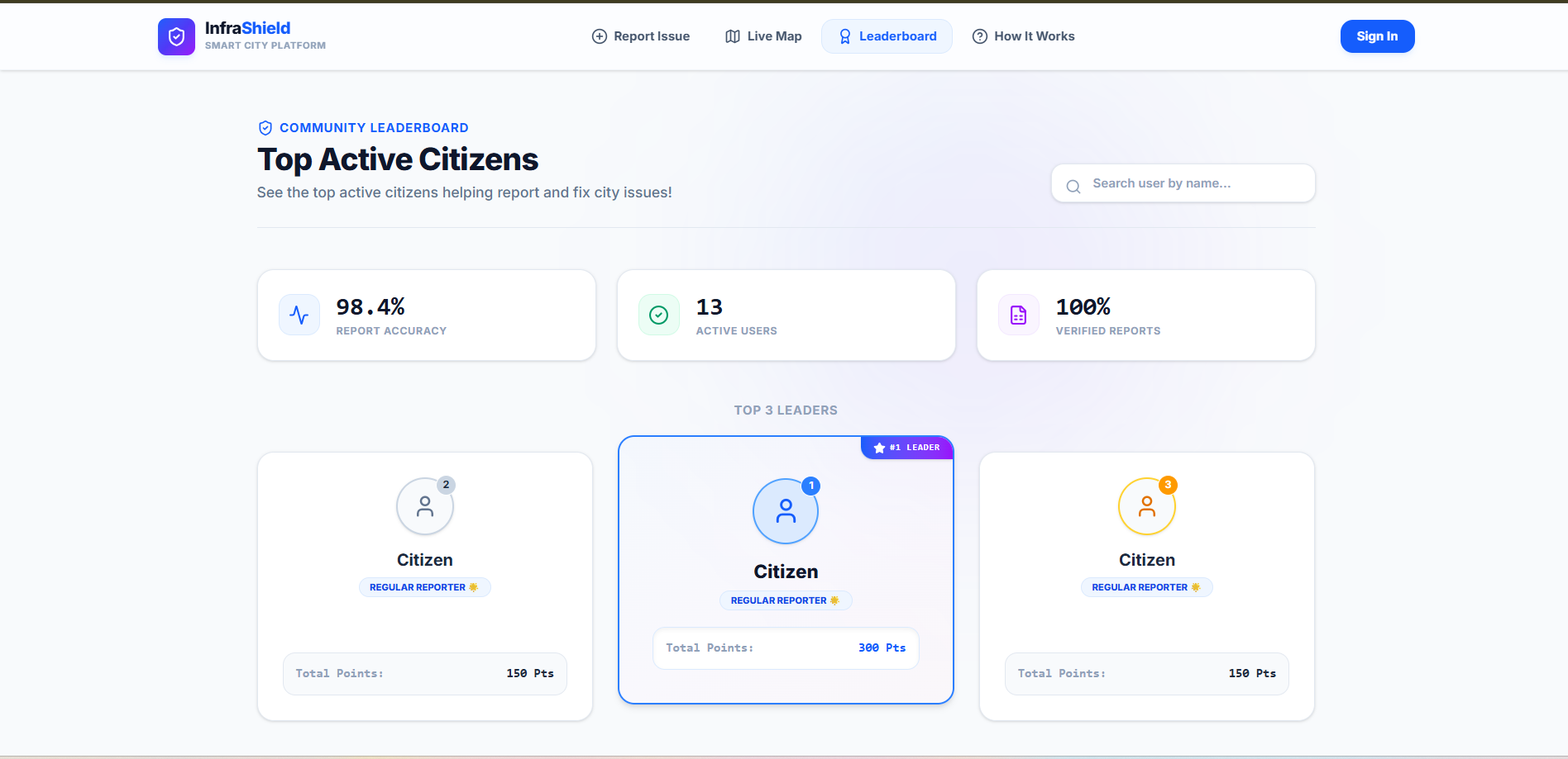
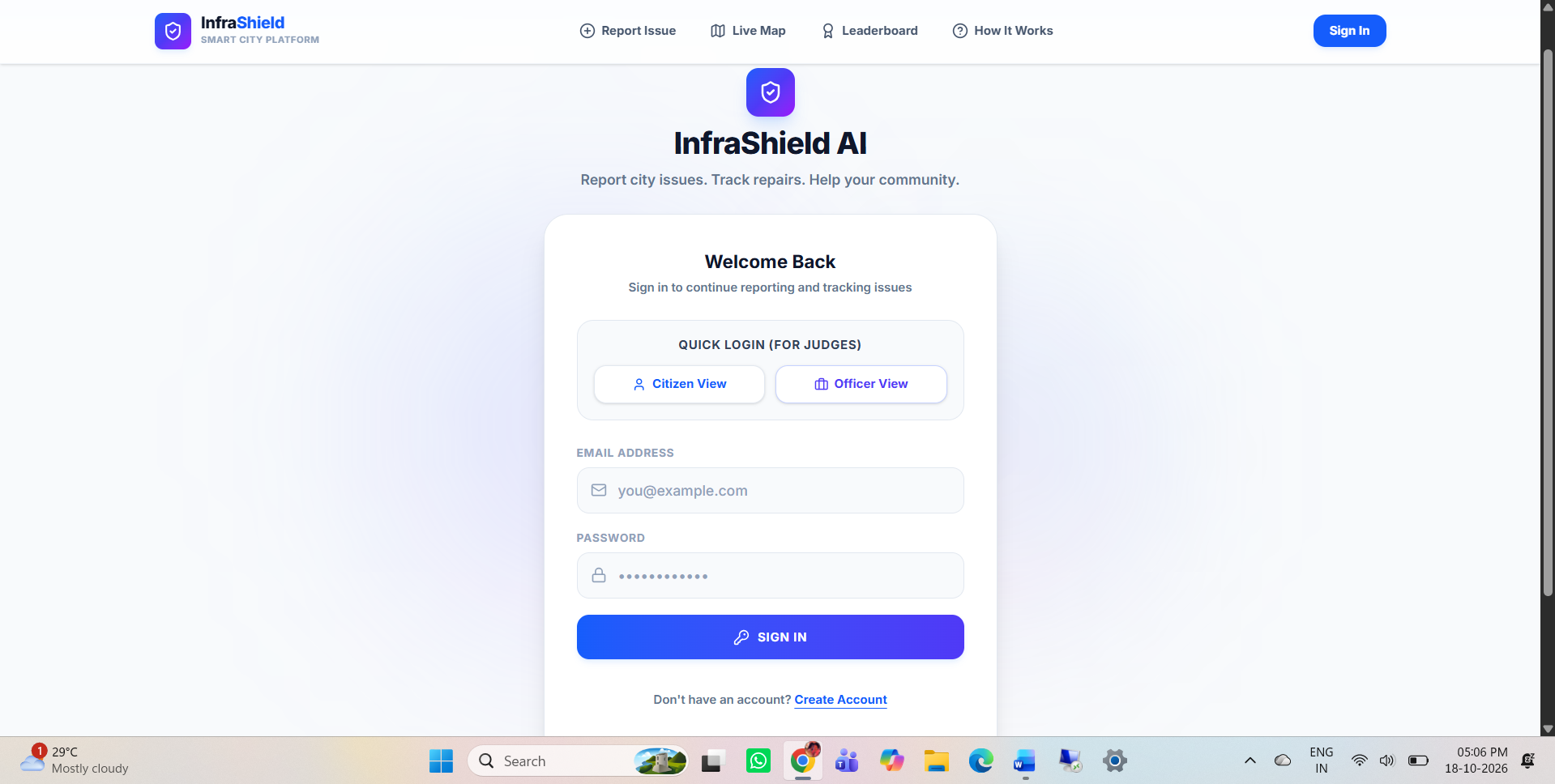
- Designing a clean, intuitive dashboard that translates complex technical AI outputs into clear metrics for city officials.
- Creating an automated severity scoring algorithm that helps cities allocate repair budgets to the most critical roads first.
What we learned
- Hands-on experience scaling Next.js application state while orchestrating serverless AI API workflows.
- Structuring geospatial telemetry data effectively to build real-time heatmaps.
- Understanding the real-world operational constraints of municipal planning and designing software that directly solves civic problems.
What's next for InfraShield AI
- Mobile App for Field Crews: Developing a dedicated mobile interface for repair teams to accept jobs, navigate to defects, and log finished work.
- Crowdsourced Dashcam Integration: Partnering with public transit or rideshare fleets to continuously and passively survey city streets.
- Predictive Failure Forecasting: Applying time-series machine learning models to forecast structural road degradation before severe potholes form.
Built With
- firebase
- google-gemini
- leaflet.js
- next.js
- react
- tailwind-css
- typescript
- vercel

Log in or sign up for Devpost to join the conversation.