-
-

1
-
2
-
3
-
3d model
-

Inspiration
Our team was inspired to use GenAI and computer vision to solve a major problem in the civil engineering domain; one that concerns both the safety of lives and the efficiency of surveying.
What it does
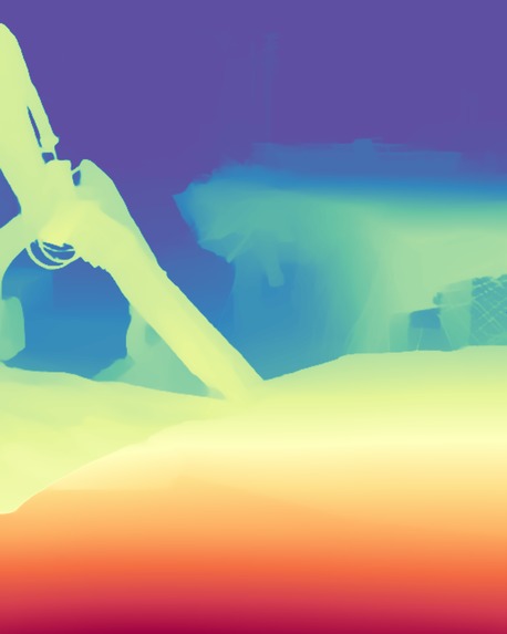
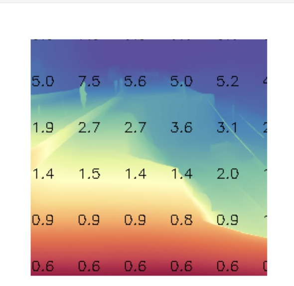
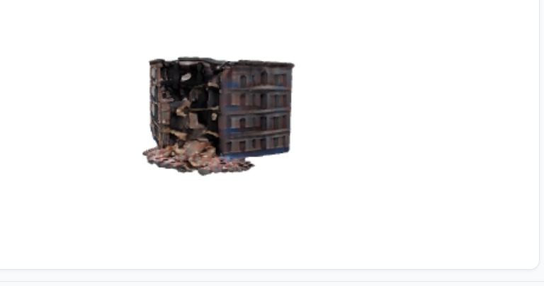
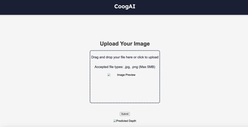
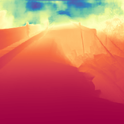
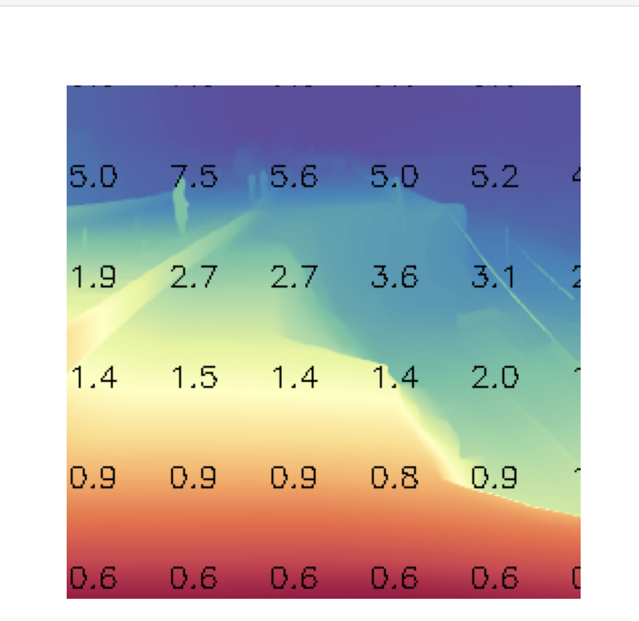
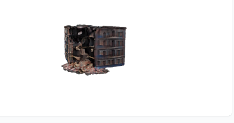
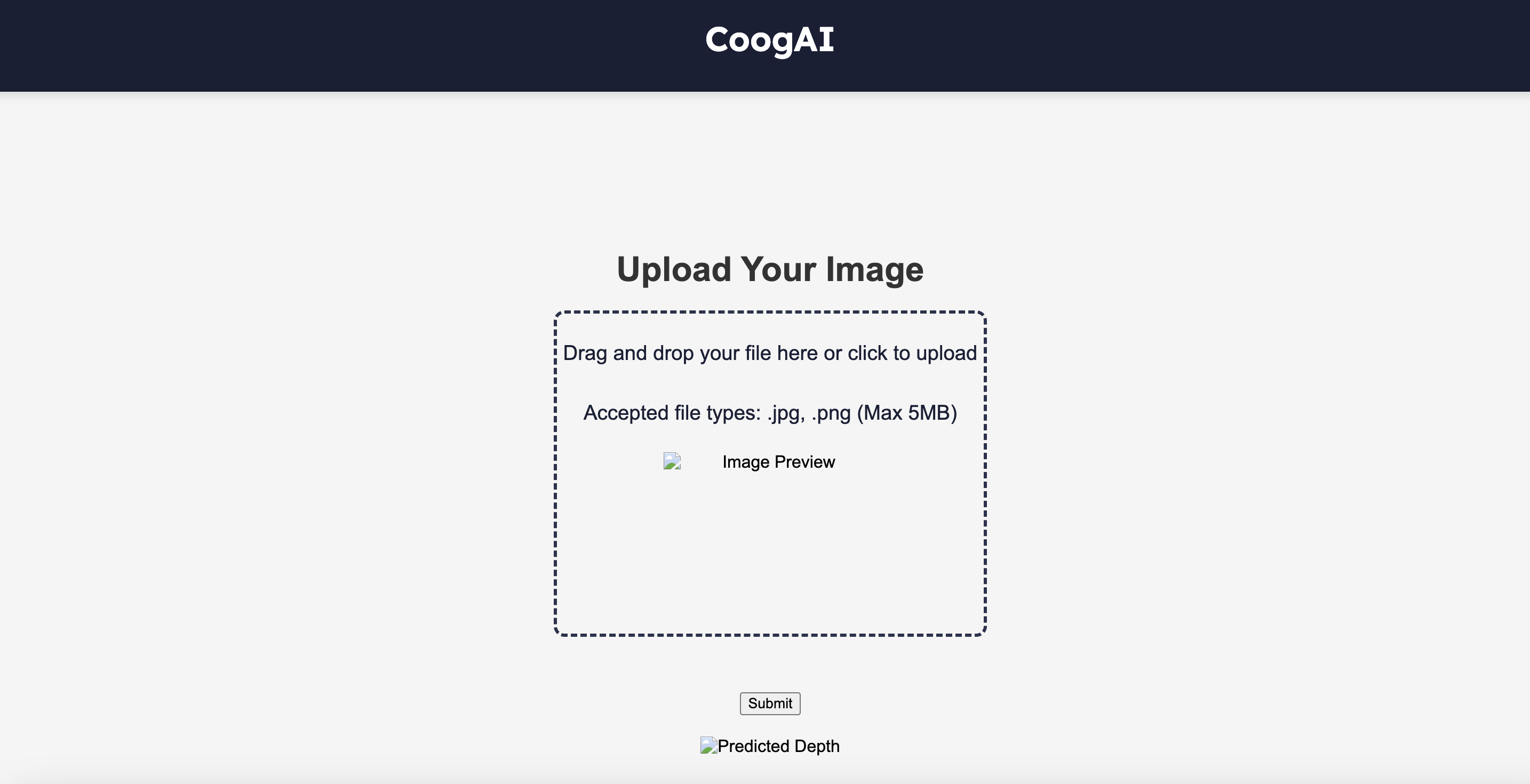
With Infra, users can scan images using drones, robots, or phones and receive real-time feedback on infrastructure conditions. We leverage state-of-the-art computer vision to provide enhanced depth estimation for accurate damage assessment and measurement. Additionally, we offer 3D modeling to safely visualize damaged infrastructure, along with a detailed report on the severity of any identified damage.
Challenges we ran into
Combining all of the model into one sophisticated app was extremely painful, i have the upmost respect for Dev Ops.
Accomplishments that we're proud of
We are very proud that our software has the potential to save lives and be a real-world business solution
What we learned
We learned how to implement foundational model from our local environment to a web application
What's next for Infra
The next goal would be to extend the 3d reconstruction from a single images to multiple images so that we can introduce structure-from-motion

Log in or sign up for Devpost to join the conversation.