
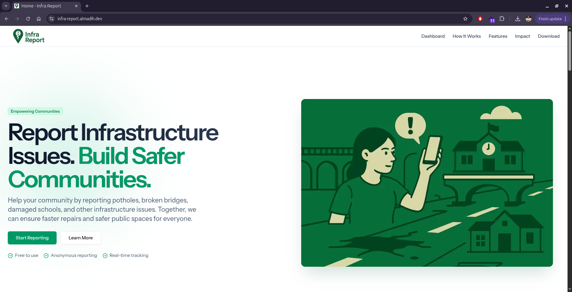
Inspiration
After two years of devastating war in Sudan, countless roads, bridges, schools, and other vital infrastructure have been destroyed or severely damaged, especially in the capital and major cities. Restoring normal life will require an enormous collaborative effort from both the government and citizens. This project is inspired by the belief that every citizen can play an active role in rebuilding the nation. By providing a platform for crowdsourced damage reporting, we aim to bridge the information gap, ensuring that no critical damage goes unnoticed and that repair efforts can be prioritized effectively. It’s a step toward empowering communities, accelerating recovery, and fostering a sense of shared responsibility for Sudan’s future.
What it does
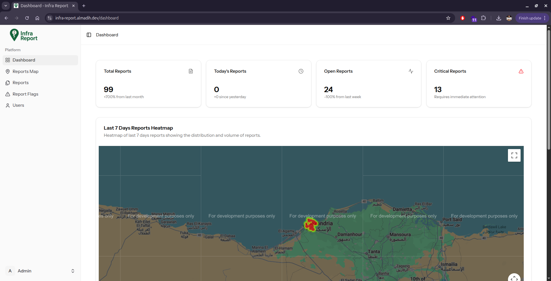
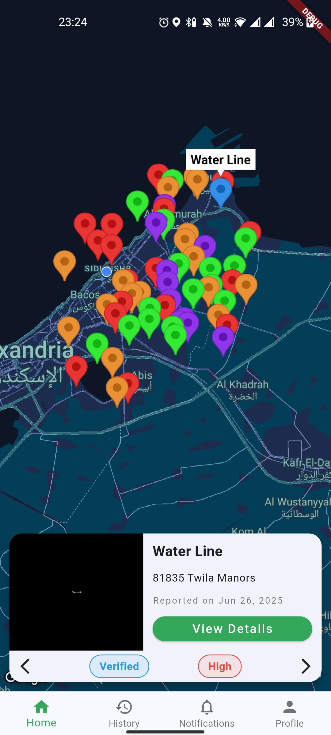
The tool allows citizens to report damaged infrastructure by uploading geotagged photos and descriptions via a mobile app. These reports are aggregated and visualized on a dashboard, helping NGOs and government agencies identify critical areas, prioritize repairs, and allocate resources effectively.
How we built it
We developed a cross-platform mobile app (Flutter) for reporting infrastructure damage, integrated with GPS and camera features for geotagged photos. A backend (Laravel + PostgreSQL with PostGIS) stores and processes reports, while a web dashboard (Vue) visualizes real-time data, heatmaps, and analytics for NGOs and government agencies.
Challenges we ran into
- Ensuring accurate and verified reports to avoid false or duplicate data.
- Limited internet connectivity in war-affected areas.
Accomplishments that we're proud of
- Built a functional mobile app and dashboard from scratch in a short time.
- Integrated geotagging and real-time mapping for accurate tracking.
- Created a scalable backend capable of handling large datasets.
- Designed a user-friendly and easy to use interface.
What we learned
Deepened expertise in PostgreSQL and PostGIS, learning how to store and query geospatial data efficiently. We implemented spatial indexing, geofencing, and heatmaps, and optimized queries for real-time location-based analytics. Learned to build Flutter apps with robust offline caching, using local storage (Drift/SQLite) to store reports when offline, syncing seamlessly with the backend once connectivity is restored.
What's next for Infra Report
Next steps enhance the platform with cutting-edge technologies and features. For example integrate AI and machine learning models to automatically assess the severity of damage from uploaded photos, prioritize critical reports, and predict infrastructure risks. Introduce community-driven features like report upvoting and verification. On the backend, will enhance scalability and analytics by leveraging real-time data pipelines, and integrate with NGO/government systems for streamlined response.


Log in or sign up for Devpost to join the conversation.