


Inspiration
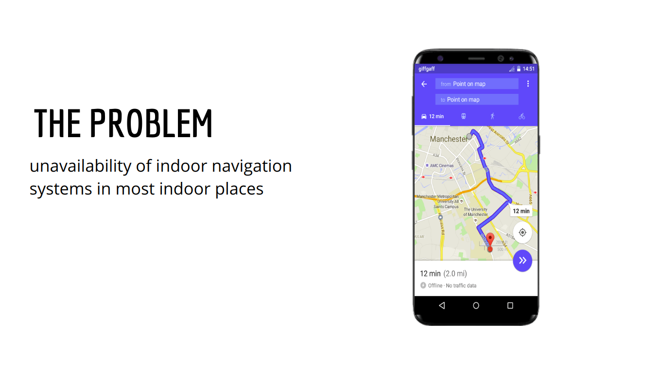
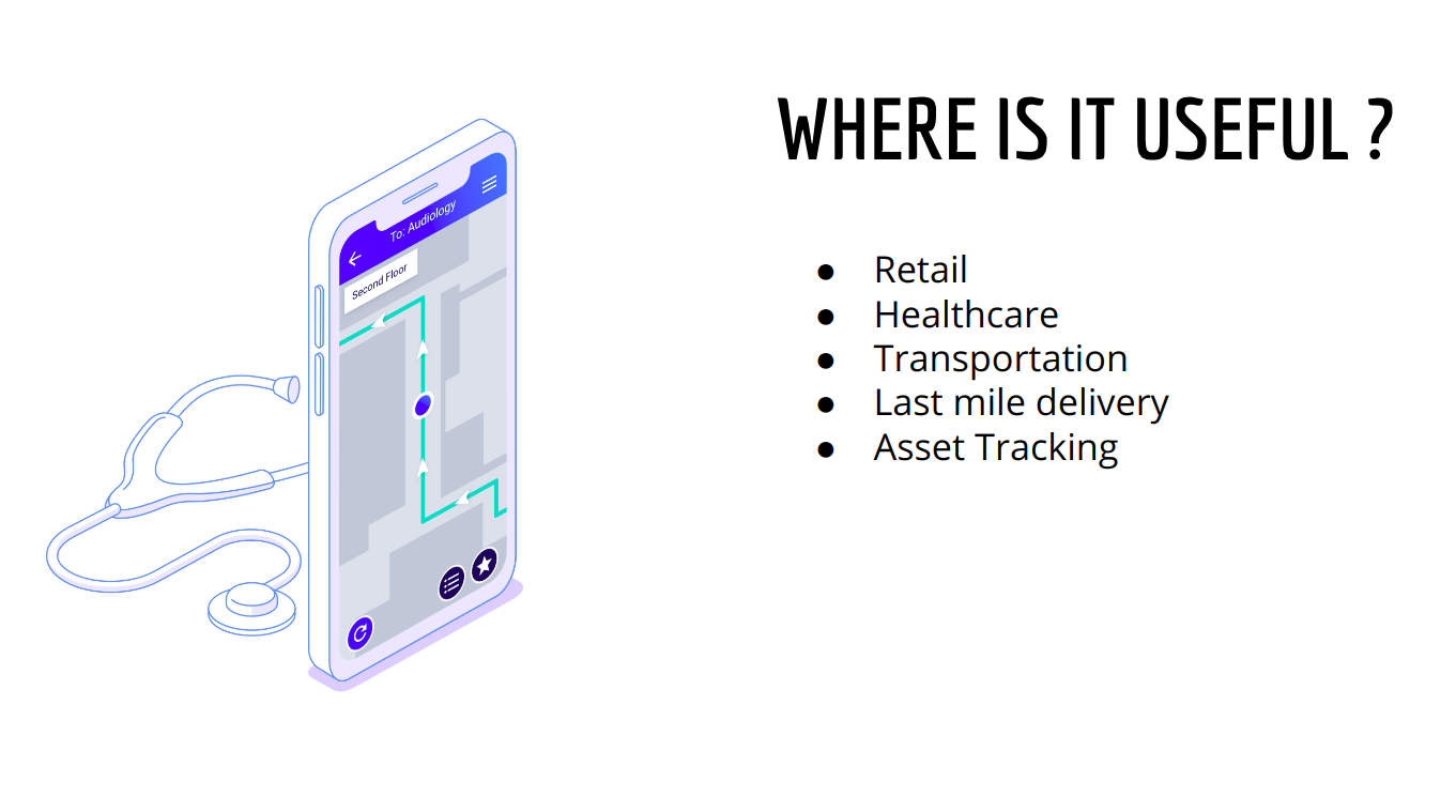
Finding correct destination room in a building that you are visiting for the first time, or determining the position of the platform number in metro stations etc. is always have been a daunting task. Indoor Navigation System has huge use cases in Retail, Healthcare, Transportation, Last mile delivery, Asset Tracking etc.
What it does
It provides Indoor AR Navigation demo utilising last meter location tracking through RSSI signal strengths.
How we built it
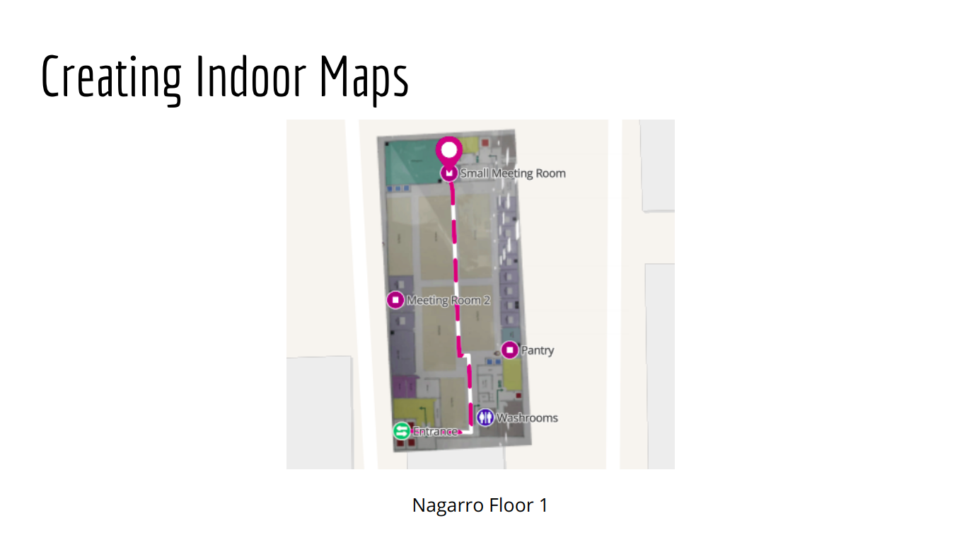
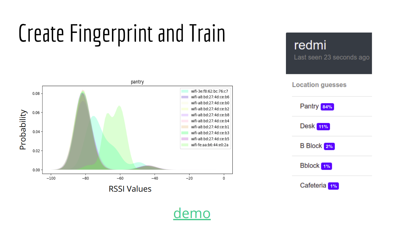
We used Mapwize UI to create indoor map of Nagarro Building's first floor(using the floor map on the wall near pantry area). After that we defined places of interest and routes between them. We then scanned these places of interest for WiFi and Bluetooth signal strengths of nearby access points to create "fingerprint" using the FIND3. We than used this fingerprint data to train the machine learning model for categorizing places according to their fingerprint data. Then when we go from point A to point B, our app scans for these signal strengths and compares them with the stored data to determine the probability of being near a place of interest at each point of time. When then use this probability data to create AR markers on the path from A to B using AR Core.
Challenges we ran into
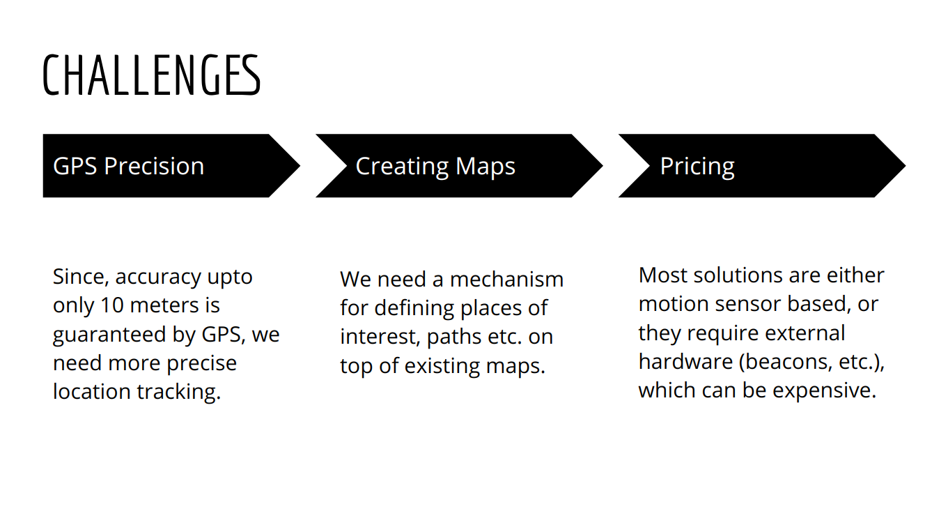
- Improving the accuracy of our machine learning model.
- Integrating signal data with AR.
- Determining direction of anchor points.
Accomplishments that we're proud of
- We were able to improve the accuracy of location detection.
- Using AR for the first time and creating paths.
What we learned
- We learned that GPS fails for indoor positioning and we have to rely on other sensory data area for precise location tracking. ## What's next for Indoor Maps AR
- Providing support for creating indoor maps.
- Rerouting of available paths.
Built With
- android
- ar-core
- find3
- mapwize-ui

Log in or sign up for Devpost to join the conversation.