inCitu is an NYC-based venture-backed startup that maps the world’s future built environment into augmented reality, using state-of-the-art visualizations and data to empower developers, governments, and citizens to collaborate on the future of cities.
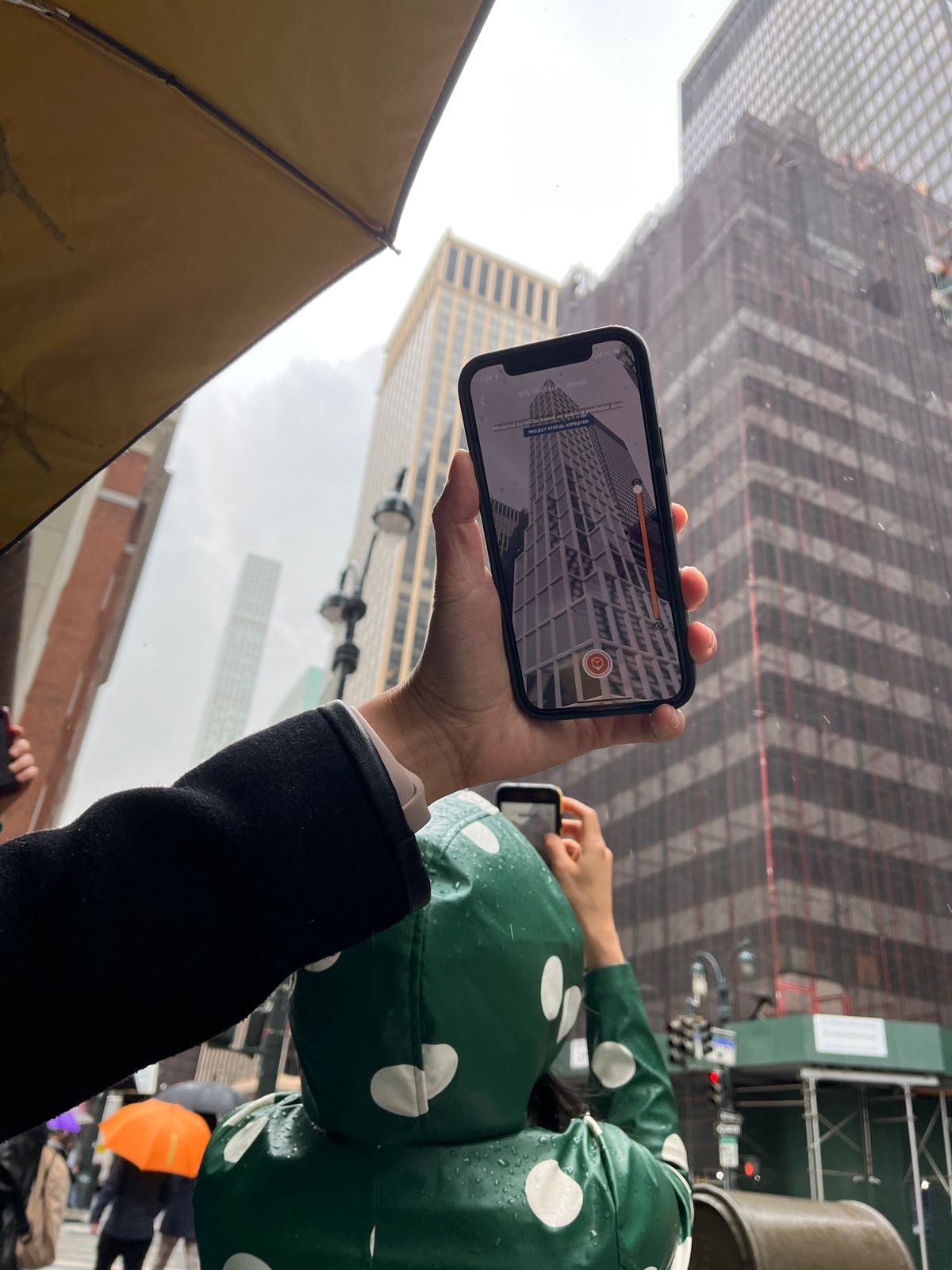
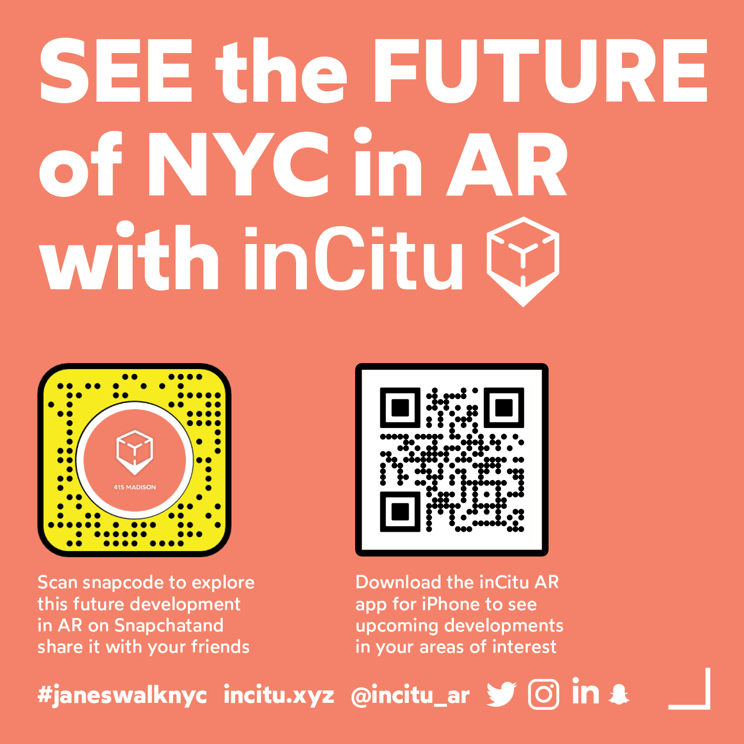
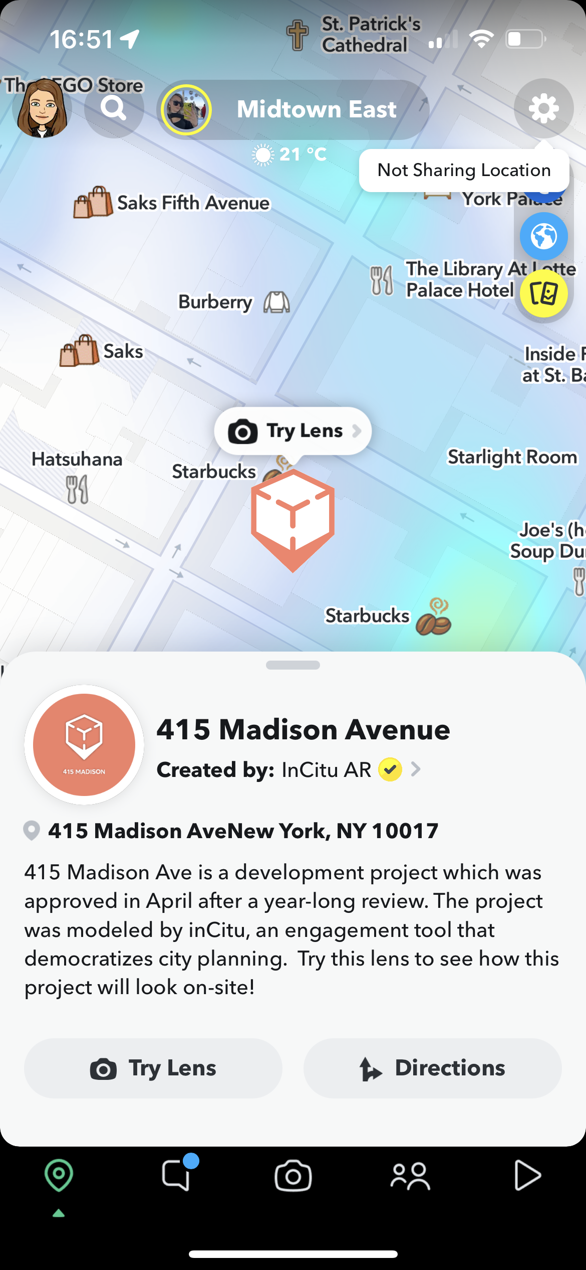
inCitu takes city planning proposals out of city hall and into their urban context, presenting them on a real scale, on-site, in AR. We enable this content through our iOS civic engagement app (https://apps.apple.com/us/app/incituar/id1557897783), and as a layer on top of existing platforms, such as Snapchat. inCitu is proud to be a Ghost fellow and to work closely with Snap Inc. to drive more impact through our technology and business together.
For this Lensathon project, we expanded the AR experience to make it interactive and even more engaging. We aimed to "let buildings speak" their story, what they are today, how they are changing, and what they can be. Although this information is publicly available, it is mostly inaccessible or opaque, with bits and pieces of the picture scattered in marketing documents, filings, permits, databases, maps, and more.
In this project, we chose a real proposed development located in 570 5th Ave, New-York, NY. This project is under review these days (link to the proposal page at the NYC Zoning Application Portal: https://zap.planning.nyc.gov/projects/2020M0429), and designed a story-lens that walks the user through the current zoning, and the two proposed development scenarios. We used interactive capabilities and colors to visually and elegantly communicate the implications of each scenario on the site's land-use, density, and volume.
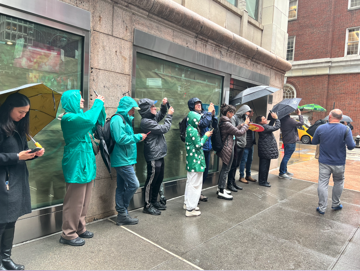
We used CLM to anchor these lens into the development's real future location, to let people explore on site how the area will look and feel like with each scenario. We added new feature was for people who are not near the site but do want to experience the AR: a tabletop scale of the same content, building scenarios + their future land use. The table top view is the default for people who are not on-site, while the real-world scale is the defaul when the CLM is identified. Either way - the user has the ability to toggle between the scales.
The user taps to move forward in the story, and they can also use the bullets that mark the different stages.
The goal was to empower and inform residents while not overwhelming them with too much information. The Lens takes you one thing at a time, presenting a simplified view of what is normally a complex detailed document that can be hard for people who are not normally involved in urban planning to understand.
Challenges: Designing for tabletop and real-world scale AR at the same time presents many challenges, making UI elements that work for both and thinking of all the different scenarios. We also faced some challenges building to make the Land Use colors mechanism work in a way that will not involve cutting the mesh. We also tried to make this project work as a template for future Lenses we want to embed in our app using CameraKit.


Log in or sign up for Devpost to join the conversation.