-
-
-
-
-
-
-
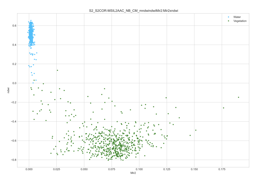
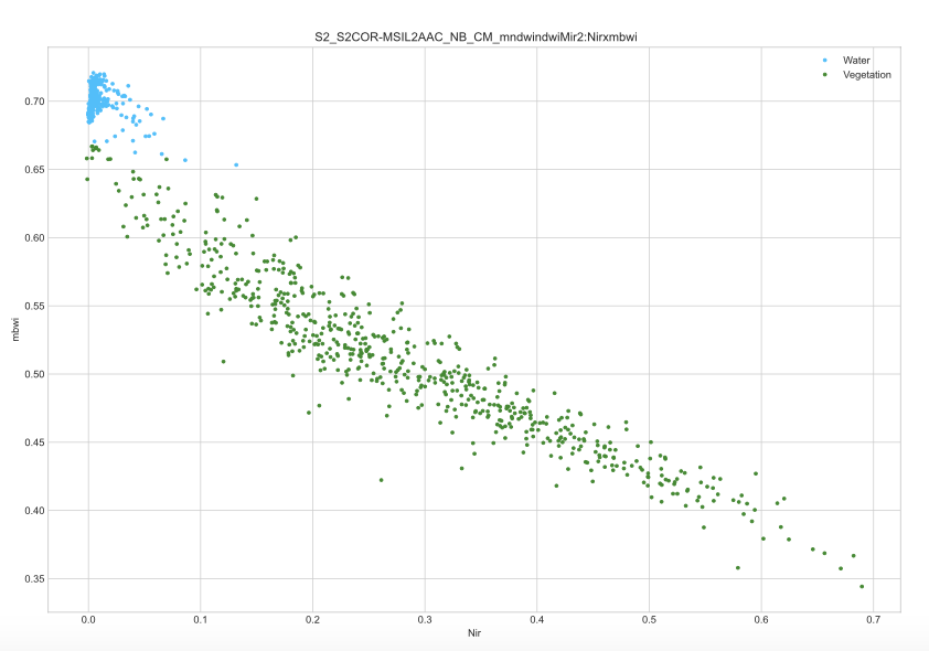
Clustering Graph
-
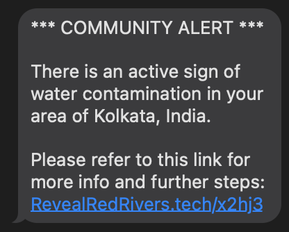
Twilio Alert
-
-
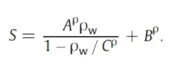
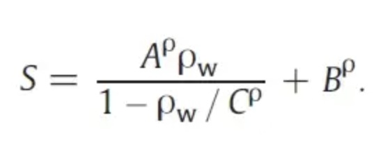
formula for inversion function
-
-
-
-
-
ChatGPT Brainstorm
-
Satellite Data
-
Satellite Data
-
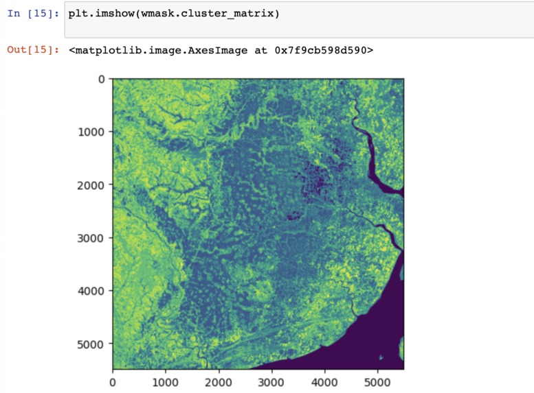
Initial cluster seperation
-
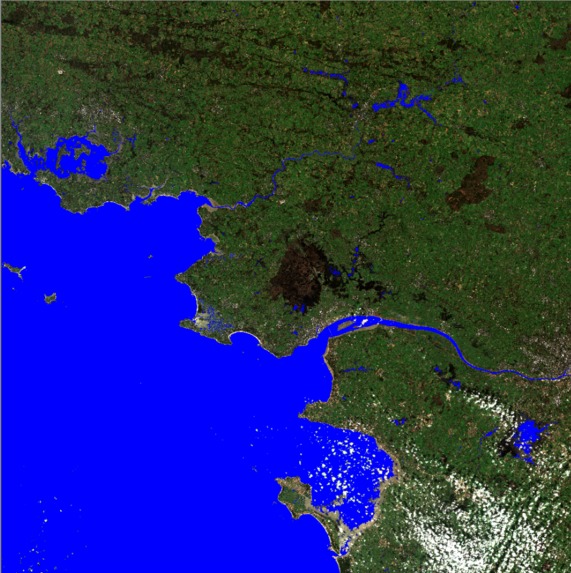
Water Detection
-
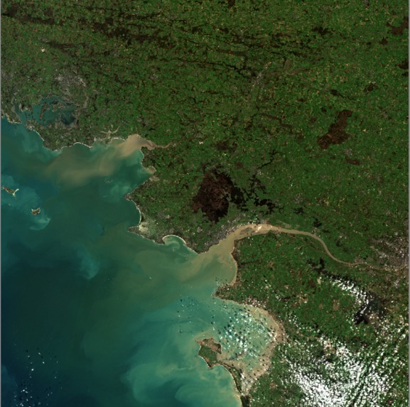
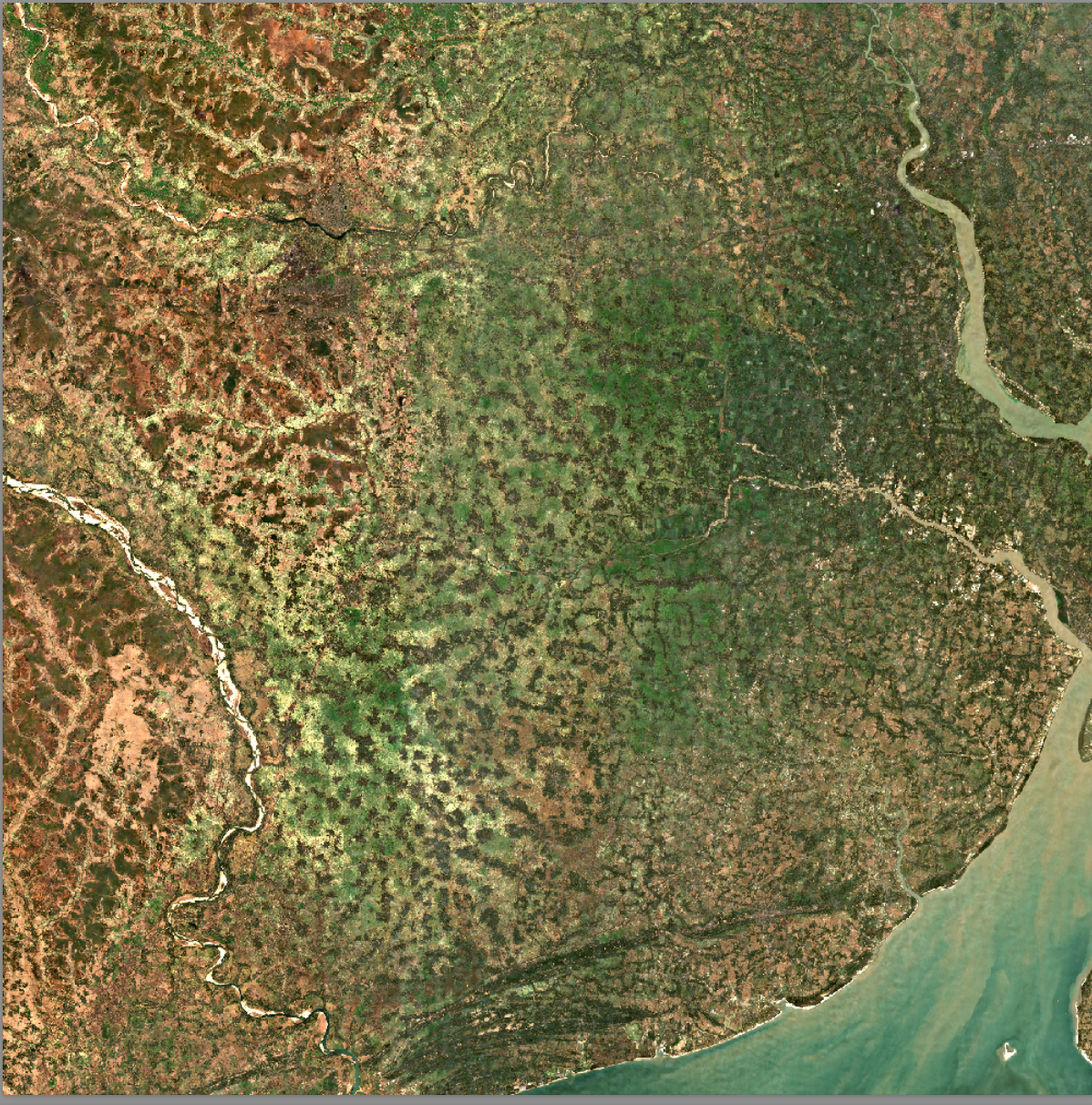
Satellite Image
-
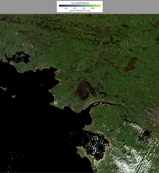
Water Quality Failure
-
-
Sentinel-2
-
Initial Clustering Attempt
-
-
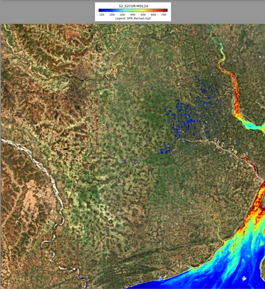
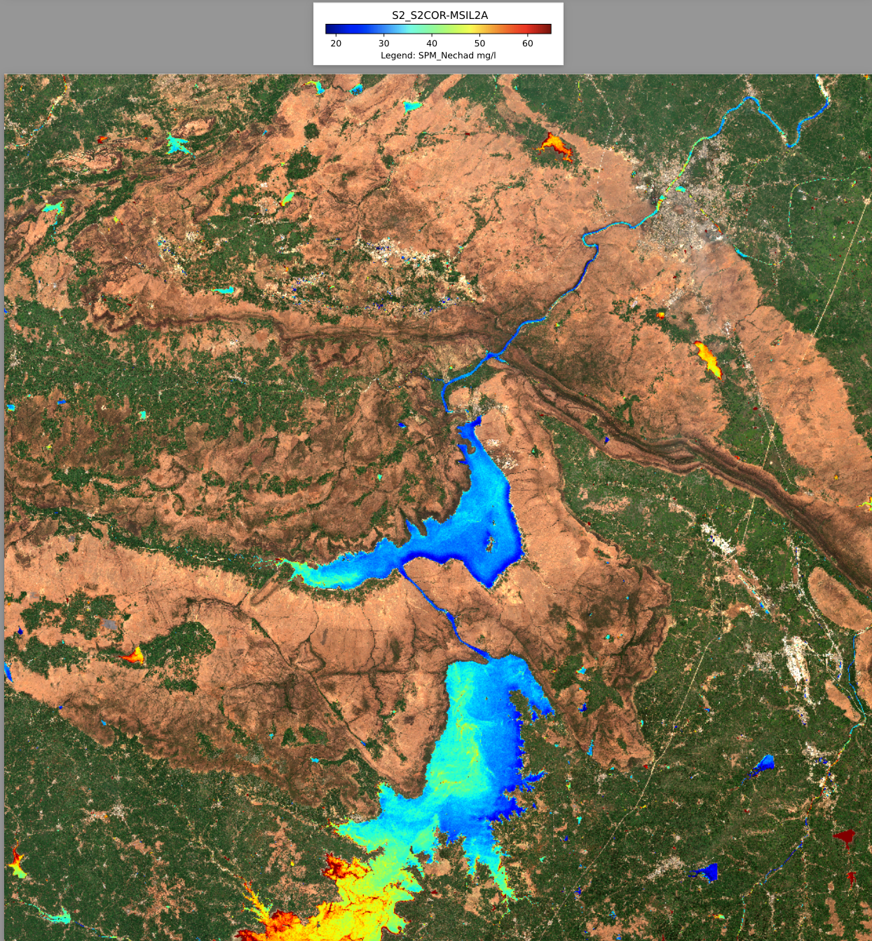
Water Quality Detection
-
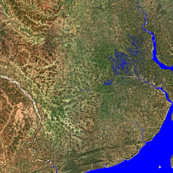
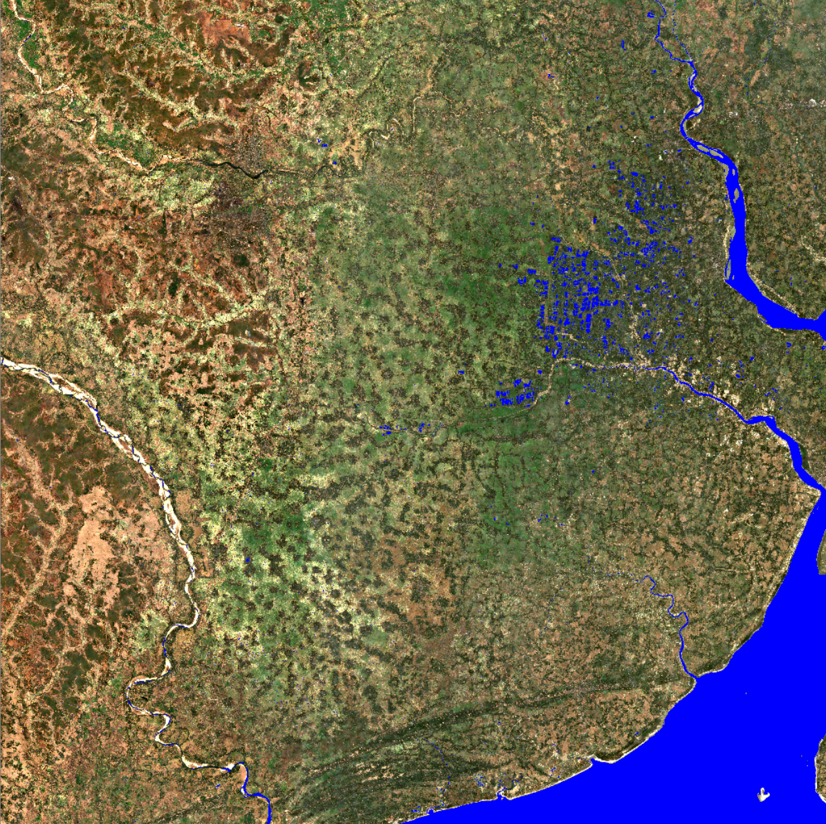
Only Water Detection
-
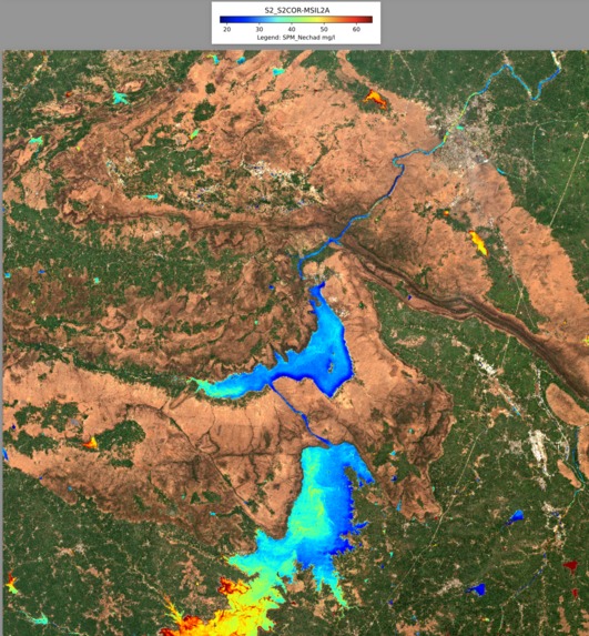
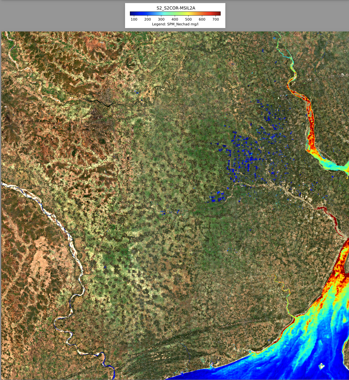
Water Quality Detection

“Globally, over 3 billion people are at risk of disease because the water quality of their rivers, lakes and groundwater is unknown, due to a lack of data” - UN
The UN’s Sustainable Development Goal 6, a product of international efforts to improve global quality of life and protect the environment that began more than 30 years ago at the Earth Summit in Rio de Janeiro, calls for the availability and sustainable management of water and sanitation for all. Recent reports indicate that the world is alarmingly behind on schedule to meet this goal by its original deadline of 2030; A fact that is made even more unnerving when considering the increasing effects of climate change on our water supply. In Southeast Asia, one of the fastest growing regions in terms of population globally, receding glaciers, shorter rainy seasons, and longer dry spells are creating issues in water distribution that are worsened by continual pollution. Many of the most toxic and pervasive pollutants such as trace metals that enter waterways as byproducts of agriculture and construction are expensive in terms of funds and time to accurately measure. These contaminants have been linked to higher cancer rates and lower economic productivity, putting a serious stress on the development of the low-income communities that rely on rivers and natural water reserves. In an effort to quickly and efficiently identify possible outbreaks of pollutants we applied machine learning techniques to analyze satellite data from high-risk areas and warn nearby communities through mobile communication.
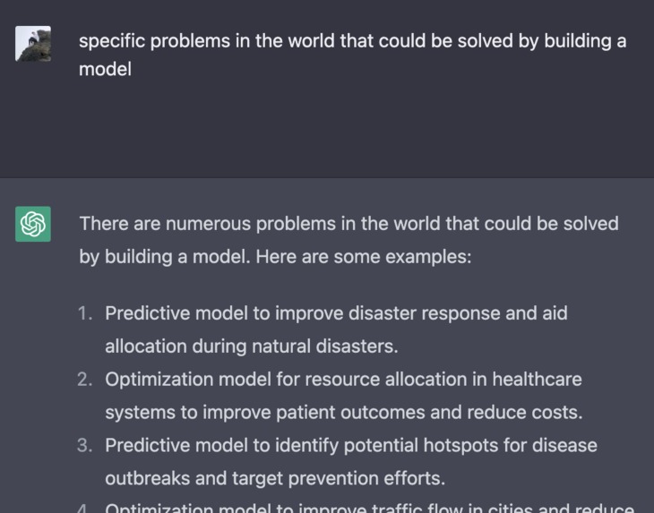
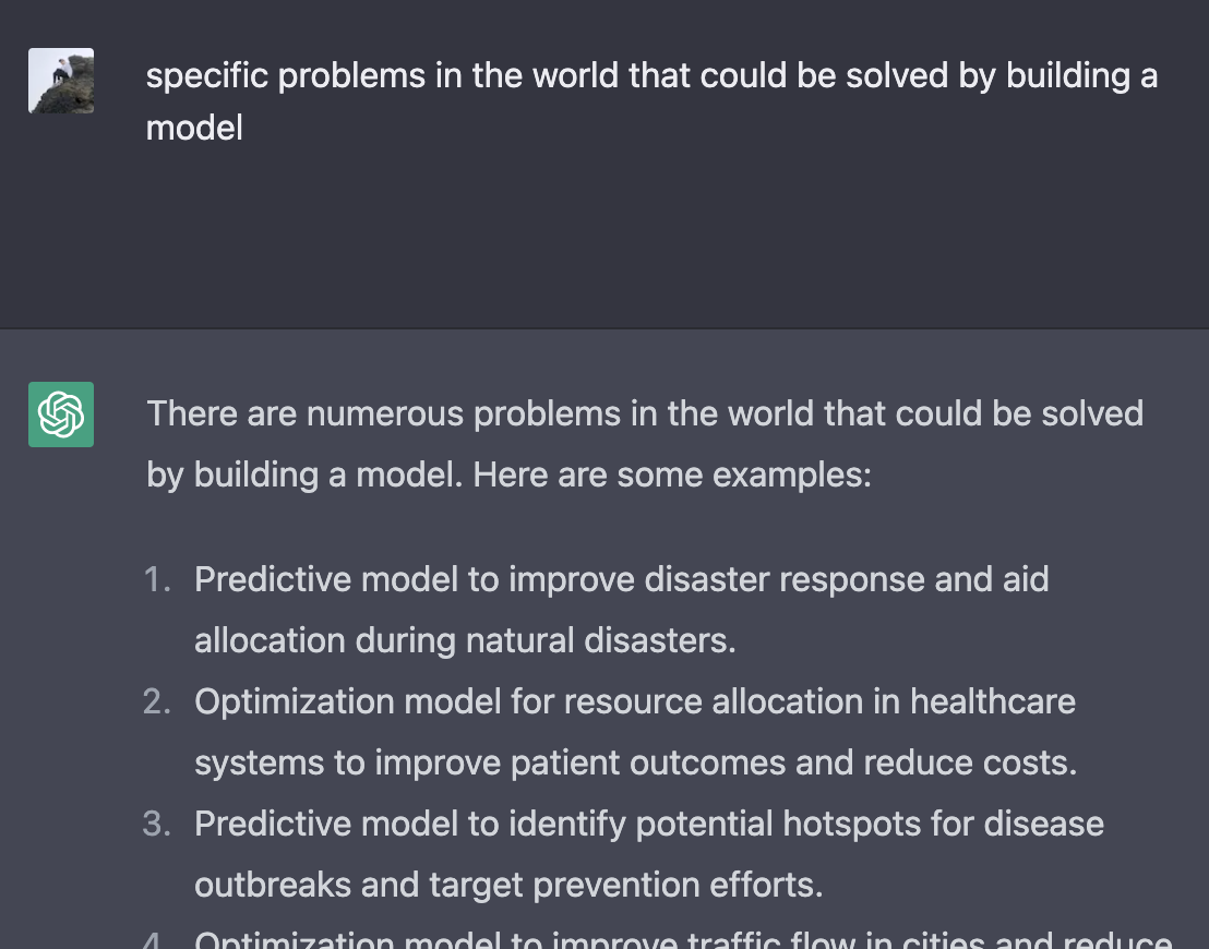
Planning Before beginning the implementation of our project, we invested a lot of energy into brainstorming options and attempting to give every area of our topic proper consideration. We took advantage of AI chatbots to assist our creative process and spent hours whiteboarding. As our idea came together, we all became increasingly excited about its potential.
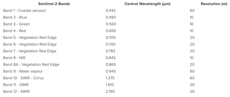
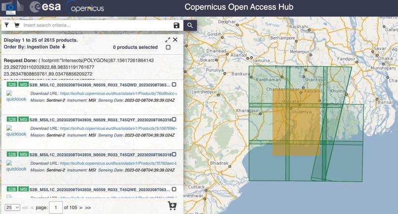
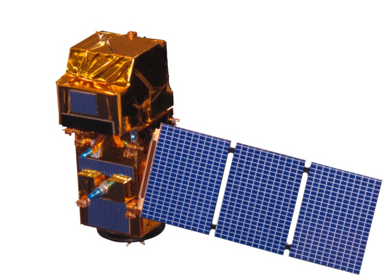
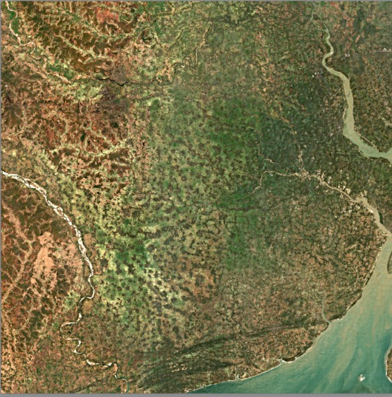
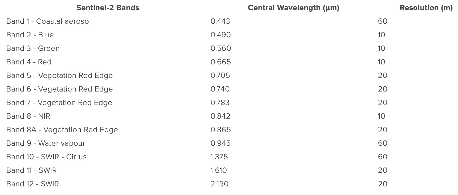
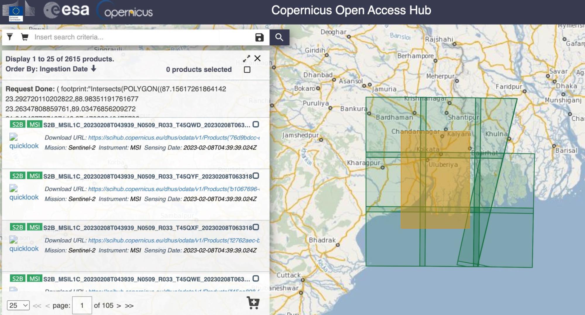
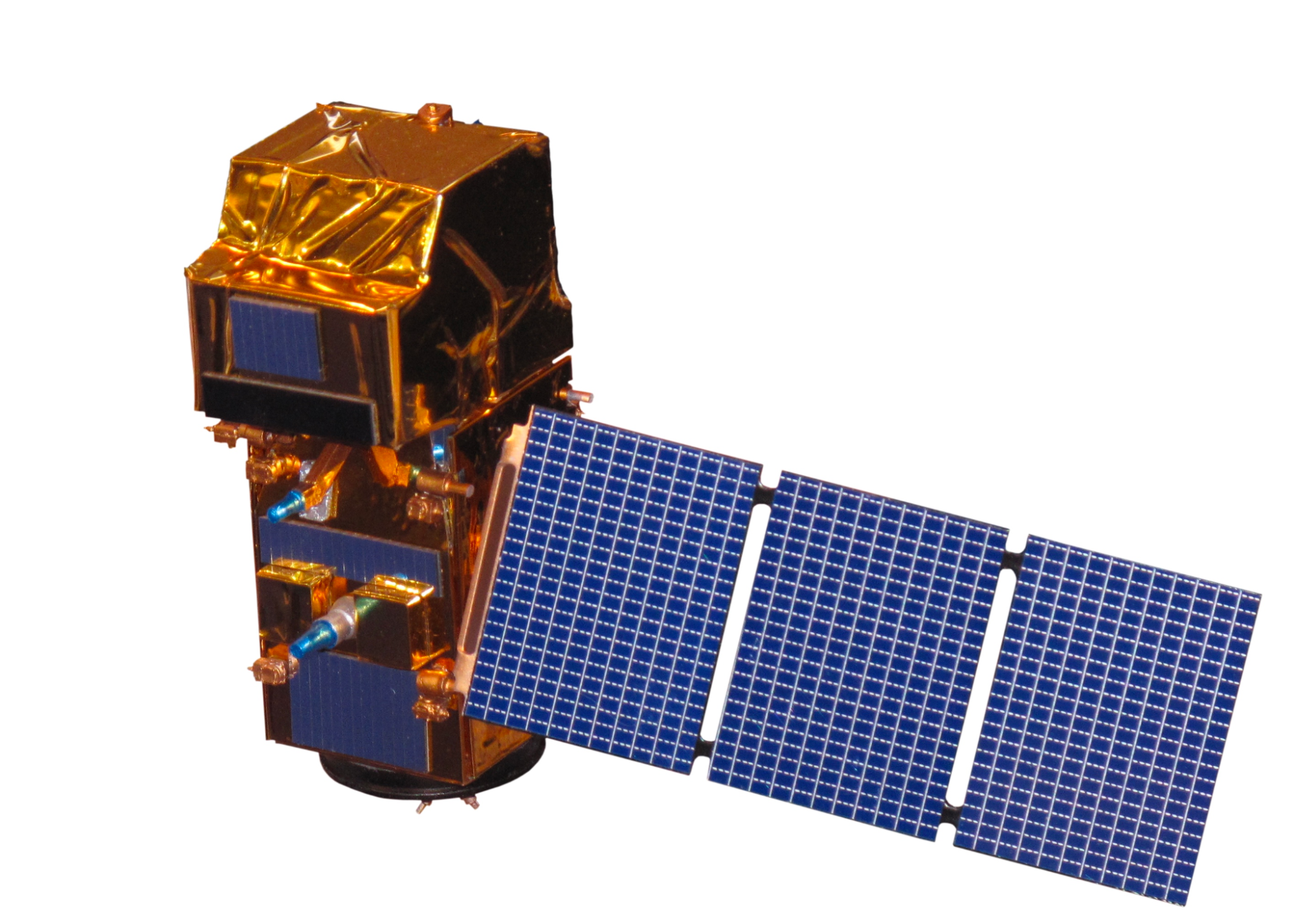
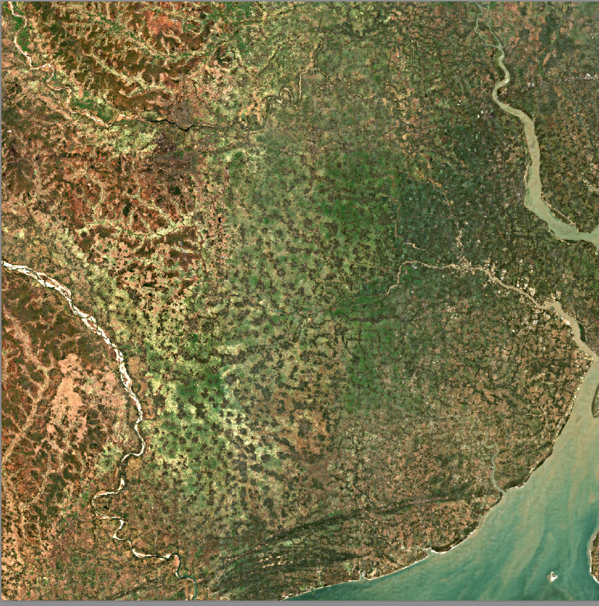
Satellite Data We had many options for databases that provided satellite imagery, but ultimately decided on using the European Space Agency’s Copernicus Open Access Hub because of its useful filters and global access. From their many satellites we chose to focus on Sentinel-2 since it provided radiation data organized in the 12 wavelength bands that we required. For atmospheric correction and normalization of data, some of the images we downloaded had to be run through the Sen2Cor processor.
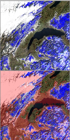
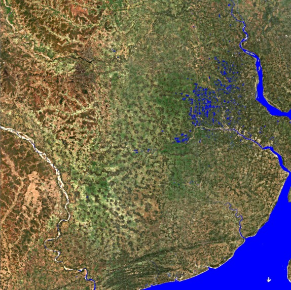
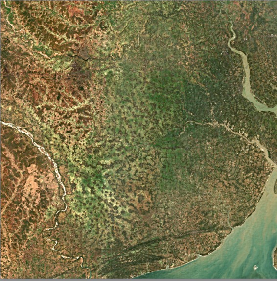
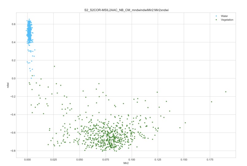
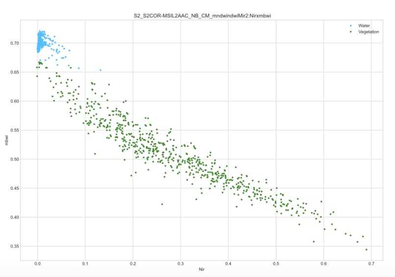
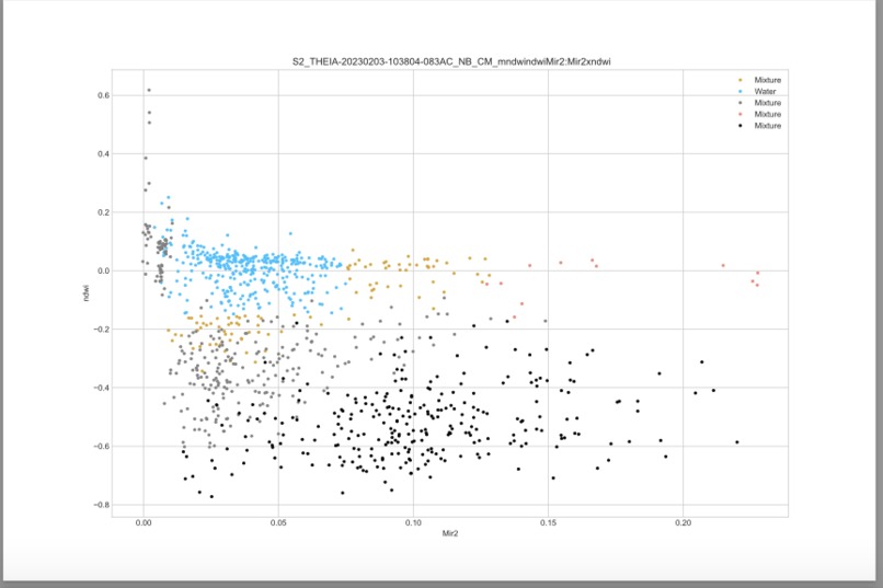
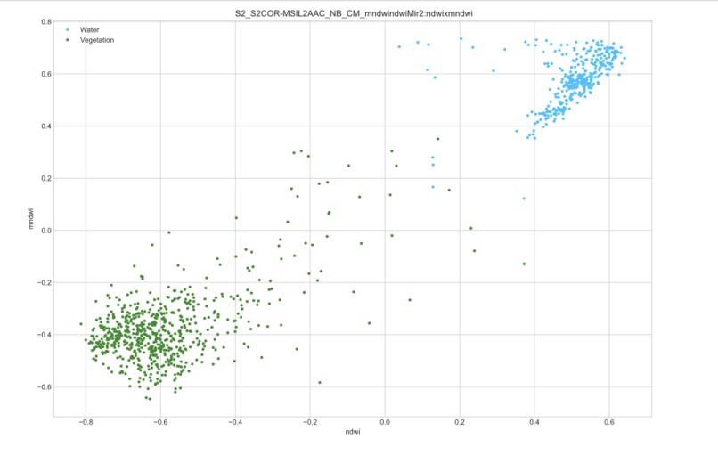
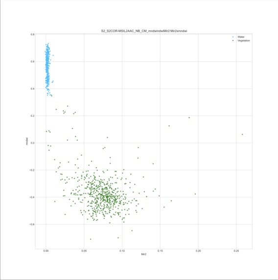
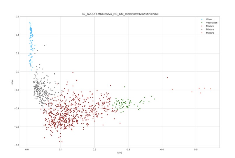
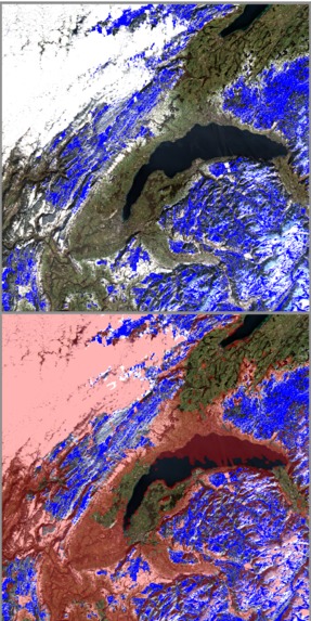
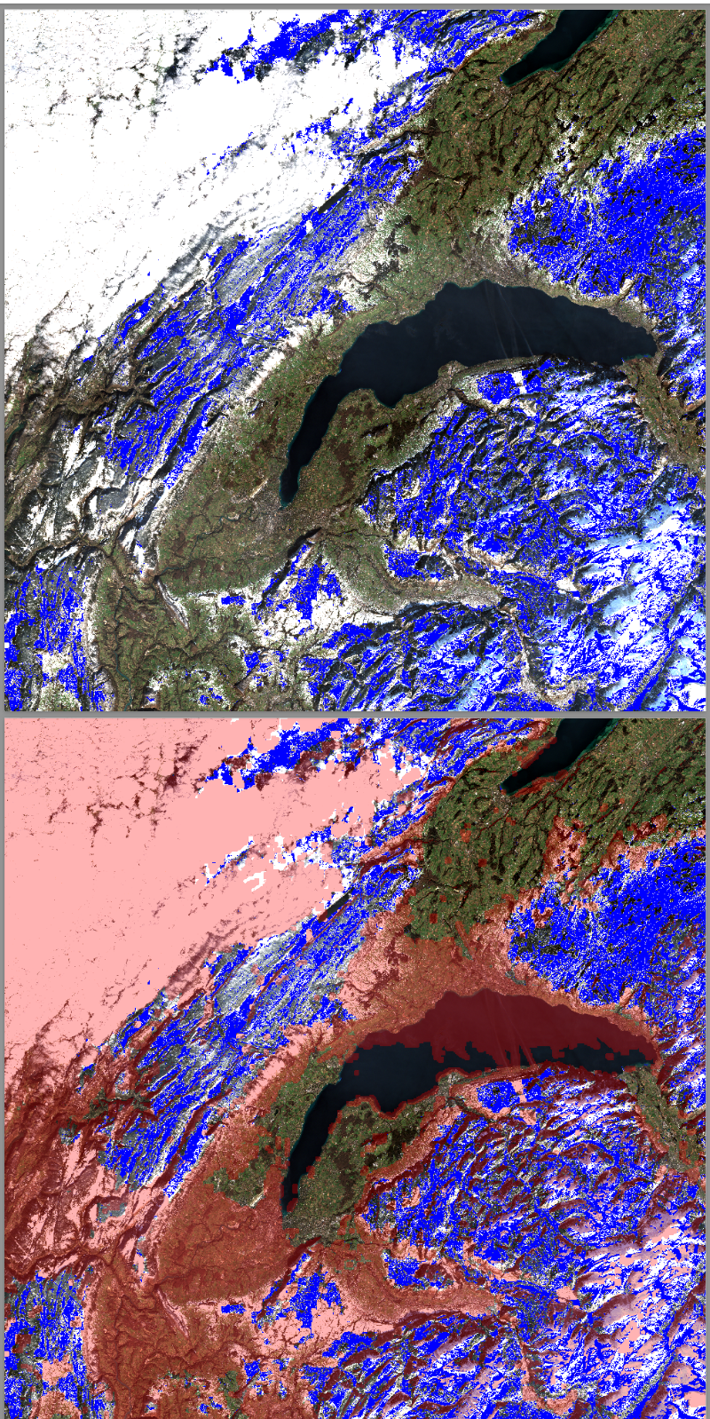
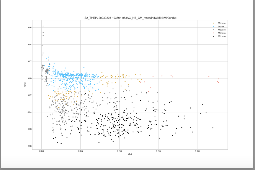
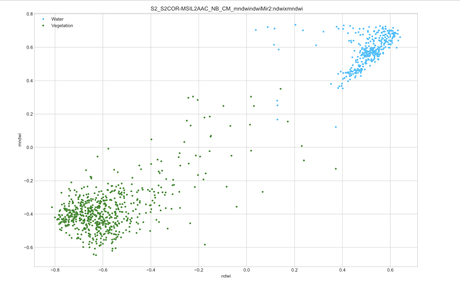
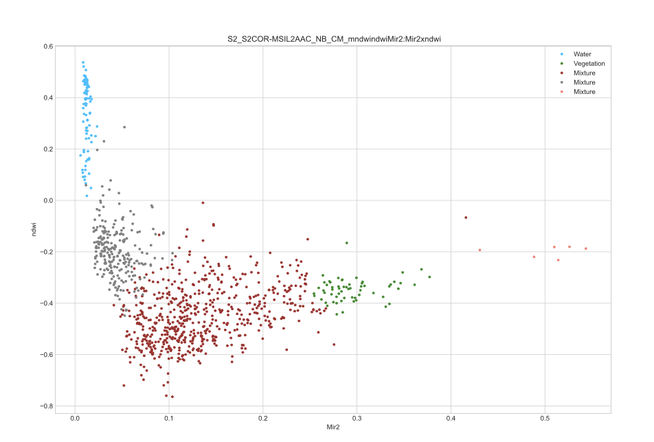
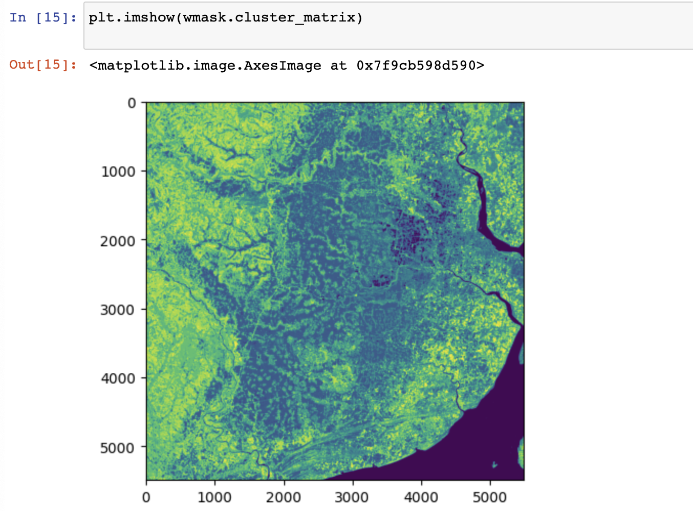
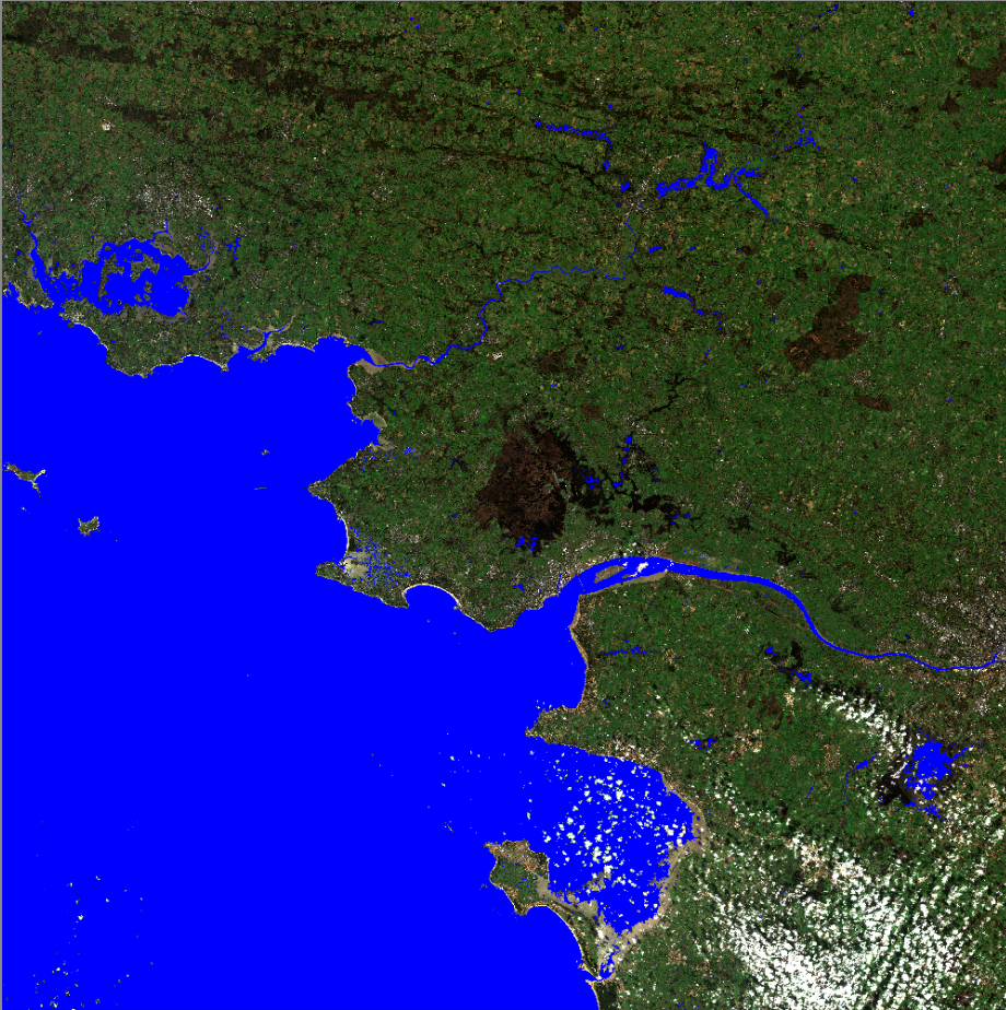
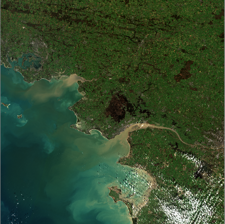
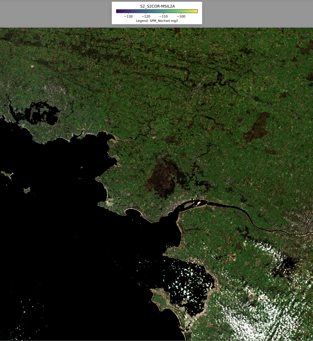
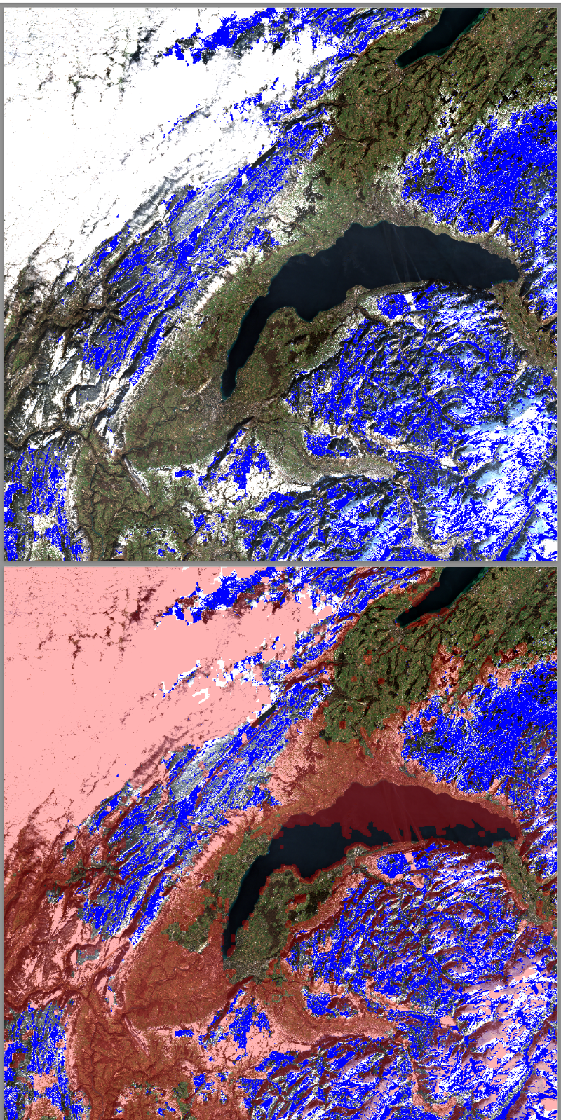
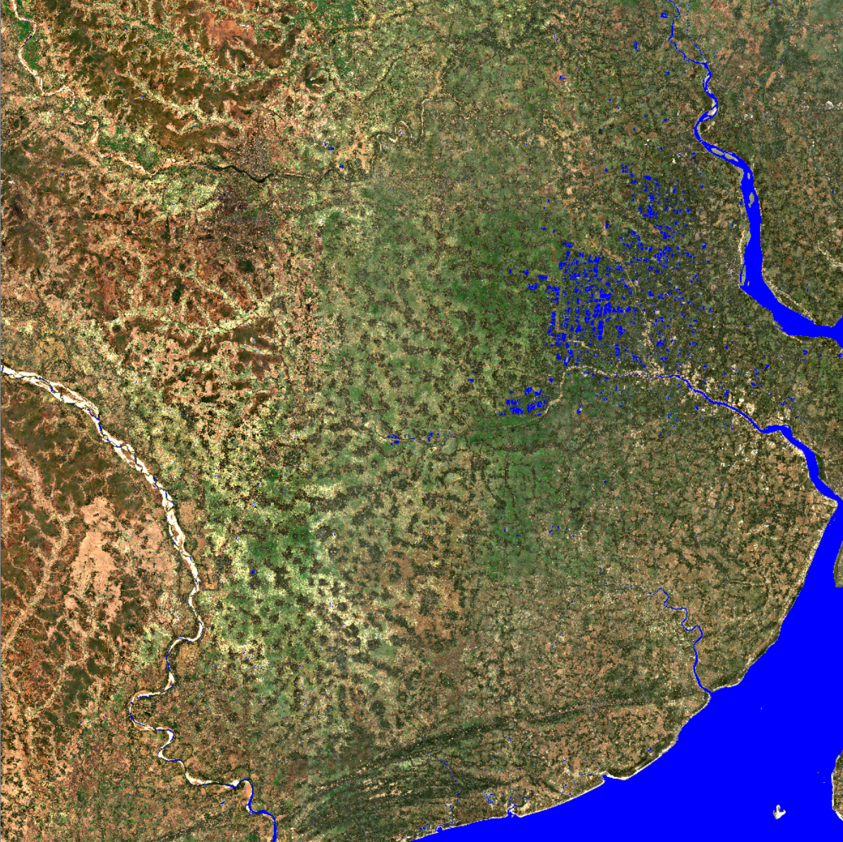
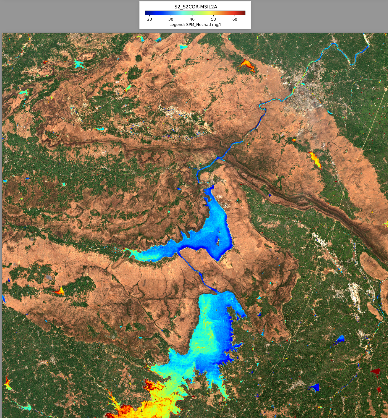
Water Detect Once we became familiar with the data, we started researching possible algorithms and libraries that could help us detect water from satellite images. While there exist deep learning models that serve this purpose, we found more appropriate for a short-term project an unsupervised machine learning model that uses Naive Bayes Classifier. Such a classifier sorts a subset (processing the whole data set would be computationally too expensive) of pixels into clusters from which water could be identified. This is where we encountered our first obstacle: although we could separate different portions and colors of the land into clusters, we could not extrapolate the area covered by water. Fortunately, the library GDAL helped us solve this problem.
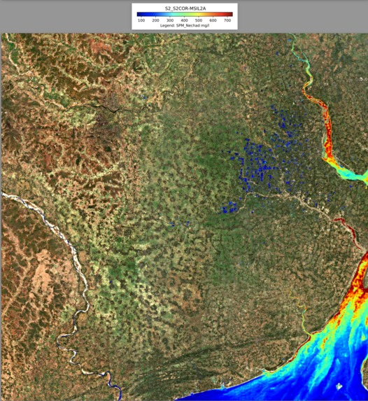
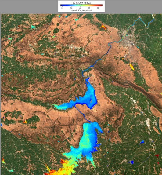
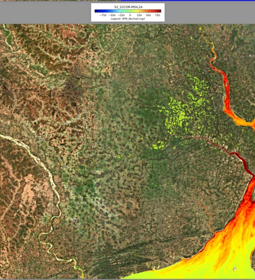
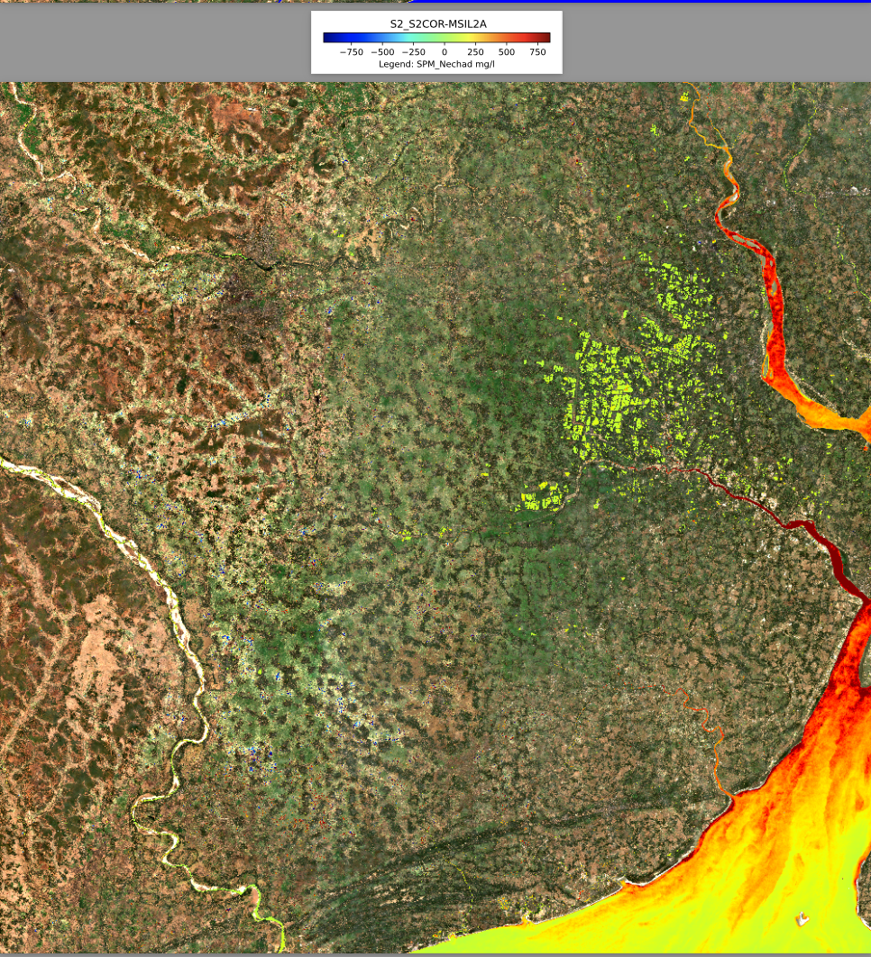
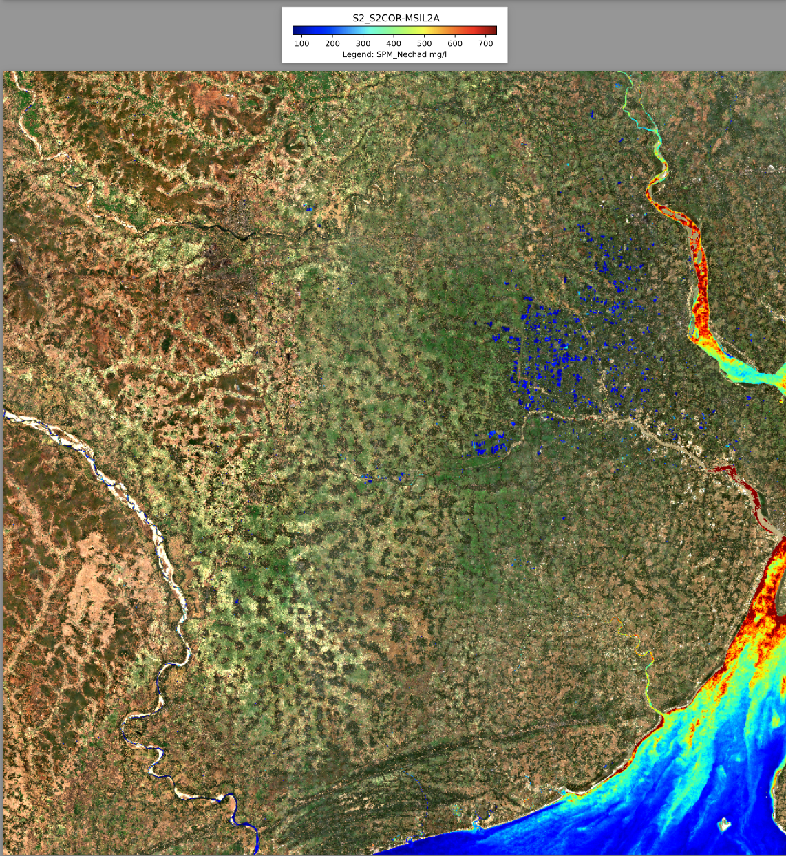
Water Quality Once able to detect water, we had to solve the biggest and core problem: estimating the quality of the water with satellite images. With some research we found some interesting studies (https://doi.org/10.1016/j.rse.2009.11.022) that found a strong and motivated correlation between the turbidity and metallic pollutants in bodies of water with the red band emission.
Implementing this inverse function revealed to be our biggest challenge. Integrating such a formula with the result of the previous step turned out to be a strenuous exercise of debugging. Such effort culminated with shouts of joy at 5:30 am, when we finally arrived at the desired solution. .
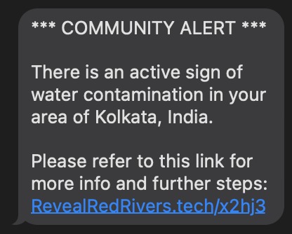
Warning System An essential part of our mission is to elevate our hack from a mere research exercise, to something that has tangible impact into people lives. Luckily Twilio is able to warn people as the levels of water pollution in their areas rises to a dangerous level. In order to create the warning system, we relied on Twilio’s API to send out SMS messages that included a link to our website, RevealRedRivers.Tech. There, we provide graphics to facilitate understanding of the gravity of the contamination as well as advice on how communities might best move forward.
Future Work Throughout our work, we noticed many areas where our project could be expanded upon with more time and resources. The idea of assimilating data from sensors on the earth into our model in order to improve its accuracy was with us since the brainstorming phase. Our inverse function definitely has room for improvement by being honed to the specific conditions and contaminants that are present in different rivers, as well as integrating weather data. As far as our warning system, working with partners in industry or government could significantly boost our impact as well as identifying which areas are most affected by the “red areas” in our model, since those downstream may need to be warned as well.
This experience made us realize how powerful and impactful the tools we have at our disposal are. From a room in the Georgia Tech campus we were able to set the basis to a public health and sustainability project which could foster investments in water purifier plants while protecting the health of the citizens.
We are all proud of what we have been able to accomplish by the time of submission and appreciate the planning and commitment that it must have taken to organize this opportunity for us.


Log in or sign up for Devpost to join the conversation.