-
Example Image Segementation
-
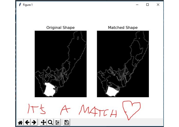
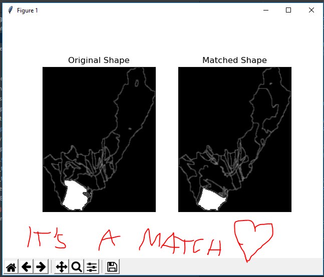
Our first match <3
-

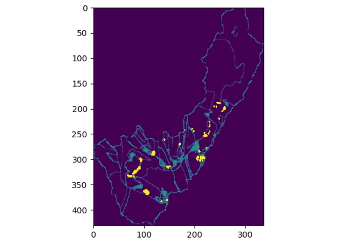
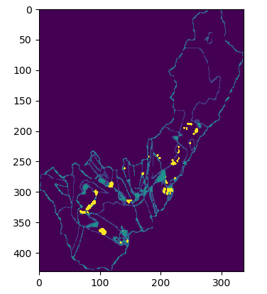
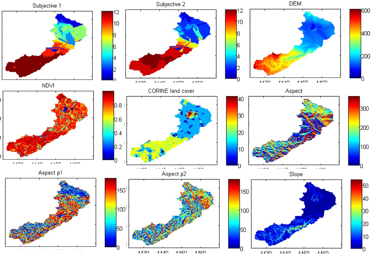
Example of given data
Inspiration
Everyday, geologists have to figure out whether to better trust the machine-generated or human-generated data. In order to make life easier for them, we figured out a way to segmentate images to create a unified image from different single ones.
What it does
We work with different data science approaches to figure out which parts of individual images can be merged to create one omniscient image.
How we built it
Together, we combined data science and theoretical concepts and approaches to give suggestions how to merge all the connected images.
Challenges we ran into
The usual stuff while operating with data-centric analysis, e.g. requirement analysis, understanding/cleaning and preprocessing the data and working with computer vision libraries.
Accomplishments that we're proud of
We came up with a couple of different methods and algorithms, running in almost real-time, scalable for a huge dataset. Additionally, we implemented a web-server running an application offering an interface for the user to interact and visualize the different images.
What we learned
Always stay calm while handling data science and machine learning systems (btw openCV does real magic ;) ).
What's next for Image Segmentation of Geodata
We might be part of a scientific research paper following up our work during the hackathon.


Log in or sign up for Devpost to join the conversation.