-
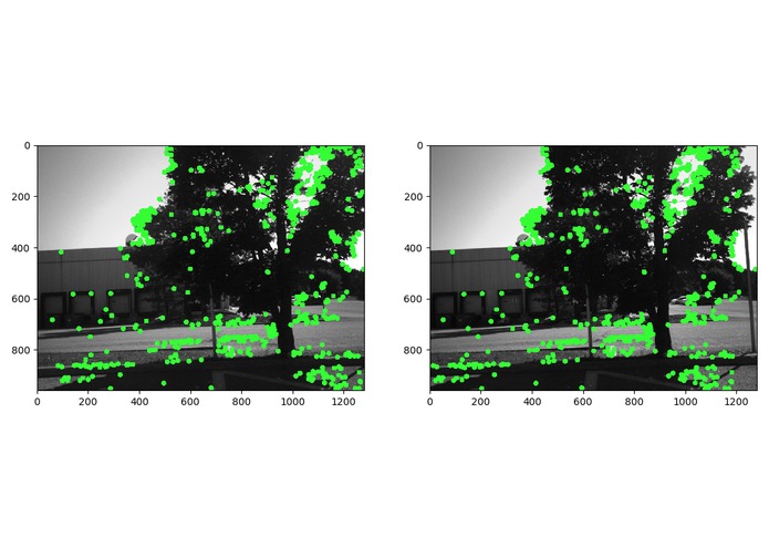
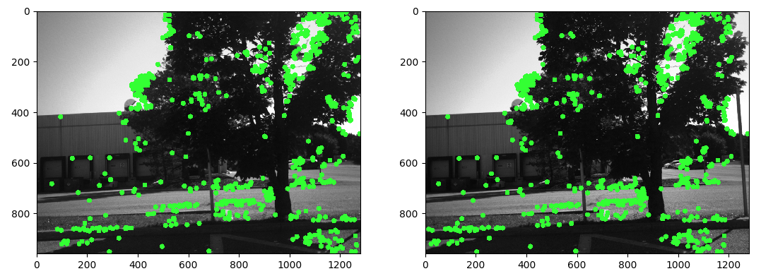
Using Opencv obstacles are identified from stereo camera feed.
Inspiration
From real-life problems faced in places where human intervention is minimal and there is no GPS to navigate drones.
What it does
Drone connects with the Pre-defined wireless network and Navigate with obstacles avoidance.
How I built it
We used openCV to avoid obstacles. And using wifi RSSI and angle of arrival it finds its routes.
Challenges I ran into
Obstacle identification and finding perfect route.
Accomplishments that I'm proud of
It avoids obstacles.
What I learned
It was a completely new experience for me.
What's next for iCreate WPS - Drone Navigation
Make complete ML-based solution.


Log in or sign up for Devpost to join the conversation.