-
The Community Tracker Interactive Map
Inspiration
In today’s fast-paced world, staying informed about local events can be challenging. Most people rely on news outlets or social media, which often lack context—especially around specific locations and proximities—and rarely allow for community input. Our project aims to change that by creating a live, interactive map of local events. This platform empowers community members to contribute and access real-time updates, making local information more transparent, accessible, and collaborative.
What it does
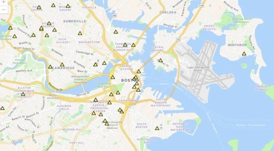
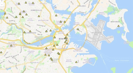
Our website contains an interactive map with live updates of activities. Users can submit forms to report activities of interest. These forms are stored in mongoDB and used by the map to plot activity based on longitude and latitude. In addition, our website contains a page with statistics on recent activities.
How we built it
We created the website and a form through next.js. Then, we created the live map using through ArcGIS Javascript SDK and used mongoDB to store information submitted through the form. We implemented geocoding to verify addresses and get the longitude and latitude of the map. Throughout the development process, we tested our project on a vercel server.
Challenges we ran into
None of us have ever worked with next.js, so there was a learning curve. ArcGIS was also unfamiliar to us. Because of this, it took hours to get the map working. We ran into issues when we had the program attempting to create the map before the points from reports were initialized, but we solved this by changing the structure of the map rendering process.
Another issue we ran into was the lack of data. Currently, there is only a small data set to work with, so we needed to create synthetic data for more proof-of-concept. However, generating synthetic data was not easy. We had to find a way to generate real addresses and then fetch their longitude and latitude.
Accomplishments that we're proud of
We are extremely proud of our map with live updates due to the difficulty of wrangling the data and getting ArcGIS to work.
What we learned
We learned how to use next.js, ArcGIS, and mongoDB. We also learned how to generate random addresses and find their latitude and longitude using Google Maps API.
What's next for our project
We would aim to incorporate an LLM to summarize news regarding relevant events
Built With
- cloudflare
- esri
- geocode
- google-maps
- mongodb
- next.js


Log in or sign up for Devpost to join the conversation.