-
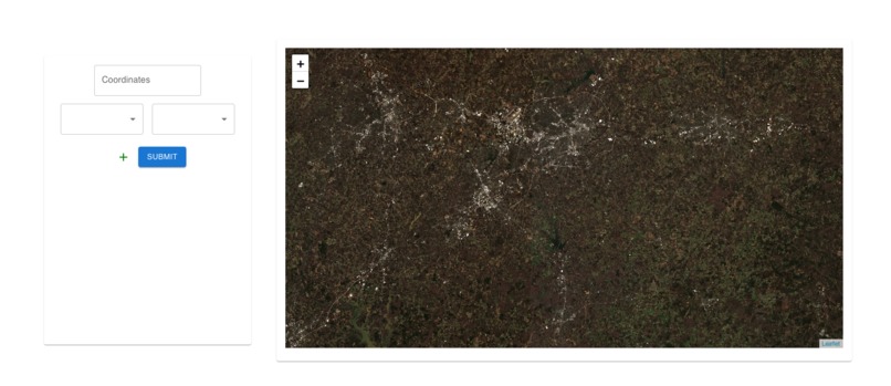
Lean Launch Page!
-
Upload Source Data!
-
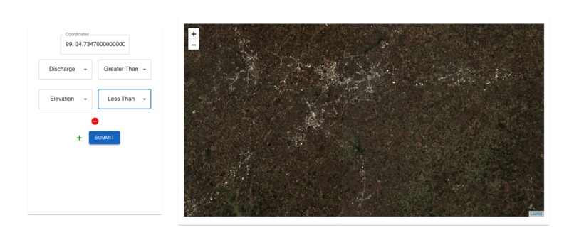
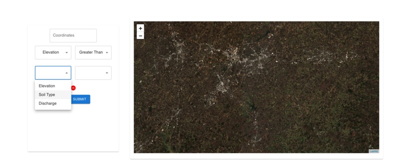
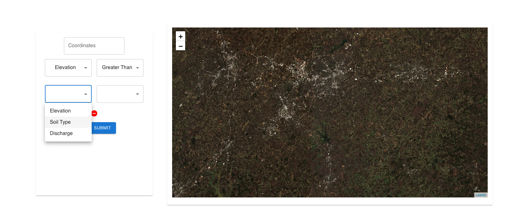
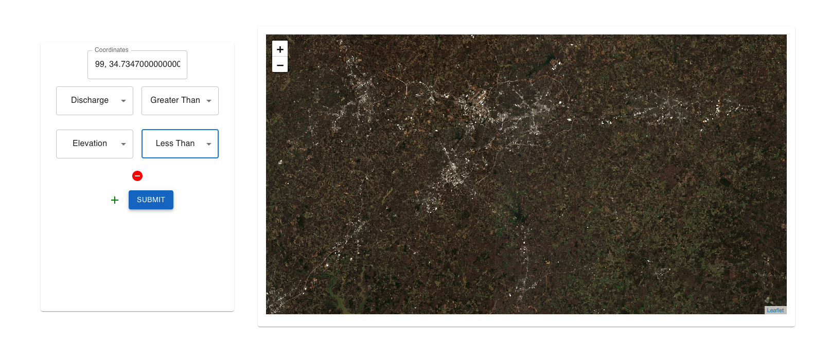
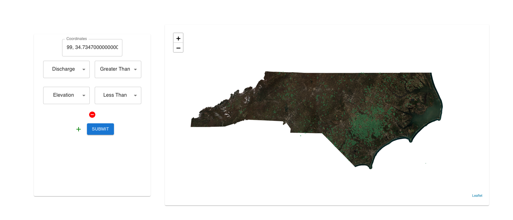
Create Own Rules!
-

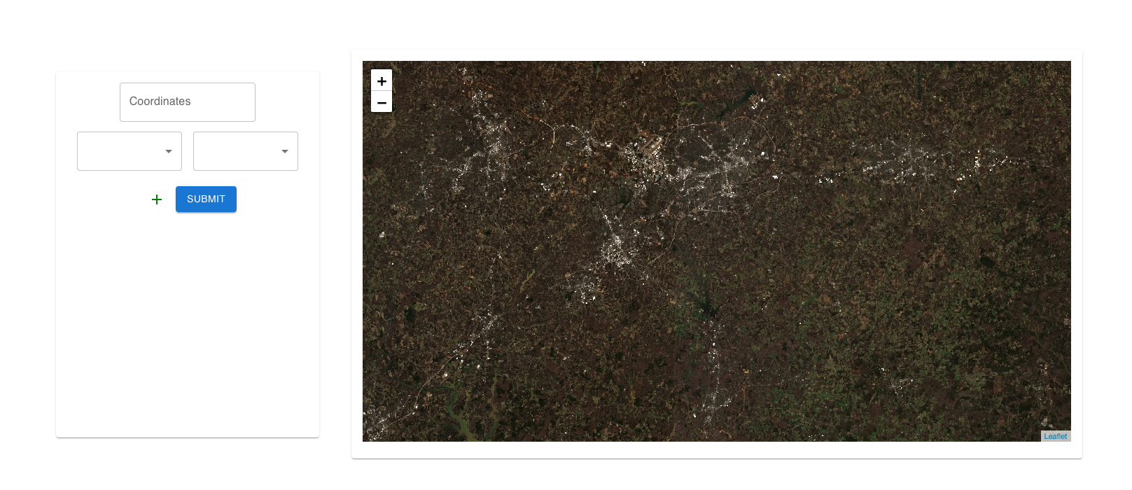
Simulate Spread!
DEMO: https://www.loom.com/share/713eb00978044746ae6f91bb774a23ed
Inspiration
Eastern North Carolina has about 4,000 pink-hued pools of pig feces, urine, and blood as a result of the hog industry, where 9m pigs produce over 10bn gallons of waste annually in the state.
Often, these lagoons are kept at the brim, being very difficult to dispose of. As you can imagine, this can become particularly dangerous during flooding, when the wastewater overflows into the rest of the watershed, and with the waste comes disease. Many questions arise including:
1) How do we track cascading disasters from hog waste overflow? Can we simulate the repercussions? 2) How do we optimize where we place hog waste storage sites? 3) How do we keep Hog Farmers accountable? 4) There are not many alternatives for farmers to place waste? It’s not as easy as just getting rid of waste lagoons? As such, what are some mitigations we could take? 5) Which lagoons should we target first for clean-up efforts/energy harvesting?
What it does
I’m working on a tool that makes it easy to create custom water flow simulations, starting from any XYZ area. Currently, we have:
1) Ability to upload any dataset of source bounding boxes 2) The ability for users to encode basic rules for spread from Cell X to Cell Y 3) One button deployment of custom flood monitoring services, ensuring that farmers can cover all bases. 4) Visualization of spread mechanics.
What do we hope to build? 1) Make "rule building" and "dataset adding" more flexible 2) An easy tool for regulators to quickly go through paperwork, and monitor hog farm “water performance” without watching the farm 24/7
How do we build it?
React JS and Leaflet.JS for the Front-End/Visualizations. Flask as the REST service. GCP to run the simulations and store GeoTiffs.
Challenges we ran into
I went a bit broad with limited time. There were a lot of features I wanted to build, and hence, at times, lost sight of the end-user. Plan to scope down the solution, and speak directly with both water sanitation officials and hog farm owners. Also, my teammates dropped out with illnesses, so I went solo on this one.
Accomplishments that we're proud of
Building a fast simulation platform that is flexible to dataset and input rules.
What we learned
1) Geospatial Visualization Skills 2) A ton about the hog farm industry.
What's next for HogFlow
Building out features is not the hard part for this. I plan to scope down my solution by getting an insider look into the industry.
I like to point out that the tool developed can work on any geospatial spread process. We make it easy for researchers. regulators, and users to spin up high-memory cell to cell simulations. HogFlow can branch out far beyond Hog Farms.

Log in or sign up for Devpost to join the conversation.