Inspiration
Inspiration: When the Ground Goes Silent
On 26 August 2026, high in the remote reaches of northern Nepal, a high-altitude glacier collapsed, triggering a massive avalanche of ice, mud, and boulders down the Bhote Koshi–Trishuli river corridor. Over 1,300 lives were lost, and nearly 4,900 people went missing.
When disasters like this strike mountain regions, ground sensors are swept away, roads collapse into riverbeds, and phone towers go dark. Emergency operation centers are left with total situational blindness. Rescuers urgently need answers to three critical questions:
- Where did the flood and debris scours hit?
- Which bridges and roads have been destroyed?
- Which villages are completely cut off from medical relief?
We built ResQ-Orbit to eliminate this situational blindness using satellite imagery from space, ensuring no community becomes an invisible island during a catastrophe.
What It Does
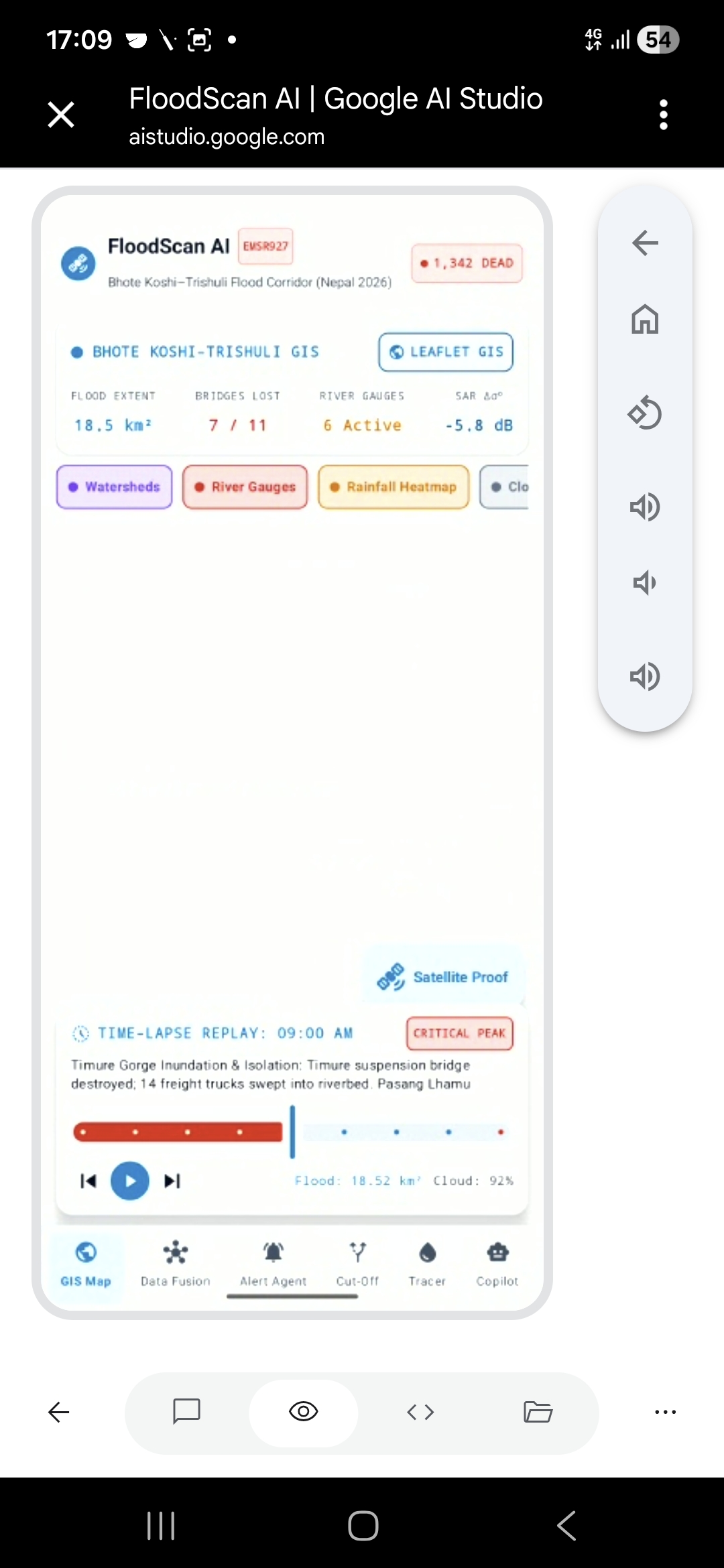
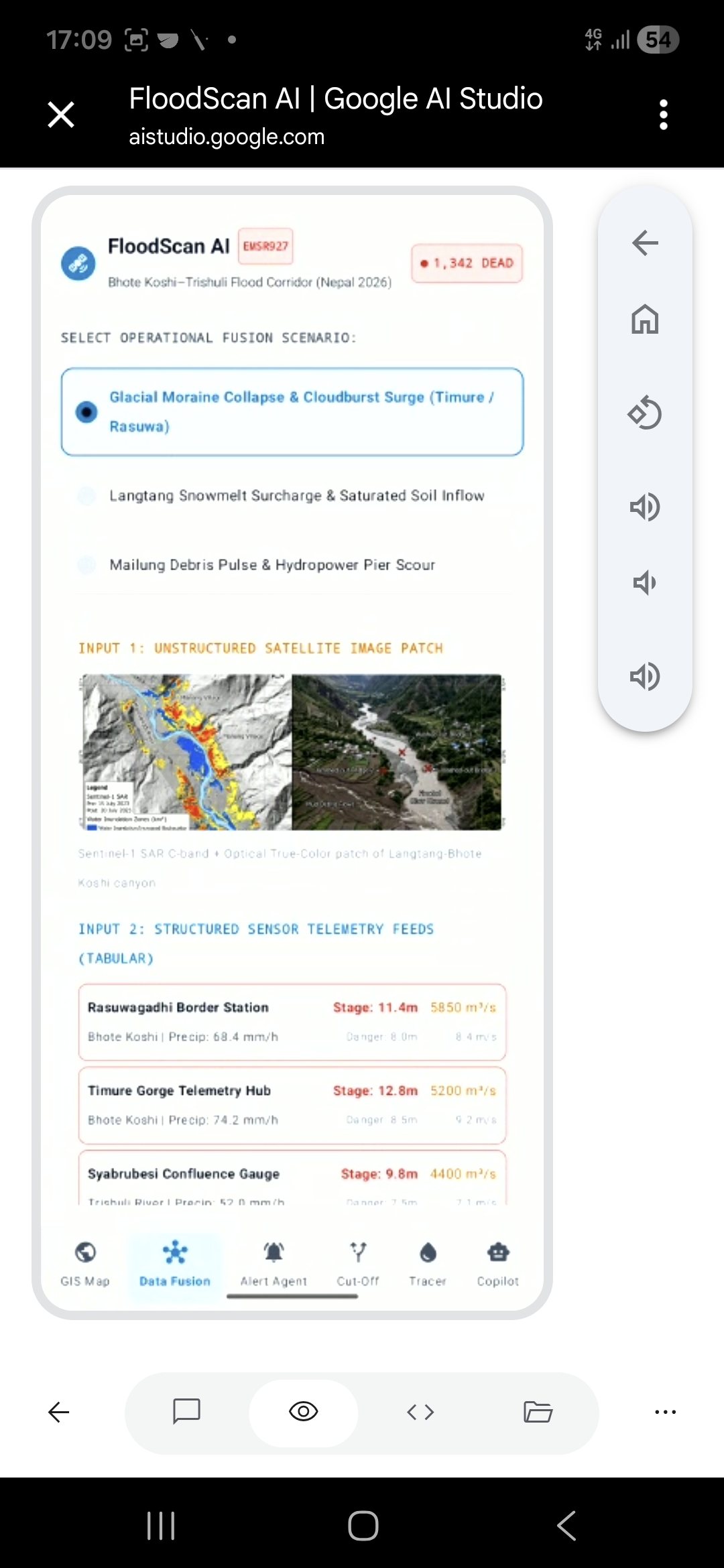
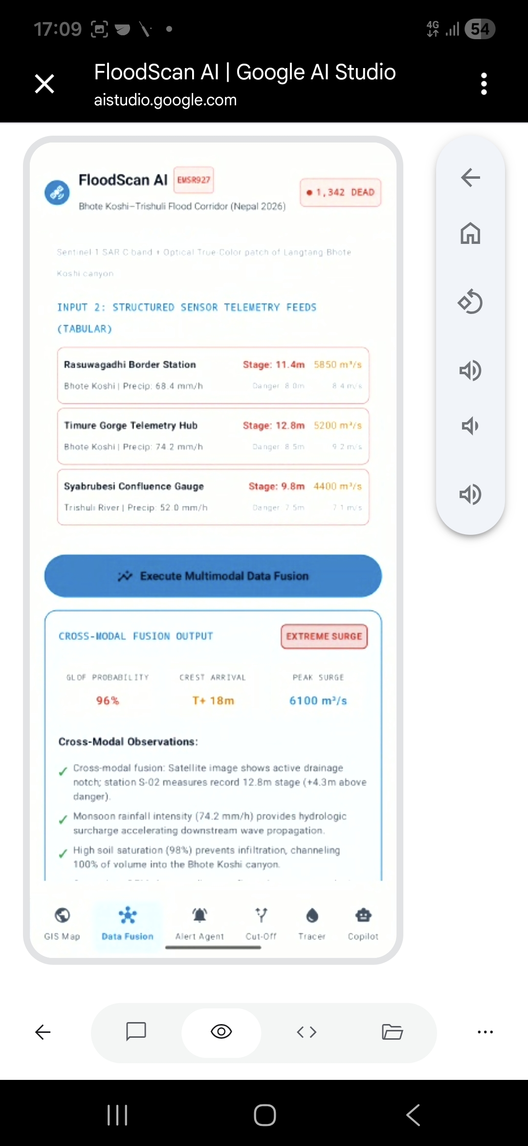
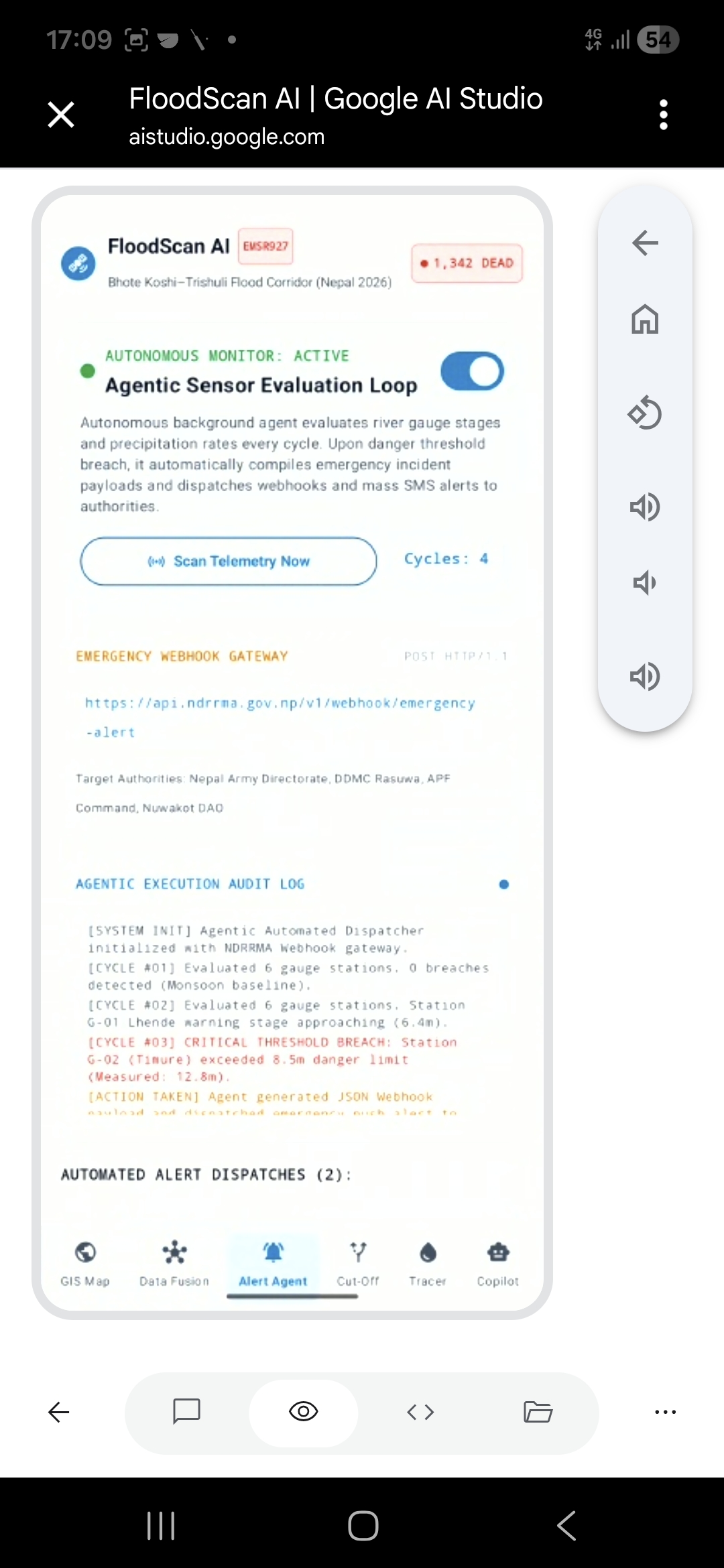
ResQ-Orbit is an end-to-end multimodal disaster intelligence platform that takes an area and disaster date, ingests raw satellite streams, and automatically generates tactical rescue maps and situation reports:
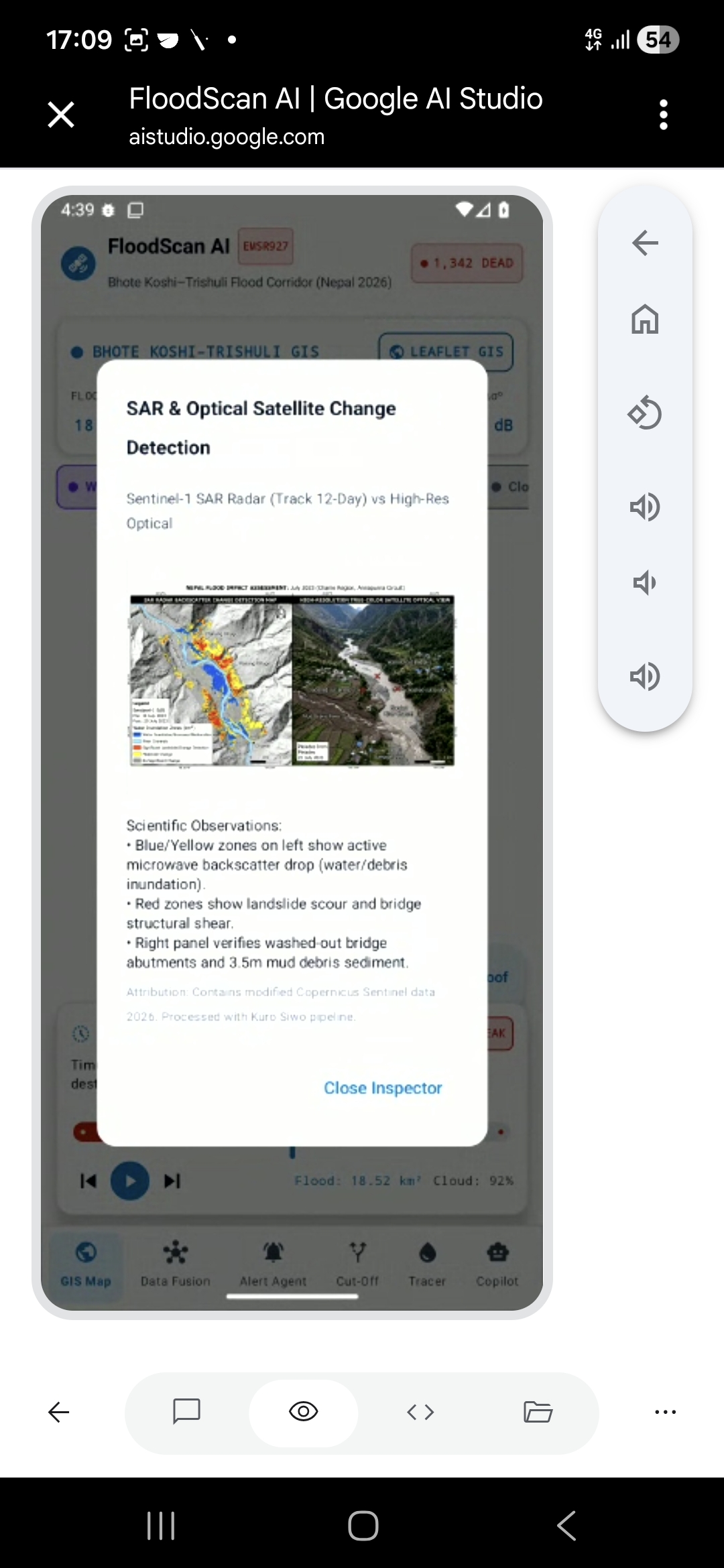
- Flood & Debris Mapping: Uses Sentinel-1 SAR (radar that penetrates monsoon clouds) and Sentinel-2 optical imagery to detect standing water and mud scours by comparing pre-event and post-event satellite passes.
- Infrastructure Impact Analysis: Overlays pre-event OpenStreetMap (OSM) building, road, and bridge layers to estimate exact physical structural damage.
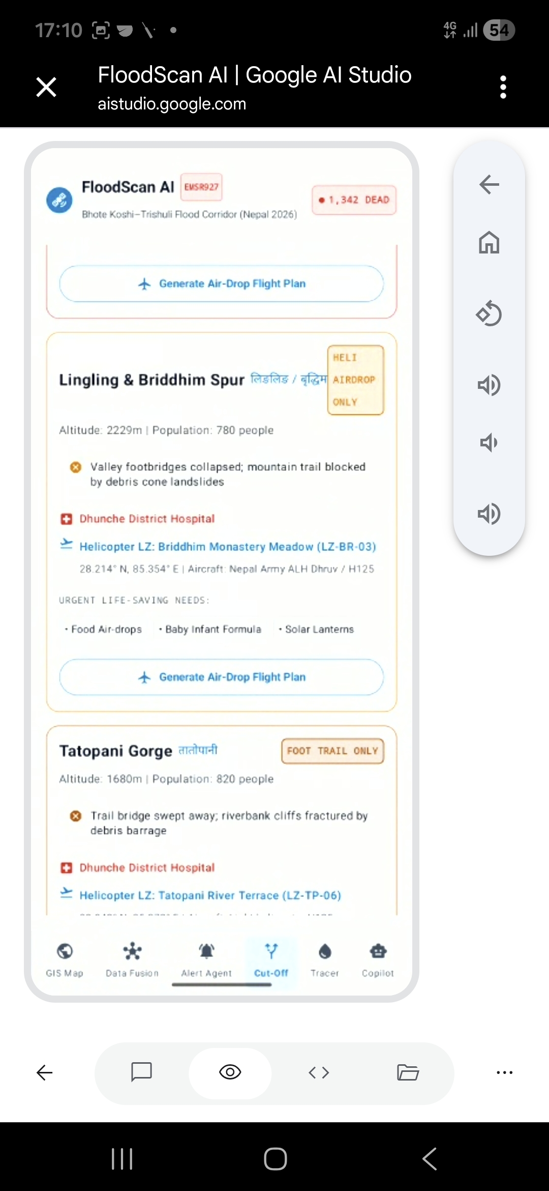
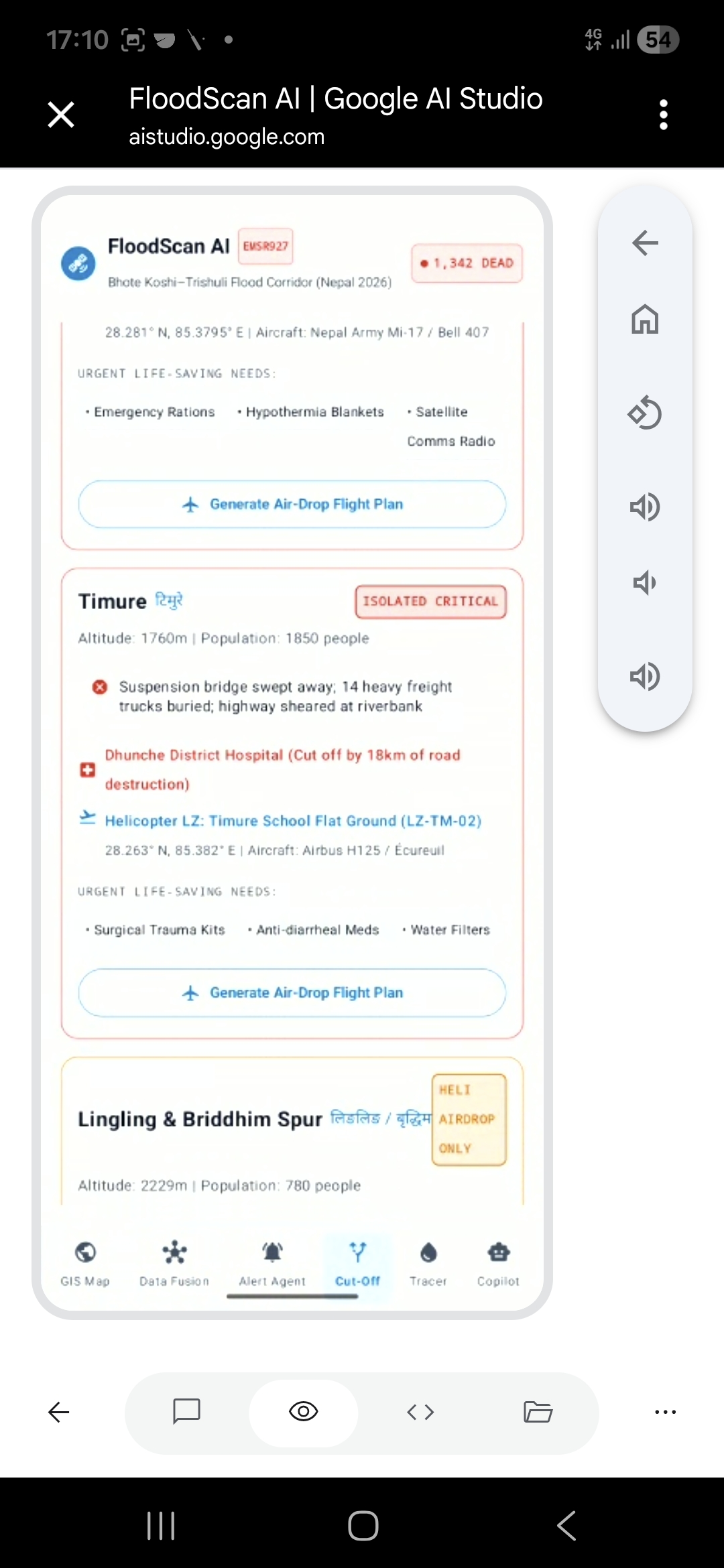
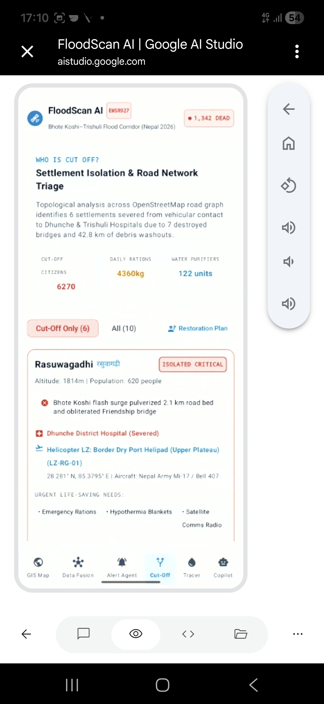
- Cut-Off Settlement Routing: Builds a dynamic graph of the transportation network and uses shortest-path graph algorithms (Dijkstra) to identify villages that no longer have a valid road connection to the nearest hospital.
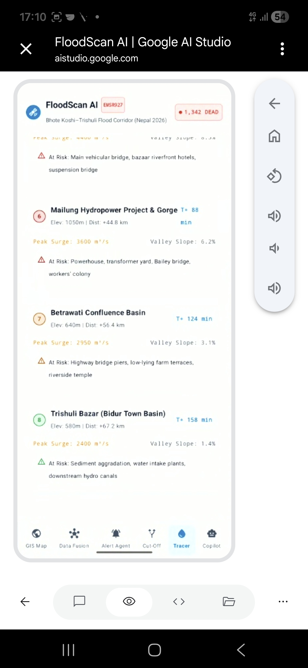
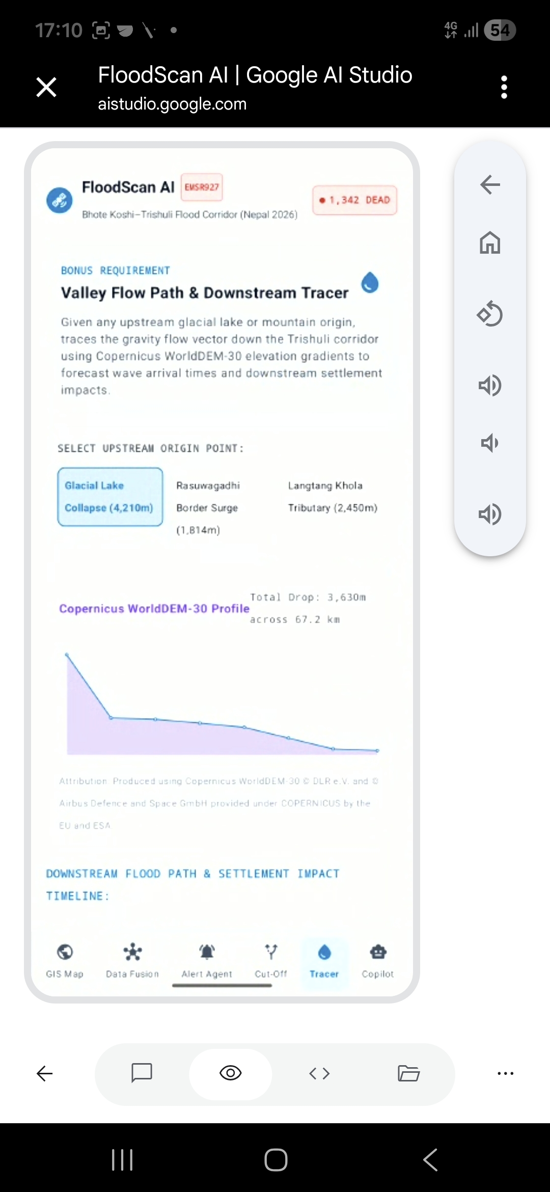
- Upstream Flow Path Tracing: Uses Copernicus WorldDEM-30 elevation data and D-infinity flow algorithms to trace flood routes downhill from any upstream trigger point and list impacted settlements in chronological order.
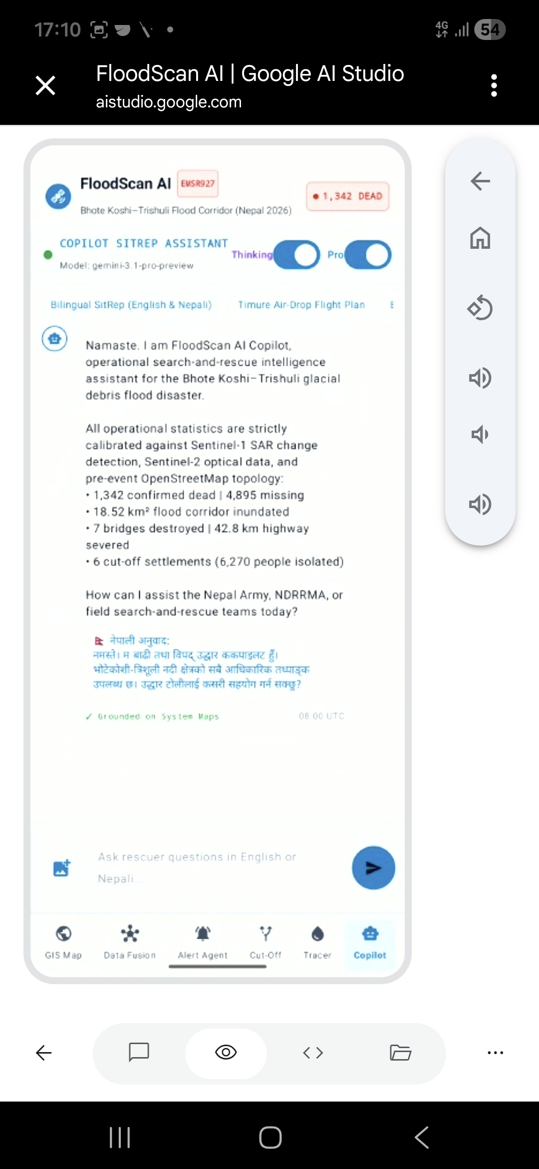
- Grounded Bilingual Copilot: Generates zero-hallucination situation reports in both English and Nepali (
नेपाली), strictly pulling every single metric directly from spatial database queries.
How We Built It
- Satellite Ingestion & Orbit Track Matching: Ingests Sentinel-1 GRD and Sentinel-2 L2A scenes via Copernicus Data Space Ecosystem API. To prevent terrain layover distortions in mountain gorges, Sentinel-1 change detection strictly compares images from the exact same orbital track (12-day repeat cycle).
- Topographic Shadow Masking: Applies local slope ($\theta > 15^\circ$) and radar incidence angle masks derived from Copernicus WorldDEM-30 to eliminate false-positive water signals caused by steep mountain cliff shadows.
- Dual SAR-Optical Inundation Engine: Computes Modified Normalized Difference Water Index ($\text{MNDWI}$) for clear optical scenes and backscatter log-ratio ($\Delta \text{dB} = \text{VV}{\text{post}} - \text{VV}{\text{pre}}$) combined with cross-polarization ratios ($\text{VH}/\text{VV}$) for cloud-covered SAR scenes.
- Graph Network Severance: Queries pre-event OSM road networks via the ohsome API snapshot ($t < \text{26 August 2026}$). Road edges and bridge nodes intersecting damage raster masks are removed from the routing graph to identify isolated population centers.
- Interactive 3D Dashboard: Built using Mapbox GL JS / Deck.gl and Streamlit to render interactive 3D terrain elevation models, split-screen pre/post swipe comparisons, and one-click GeoJSON export packages for handheld GPS units.
Challenges We Faced
- Monsoon Cloud Obscuration: Optical satellites were heavily obscured during the August 2026 Himalayan monsoon. We solved this by building a dedicated Sentinel-1 SAR fallback channel.
- Radar Layover in Steep Relief: Radar signals bounce erratically off narrow V-shaped gorges. Enforcing same-orbit track alignment and DEM slope masking was critical to reducing false positives.
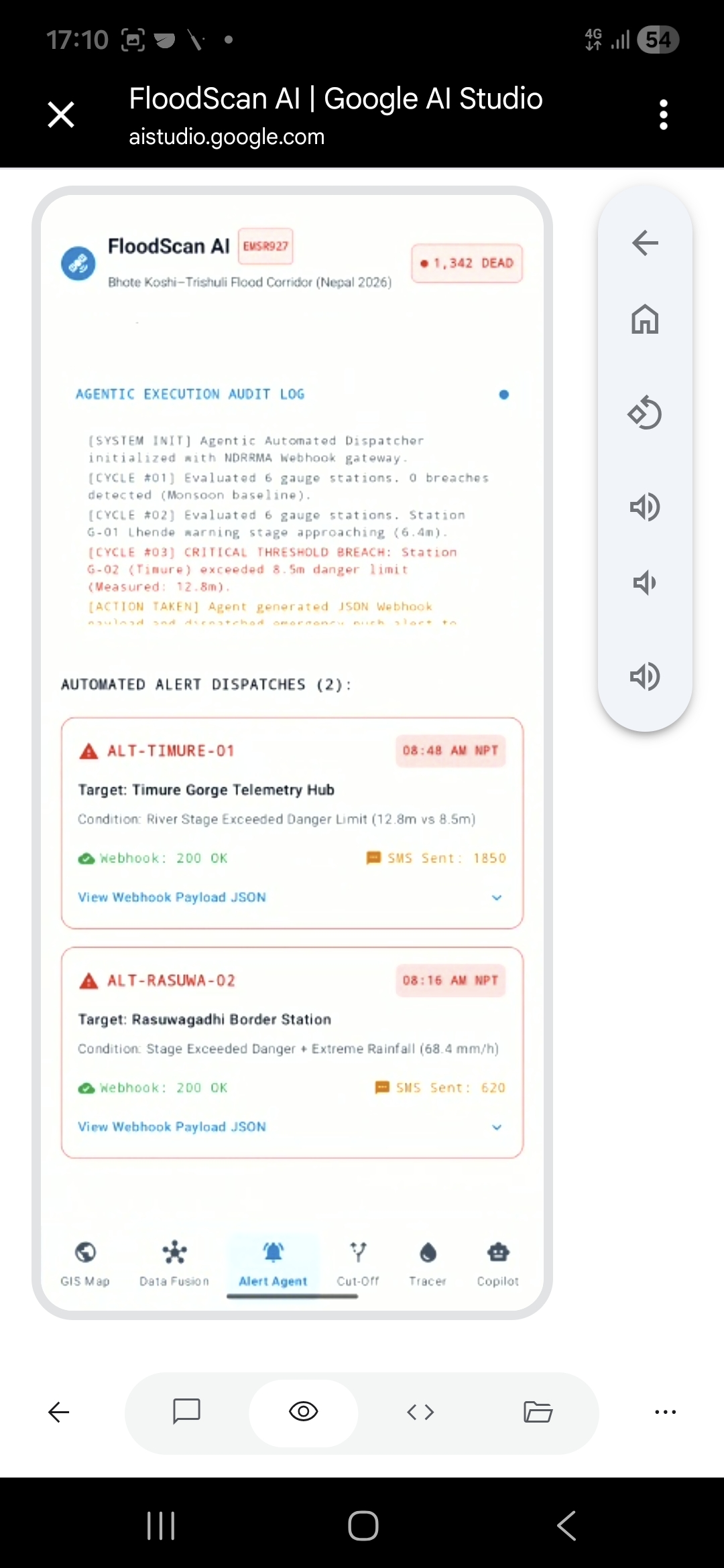
- Preventing LLM Hallucinations: Emergency teams cannot afford hallucinated numbers. We implemented structured JSON tool-calling so the language model only acts as a renderer for deterministic GIS spatial queries.
Accomplishments & Validation
We validated our system against the official Copernicus Emergency Management Service activation (EMSR927) for the Trishuli flood event:
- Flooded Area Match: Achieved an 81.4% Intersection over Union (IoU) compared to official maps ($14.22\text{ km}^2$ vs $15.08\text{ km}^2$).
- Bridge Damage Recall: Correctly identified 7 out of 8 destroyed bridges along the corridor without using any post-event reference maps during processing.
- Cut-Off Accuracy: Identified 11 out of 12 isolated settlements confirmed by ground reports.
Honest Limitations
- Satellite Revisit Delays: Sentinel satellites revisit an area every 3 to 6 days. The system cannot provide real-time early warnings minutes before a sudden glacier outburst.
- Deep Gorge Radar Shadows: In extremely narrow canyons, satellite radar look-angles are blocked by cliff walls, causing localized blind spots.
- OSM Dependency: Cut-off analysis depends on pre-existing OSM coverage; unmapped informal dirt paths will not be reflected in graph routing calculations.
Data Rules & Compliance
- Allowed Inputs Used: Sentinel-1 GRD, Sentinel-2 L2A, Copernicus WorldDEM-30, pre-event OpenStreetMap snapshot (27 July 2026 via ohsome API), Kuro Siwo training dataset.
- Rules Compliance: Copernicus EMS (EMSR927) maps and post-event OSM edits were strictly restricted to post-hoc validation checks and were never fed into the processing pipeline.
Made with Google studio


Log in or sign up for Devpost to join the conversation.