-
-
1
-
2
-
3
-

4
-
5
-
6
-
7
-
8
-
9
-
10
-

11
-
12
-
13
-
14
-
15
Inspiration
Sri Lanka is home to beautiful mountains, forests, waterfalls, and hiking trails, but finding reliable information about routes, weather, safety risks, and camping permissions can be challenging. We were inspired to create Hike-Safe, a smart hiking assistant that brings essential hiking information and safety tools together in one application. Our goal is to help hikers explore nature more confidently, make informed decisions, and prepare better for outdoor adventures.
What it does
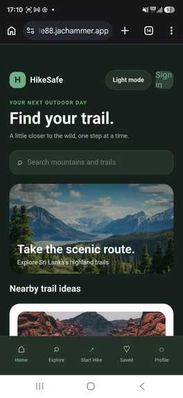
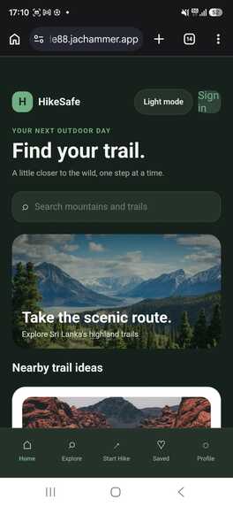
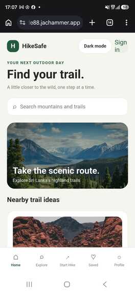
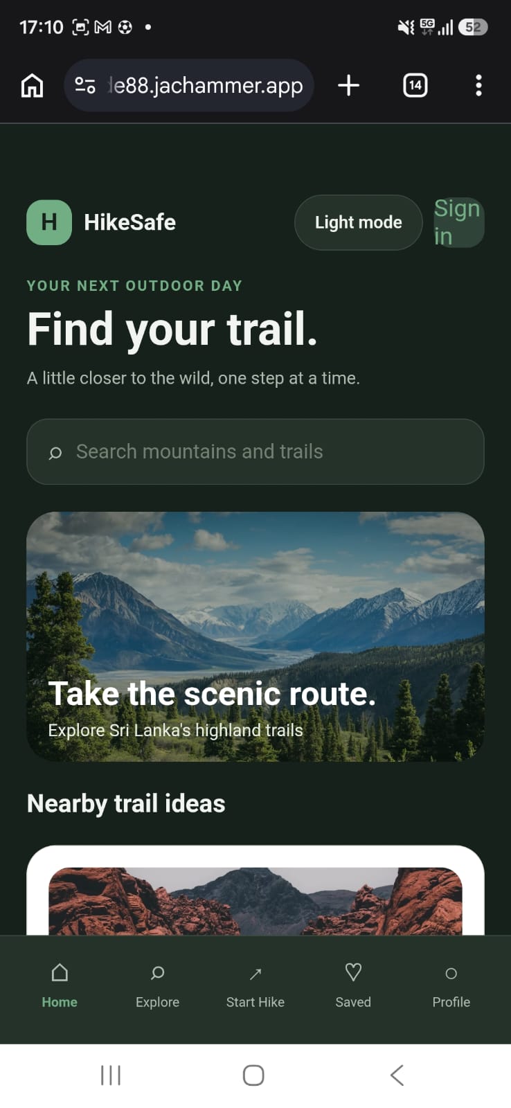
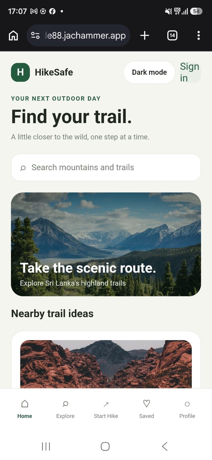
Hike-Safe is designed to be an all-in-one hiking companion, initially focused on Sri Lanka. Its planned and developing features include:
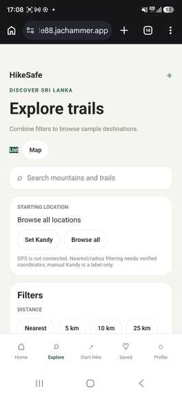
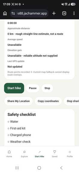
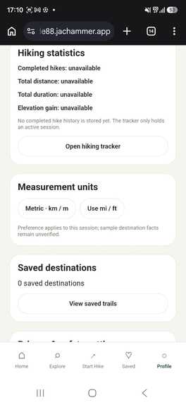
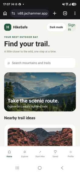
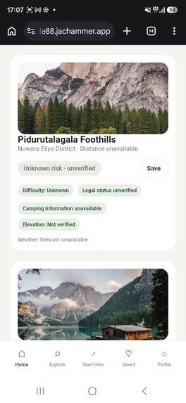
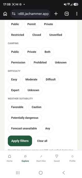
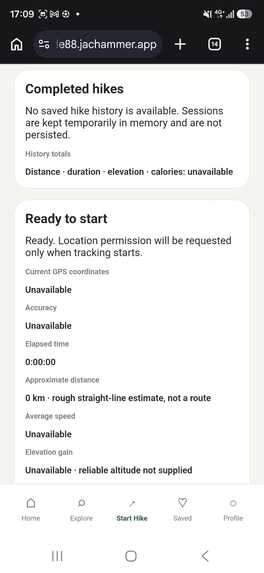
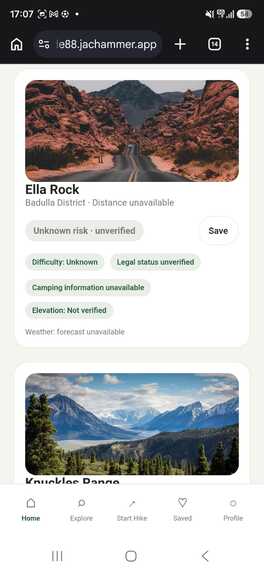
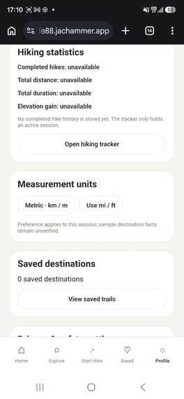
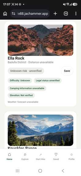
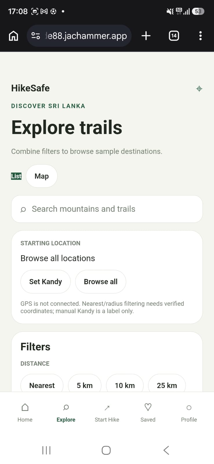
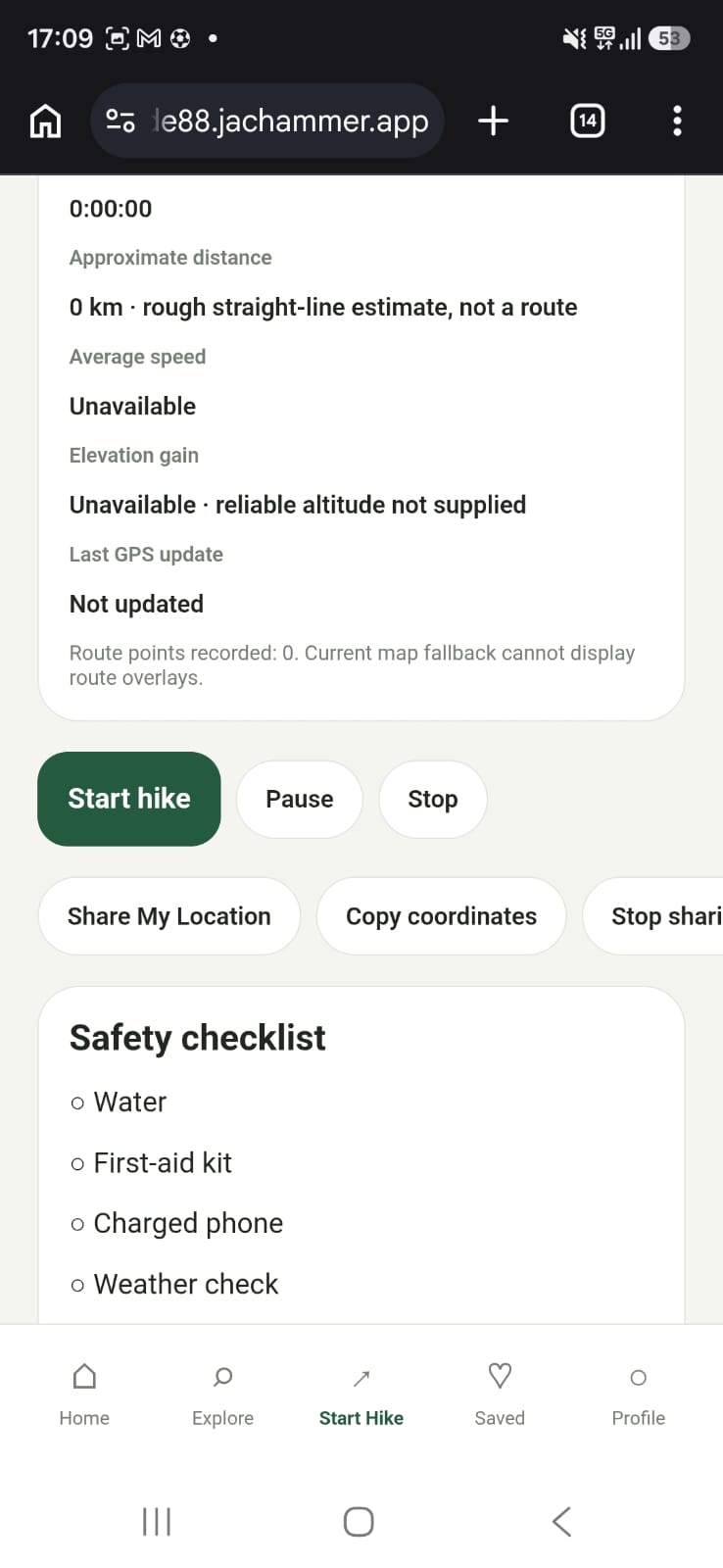
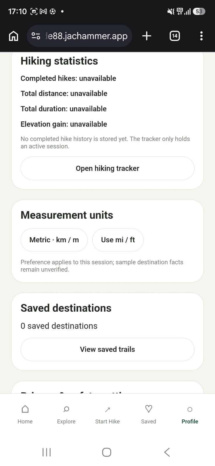
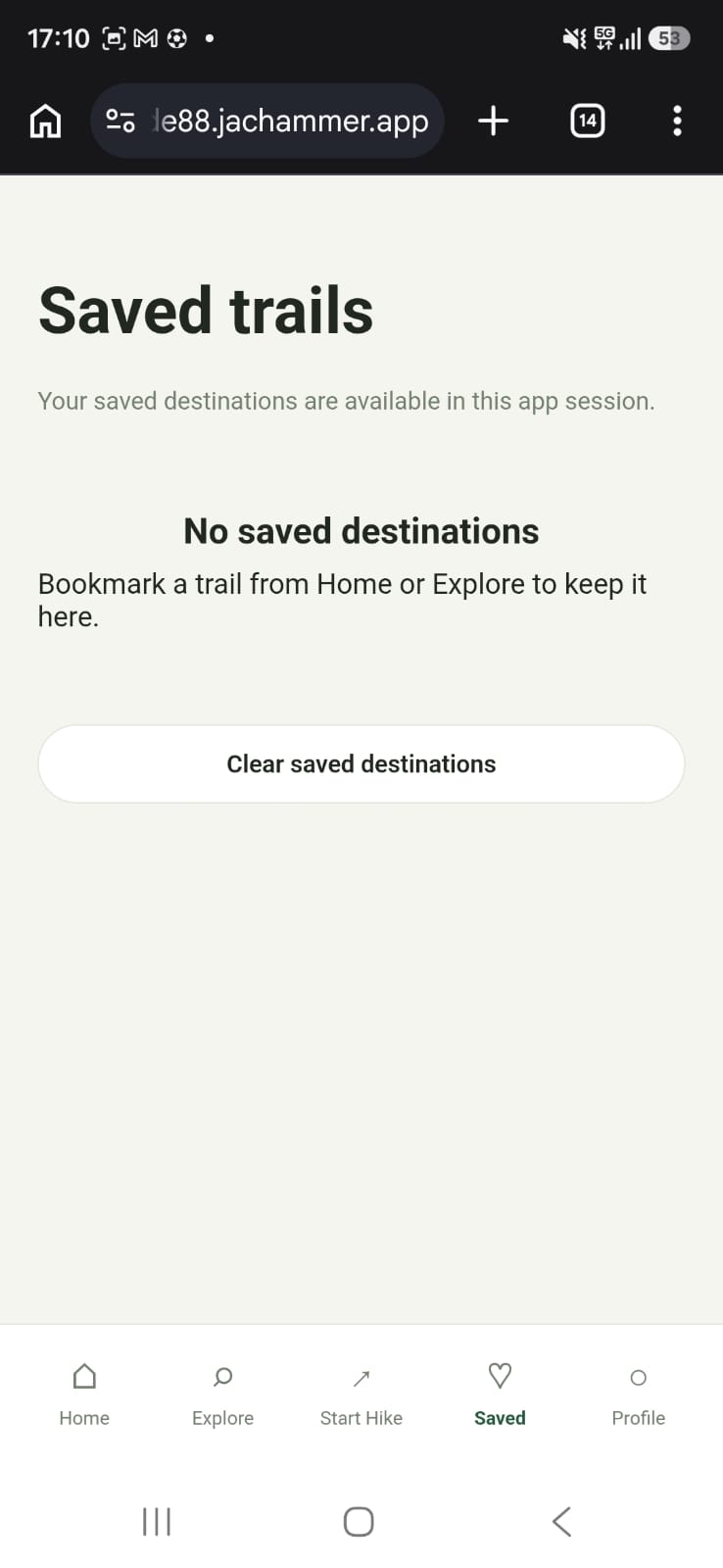
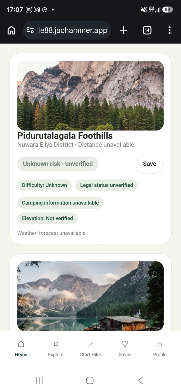
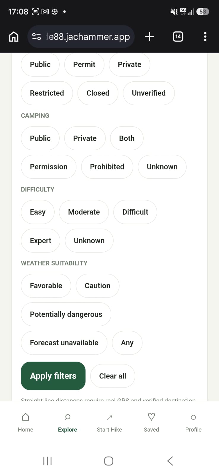
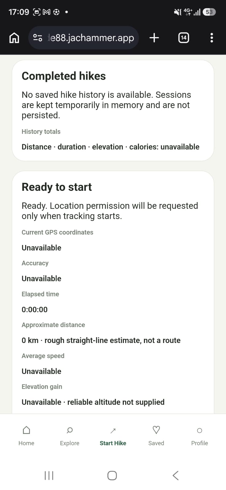
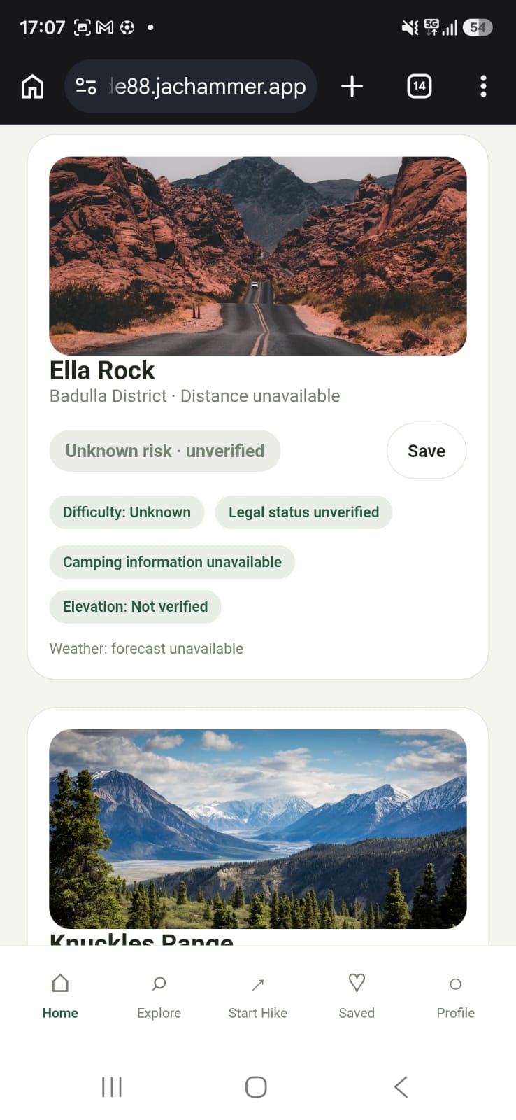
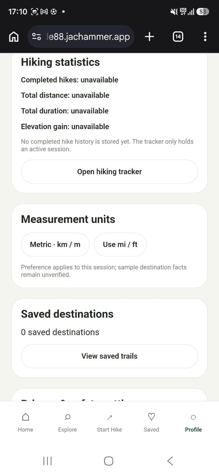
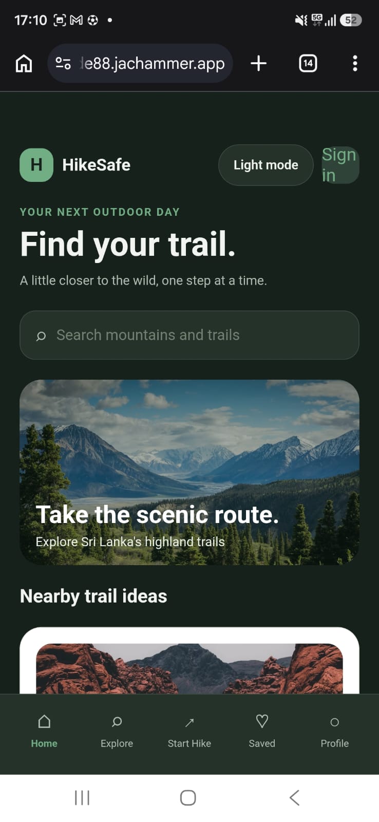
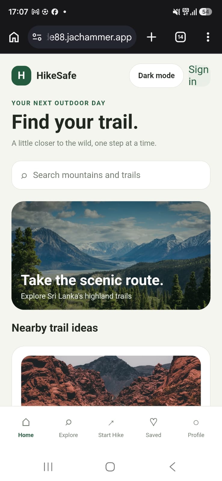
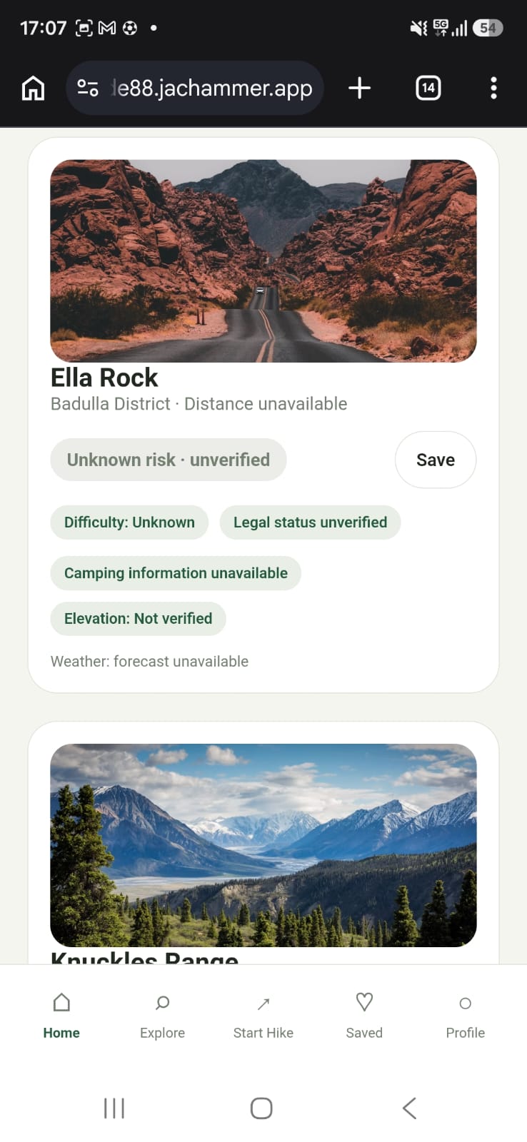
Mountain discovery: Explore hiking destinations and view details about locations, elevation, difficulty, and estimated hiking time. Smart search and filters: Find destinations by distance, risk level, legal access, difficulty, and public or private camping availability. Weather information: Check weather conditions and forecasts for selected hiking destinations and regions across Sri Lanka. Interactive maps and GPS: Locate hiking destinations, track hiking routes, and monitor distance, duration, and elevation gain. Mountain safety: Display known hazards, risk assessments, guide requirements, and available permission information. Emergency assistance: Prepare emergency messages and share location information with trusted contacts. Health monitoring: Track available fitness metrics such as steps, calories, distance, and hiking duration. Community reviews: Share hiking experiences, photographs, trail conditions, and personal risk assessments.
The goal is to make hiking information easier to access while encouraging responsible and safer exploration.
How we built it
We built Hike-Safe using JacHammer's AI-powered app development tools. We started with the core interface, navigation, home dashboard, and mountain discovery screens. We then expanded the project through small, focused prompts to add mountain details, search and filtering, weather, maps, GPS tracking, emergency assistance, health monitoring, and community reviews.
We used an incremental development approach to preserve existing functionality and work within the limitations of the free development plan. Our approach focuses on building a usable foundation first and improving it gradually.
Challenges we ran into
One of our main challenges was developing a feature-rich application while working with limited AI credits. We had to divide the project into smaller tasks, avoid unnecessary redesigns, and reuse existing components.
Another challenge was understanding the technical requirements behind features such as live weather, interactive maps, GPS tracking, and 3D mountain visualization. These capabilities can depend on external APIs, location permissions, reliable geographic data, and compatible device technologies.
We also recognized the importance of accurate safety information. Incorrect coordinates, unverified accident records, or outdated legal access information could put hikers at risk. This makes reliable data sources and clear identification of unverified information essential.
Accomplishments that we're proud of
We are proud of turning an ambitious idea into a structured application project with a clear development roadmap. We established the foundation for a hiking-focused interface and planned how mountain discovery, risk information, camping availability, weather, GPS, health monitoring, and community experiences can work together.
We are also proud of approaching development incrementally rather than attempting to build everything in one step. This helped us manage limited resources, identify technical limitations, and prioritize features that can provide real value to hikers.
Most importantly, Hike-Safe is driven by a practical goal: making hiking information more accessible and helping people prepare for outdoor adventures more responsibly.
What we learned
We learned that building an application involves much more than designing attractive screens. Features must work together, data must be reliable, and important user actions must be tested.
We gained experience in breaking complex requirements into manageable development tasks, using AI-powered development tools, planning application features, and identifying external integration requirements.
We also learned to distinguish between demonstration interfaces and genuinely working integrations. Accurate weather forecasts, reliable GPS tracking, secure location sharing, and health measurements require appropriate data sources, permissions, and testing.
What's next for Hike-Safe
Our next goal is to improve the reliability and functionality of the existing application. We plan to focus on:
Connecting a working interactive map with accurate Sri Lankan hiking destinations. Fixing and validating real weather forecasts for individual mountains and regions. Improving GPS route tracking, elevation calculations, and hiking progress monitoring. Adding terrain visualization and verified hazard locations where suitable data is available. Improving secure location sharing and emergency assistance. Connecting supported health platforms for fitness monitoring. Building a reliable database of hiking destinations, legal access requirements, camping facilities, and verified safety information. Improving offline access, testing, privacy, and overall performance.
Our long-term vision is to make Hike-Safe a trusted digital companion for Sri Lankan hikers and eventually expand it to hiking destinations worldwide.
Hike-Safe — Explore Further. Prepare Better. Hike Safer.
Built With
- chatgpt
- jac
- jachammer


Log in or sign up for Devpost to join the conversation.