-
-
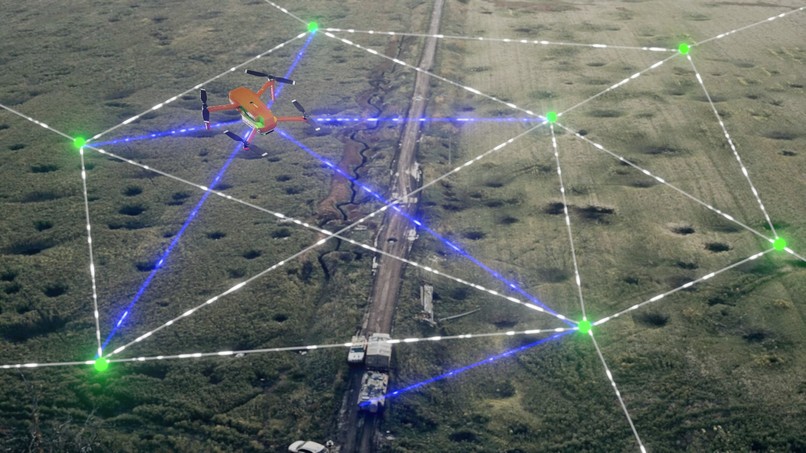
Visualisation of a drone gathering position in warzone
-

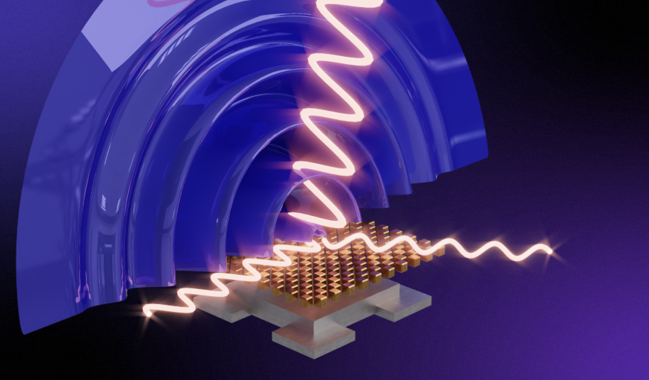
Technical visualisation of proposed radio idea.
-
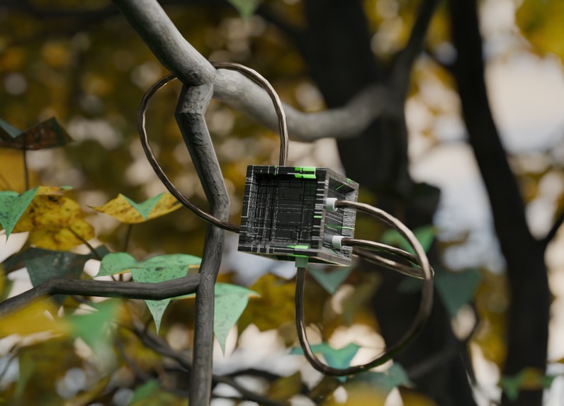
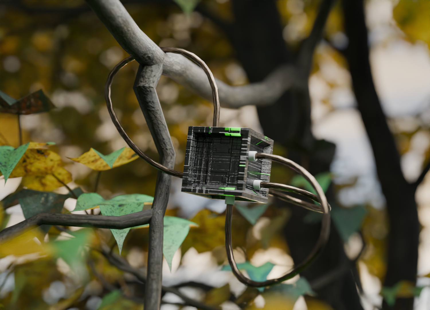
Radio beacon hanging in a tree (early model)
-
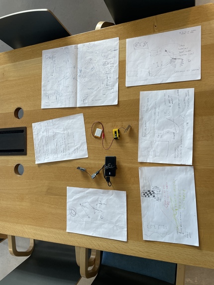
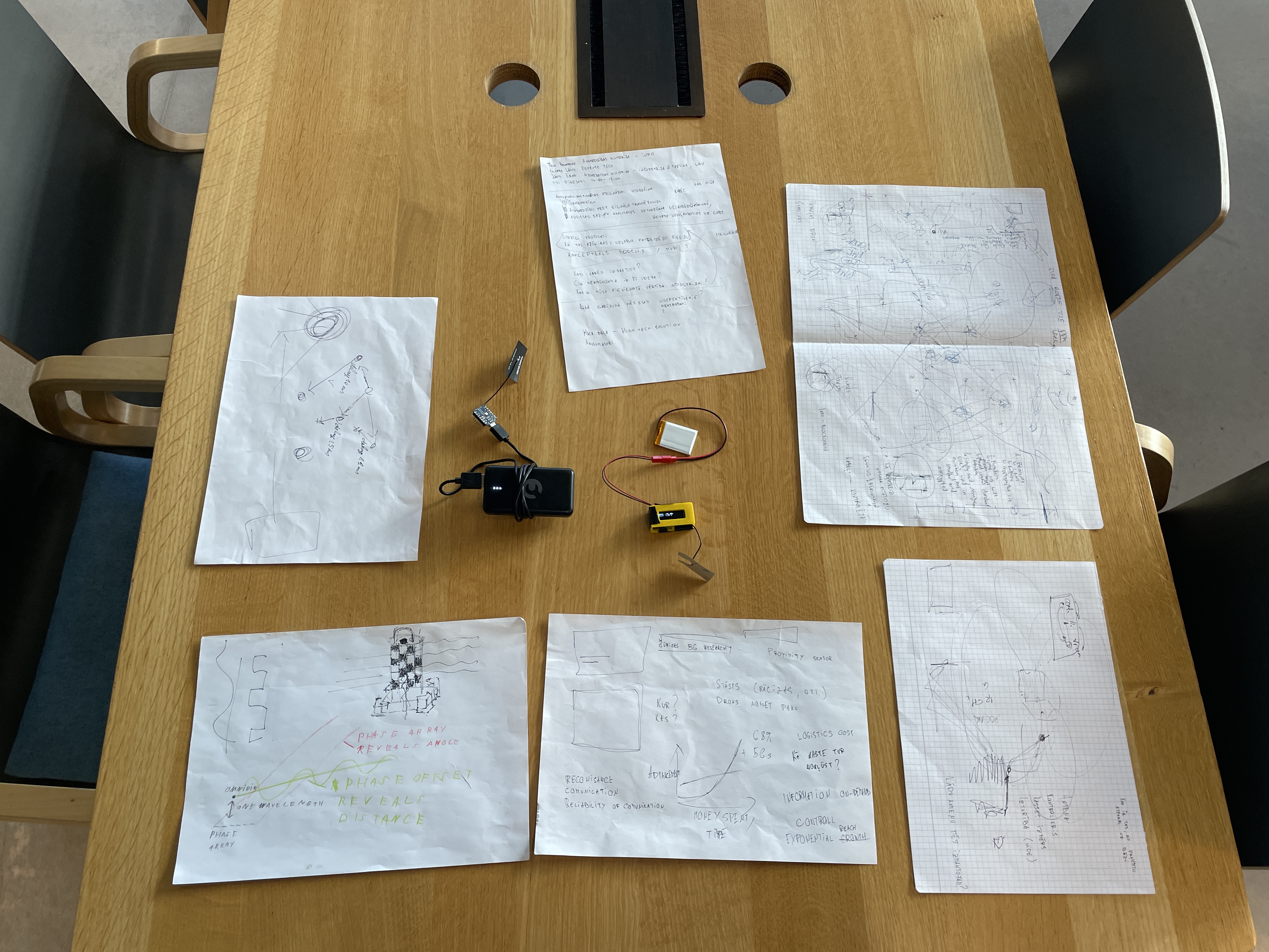
Brainstorming and prototype
-

Logo


Inspiration
The idea for Locanex came from a simple but frustrating problem: GPS doesn’t always work when you need it most. In dense cities, indoors, or in electronic warfare zones, GNSS signals can be jammed, spoofed, or completely lost. We were inspired by how aviation navigation used to work — the VOR system — a network of ground beacons that guided aircraft long before satellites existed.
Our Design
We created a beacon that acts as a highly visible, encrypted landmark for drones, which simplifies landmark based navigation that we often see on the front lines.
The beacon is a multi-antenna system that allows a cryptographically signed message to request a beacon ping. The beacon pings a coded message which allows only the code holders to deduce their direction to the beacon.
We chose 400MHz, as it is the lowest frequency a drone could feasibly detect, whilst also being close to the frequencies used by similar navigation systems in aviation, allowing us to use time-tested designs to accelerate development.
Challenges we ran into
Prevented the jamming of signals by using directional antennas and the barrier created by the surrounding geography.
Minimized detection and location of beacons by minimizing the time they spend transmitting, as well as encrypting the signals sent by the beacons
Prevented jamming of beacon delivery drones by designing a high-precision IRS navigation system specifically for the delivery mechanism.
Accomplishments that we're proud of
We were able to quickly create a protype and test many of our possible approaches.
We were able to quickly solve every problem the idea had, resulting in a very robust list of possible approaches we could take.
We quickly learnt how to delegate tasks based on the abilities of our teammates.
We achieved a surprising level of communication, becoming capable of adding to each other's ideas in new and inventive ways that none of us could have achieved alone.
What we learned
We better understand the directionality of antennas and the effect of the surrounding geography on signal strength.
We learnt many different methods of navigation, which allowed us to quickly combine their strengths and weaknesses into a fesible product.
We learnt many different methods of signal jamming, allowing us to focus on solutions that can withstand jamming.
We studied many of the problems experienced by Ukrainian troops, allowing us to better deduce what problems needed solving.
What's next for LocaNex
Government approval and grants will allow us to develop the idea into a usable prototype. Advanced prototyping will allow us to deduce the exact amount of weather proofing our beacons require. Field testing will tell us the optimal battery life and power emissions to maximize visibility and decrease production costs.
How we built it
We constructed our prototype by tirelessly looking for ready-made modules that could fit our idea, then connecting them into a working assembly, which we placed into a custom-printed box.
Built With
- antenas
- beacon
- electromagnetism
- esp32
- gnss
- navigation
- phasedarray


Log in or sign up for Devpost to join the conversation.