-
-
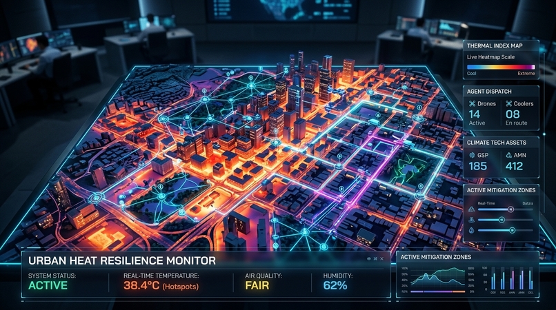
Heatsentry -Autonomous urban heat resilience system
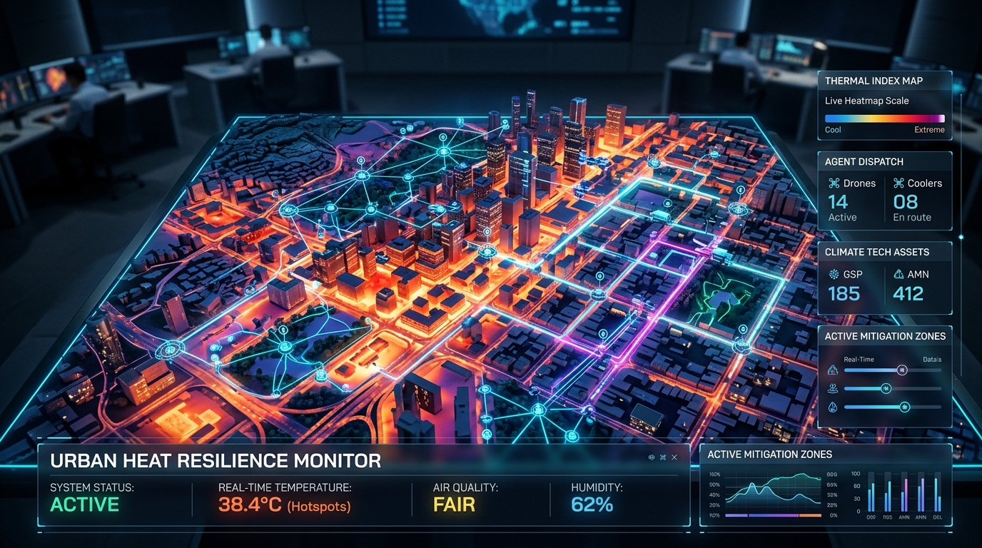
Inspiration Extreme heat is humanity's deadliest weather-related threat, claiming thousands of lives annually and disproportionately impacting low-income urban neighborhoods. In cities like Phoenix, Arizona, surface temperatures frequently exceed 140°F (60°C) due to the Urban Heat Island (UHI) effect—a phenomenon exacerbated by dark asphalt, dense concrete, and sparse tree canopies. Current municipal responses remain reactive: city planners rely on regional airport weather stations or coarse satellite thermal maps with kilometer-scale resolutions that miss neighborhood-level microclimates entirely. We were inspired to build HeatSentry-OS to democratize and operationalize 2-meter hyper-local heat intelligence—giving emergency responders, urban foresters, civil engineers, and citizens the real-time thermal insights needed to save lives and cool our cities proactively. 🚀 What It Does HeatSentry-OS is an AI-powered Urban Microclimate Operating System that bridges the gap between raw spatial telemetry and actionable civic interventions: Hyper-Local Thermal Mapping: Ingests high-resolution microclimate data down to a 2-meter grid across urban corridors (e.g., Phoenix metropolitan area), visualizing land surface temperature (LST), ambient heat, and thermal vulnerability index (TVI). AI-Powered Diagnostics & Insights: Leverages Google's Gemini models to generate multi-dimensional municipal reports, analyzing Geographic Information, Environmental Conditions, Urban Factors, Historical Extreme Events, and Anthropogenic Heat Exhaust. Predictive Mitigation Simulation (What-If Sandbox): Allows urban planners to simulate the cooling impact of interventions (e.g., cool pavement coatings, increasing canopy coverage, adding shade structures) before spending millions in civic capital. Emergency Dispatch & Safe Route Navigator: Generates heat-vulnerability alerts for vulnerable populations and calculates pedestrian routes that minimize cumulative thermal exposure. 🛠️ How We Built It We built HeatSentry-OS as a full-stack, enterprise-grade application: Frontend Architecture: Modern React with TypeScript and Vite, styled with Tailwind CSS, Lucide icons, and Motion for smooth real-time telemetry visualizations and responsive map canvases. Spatial Telemetry & Data Engine: Integrated FortyGuard’s Heat Intelligence pipeline and satellite telemetry for calibrated 2-meter spatial resolution data, processing parameters such as solar irradiance, surface albedo, and canopy deficit. AI Intelligence Core: Google GenAI / Gemini on the backend for multi-factor synthesis, synoptic weather reasoning, and municipal action plan generation. Resilience & Rate-Limiting Engine: Architected an intelligent multi-tier caching layer (spatial memory cache with 24-hour TTL and request throttling) to ensure zero redundant API overhead and instantaneous UI responsiveness. 🧗 Challenges We Faced Spatial Granularity & Data Heterogeneity: Harmonizing high-resolution 2-meter raster grids with dynamic vector layers (parcels, cooling centers, transit stops) while maintaining 60 FPS client-side rendering required building custom debounced canvas layers and memory-efficient spatial hashing. Domain-Specific AI Prompt Engineering: Translating raw microclimate numbers (albedo, solar flux, aerodynamic roughness) into coherent municipal policy recommendations required iterative prompt design grounded in meteorology and urban planning standards. What We Learned : Microclimate Disparities are Real: A single street corner with mature trees and reflective pavement can be up to 15°F cooler than an asphalt-heavy intersection just 100 meters away. AI Excels at Multi-Factor Urban Synthesis: Pairing deterministic microclimate physics models with generative AI creates a powerful synergy: physics provides the mathematical precision, while AI turns that precision into contextual, human-readable emergency directives. The Power of Proactive Resilience: Cooling interventions are exponentially cheaper and more effective when placed with 2-meter precision rather than city-wide averages. 🔮 What's Next for HeatSentry-OS City-Scale Expansion: Expanding live microclimate meshes to additional heat-vulnerable cities (Las Vegas, Houston, Dubai, New Delhi). IoT Sensor Mesh Integration: Connecting municipal low-cost BLE/LoRaWAN surface temperature sensors for continuous, ground-truth calibration. Mobile Citizen Companion App: Launching a companion PWA offering dynamic shade-aware walking navigation and push alerts during extreme heat warnings.
Built With
- gemini
- gemma
- google-cloud
- lyria
- veo


Log in or sign up for Devpost to join the conversation.