About the Project
Inspiration
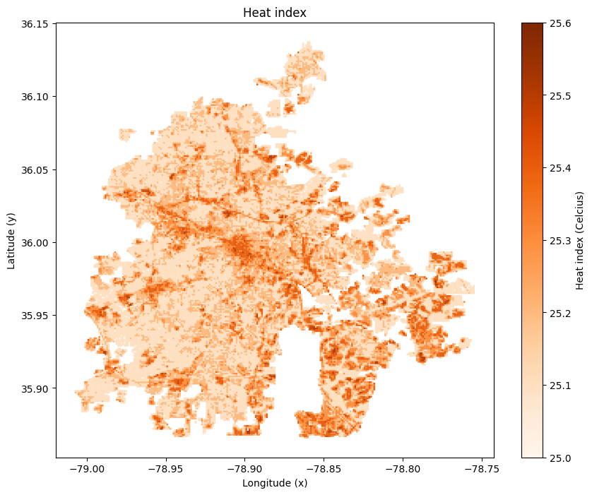
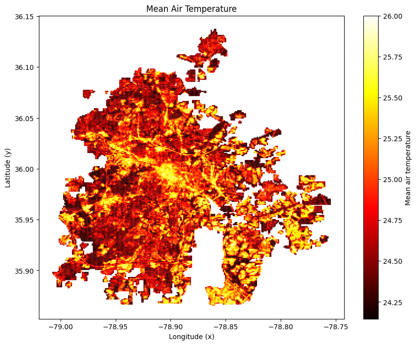
We were inspired by the growing urban heat problem in Durham, where some neighbourhoods are up to 7°F hotter than others due to limited tree cover and dense built environments. Seeing how heat disproportionately affects vulnerable communities motivated us to design a data-driven solution that could guide equitable climate adaptation. We are interested in finding out where is the best location to invest in heat stress solutions, as well as the optimal amount to invest
What We Learned
Through this project, we learned how to integrate climate, population, and infrastructure data into a unified spatial framework. We also deepened our understanding of techno-economic modeling, evaluating the cost-effectiveness of heat-mitigation strategies such as trees, parks, cool roofs, and cool pavements.
How We Built It
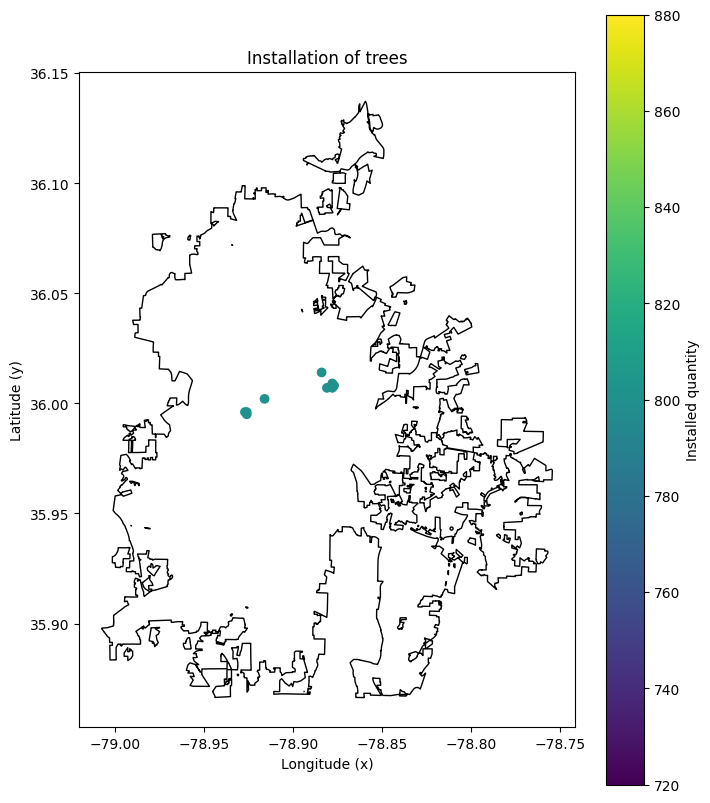
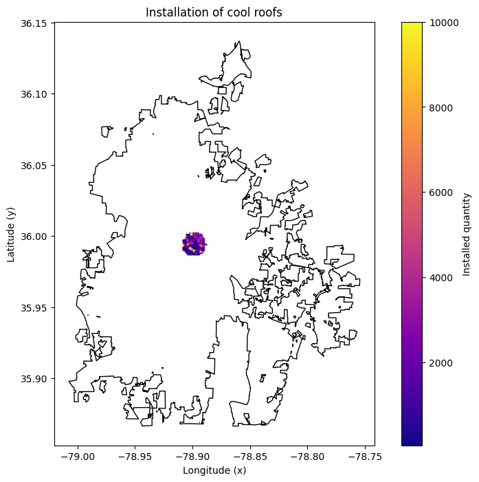
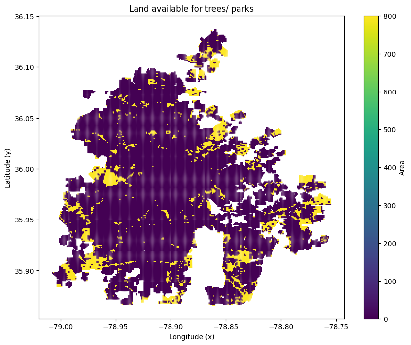
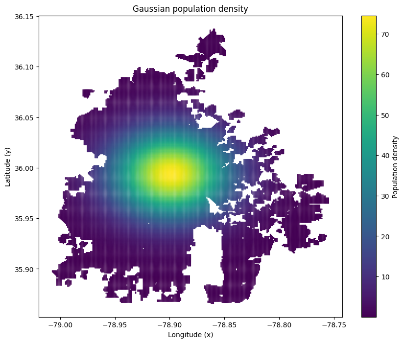
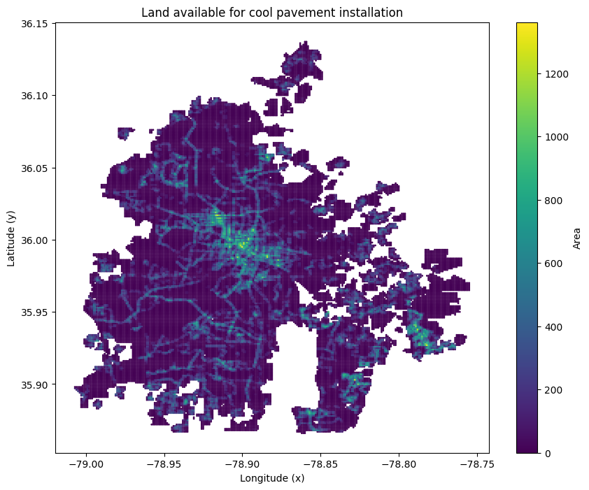
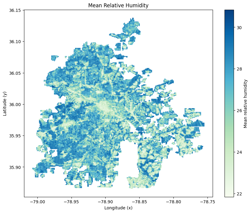
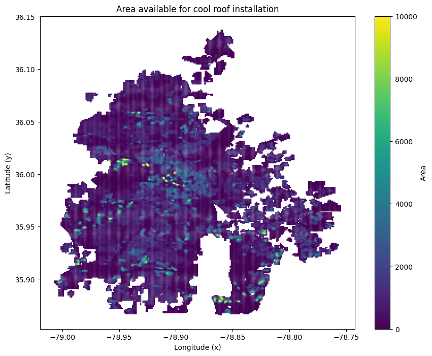
We divided Durham into 33,000+ micro-cells, each tagged with temperature, humidity, and population density data. Most data is taken from Durham Open Portal, and pre-processed with Geopandas, Pandas and Numpy. Using Python (Pandas, GeoPandas, and Plotly), we overlaid these environmental layers to generate the profile for each cell. Finally, we built a Linear Programming model solved by Gurobi to optimize and identify where each technology would provide the greatest cooling impact per dollar spent.
Challenges
Our biggest challenges were handling large spatial datasets and calibrating realistic cooling effects for each technology. We also had to balance accuracy with computational efficiency, ensuring our model could both visualize and optimize at city scale.


Log in or sign up for Devpost to join the conversation.