-
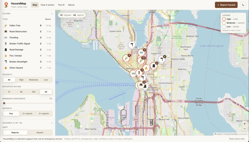
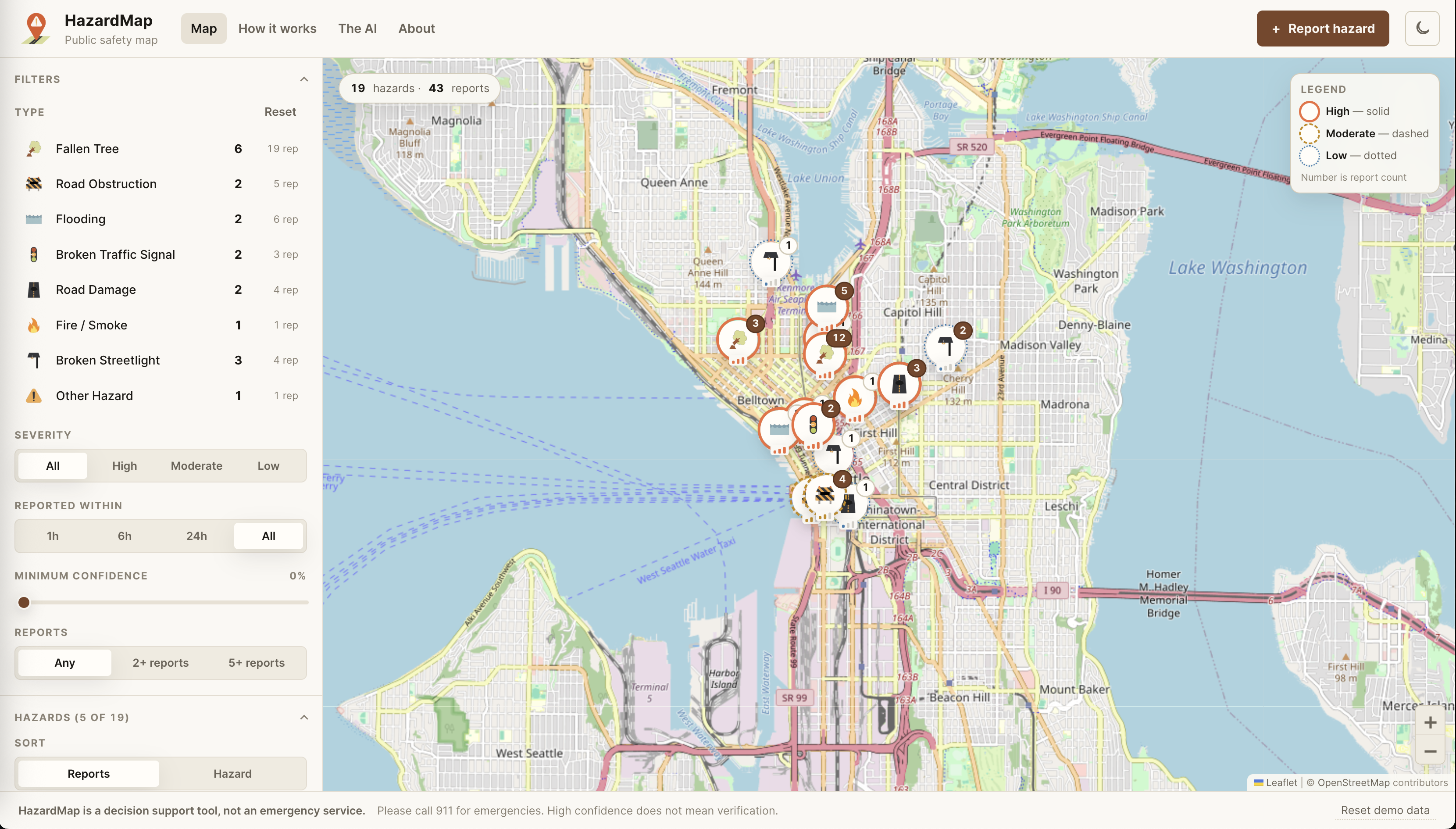
Website when you first open it
-

logo for our website

Inspiration
After receiving the hackathon prompt, we wanted to create a website that lets people contribute to public safety through a reporting system. Our inspiration came partly from Google Maps, where people could see and report road conditions, but we wanted to expand on that idea and let local communities warn each other about hazards beyond driving-specific conditions. Although there are alerts for those who are driving, they don't exist to warn those in areas where Google Maps may not be used. For instance, in a hike, if you see smoke or a fire nearby, you can report a fire. Or, if you see a fallen tree blocking the hiking path, you can report a fallen tree. Both these examples are not possible with Google Maps. HazardMap also allows members of the community to help alert authorities about any existing or potential hazards through the map.
What it does
Our website takes crowdsourced data and processes it using AI to categorize reports, then pins specific hazards to a live interactive map. It takes in descriptions and pictures, then runs them through an AI system that classifies and summarizes the received information for better generalization into hazard categories. Twelve people describing one fallen tree should produce one marker at high confidence, not twelve different pins. HazardMap classifies a photo or a sentence, groups reports that describe one event, and scores the result with an explainable confidence figure using log-odds.
How we built it
We used HTML/CSS, Python, and JavaScript as the main scripting languages. Python and JavaScript were used for the backend (the logic) of the website, while HTML/CSS displayed our results on the frontend of the website (the UI). We used AI to aid our coding in certain parts, including generating specific images for our eight different hazard categories, to help with review and feedback of our website (giving ChatGPT a screenshot of our homepage and asking what to change/add/remove), and to help with debugging (for example, when the frontend would fail to display an element and threw a very ambiguous error, we used AI to help us find and fix the error).
Challenges we ran into
As mentioned above, we ran into a multitude of challenges with errors with the code throwing ambiguous errors. We also ran into challenges with designing the actual website, which went through many iterations of design structures. We also couldn't fully implement the AI portion of the website, so we used a very simplified version that just checked for key words and did not analyze images. This is because in order to actually use the AI features, we would need an API key, which costs real money.
Accomplishments that we're proud of
We are proud of the way HazardMap turned out. It is not cluttered with diagrams and visuals, and descriptions are accessible from the header of the website, allowing users of the site to read more about the logic of how HazardMap works.
What we learned
We learned how to build a website, and not only using basic text. We learned how to use OpenStreetMap to integrate a navigable map into our website, and to integrate AI into our backend system.
What's next for HazardMap
We still need to successfully obtain an API key, along with improve the overall structure of the website a bit. Furthermore, there is not currently a log-in feature, which may improve credibility if the website ever expands (no bot reports).
Built With
- chatgpt
- css
- html
- javascript
- python
- vscode


Log in or sign up for Devpost to join the conversation.