-
-
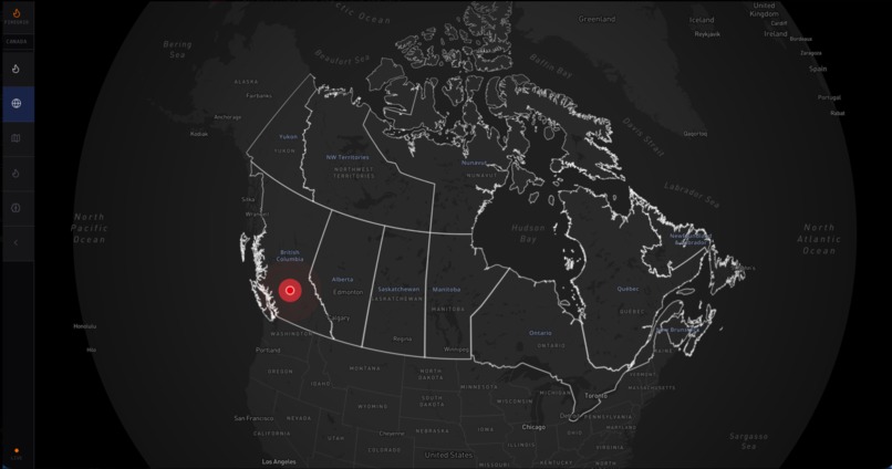
High Level View
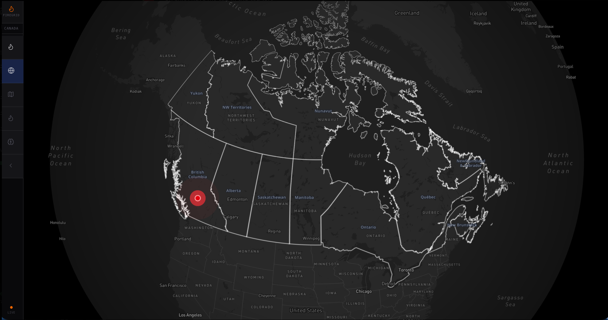
Hack-the-Globe-2026
Do you smell that?
It’s the scent of thousands of hectares of Canadian forest turning to ash. Over the last few years, wildfires have devastated our landscape, destroying critical infrastructure and displacing entire communities. While the United States utilizes systems like IRWIN to centralize wildfire data, Canada lacks a unified, AI-driven command center for predicting spread and—more importantly—generating tactical strategies to fight back. We built this project to bridge that gap.
Inspiration
The problem isn't just that fires are happening; it's that we are often one step behind them. Existing technologies focus heavily on where a fire is now, but they rarely provide actionable, real-time strategies for where to deploy resources next. We saw the habitat loss and the economic toll of recent seasons and realized that Canada needs more than a map; it needs a brain. By centralizing disparate data sources and applying reinforcement learning, we aim to provide the same level of strategic foresight for wildfire management that exists in high-stakes financial portfolio optimization.
What does our solution do?
Our platform is a comprehensive wildfire command center. It functions on two primary levels:
Predictive Intelligence: We ingest real-time data from NASA’s FIRMS (Fire Information for Resource Management System) and CWFIS (Canadian Wildland Fire Information System). Using a Scikit-learn-based spread model, the system predicts the fire's movement over 1-hour and 3-hour windows based on wind speed, humidity, and fuel type.
Tactical Strategy: This is the core differentiator. We developed a Reinforcement Learning (RL) environment where an agent trained via Proximal Policy Optimization (PPO) analyzes the fire's trajectory. It suggests optimal deployment "choke points" and resource allocation strategies to contain the spread before it hits high-value infrastructure.
The outcome is a live, interactive dashboard where emergency responders can see not just the threat, but a calculated plan of attack.
How we built it
The architecture is divided into a high-performance Python backend and a responsive Next.js frontend:
The Engine: We used FastAPI to handle real-time data ingestion and model inference. Our ML stack includes Scikit-learn for regression-based spread modeling and PyTorch with Stable Baselines3 for the tactical RL agent.
Data & Persistence: We utilized DynamoDB to store historical fire data and model states, ensuring our "Digital Twin" of the forest remains persistent and scalable.
The Interface: The frontend is built with Next.js and Tailwind CSS. We integrated the Mapbox GL JS API to create a high-fidelity geospatial visualization of fire perimeters and predicted spread zones.
Validation: (Leave blank for now as per instructions)
Challenges we faced
Our biggest hurdle was differentiation. There are many "fire maps" out there, so we spent significant time interviewing stakeholders to understand why existing tools fail during active burns. Technically, the 24-hour timeframe was a major constraint for training the RL models. While the current PPO agent shows promising strategic behavior, the environment complexity meant we had to balance model "robustness" with the immediate need for a functional prototype. Refining the reward function for the AI, ensuring it prioritized human life and infrastructure over just "putting out the fire", required constant iteration.
Accomplishments we’re proud of
We are incredibly proud of successfully bridging the gap between raw satellite data and an active strategy. Moving from a static data point on a map to a dynamic "Choke Point" recommendation system is a massive leap forward. Integrating a full RL training pipeline into a hackathon project, while maintaining a low-latency API through FastAPI, was a significant technical achievement for the team.
What we learned?
We learned that wildfire data is messy and decentralized. We had to build custom ingestion scripts for CWFIS and FIRMS to make the data "AI-ready." On a higher level, we gained a deep appreciation for the complexity of disaster response. It's not just about the science of the fire, but the logistics of the fight.
What’s next?
Short-term: We plan to implement lower-latency data ingestion through webhooks rather than polling, and we want to refine the RL agent’s training environment to include more diverse Canadian topographies (e.g., the Rockies vs. the Boreal forest).
Long-term: We aim to scale this solution to the United States and other fire-prone regions. By adjusting our reward functions and environmental parameters, this same architecture could be adapted to contain other natural disasters, such as flash floods or oil spills, providing a centralized, AI-driven "Shield" for global infrastructure.
Built With
- amazon-web-services
- css
- dynamodb
- gemini
- javascript
- mapbox
- python
- pytorch
- reinforcement-learning
- typescript
- xgboost

Log in or sign up for Devpost to join the conversation.