Project
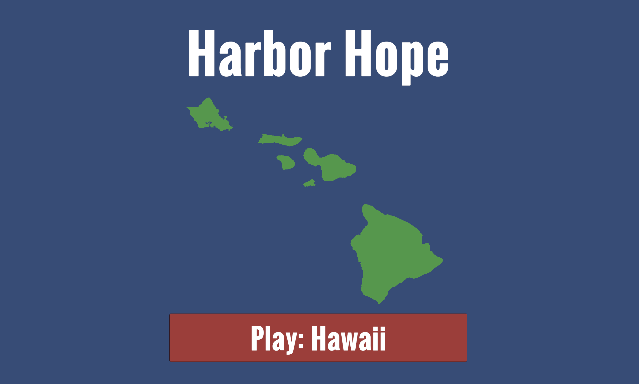
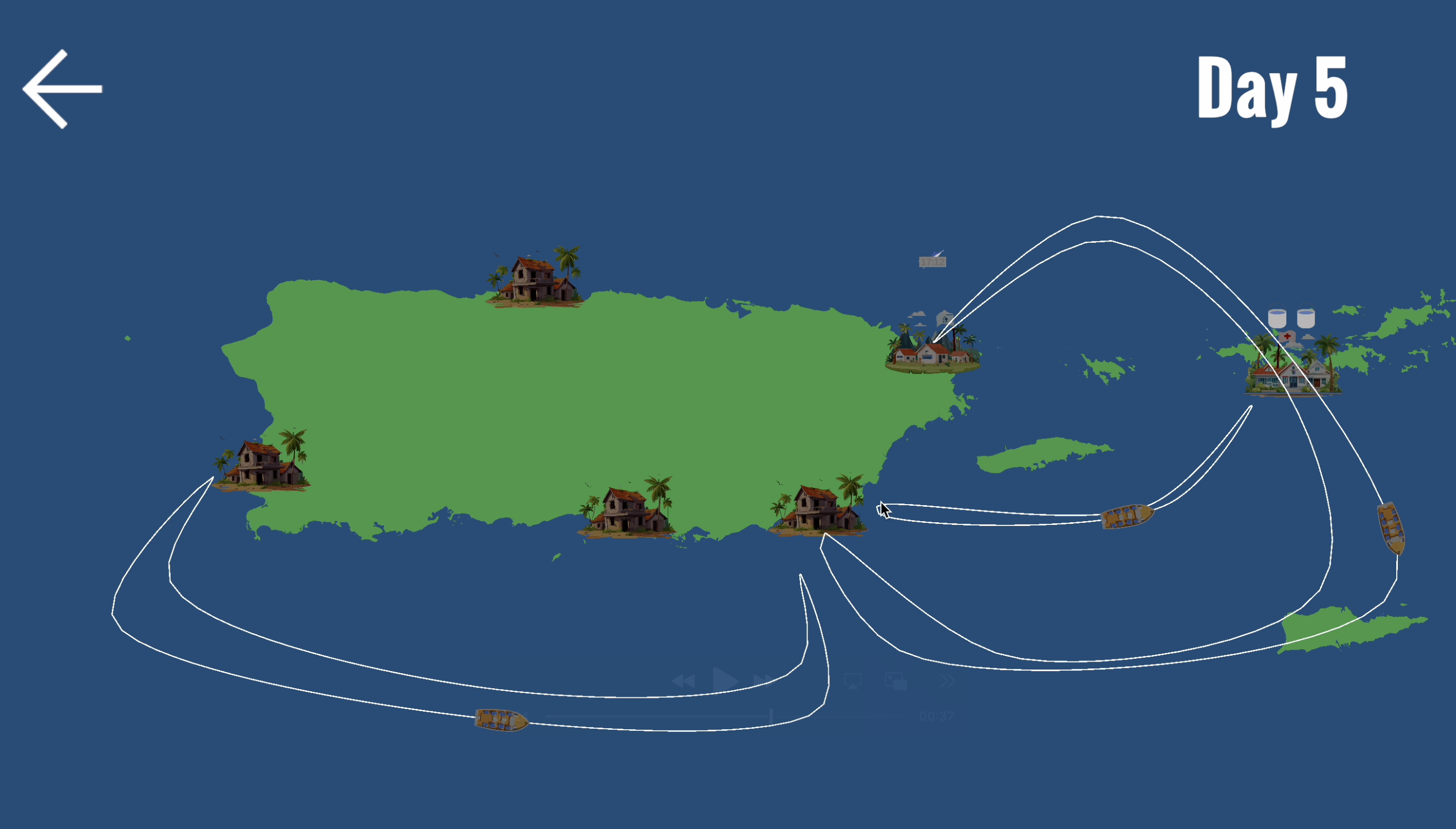
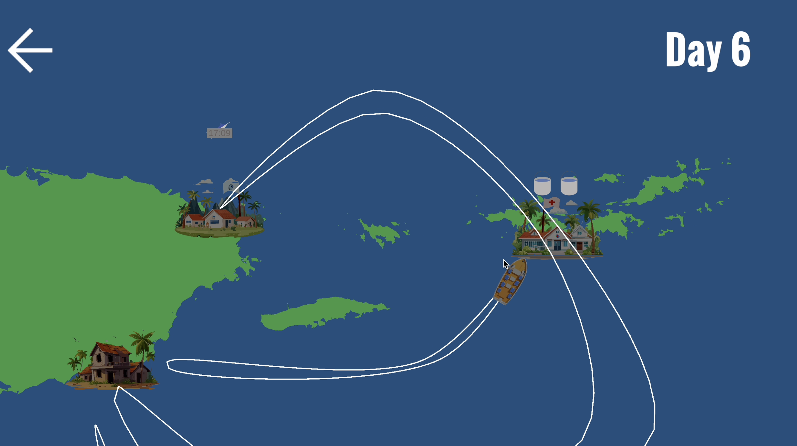
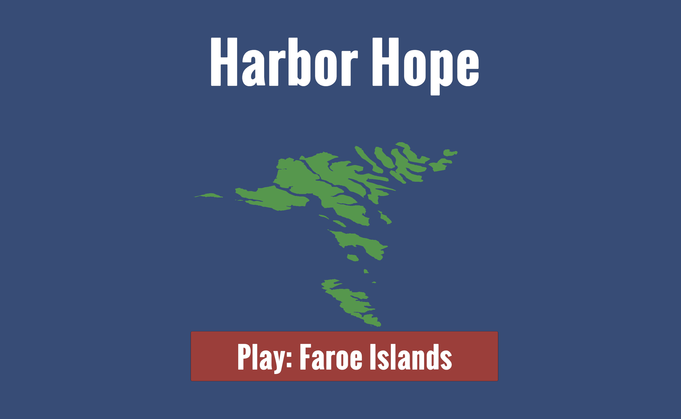
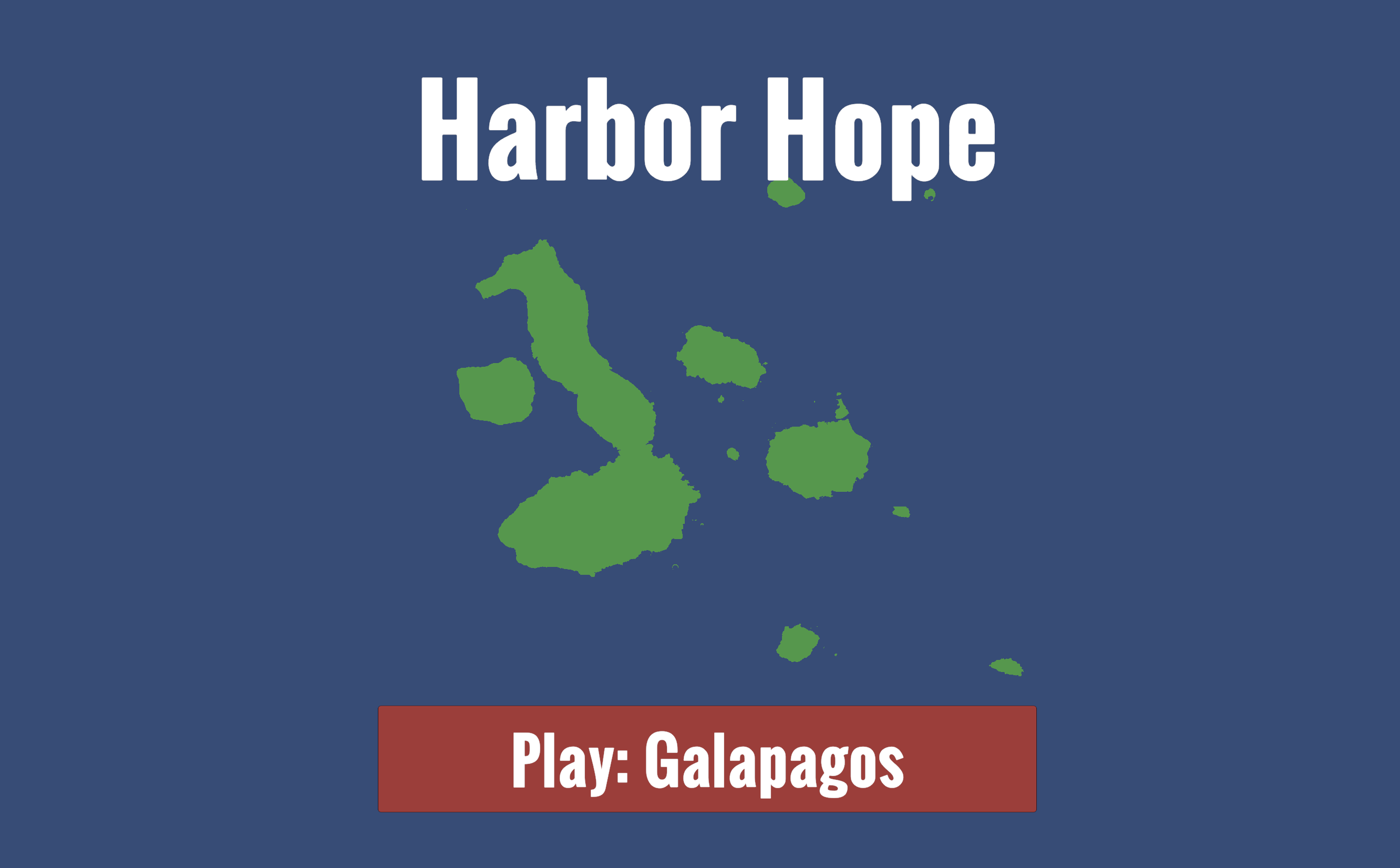
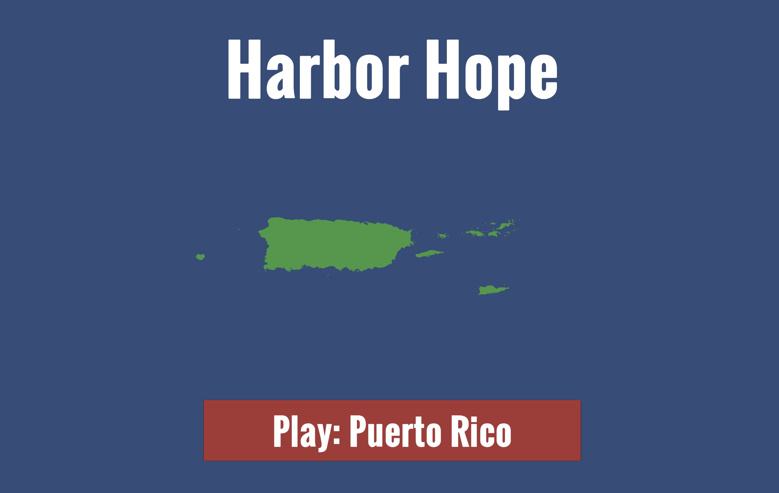
Save the world by planning and managing a fleet of boats transporting goods between isolated island towns facing natural disasters. All the islands in this game are completely, 100% accurate real life islands, generated from satellite imagery! By doing so, we show how you can use satellite imagery to create accurate and realistic simulations. We also made a fun city planning and management game about planning boat routes with different, real life maps.
How we built it
Using Python, and overpass, we generated 2D meshes in Unity from real world satellite data. We also built the gameplay about planning ship routes and saving cities and islands.


Log in or sign up for Devpost to join the conversation.