-
-

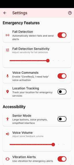
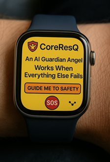
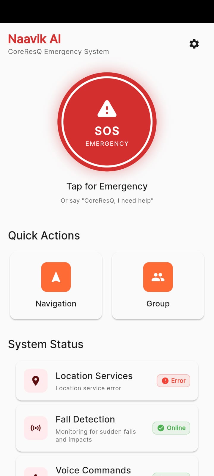
Smart Watch Helper
-
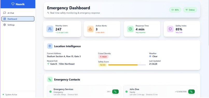
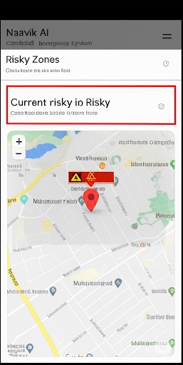
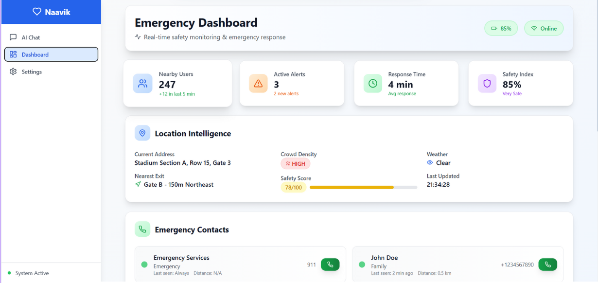
Dashboard for Organizers
-
-
-
-
-
-
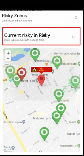
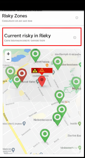
Google Map


Alright, here's my take:
Inspiration
Okay, so the whole idea for Naavik AI + CoreResQ basically smacked me in the face after seeing those insane crowd stampede disasters—like, remember the RCB Victory Parade chaos or the madness at Jagannath Rath Yatra? Way too many people, not enough communication, and bam, lives lost for no good reason. Honestly, once I realized almost 90% of those deaths could’ve been avoided with something as simple as timely alerts and smarter navigation, I got obsessed. Had to build something. That’s how this whole offline-first, AI-powered safety thing came about—hooked up with Google Maps API to help people escape dangerous crowds, even if the internet’s dead.
What I Learned
Man, I picked up a ton while hacking away at this project:
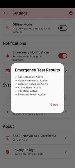
- Figured out how to run ML models right on the device, so it can flag distress even when there’s zero signal.
- Learned to wrangle the Google Maps API for offline stuff—pre-loading map tiles, geofencing, all that jazz.
- Made it shout at you (well, voice and vibration) to steer you toward safe exits if things go sideways.
- Built in custom safety layers—so you can actually see risk zones and emergency routes, not just a boring map.
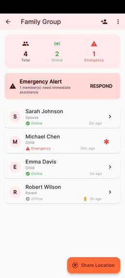
- Got BLE mesh networking working, so your phone can shoot out SOS alerts to others around you, no internet required.
- Whipped up AI-powered post-event reports, using crowd density heatmaps and some NLP tricks to sum things up.
Also leveled up my sensor game:
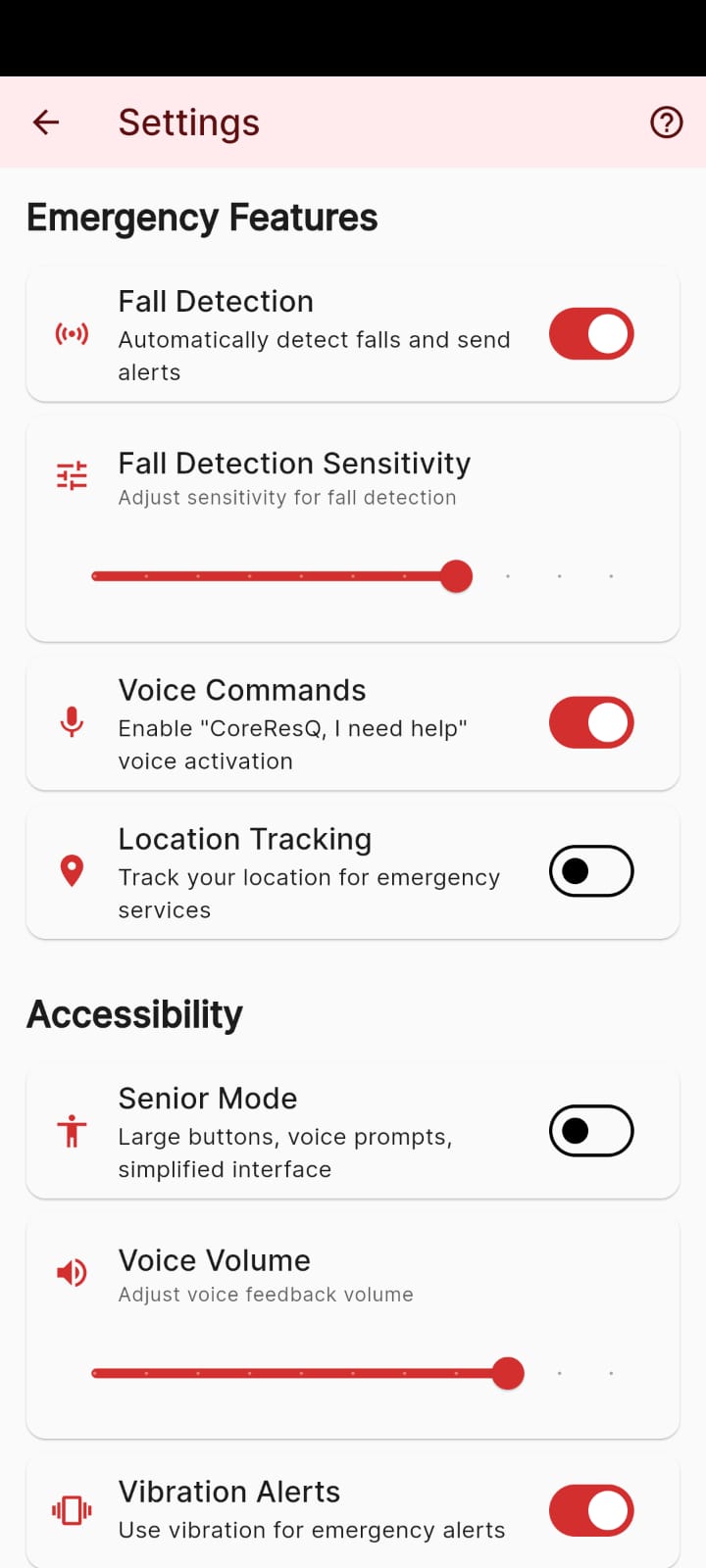
- Learned to juggle accelerometer and gyroscope data for fall detection—yeah, if you go down in the crowd, it knows.
- Trained a CNN to pick out screams in the middle of a noisy crowd (not as easy as it sounds, trust me).
- LSTM models for spotting when someone stops moving—could be a fall, could be worse.
How I Built It
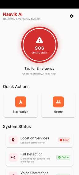
Mobile Side (Edge AI)
- Runs TensorFlow Lite models on your phone for real-time distress signals.
- Uses Google Maps API to cache maps offline, no more “loading…” when you need it most.
- Guides you with voice directions to the nearest exit, and yells (figuratively) if you wander into a danger zone.
- Shoots SOS pings over BLE mesh, so help can find you even when the network’s fried.
Organizer Dashboard
- Lets organizers see crowd density heatmaps overlaid on maps—super handy for spotting trouble.
- Fires off alerts when zones get risky, based on geospatial data.
- Spits out AI-generated safety reports after the event wraps up.
Cloud Side (Optional, but nice)
- Gathers up crowd movement data to retrain models and crunch analytics with Google Maps API.
ML & Navigation Flow Example
Here’s how the magic works:
- Audio gets turned into MFCC features (just fancy talk for making sound into numbers the model can read)
- CNN scans for distress screams. If it says, “Yep, that’s a scream,”
- It triggers an SOS and navigates you to the nearest exit using Google Maps.
Challenges (AKA, the Headaches)
- Getting Google Maps API to play nice offline—caching maps, keeping storage light, not fun.
- Visualizing crowd density in real-time without making the phone melt.
- Making BLE work efficiently so your battery doesn’t go belly up mid-stampede.
- Designing a UI that’s panic-proof—big SOS button, clear maps, voice prompts, no tiny text nonsense.
But hey, after all the battles, Naavik AI + CoreResQ is alive and kickin’. Offline-first, AI-powered, and actually useful in a crisis. Feels good to build something that might actually save lives, you know?


Log in or sign up for Devpost to join the conversation.