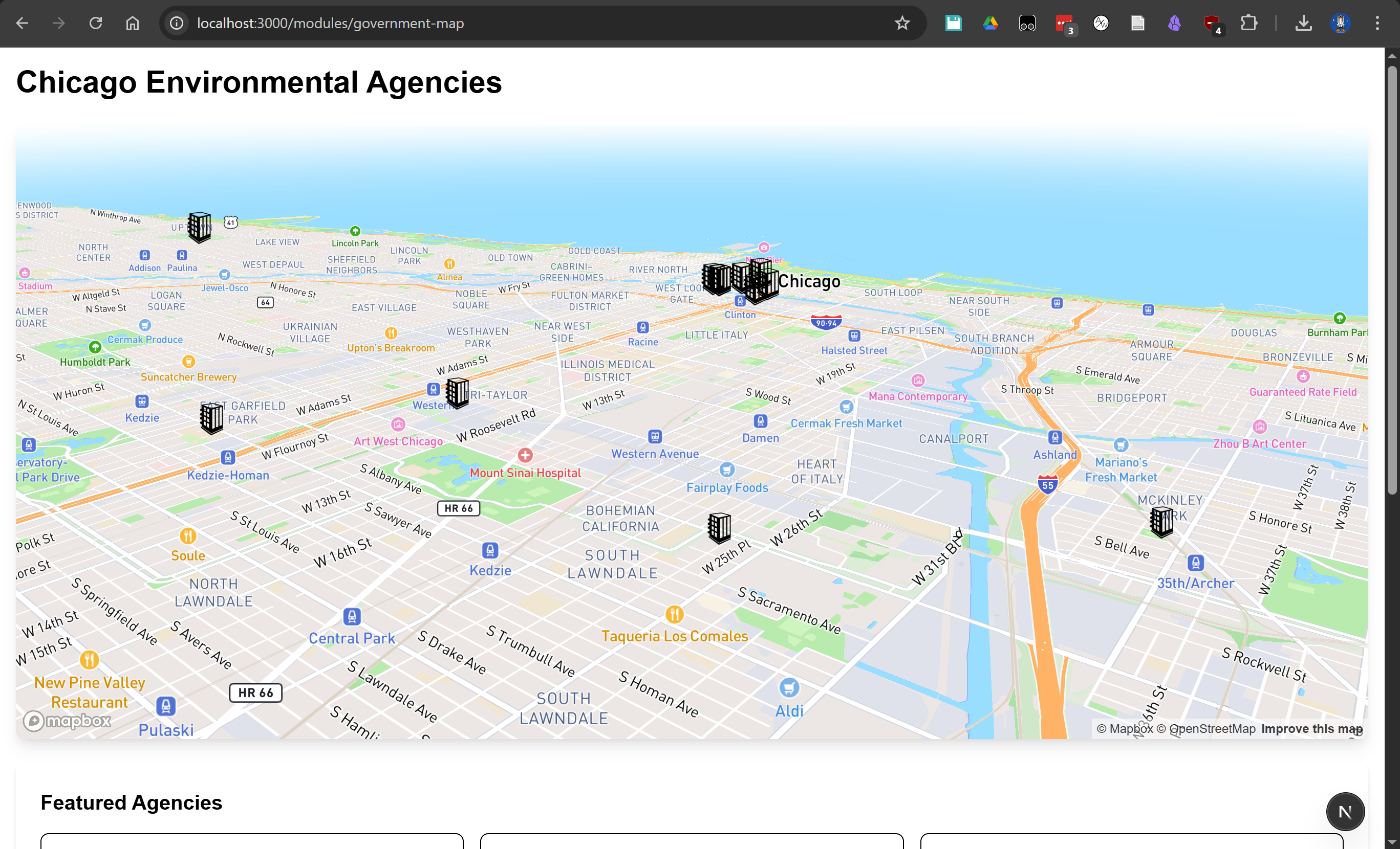
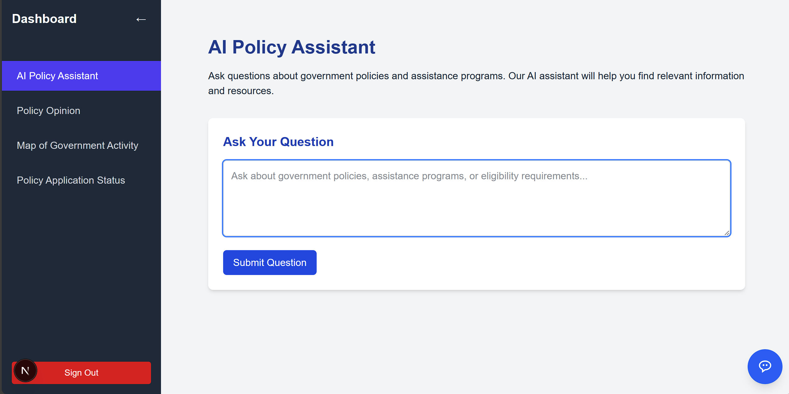
What it does GTA connects people to government resources and maps real-time government activity by extracting location data from trusted news sources, effectively scraping data and applying AI.
How we built it We scraped location data from news sites like CNN and discovered government policy PDF files, used APIs to decode latitude and longitude lines, and visualized the data on a dynamic map. In addition, we used a RAG model to create a chatbot that answers users queries based on the government policy data we found.
Challenges we ran into Scraping CNN’s dynamic content was tedious and difficult at times due to inconsistencies in the web source. APIs used in this project were complicated but intersting to use and learn about. We also struggled at the beginning to think of an idea that tied all of the many goals we had with plans each individual was making, but eventually, we effectively consolidated our thinking, enabling us to all work successfully on an application we all agreed with and enjoyed creating.
Accomplishments that we're proud of Built a functional AI pipeline that extracts live data. Successfully integrated local LLMs using government policty data. Designed a clean map UI to visualize real-time civic updates.
What we learned How to use Ollama to run LLMs locally. Prompt engineering for structured AI output. Handling messy real-world data with news articles. How to use mapping APIs. How to consolidate plans effectively. How to organize a group structure that facilitates maximum output.
Built With
- chatgpt
- deck.gl
- mapbox
- next.js
- openai

Log in or sign up for Devpost to join the conversation.