-
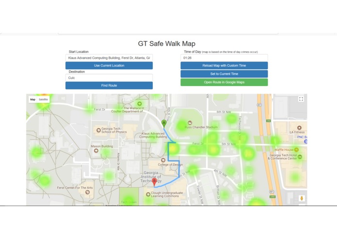
Desktop
-
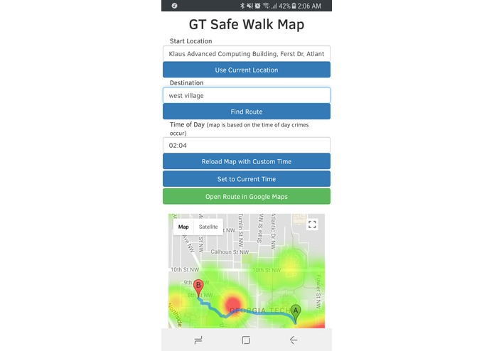
Mobile
Inspiration
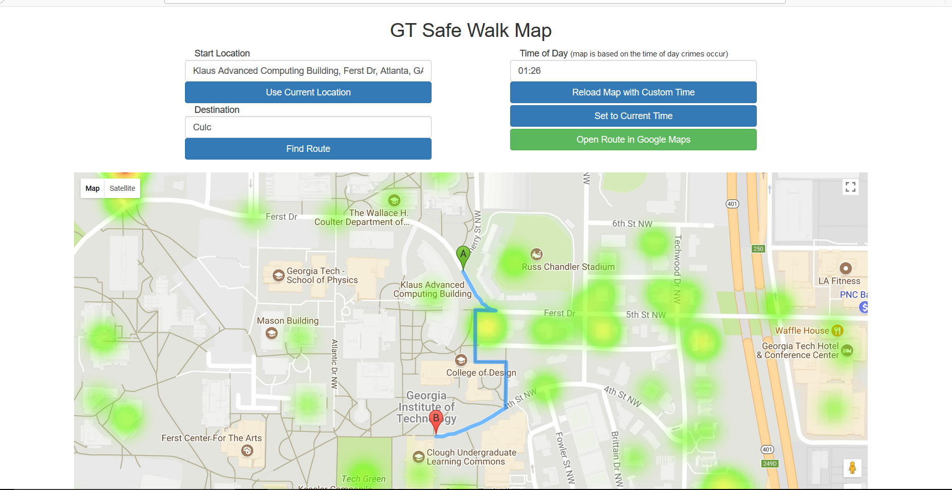
Sometimes when I'm walking at night, campus can seem a little ominous. This web app is designed to give you more peace of mind when walking around campus in the dark by showing you the best way to avoid areas with frequent crime.
What it does
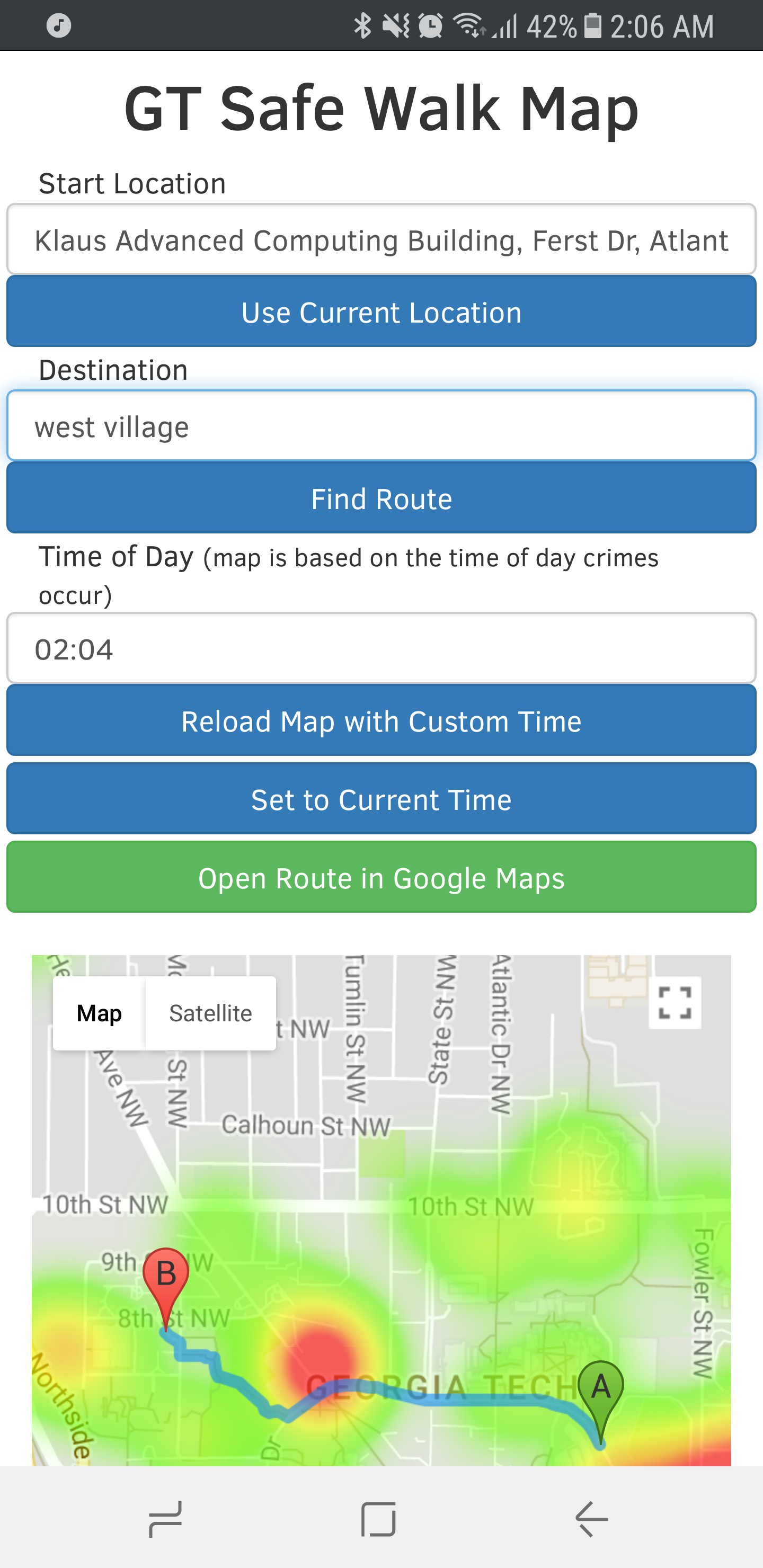
It uses GTPD's crime logs to create a heat-map of reported crimes for the current time of day so you can see which parts of campus are safest. When asked for directions, it looks through each of Google Maps' suggested routes and chooses the one that passes by the fewest locations with reported crimes.
How we built it
We used HTML, CSS, Bootstrap, and jQuery to build the website and process the crime log data. We used the Google Maps API for JavaScript to find routes from one place to the next, then looked through them to find the safest one.
Challenges we ran into
We had a little difficulty getting started with implementing the Google Maps display and styling the web page how we wanted.
Accomplishments that we're proud of
We completed what we set out to build and ended up with a pretty nice looking website that also works well on mobile browsers.
What we learned
A good project doesn't need to be overly complicated. I have a habit of starting very ambitious projects that often go unfinished. Taking time to come up with a project idea that is both useful and of reasonable scope was a good decision that I'll definitely keep in mind for the future.
What's next for GT Safe Walk Map
I'd like to improve the route finding method. Google doesn't provide very many routes to choose from, so it'd be nice to have a custom method of finding the safest route.


Log in or sign up for Devpost to join the conversation.