Inspiration Climate anxiety is real, but most people feel powerless. We were inspired by the idea that every unused patch of grass, every neglected backyard, every empty lot is an opportunity to fight back against rising carbon emissions. We wanted to build something that turns passive environmental concern into immediate, local, tangible action — starting with the ground beneath your feet.
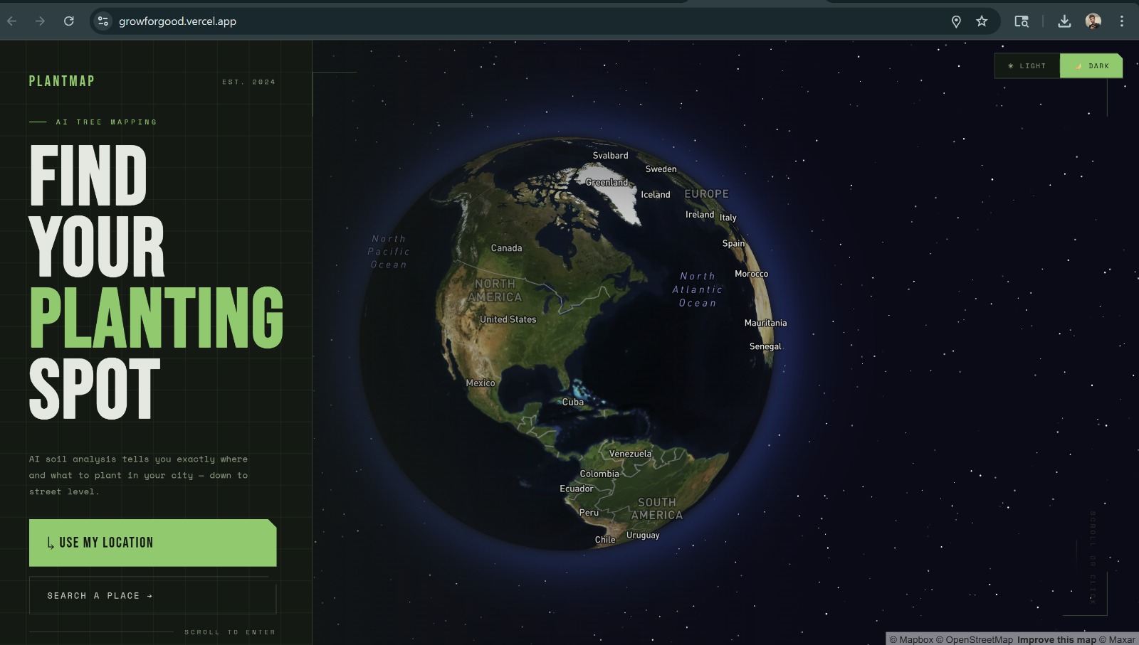
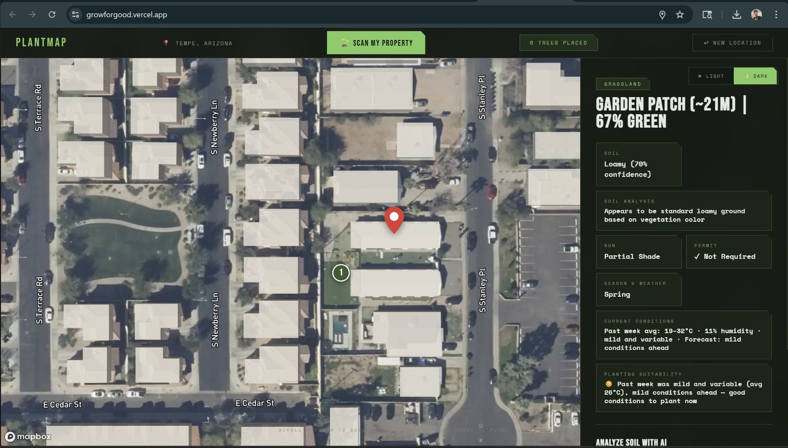
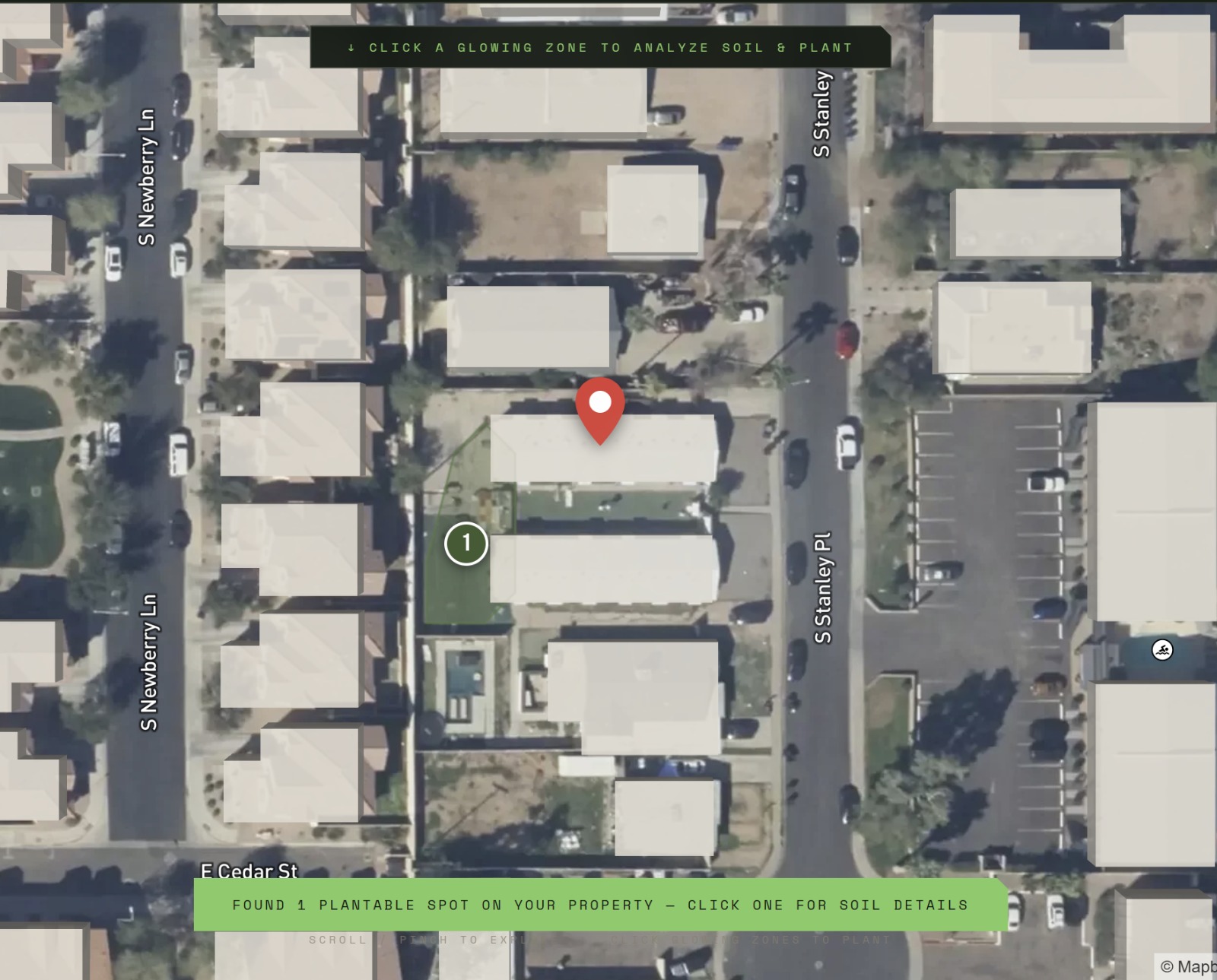
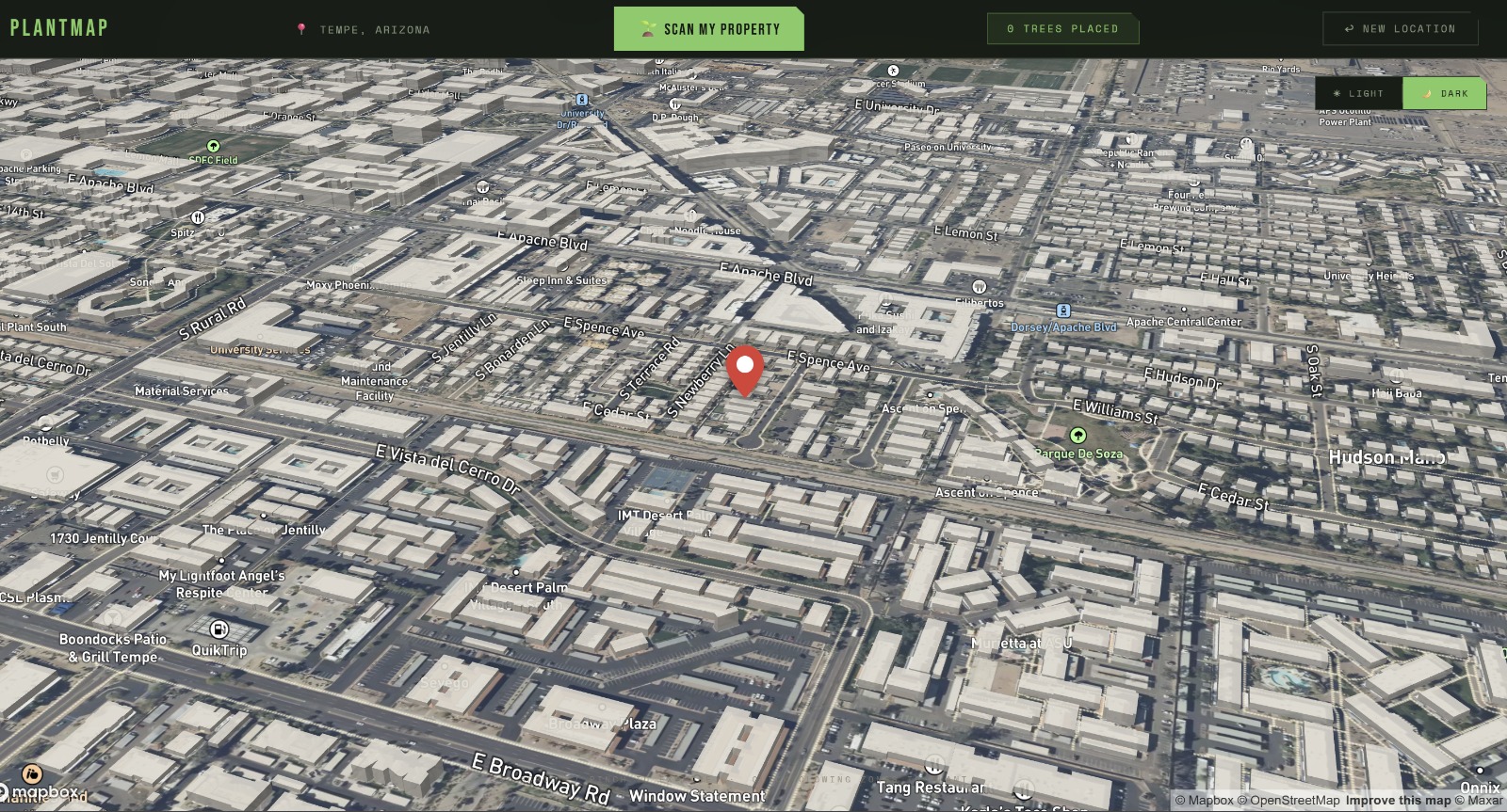
What it does Grow For Good lets you drop a pin anywhere on a live 3D satellite map, instantly scan the surrounding land for plantable zones, photograph your soil for AI analysis, and receive plant recommendations ranked by carbon capture potential. You can then visualize 3D trees on the map before you plant a single seed, with real-time weather data guiding the best time to act.
How we built it We built a single-page web app using Mapbox GL JS for 3D satellite mapping and land detection, Anthropic's Claude AI for soil photo analysis via computer vision, and Three.js for 3D tree visualization. The backend is an Express.js proxy deployed on Railway that securely handles all AI API calls. The frontend is deployed on Vercel and pulls live weather from Open-Meteo and land data from OpenStreetMap's Overpass API.
Challenges we ran into Accurately detecting plantable land from satellite imagery was our biggest technical challenge — filtering out roads, buildings, and concrete while preserving genuine green zones required multiple iterations of pixel-level analysis and geometric masking. Keeping API keys secure in a no-build static frontend required building a dedicated backend proxy. Deploying seamlessly across Railway and Vercel with environment-injected configuration also took significant effort to get right.
Accomplishments that we're proud of We're proud that the entire experience — from dropping a pin to receiving AI-powered, carbon-ranked plant recommendations — takes under 30 seconds. We built a production-grade, fully deployed application with a real backend, live AI integration, and 3D visualization in a single hackathon sprint. Most importantly, the app is genuinely useful: anyone, anywhere, can open it right now and take a real step toward reducing their carbon footprint.
What we learned We learned that making sustainability accessible is as much a design challenge as a technical one. The hardest problems weren't the AI or the mapping — they were the UX decisions that determine whether someone actually follows through and plants something. We also deepened our understanding of computer vision applied to environmental data, and how to architect secure, scalable deployments for AI-powered web apps.
What's next for Grow for Good We want to build a community layer — letting users log trees they've planted, track their cumulative carbon offset over time, and see a live map of every tree planted through the platform globally. We also plan to integrate soil sensor data for even more precise recommendations, partner with local nurseries for direct plant purchasing, and expand the AI model to account for biodiversity, not just carbon — because a healthy ecosystem needs more than just the most efficient CO₂ absorbers

Log in or sign up for Devpost to join the conversation.