Inspiration
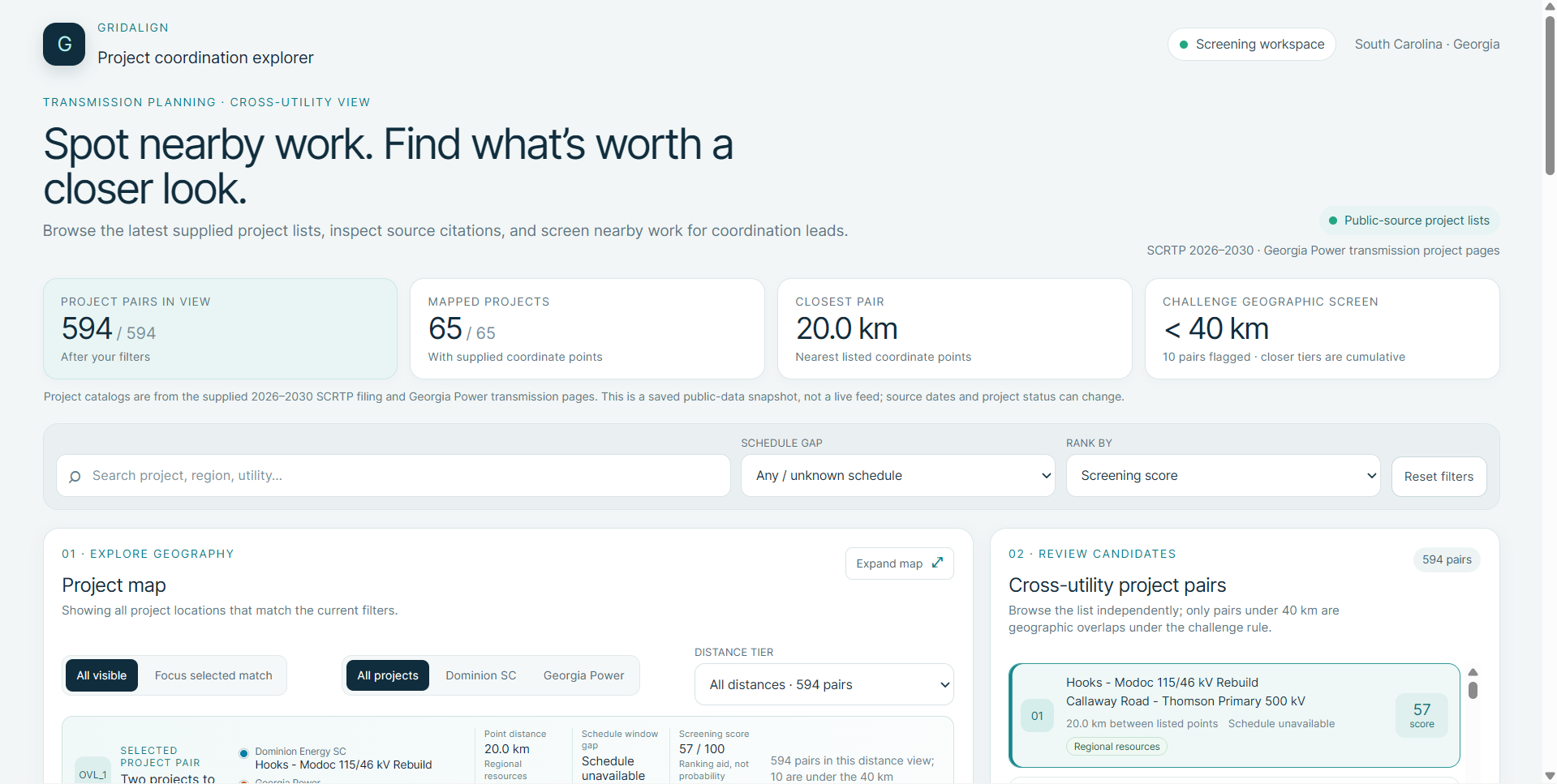
GridAlign was born out of a simple, frustrating observation: utility companies constantly dig up the exact same roads or upgrade adjacent infrastructure just months apart. Power, telecom, and water utilities operate in complete information silos. While grid improvement plans are technically public record, they remain buried across thousands of scattered PDF filings, regulatory reports, and state websites. We set out to build a platform that automatically surfaces these hidden coordination opportunities before money is wasted on redundant construction.
What it does
The system consists of a web ingestion pipeline paired with an algorithmic backend: Data Scraping & Ingestion: Built Java crawlers using Jsoup to automatically crawl utility portals, downing HTML pages and embedded PDF filings (such as Georgia Power IRPs and SCRTP project reports) into structured raw storage.
Data Standardization: Mapped disparate scraped fields into a unified UtilityProject model containing standardized coordinates, status flags, and ISO-8601 timeline dates (LocalDate).
Overlap Matching Engine: Developed a Spring Boot service (MatchingEngine) that filters active projects across different utilities and calculates spatial proximity using the Haversine formula to compute great-circle distance $d in miles
How we built it
Challenges we ran into
Unstructured & Inconsistent Data: Raw filings lack standardized formats. Normalizing dates across various narrative text layouts and mapping non-uniform project statuses into clean JSON objects required careful data modeling.
Web Scraping Edge Cases: Preventing infinite loops on recursive web crawls, handling dynamic PDF downloads, and filtering out off-site domain links demanded robust link cleaning and domain-locking mechanisms.
Filtering Noise: Ensuring the engine ignores comparisons between projects owned by the same utility, or projects that are already completed, so planners only receive high-value, actionable alerts.
Accomplishments that we're proud of
What we learned
Even basic point-to-point distance checks show clear opportunities for neighboring utilities to share equipment and staging areas.
Pairing an interactive map directly with an LLM makes dense regulatory filings much faster to analyze.
What's next for GridAlign
GIS Line Routes: Import full GIS shapefiles to analyze actual line corridors instead of point locations.
Regional Expansion: Add project data for the entire SERC Reliability Corporation region.
Automated Scrapers: Build web scrapers to detect when utilities publish updated 5-year capital plans.
Cost Models: Add financial calculations to estimate dollars saved from shared crew deployment and joint outages.


Log in or sign up for Devpost to join the conversation.