-
-
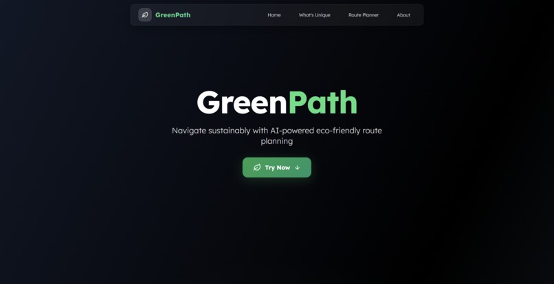
Home section
-
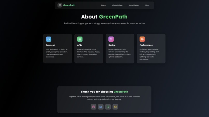
About & Footer section
-
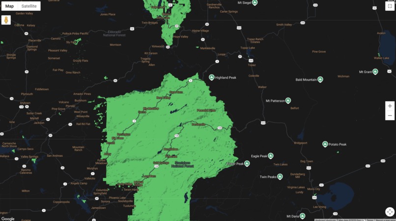
Maps fullscreen
-
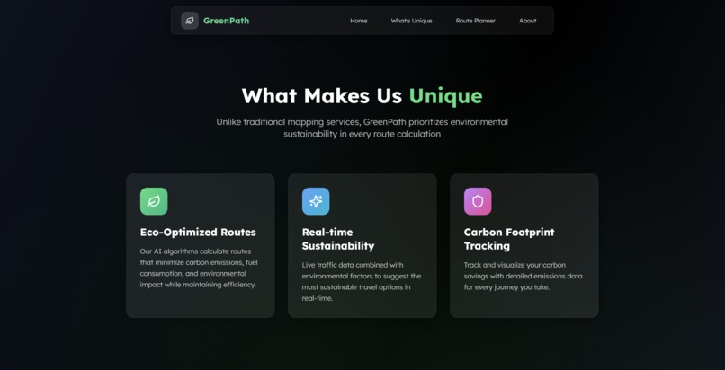
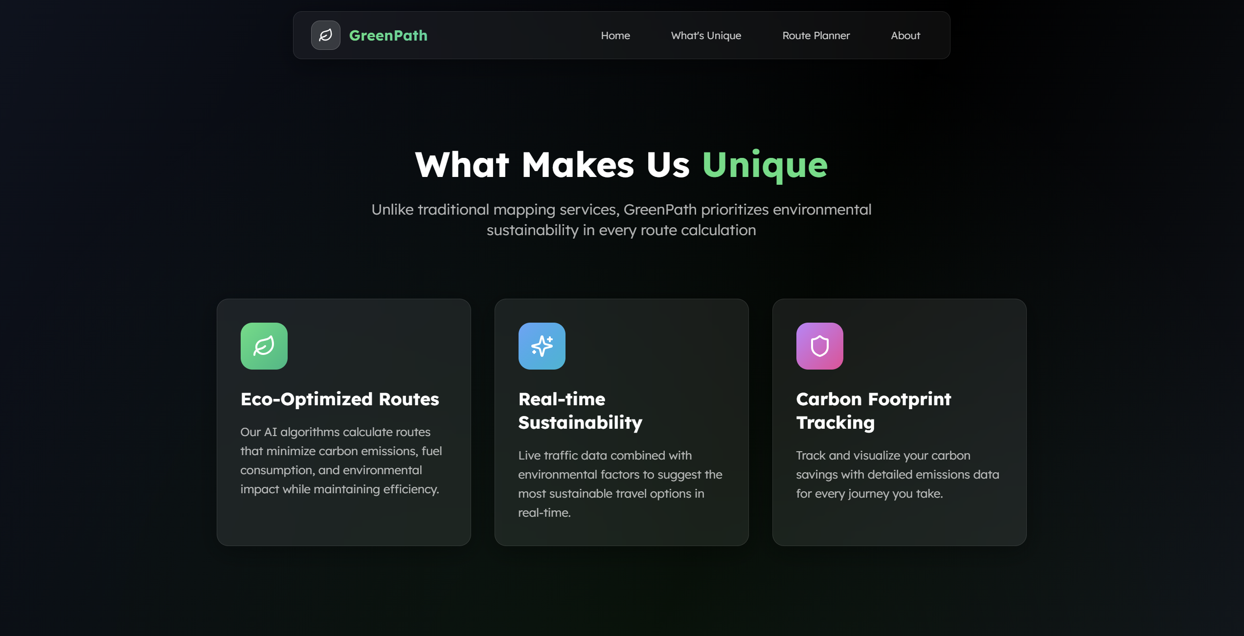
unique USP section
-
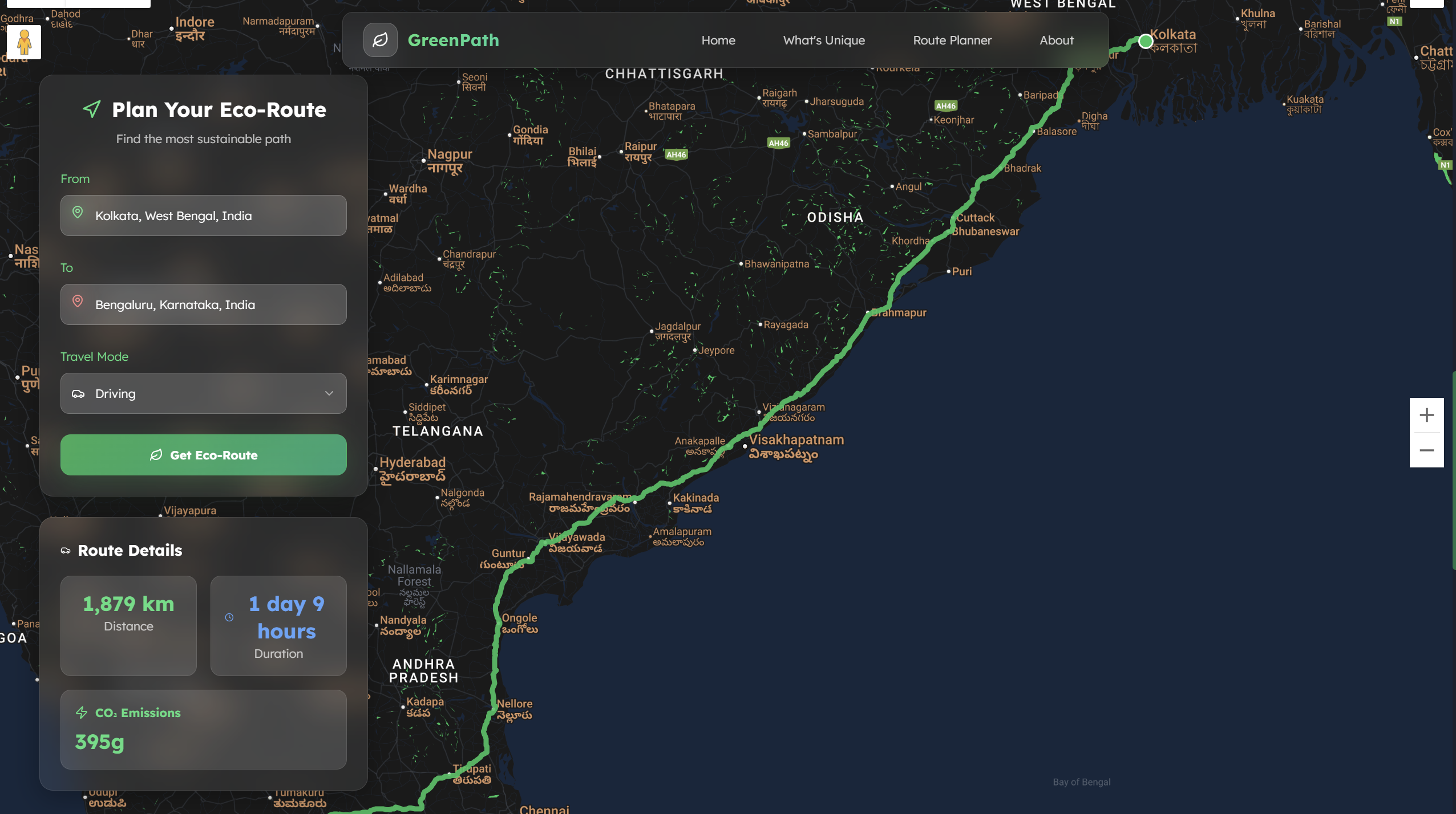
Route Finder section (Main product)
Inspiration
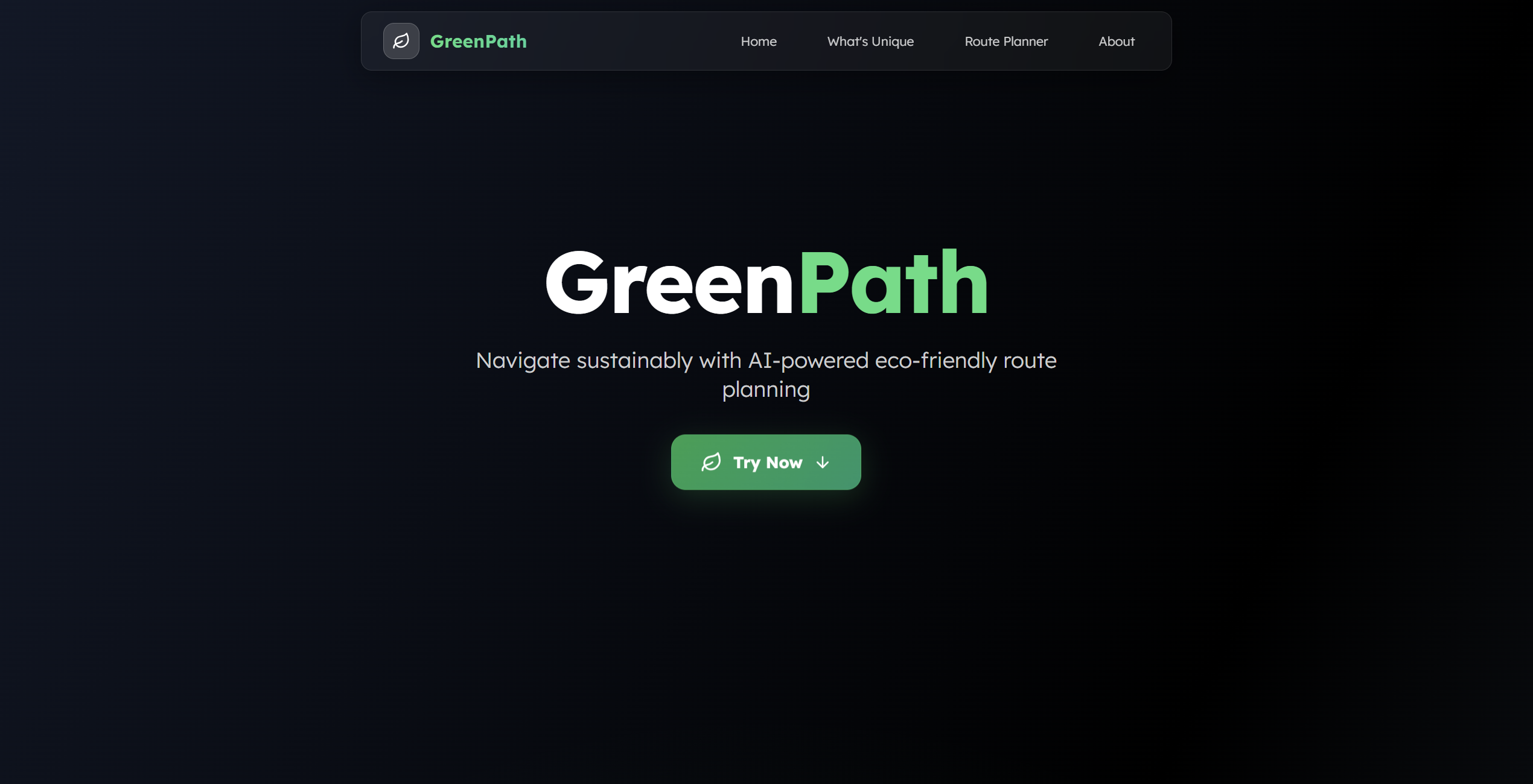
Our inspiration stems from the urgent global need for sustainable living and the growing awareness of our environmental impact, particularly in urban commuting. We observed that while navigation apps efficiently find the fastest routes, they often overlook the environmental cost. We envisioned a tool that empowers individuals to effortlessly make eco-conscious travel choices, contributing to cleaner air and healthier communities, all while leveraging the innovative capabilities of the Google Maps Platform to visualize this impact directly.
What it does
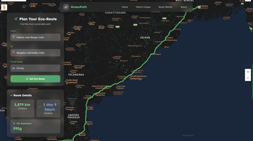
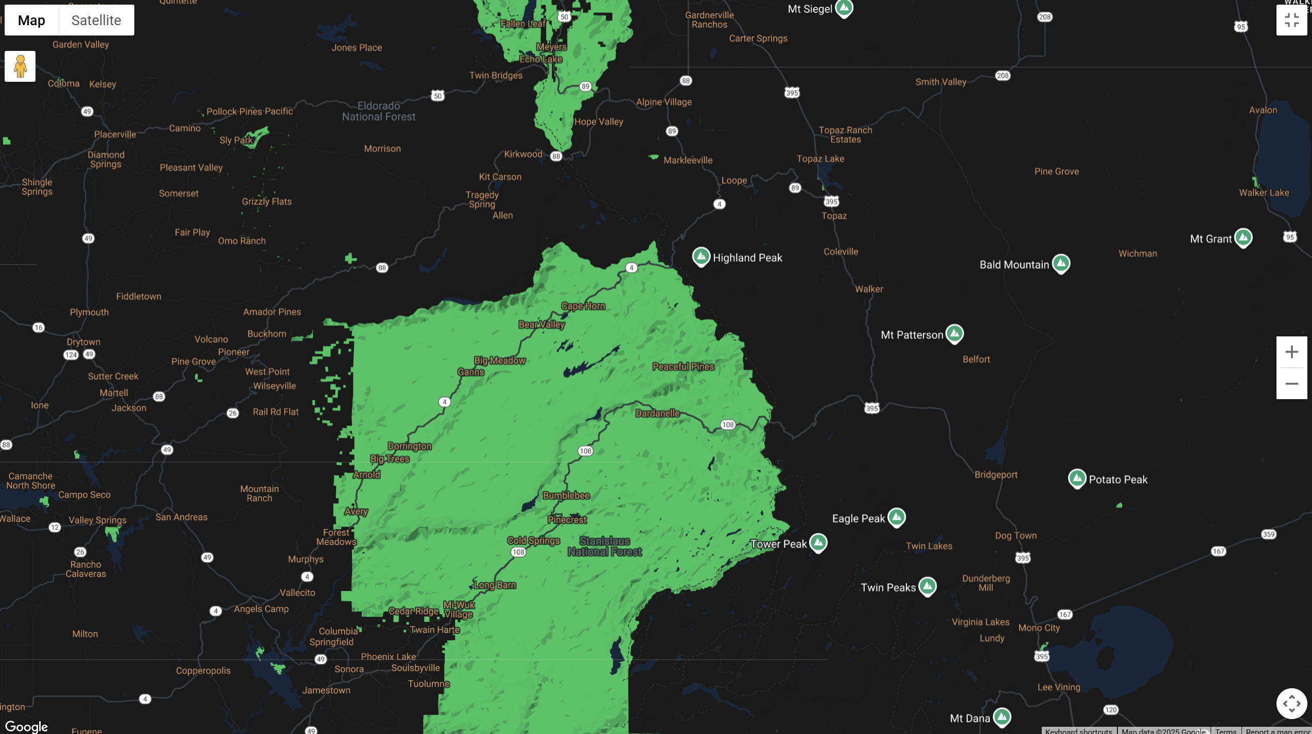
Green Route Navigator is a web application that redefines how users plan their journeys by prioritizing environmental impact. It allows users to input their origin and destination and instantly receive route options for driving, public transit, bicycling, and walking. For driving, it intelligently identifies and highlights the most fuel-efficient route using advanced algorithms. All routes are beautifully rendered on an immersive, interactive 3D map, providing a dynamic and engaging visualization of the journey. Users can quickly see estimated distance, duration, and for driving routes, an approximate CO2 emission footprint, empowering them to choose the greener path.
How we built it
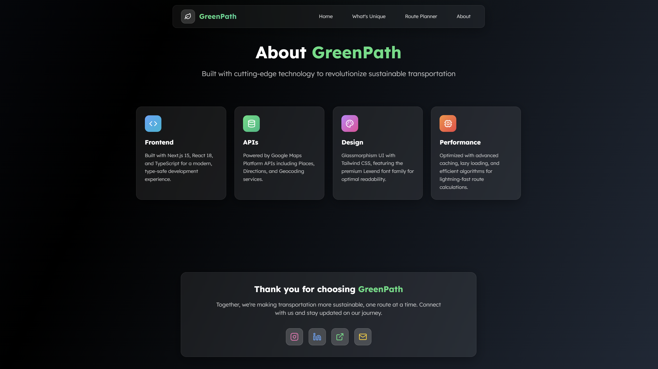
We built Green Route Navigator as a single-page web application using HTML5, CSS3, and JavaScript. The core of our mapping functionality relies heavily on the Google Maps Platform APIs. We utilized the Maps JavaScript API for rendering the interactive map, specifically employing the Map3DElement and a custom Map ID to achieve the immersive 3D visuals and tailored map styling. For route calculation, we integrated with the powerful Routes API, which allowed us to request and identify FUEL_EFFICIENT routes for driving. The Places API was crucial for providing a seamless user experience with intelligent address autocomplete in our input fields. The application was developed with a focus on modularity and clean code, ensuring responsiveness across various devices.
Challenges we ran into
One of the primary challenges was seamlessly integrating the 3D map visualization while maintaining smooth performance across different devices. Optimizing the camera controls and ensuring the route polyline rendered effectively in a tilted 3D environment required careful attention. Another significant hurdle was the nuanced implementation of "eco-friendly" routing beyond just driving; while the Routes API provides fuel efficiency for vehicles, translating this concept accurately for public transit, cycling, and walking (e.g., considering elevation, air quality, or shaded paths) presented a conceptual and data integration challenge that we simplified for this iteration. Additionally, managing API key security and understanding the nuances of Google Maps Platform billing for different API calls required diligent research.
Accomplishments that we're proud of
We are incredibly proud of successfully implementing the immersive 3D map experience, which brings a unique and engaging dimension to route planning. The ability to dynamically animate the camera along the route in 3D truly enhances the user's understanding and connection to their journey. We're also proud of the clean and intuitive user interface, which makes complex routing information accessible and easy to understand. Most importantly, we're proud to have built a functional tool that directly addresses a pressing social and environmental issue, empowering users to make a tangible difference in their daily commutes.
What we learned
Through this project, we gained a deeper understanding of the advanced capabilities of the Google Maps Platform, particularly the Map3DElement and the powerful Routes API for eco-friendly routing. We learned the importance of user experience (UX) design in driving behavioral change, realizing that making eco-conscious choices easy and visually appealing is key to adoption. We also honed our skills in optimizing web applications for performance, especially when dealing with rich geospatial data and dynamic rendering. This hackathon reinforced the immense potential of mapping technology to solve real-world problems.
What's next for GreenPath
For the future of GreenPath, we envision several exciting enhancements:
Advanced Emissions Reporting:Provide more detailed and comparative CO2 emission data, allowing users to clearly see the environmental savings of choosing eco-friendly routes over default ones. Personalized Eco-Profiles: Allow users to create profiles, save their preferred vehicle type (electric, hybrid, gasoline), and track their cumulative environmental impact over time. Community & Crowdsourcing:Integrate features for users to contribute data on local green infrastructure, such as bike lanes, EV charging stations, or community gardens, enriching the map's eco-data. Integration with Environmental Data: Explore integrating external APIs for real-time air quality, pollen counts, or even tree canopy coverage to suggest healthier walking and cycling paths. Mobile Application: Develop native mobile applications for iOS and Android to provide an even more seamless on-the-go experience.
Built With
- api
- github
- google-maps
- javascript
- react
- routes-api
- tailwind
- vercel

Log in or sign up for Devpost to join the conversation.