-
-
Greenify NYC
-
-
Project website: https://greenify-nyc.vercel.app/# Github: https://github.com/avani-anne/divHacks
By: Rania Khan, Dipika Dongerkery, Avani Anne
Greenify NYC aims to leverage community action to combat climate change and increase the number of community spaces in nyc. We want to encourage community building to create a positive social and physical impact. Greenify’s goal is 3-fold: create community, combat climate change, and catalyze change.
Who is it for? Greenify NYC is built for anybody who wants to catalyze change in their community! Whether you are a student who wants to make your neighboorhood a little more green, a young adult wanting to make some friends, an urban planner who wants to map out a space, or an elderly person who wants a fresh food garden, we got you covered!
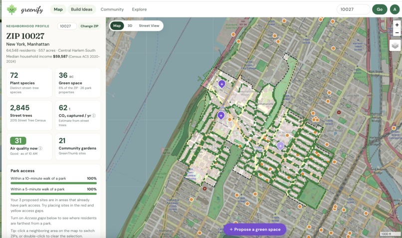
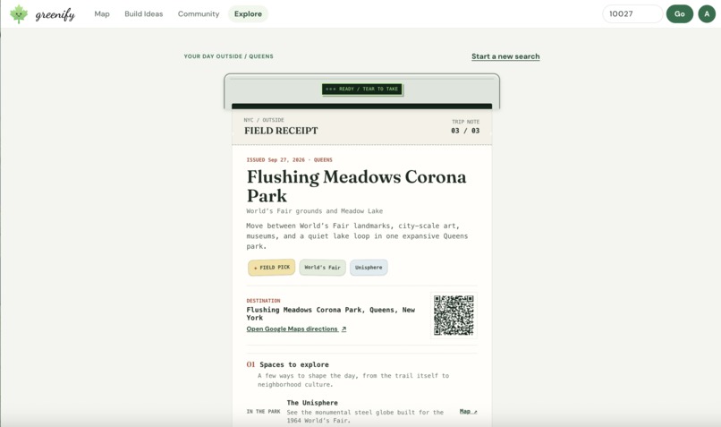
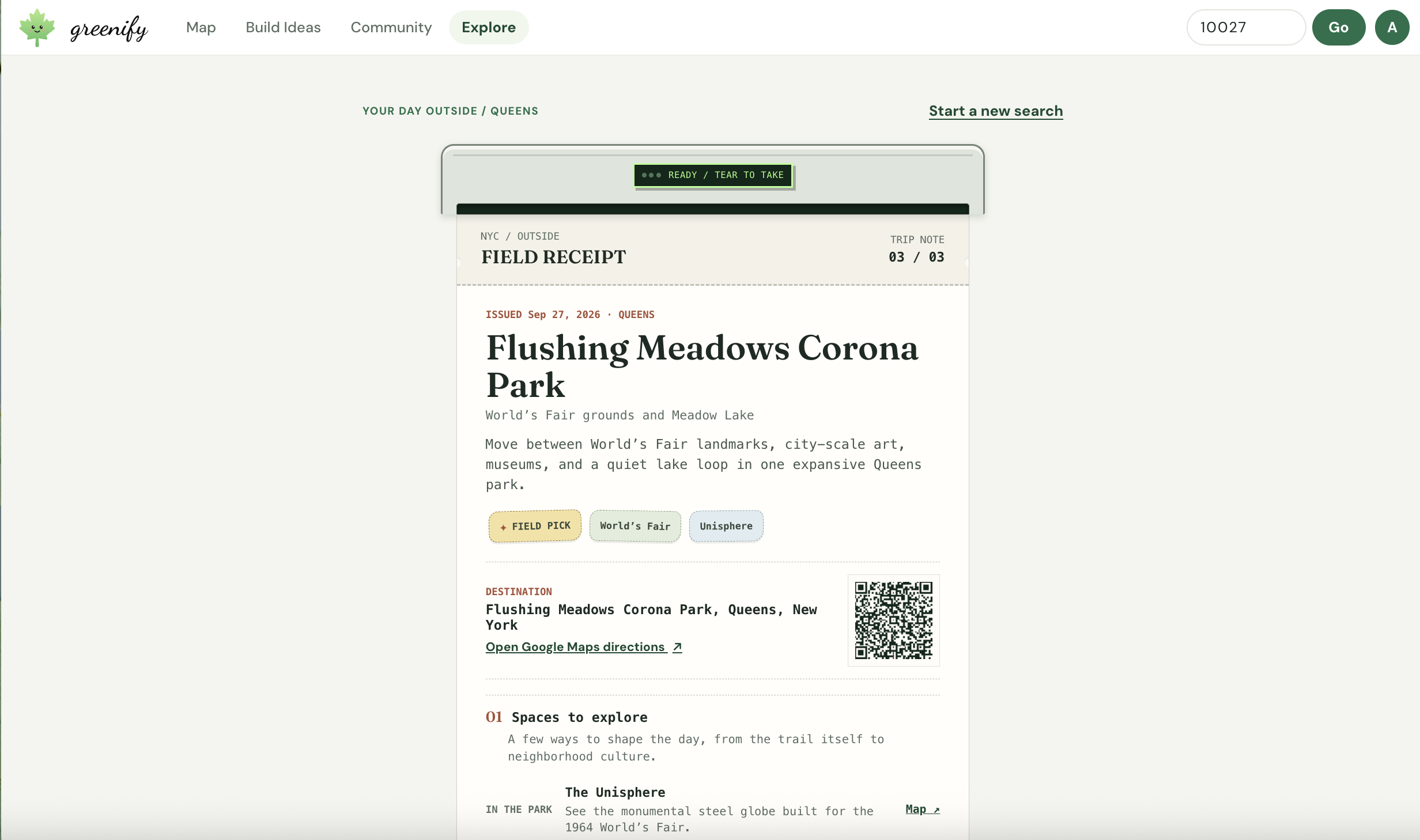
We have options to help all cases with our built-in map for analyzing the community, project imagination design box, and volunteer sign-up! We want to mobilize all the people who love their city and help make it easy for them to know where they can start to make a difference!
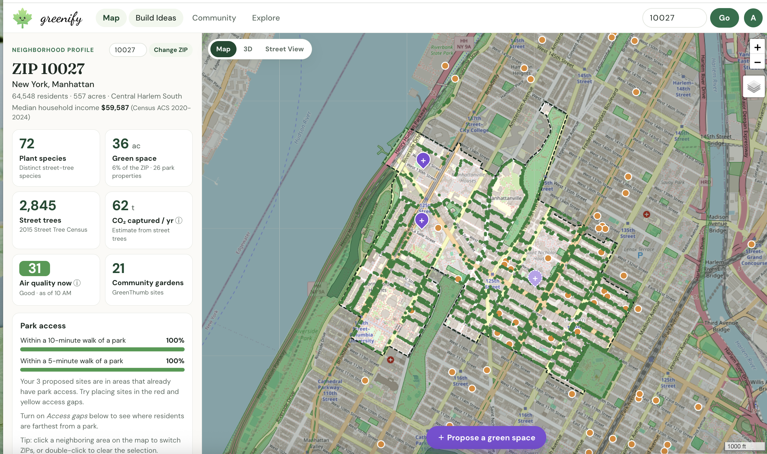
*How we built it? * We built Greenify NYC as a lightweight web app using HTML, CSS, and JavaScript, allowing it to load quickly and deploy directly to Vercel. Leaflet powers our interactive maps, while MapLibre GL with OpenFreeMap tiles creates our 3D building views. Google Street View lets users explore their neighborhood at street level. Our neighborhood insights come from more than a dozen NYC Open Data datasets, including NYC Parks, the Street Tree Census, GreenThumb gardens, PLUTO vacant lots, building footprints, and the City Planning Facilities Database. We combine these with Census income data, hourly air-quality data from Open-Meteo, and street-level imagery from KartaView. Turf.js performs our geospatial analysis directly in the browser. It clips parkland to ZIP-code boundaries, calculates residents’ walking distances to nearby parks to identify green-space access gaps, and estimates sunlight exposure using building heights to recommend suitable plants. Supabase provides authentication and community features through a PostgreSQL database. Row-level security enforces rules such as one signature per petition, while an Edge Function connects to Twi
Challenges we ran into: We ran into some challenges in narrowing our design. We were quite excited about many of the different ideas for our project, but we weren’t sure how to decide exactly which issue we wanted to address. We knew we wanted to combine climate and community, so after many iterations we were able to figure out exactly what project we wanted!
Accomplishments we are proud of: We are proud of our use of multiple different disparate datasets. We were able to integrate parks data, tree data, and current green spaces data to create our map layer on where current green spaces exist. We also added in air quality data and estimated CO2 consumption from trees data. Furthermore, we integrated vacant lots data and bus stop data to mimic where NYC has started to build green spaces. We also have data on building heights to figure out how much shade is in the area using solar geometry. We are proud of the way were able to merge a plethora of datasets into a holistic app that describes different areas and features of NYC.
What we learned: We learned how to leverage LLMs to turn different datasets into meaningful insight. We learned that proper ideation is the largest part of any project, but it is important to keep reassessing to ensure that you are targeting your audience. Furthermore, we are happy that we gained experience with tools like Supabase, Vercel, and NYC Open Data.
Built With
- claude
- javascript
- python
- supabase
- vercel


Log in or sign up for Devpost to join the conversation.