-
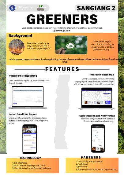
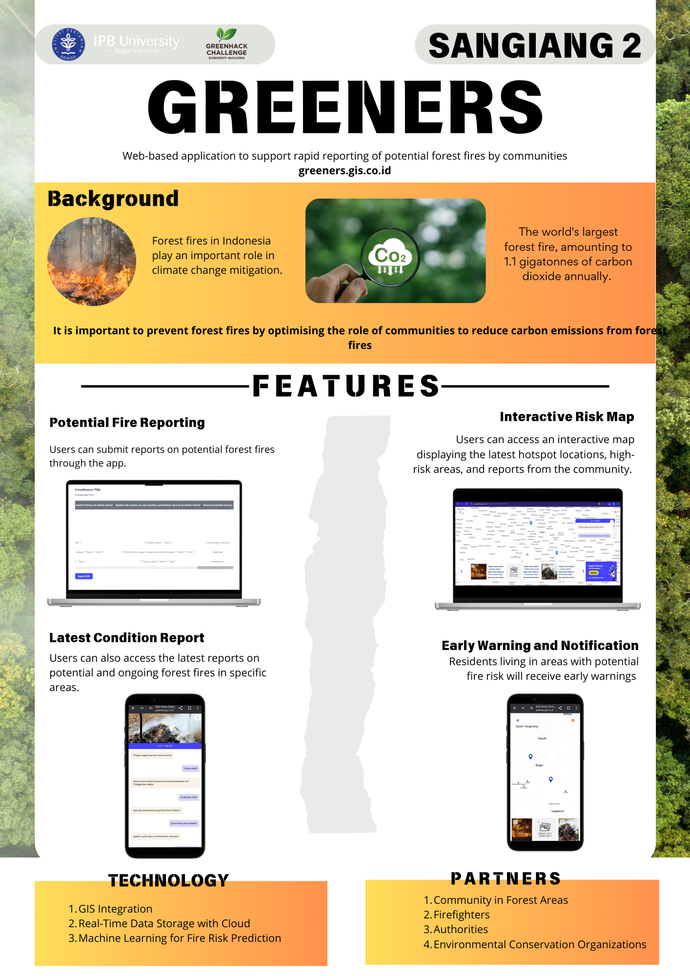
Greeners Poster
Inspiration
We were inspired by the urgent need for effective and rapid wildfire reporting that actively involves communities. A web-based technology enables broader participation, making early fire detection more feasible.
What it does
This web application allows communities to report potential fires accurately and in real time. Reports include a map location, photo, and brief description, which are instantly received by responders for swift action.
How we built it
We built this application using a web-based GIS platform integrated with an interactive map and reporting features. The backend supports real-time report submissions, while the frontend is designed for easy access by users.
Challenges we ran into
The main challenges included ensuring data accuracy in reports and overcoming connectivity issues in remote areas. Designing a user-friendly system for community use was also a significant task.
Accomplishments that we're proud of
We’re proud of creating a platform that is easy for communities to use and accurately transmits location data to responders. The prototype received positive feedback during field trials.
What we learned
We learned that community participation is crucial for effective wildfire reporting. Technical challenges in ensuring location accuracy also provided valuable experience in developing GIS-based applications.
What's next for greeners.gis.co.id Web-based application rapid reporting
In the future, we plan to expand this application by adding notification systems and automatic report integration for relevant agencies. We also aim to involve more community groups in testing to further enhance reporting effectiveness.
Built With
- canva
- gis
- gis-cloud
- google-drive


Log in or sign up for Devpost to join the conversation.