-
-
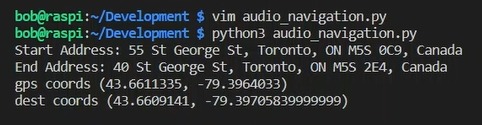
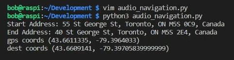
Start of Program
-
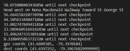
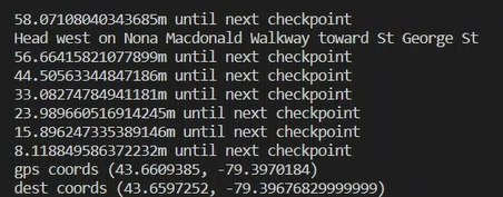
First Turn
-
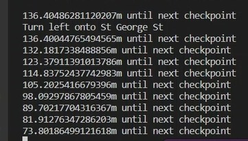
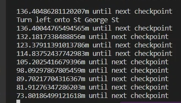
Second Turn
-
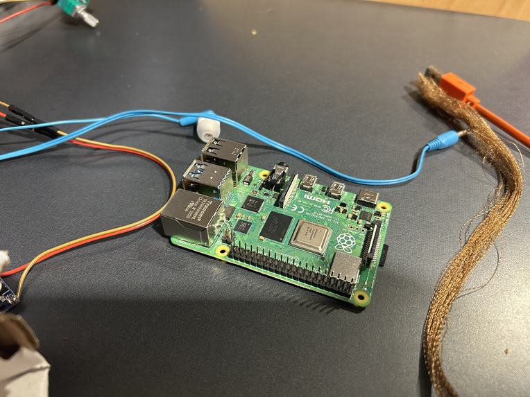
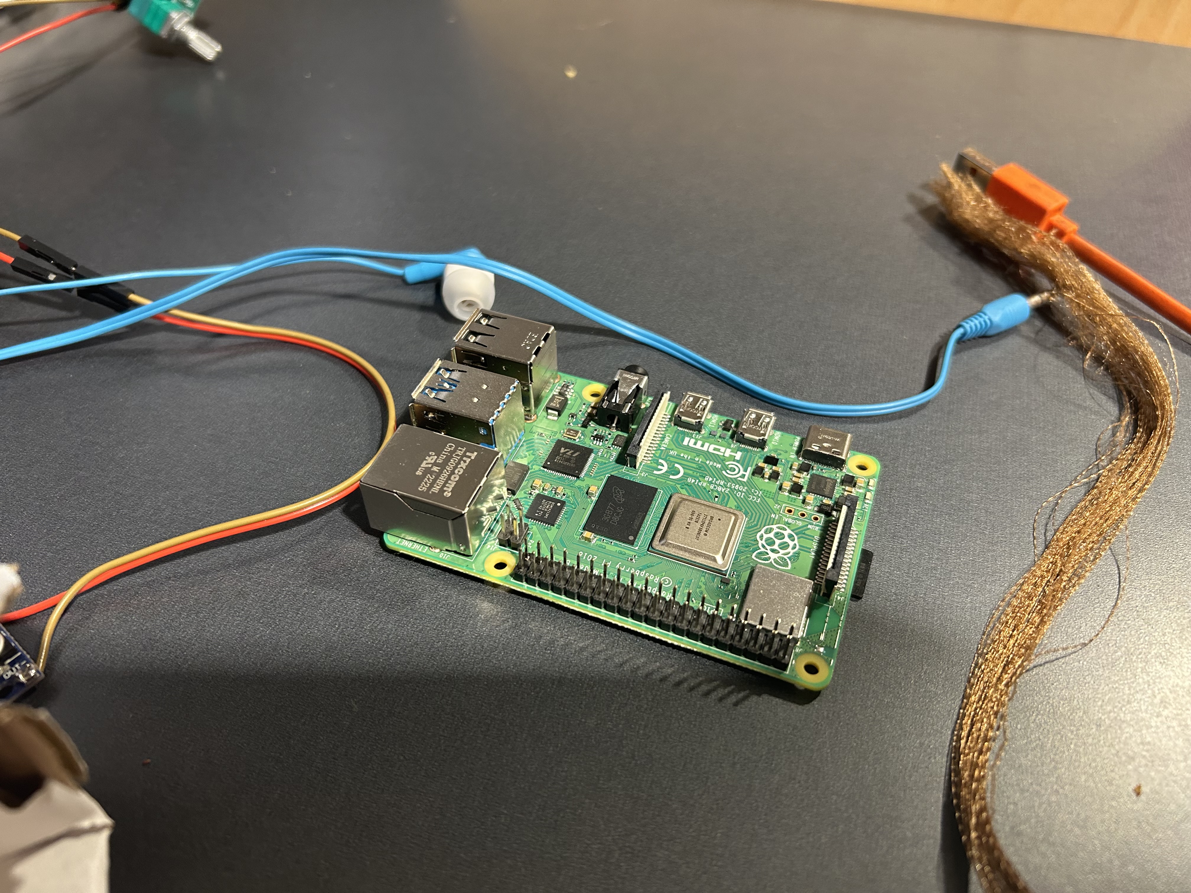
Raspberry Pi 4
Inspiration
When looking at the themes from the Make-a-thon, one specifically stood out to us: accessibility. We thought about common disabilities, and one that we see on a regular basis is people who are visually impaired. We thought about how people who are visually impaired navigate around the world, and we realized there isn't a good solution besides holding your phone out that allows them to get around the world. We decided we would create a device that uses Google Maps API to read directions and sense the world around it to be able to help people who are blind navigate the world without running into things.
What it does
Based on the user's desired destination, the program reads from Google API the checkpoints needed to cross in our path and audibly directs the user on how far they are from it. Their location is also repeatedly gathered through Google API to determine their longitude and latitude. Once the user reaches the nearest checkpoint, they will be directed to the next checkpoint until they reach their destination.
How we built it
Under a local hotspot host, we connected a phone and Google API to a Raspberry Pi 4. The phone would update the Raspberry Pi with our current location and Google API to determine the necessary checkpoints to get there. With all of the data being compiled on the microcontroller, it is then connected to a speaker through a Stereo Audio Amplifier Module (powered by an external power supply), which amplifies the audio sent out into the Raspberry Pi's audio jack. With all that, the directions conveyed to the user can be heard clearly.
Challenges we ran into
Some of the challenges we faced were getting the stereo speaker to work and indicating to the user the distance from their next checkpoint, frequently within the range of the local network.
Accomplishments that we're proud of
We were proud to have the user's current position updated according to the movement of the phone connected to the local network and be able to update the user's distance from a checkpoint in real time.
What we learned
We learned to set up and work with a Raspberry Pi 4 through SSH. We also learned how to use text-to-speech for the microcontroller using Python and how we can implement it in a practical application. Finally, we were
What's next for GPS Tracker for the Visually Impaired
During the hackathon, we were unable to implement the camera sensing the world around it to give the user live directions on what the world looks like in front of them and if they are going to run into anything or not. The next steps would include a depth camera implementation as well as an OpenCV object detection model to be able to sense the distance of things in front of you

Log in or sign up for Devpost to join the conversation.