-
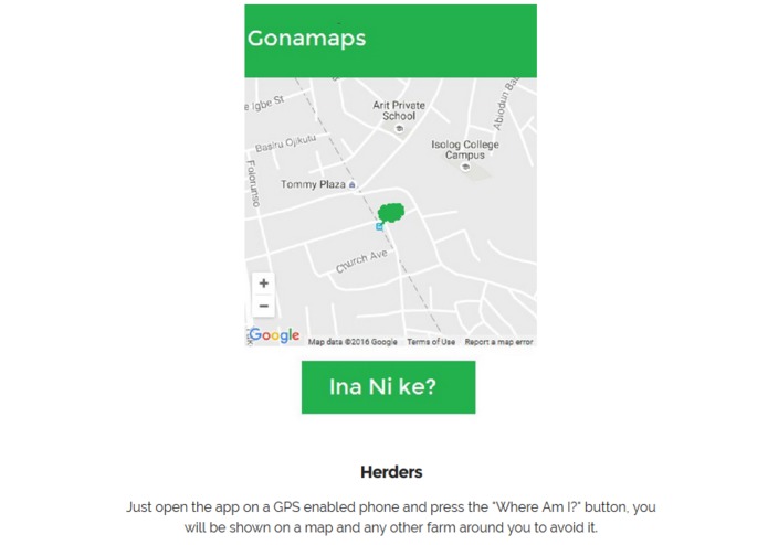
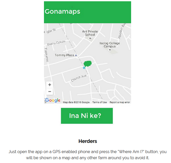
HERDSMEN
-
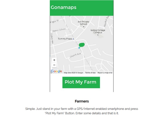
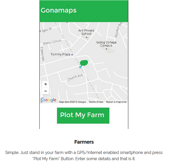
FARMERS
Inspiration
This application is inspired by the recent Fulani herdsmen crisis in Nigeria.
What it does
The application aids the farmer to plot his farmland location on the map, and the Fulani herdsmen view this locations and get guided on the routes and paths to avoid when they move around with there cattle. All the app does is get the longitude and latitude of a farmers present location and plots it on the map.
How we built it
This application is an android based application which works on GPS enabled devices.
Challenges we ran into
The major challenge is 75-80% of farmers and herdsmen have no knowledge of smartphones or don not even use one. This major limitation can be tackled where a farmer prints out the map after plotting and creating a signpost 300-500 meters from his farm.
Accomplishments that we're proud of
This application cache data in a situation where there is no network and posts immediately network is available. And is an application that translates to hausa for ease of use for both farmers and herdsmen.
What we learned
The GONAMAPS will only reduce but not completely eliminate the crisis between farmers and herdsmen, so there are upgrades which will most likely hold to revamp the application.
What's next for GONAMAPS
Implementation and Upgrades to increase its efficiency


Log in or sign up for Devpost to join the conversation.