-
-

logo1
-

program

Inspiration
As we are nearing the end of the pandemic, many businesses are struggling to reopen. To assist in this endeavor, and in future plans, we created GlobePoints.
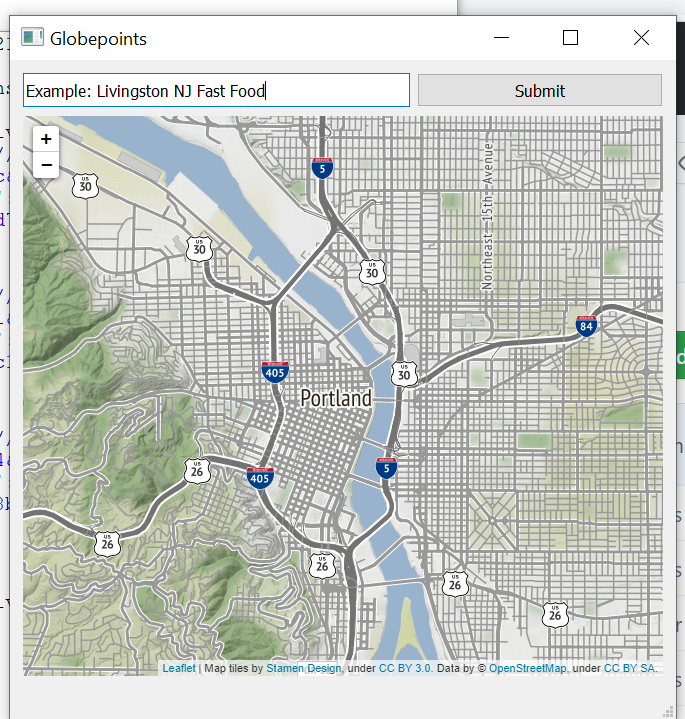
What it does
GlobePoints is a program that contains a map and a search query. When a location/query is inputted, the map will become covered with markers of varying color. These correspond with how busy the location is. Yellow corresponds with a low traffic, orange corresponds with average, and red corresponds with high. As one hovers over the markers with a cursor, they will also see additional information relating to that location.
How we built it
GlobePoints was built in python. It required two modules: folium (for the map and markers) and PyQt5 (for the GUI interface). GlobePoints also utilized multiple APIs: openweathermap's API, besttimeapp's foot traffic API, and National Renewable Energy Laboratory's solar radiation API.
Challenges we ran into
Folium was difficult to display in a normal GUI application. Eventually, after multiple failures and learning about object oriented programming, the map was finally displayed correctly. Some of the APIs were also difficult to use, with poor documentation and outdated functions.
Accomplishments that we're proud of
We learned a lot about JSON formatting and object oriented programming. We were also mostly happy about how the application turned out.
What we learned
We learned JSON formatting and object oriented programming. We also became more proficient in using APIs.
What's next for GlobePoints
We plan to implement an AI solution, in which bounding boxes will be used to scan traffic.
Built With
- besttimeapp
- folium
- nrel-national-solar-radiation-database
- openweathermap
- python

Log in or sign up for Devpost to join the conversation.