-
-
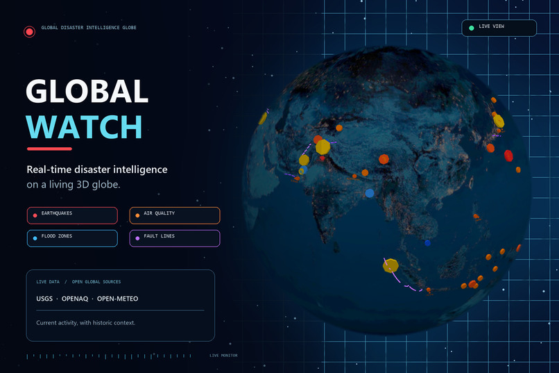
One interactive globe for live earthquakes, flood zones, fault lines, and historic disasters—with clear, rule-based activity alerts.
InspirationThe Problem
Most people don't have one easy, visual way to see real-time global disaster activity. News coverage of earthquakes, floods, and disaster risk is scattered across many sources, and there's no simple place to see current activity alongside historical context.
Who This Helps
Anyone who wants quick situational awareness of global disaster activity — students, researchers, journalists, or simply people curious about what's happening on Earth right now, in context.
What It Does
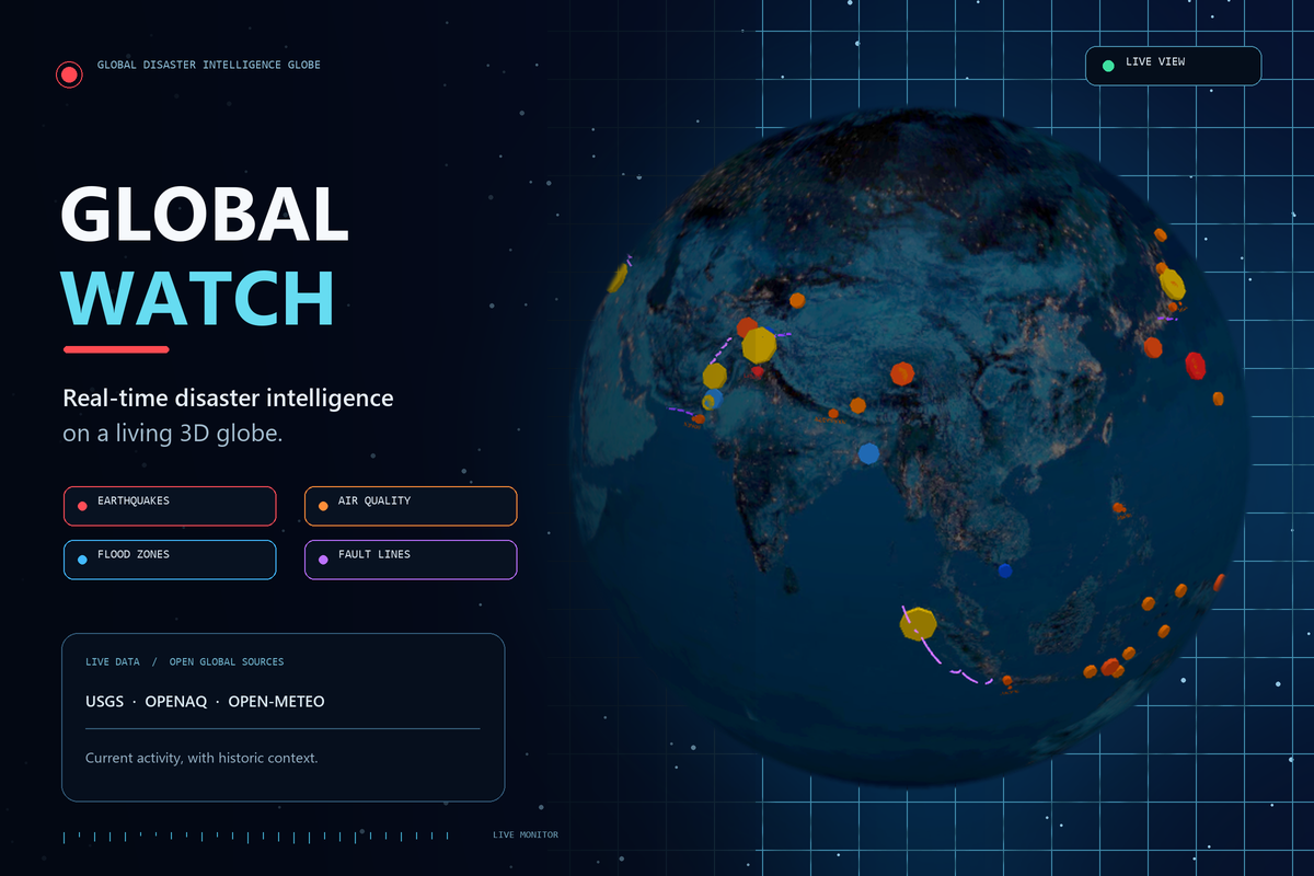
Global Disaster Intelligence Globe is a live, interactive 3D globe with toggleable data layers:
Live Earthquakes — real-time data pulled directly from the USGS (US Geological Survey) Fault Lines — major known fault lines worldwide Flood Risk Zones — major flood-prone river basins and deltas globally Historic Disasters — major past events for context (2004 Indian Ocean Tsunami, 2011 Tohoku, 2023 Turkey-Syria earthquake, and more) Elevated Activity Alerts — a transparent, rule-based feature that flags fault lines with multiple recent live earthquakes nearby. This is explicitly NOT a machine-learning prediction — it's an honest, explainable rule comparing real current data against known fault-line locations. How I Built It
Built with Python and Flask for the backend, and Three.js (WebGL) for the 3D globe rendering. All data comes from free, public APIs — USGS for earthquakes and Open-Meteo for weather — no paid services or API keys required.
Challenges I Faced
The main challenge was working reliably with live public APIs — handling cases where a data source doesn't respond, and building a fallback to simulated data so the app never breaks. I also worked to keep the new alert feature honest and clearly explained, rather than overstating it as a prediction system.
What I Learned
I learned how to integrate multiple live data sources into one real-time application, how to design transparent rule-based features instead of overselling them as AI predictions, and how to handle API reliability issues gracefully.
Tools, Technologies, and Credits Python, Flask Three.js (WebGL 3D rendering) USGS Earthquake API (free, public, live) Open-Meteo Weather API (free, public, live) Built and reworked with the assistance of Claude (Anthropic AI). This project builds on an earlier, Pakistan-focused version I had started, which was significantly reworked and expanded to be global, with the Elevated Activity Alert feature newly added, specifically for this submission.

Log in or sign up for Devpost to join the conversation.