
Inspiration
We were inspired by the alarming rise in digital stalking. Most people don't realize how much personal information they're unknowingly sharing through Instagram's location tags, photo metadata, and posting patterns. We wanted to create a tool that shows users exactly what a stranger could learn about them, empowering them to take control of their digital privacy.
What it does
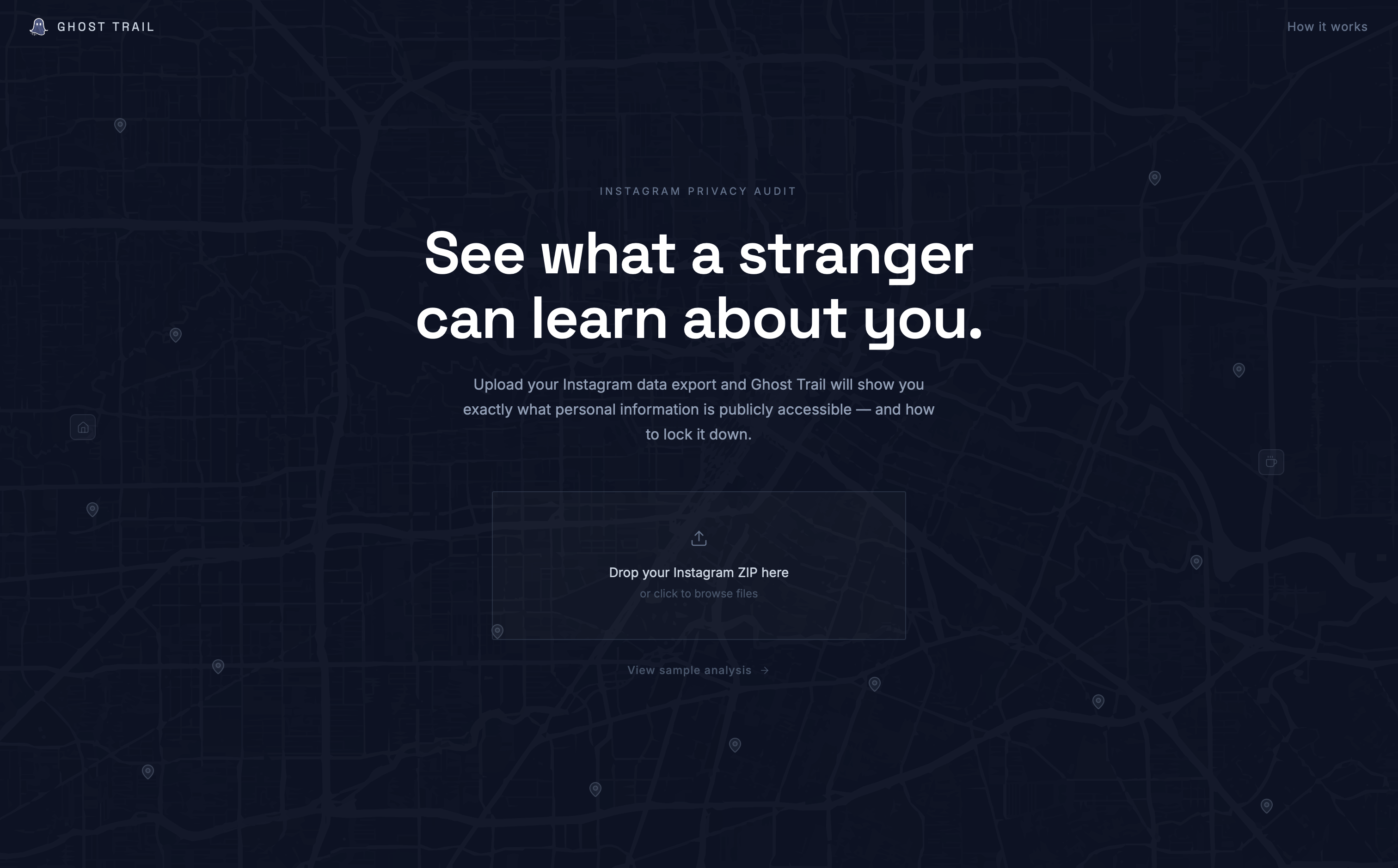
Ghost Trail analyzes your Instagram data export to uncover hidden privacy risks. After you upload the ZIP file of your social media profile data, we parse it entirely in your browser and extract location tags and photos from your posts. Geocoded locations are plotted on an interactive map, with color-coded pins showing where you post most frequently. Each photo is analyzed using Cloudinary AI to detect EXIF metadata, visible text (like street signs or badges), and recognizable objects or landmarks. The result is a visual privacy report that reveals exactly what a stranger could learn about your routines, habits, and whereabouts. Additionally, Ghost Trail provides personalized suggestions, like which posts reveal your home address, workplace, or daily routines, so you can make informed decisions about what to keep private and what to remove, helping you take control of your digital footprint.
How we built it
Frontend: React, Tailwind CSS, Leaflet Backend: Express.js, MongoDB, Cloudinary APIs: Nominatim
Challenges we ran into
One of the biggest challenges was finding a reliable way to perform AI-based image content analysis. We experimented with several tools and Cloudinary add-ons before settling on the Amazon Rekognition integration. Another challenge was learning how to properly integrate the add-on into our backend pipeline so that uploaded images could automatically be analyzed and tagged. It required some experimentation with the API and figuring out how to structure the requests within our Node/Express backend. We also had to design a system that could convert tags and metadata into geographic coordinates and then group those coordinates in a meaningful way to detect patterns in user behaviour.
Accomplishments that we're proud of
We are proud that we were able to build a working system that transforms scattered social media data into a visual representation of a user’s digital footprint. Our platform successfully analyzes images, extracts potential location clues, converts them into geographic coordinates, and displays them on a map to reveal frequently visited places and routines. We are also proud that the system processes user data locally in the browser whenever possible so that private account information is not stored by our backend. This helps keep the tool focused on improving user awareness and safety.
What we learned
Through this project we learned how to integrate third-party media and AI services into a backend pipeline, particularly using Cloudinary and image analysis tools. We also gained experience working with geocoding services, mapping libraries like Leaflet, and designing systems that transform unstructured social media data into meaningful insights. More broadly, we learned how small pieces of publicly shared information can combine to reveal much larger patterns, and how technology can be used to help people better understand and protect their digital privacy.
What's next for Ghost Trail
In the future, we would like to further leverage Cloudinary's analysis capabilities, as well as their facial recognition and blurring tools to aid users in blurring location giveaways, such as business names, flag license plates and street signs. We're also planning pattern recognition features, such as using machine learning to identify home and work locations based on posting times, detect predictable routines, and flag posts that reveal relationship status or social circles. Expanding to other platforms like Facebook and Twitter is on the roadmap.
Built With
- cloudinary
- express.js
- leaflet.js
- mongodb
- node.js
- nominatim
- react
- tailwind


Log in or sign up for Devpost to join the conversation.