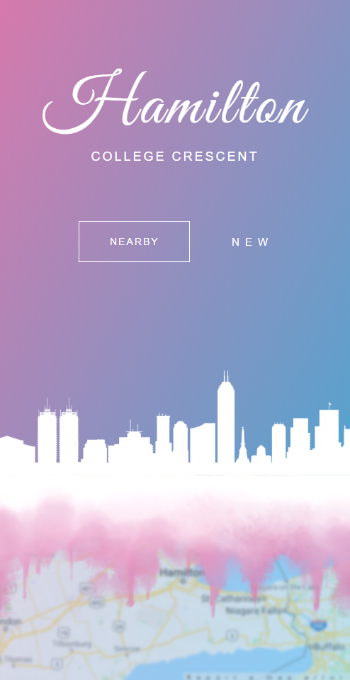
Inspiration
We have a ton of problems within our neighbourhoods, cities, and even country. Wouldn't it be nice to be able to address these problems and have your voice heard?
What it does
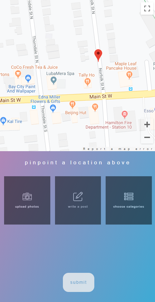
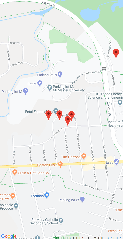
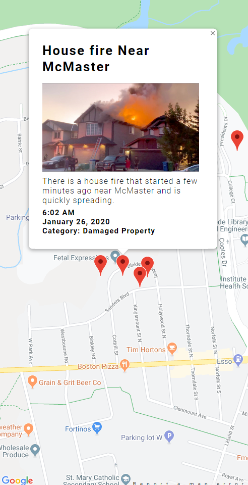
The user can either view occurring problems around their area or they can add their own issue to the map to have their concerns addressed. First, the user pinpoints an area on the map where the problem occurs, next they upload an image, give it a title, description and select a category for the problem. Once all these fields are filled, they hit submit and a marker appears on the map for their reported problem.
How we built it
We used Google Maps API for adding markers on the map and Firebase to store our data. The backend is built with Node.js and Express.js for routing.
Challenges we ran into
We ran into challenges configuring the Google Maps API and also parsing JSON correctly.
Accomplishments that we're proud of
We are proud of being able to design something appealing and also implement useful functionality in a very short period of time.
What we learned
We learned how to debug more efficiently and how to solve case-specific problems.
What's next for Geoware
We plan to add more features to Geoware such as better customization for their posts, upvoting so trending issues get more attention, and a list view of all issues with many sorting options such as by date posted or by upvotes.

Log in or sign up for Devpost to join the conversation.