
GeoVibe
Esri Hackathon 2024
Inspiration
GeoVibe was inspired by our experiences as social media users seeking authentic connections. We love to travel and often find ourselves guessing our friends' locations from their posts. This inspired us to create an app that combines the joy of discovery with the thrill of a game, encouraging users to explore new places and share their adventures in a more meaningful way.
What it does
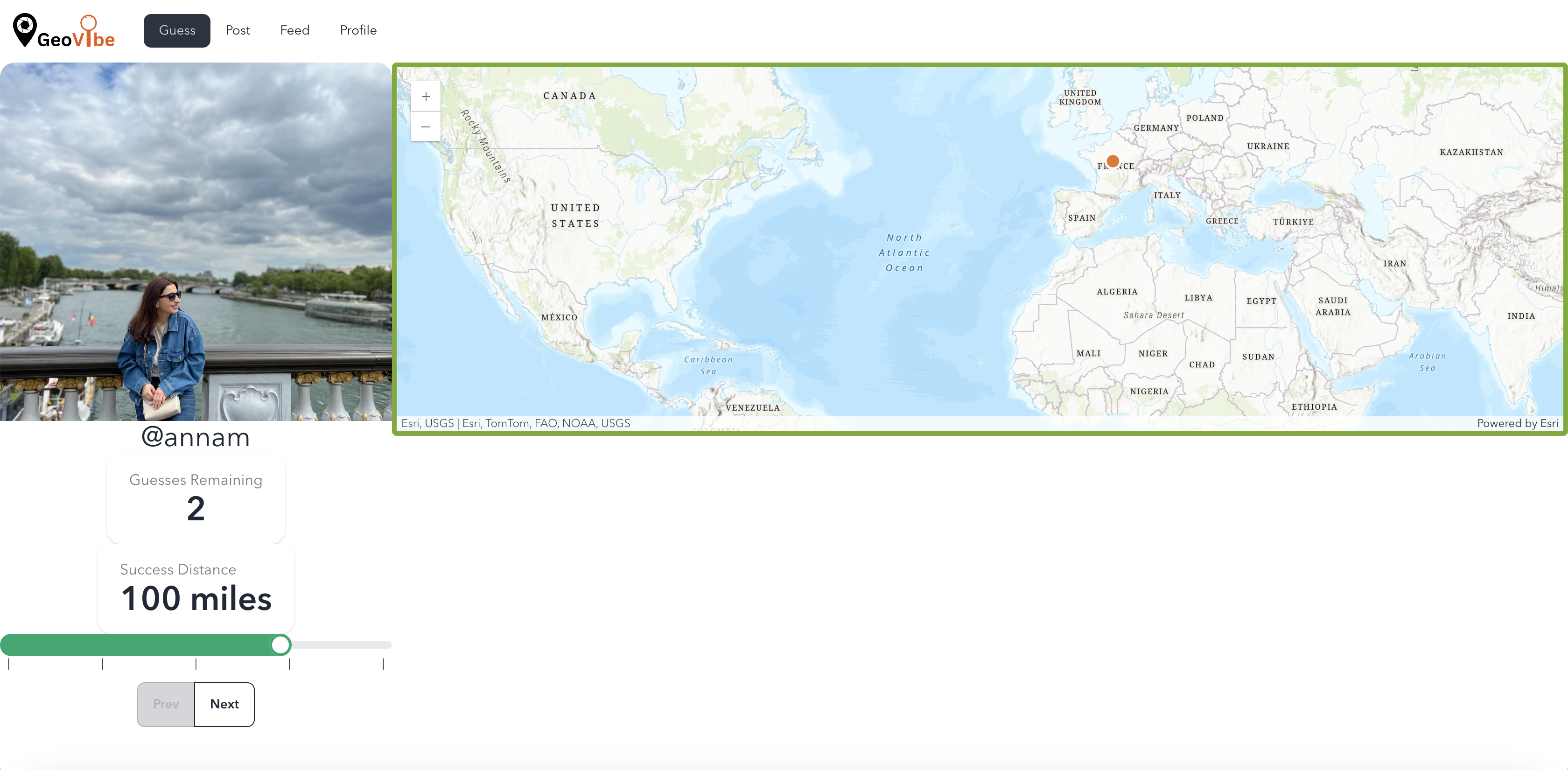
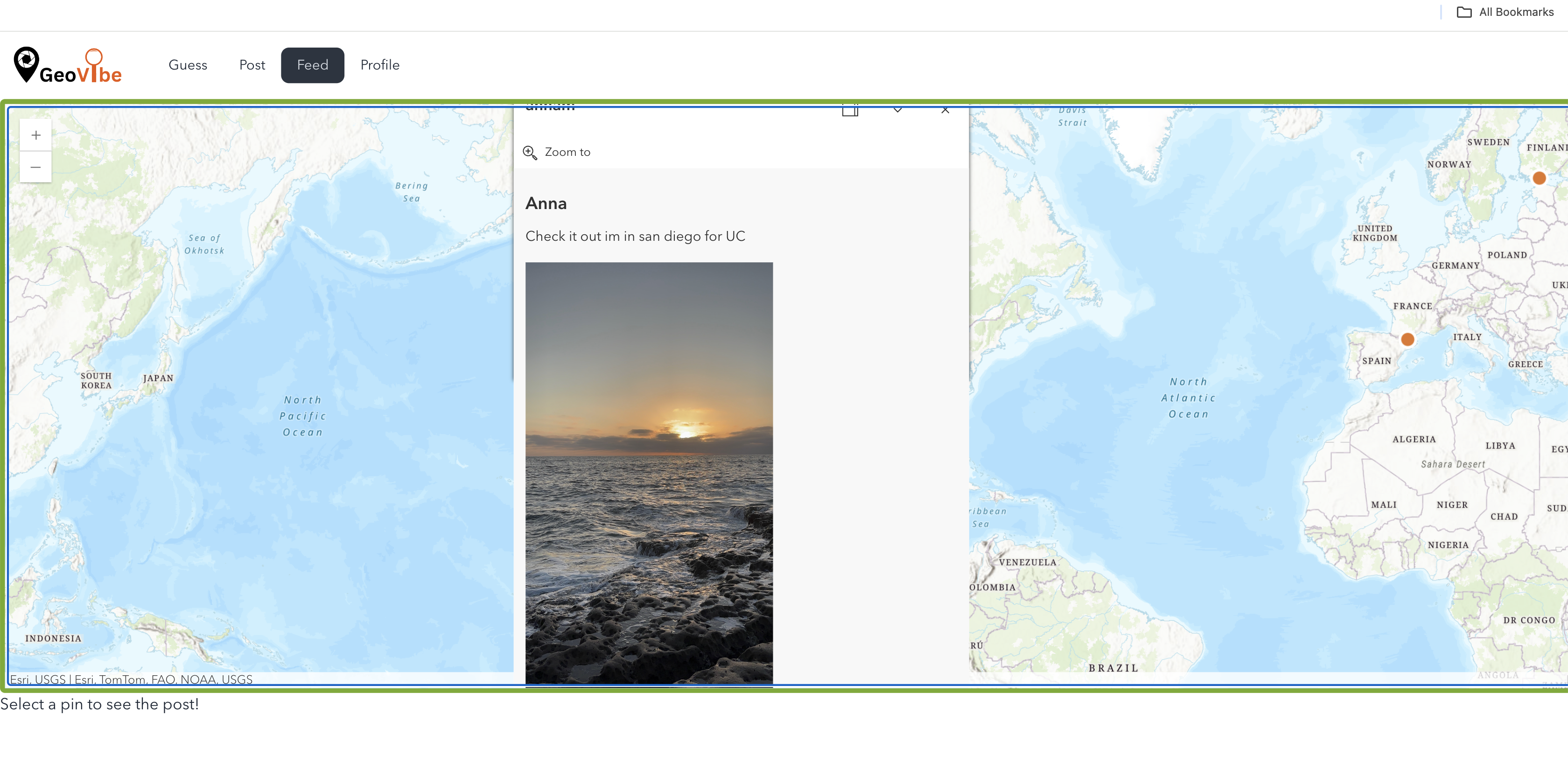
GeoVibe is a gamified social media app where users share geotagged images about their adventures. Friends can then guess where they are, adding to their stats for every correct guess. The app encourages users to explore new places and share their experiences, creating a dynamic and interactive platform for social engagement.
How we built it
We built GeoVibe as a responsive, accessible web application using Esri's ArcGIS technology to handle geospatial data and mapping features. The app's front end was developed using TypeScript and Next.js with Supabase as the choice for the backend for highly available read/writes and our familiarity with relational databases. This setup enabled for a seamless web experience while allowing for a quick, efficient project setup for development during the short time window for the hackathon. We used ArcGIS Maps SDK for JavaScript, MapServers and Feature Layers.
Challenges we ran into
The short timeframe of the weekend hackathon presented a significant challenge, as we couldn't fully realize the entire product we envisioned. Our software development team also encountered various bugs and technical challenges during the build due to our limited familiarity with the ArcGIS technology, which required extensive work to resolve in time for the demo. Optimizing performance for real-time location-based interactions and designing an intuitive interface were particularly challenging. In retrospect, we feel we spent half the amount of effort into resolving bugs, rather than working on features.
Accomplishments that we're proud of
We're proud of successfully integrating geospatial features with a user-friendly interface, making geography fun and accessible. Our team managed to develop a fully functional prototype despite the time constraints and technical challenges. We are proud that we went beyond our initial ideas and created an app that we enjoy playing.
What's next for GeoVibe
Looking forward, we plan to enhance GeoVibe with more competitive features, such as leaderboards with friends. We also plan to incorporate more geospatial features such as time-series, map bookmarks, and heat maps of posts. Our goal is to continue refining the user experience, and eventually launching GeoVibe to a wider audience.
Built With
- arcgismapssdk(javascript)
- esri
- next.js
- nextjs
- supabase
- typescript


Log in or sign up for Devpost to join the conversation.