-
-
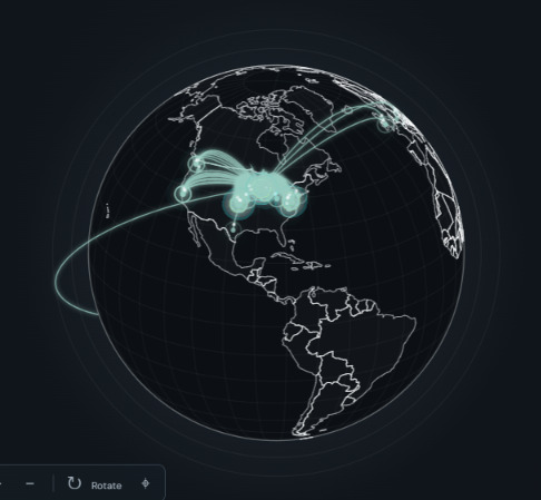
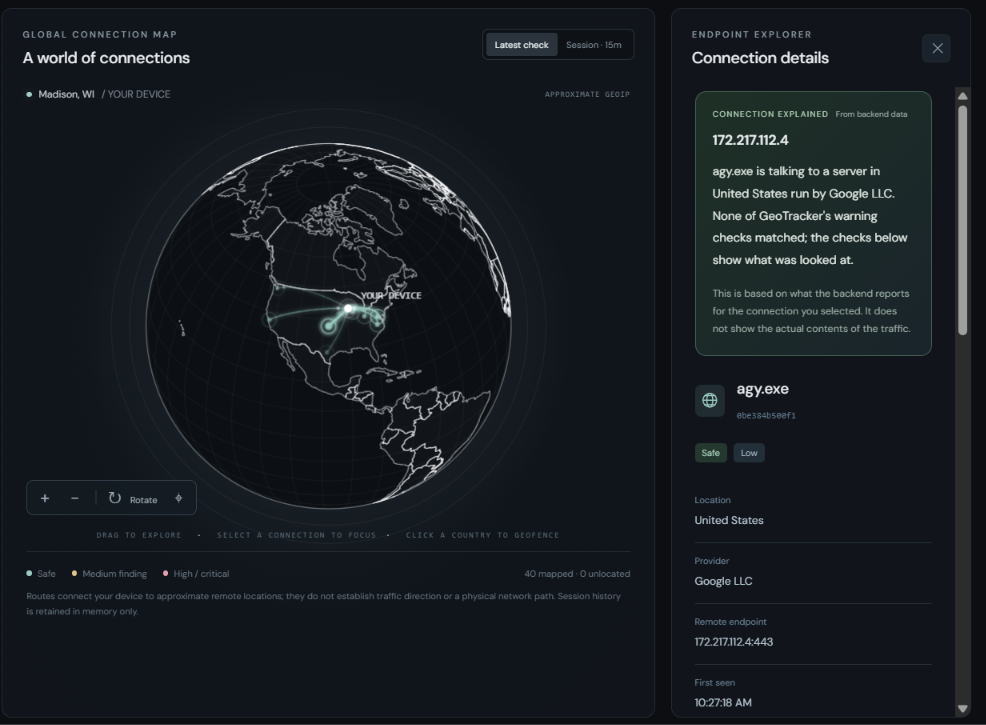
The Globe
-
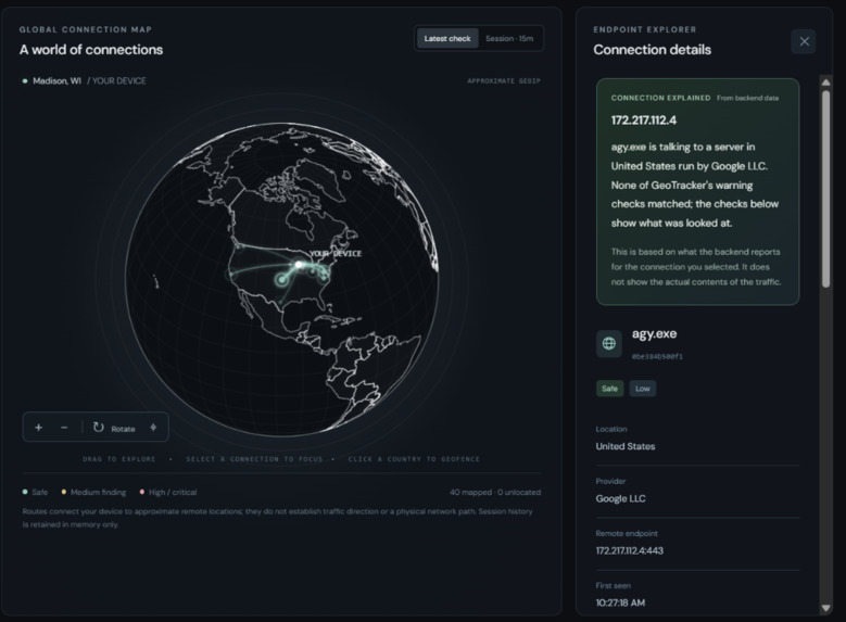
Network Process Descriptor
-
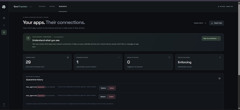
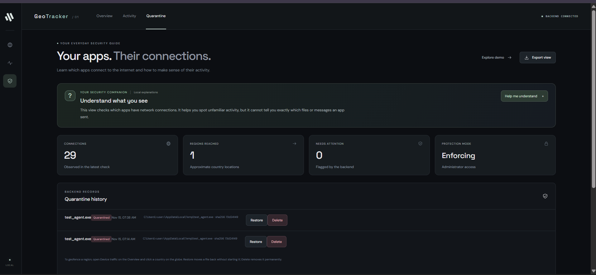
Quarantine Log
Inspiration
Going into this hackathon, we knew that we didn't know much about our network privacy. We also knew that network literacy, specifically in terms of what your device is doing on the internet, is something that needed to be taught more because controlling what data is shared and where matters in this data-driven age. Our goal was to create something to both teach people and help them understand their connections, and give them ways to take action in the short term.
What it does
This website provides a dashboard to show the user what parts of the world they are currently connected to, and which services are connected through it. This allows the user to visually explore what each service is doing on their device, and choose to act based on it. They can choose to "quarantine" themselves from that process, or more drastically, "geofence" themselves from an entire region.
How we built it
We used a Python backend to allow access to network details about the laptop, which includes outgoing packets as well as their relevant parent processes. The destination IPs taken from these parsed packets are then compared against the MindMax IP-to-Geography database to map an IP to a physical location. With this information, we can do geofencing by simply parsing all relevant entries by the found country and blocking it off. For the geofencer, it blocks off regions by putting up an internal firewall rule.
For quarantining, it moves the program into a separate folder while compressing it into a .quar file, which is a compressed version of the process saved and staged for deletion or restoration should we choose to do so. This is done using psutil in Python for OS-level commands.
Challenges we ran into
It was hard to get the geofencing up and running due to Windows admin permissions, especially since it is accessing an OS level behavior from a website.
Accomplishments that we're proud of
The globe was our personal favorite feature, as a cool way to show past data traces across all uses of the website.
What's next for GeoTracker
More methods of detailing end-to-end packet travel, and using an LLM to write out in a more human-friendly manner where your data is going and why.
Built With
- databricks
- html
- javascript
- npm
- python
- react
- vite
