-
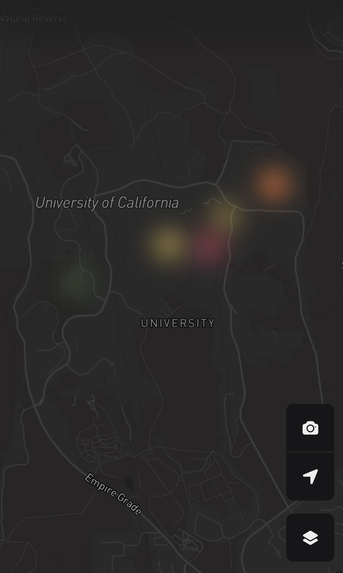
Main Map Interface

Inspiration
We have a group of friends that like to post pictures of banana slugs and other wildlife around UC Santa Cruz and circle the locations they were found in. So, we thought of an app that could display the locations of banana slugs and other beautiful animals around the area based on the pictures and locations that users send.
What it does
GeoSlug allows users to upload or take pictures of animals, add details about these pictures and their locations, and GeoSlug marks these animal sightings on a map. Other users get to see and filter through other users' animal sightings based on the species.
How we built it
The front end of the web application was built with SvelteKit, and the back end was mostly built with Firebase. The map feature was generated using the Mapbox library.
Challenges we ran into
Our main challenges were from the difficulty of integrating the front end and back end, like with authentication and the database.
Accomplishments that we're proud of
We are most proud of how the UI came out, and being able to deploy the web application.
What we learned
We learned more about the languages or tools we used, and more into how API's work.
What's next for GeoSlug
We are planning on improving GeoSlug's UI and web application features, as well as optimizing the back end. Other features include geolocation optimization and migration tracking. We may even include machine learning features to recognize animals.

Log in or sign up for Devpost to join the conversation.