-
-
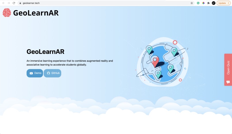
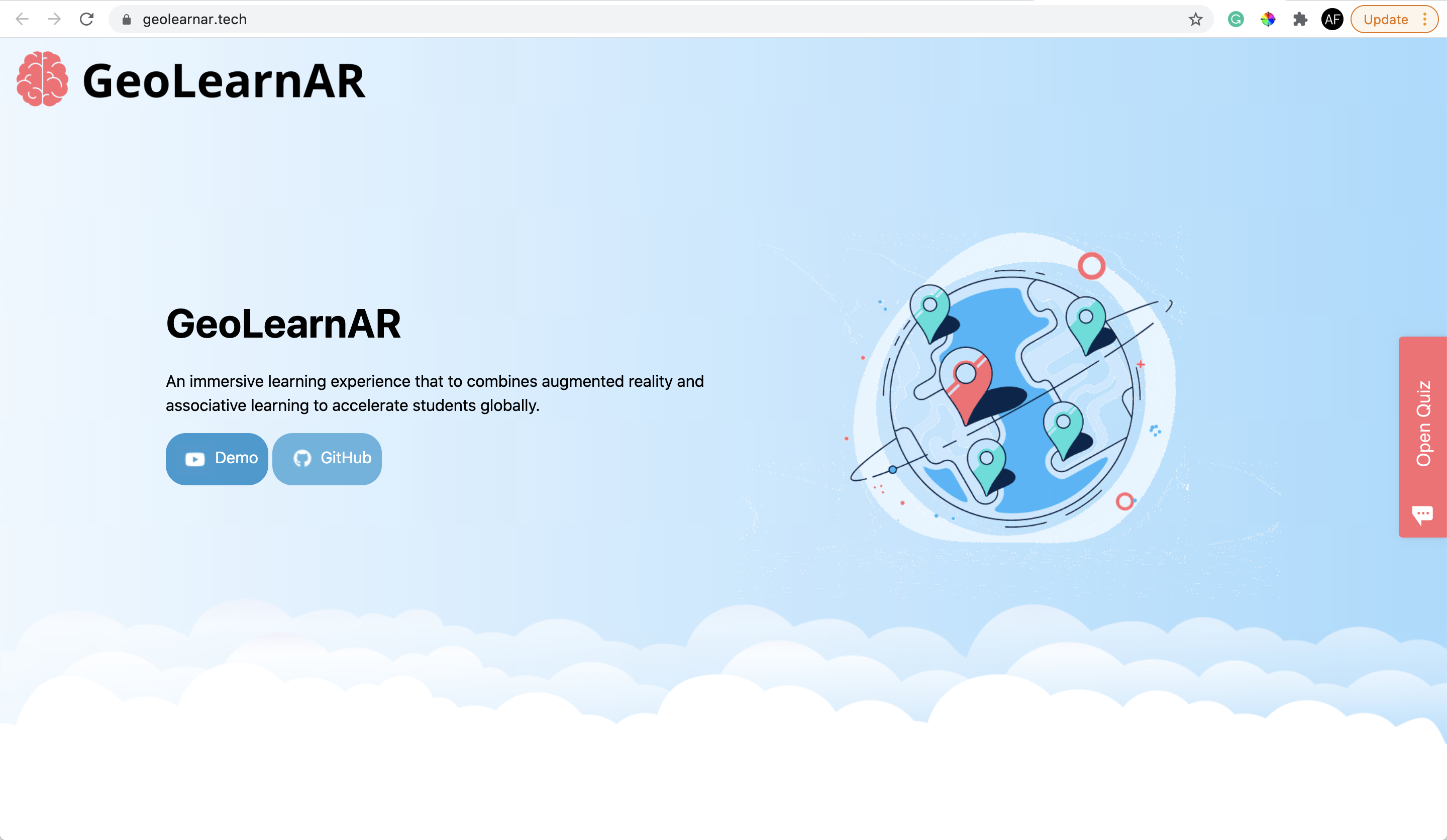
Landing Page
-
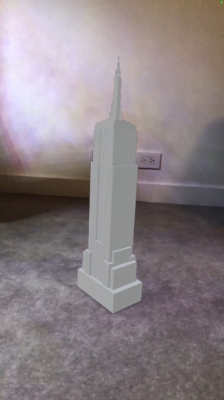
3D Rendering Empire State Building
-

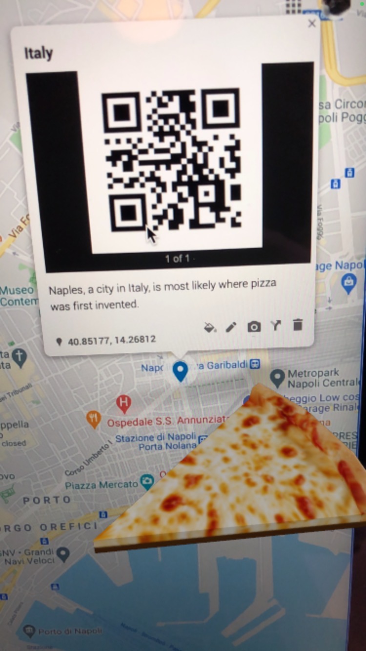
QR Code & 3D Rendering
-

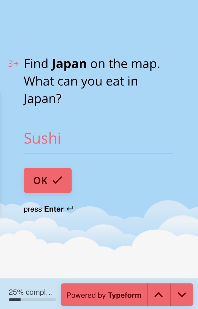
Quiz

Inspiration
During the pandemic, student absences have doubled, totaling to 3 million kids who aren’t attending school nationwide. Why? With the shift to virtual school, it has been harder for teachers to create an engaging learning environment and for students to stay focused on class while at home. So, we created GeoLearnAR, a web app that transforms learning by leveraging the immersive experience of augmented reality and associative learning techniques to keep students engaged at home.
What it does
GeoLearnAR provides a quiz that guides students through the GeoLearn map, prompting users to locate certain places on the map. The students are then presented with a QR code that renders a piece of that location’s culture into their very own room. On the quiz, the student must report that object, reinforcing the learning of the location with an associative object. This method is born from the technique of associative learning. A common example of this form of learning is negative and positive reinforcement, in which an action (stimulus) is linked with a response. The positive or negative response is then remembered before performing the action the next time. Our product associates certain objects with each location present in the map. Through this, we increase the chance that users will be able to connect facts about certain locations with the places’ location on the map. After locating 8 places on the map, the student has completed the quiz and can share the experience with their friends.
How we built it
We built this project using HTML and CSS, with an embed for our map and for the typeform quiz. The map integrates QR codes generated from EchoAR, a cloud-based 3D content management system meant for simple VR and AR application development.
Challenges we ran into
As it was our first time working with EchoAR, we spent a lot of time trying to use it along with Unity to generate our objects before finding the more elegant solution of putting the QR codes into the map embed. We also sometimes struggled with the limited library of objects on EchoAR’s platform, so we imported 3D renderings from other libraries such as Google Poly.
Accomplishments that we're proud of
We’re proud of creating an EdTech solution that is not only tailored specifically for our present when the education system is failing millions of students, further increasing the socioeconomic knowledge gap, but also uses AR to advance associative learning methods and is accessible for teachers to access and use.
What we learned
This was our first time working with AR/VR so we learned a lot about using EchoAR to render 3D objects and environments.
What's next for GeoLearnAR
In the future, we’d like to scale GeoLearnAR to include support for topics other than geography, widening our target demographic. Using VR, we could create environments for students to walk through history, such as Martin Luther King’s momentous “I Have a Dream” speech during the March on Washington for Jobs and Freedom in 1963. This idea could also extend to English and world language classrooms.
A second extension of GeoLearnAR would be expanding our library of quizzes to specific geographies, like a map of Asia, and implementing a user system for students to connect with another and compete on a scoreboard. Additionally, we could expand on the educator end by creating a product for teachers to create customized places on a map and quizzes, allowing them to teach their students through immersion of certain environments instead of through a Zoom screen.


Log in or sign up for Devpost to join the conversation.