GeoField Tracker 🌍📱


An offline-first, mobile-optimized spatial intelligence platform designed for seamless geospatial field data collection, visualization, and calculation in low-connectivity or zero-signal environments.
This platform serves as a direct technical capstone following my graduation from the Federal Government’s 3MTT Nigeria initiative under the DeepTech_Ready Program by Data Science Nigeria (DSN), building on certifications in Geospatial Data Science and Advanced Data Analysis and Visualization.
🚀 Live Application
Access the production build directly on your mobile device, tablet, or desktop: 👉 https://geofieldtracker.vercel.app/
To use as a native app on Android, open the link in Chrome, tap the menu, and select *"Install App"** or "Add to Home Screen".*
✨ Key Features & Capability Matrix
- Offline-First Architecture: Implements native browser Service Workers for comprehensive application-shell caching and IndexedDB for secure, long-term on-device data persistence. Data survives total connectivity loss and cold device reboots.
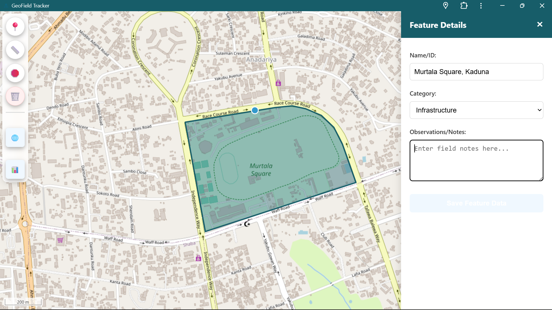
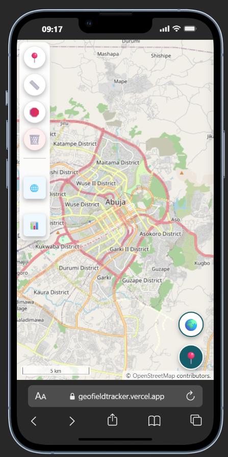
- Vector Digitization Toolbar: A lightweight, touchscreen-optimized UI enabling users to plot Point features (incident markers), LineString features (patrol routes), and Polygon features (agricultural farm bounds).
- On-Device Mathematical Engine: Utilizes geodesic spherical mathematics (
ol/sphere) to compute precise path lengths (m/km) and polygon areas (hectares) dynamically in real-time as the user digitizes bounds on screen. - Dynamic Attribute Mapping: Seamlessly binds operational metadata (custom feature names, categories, and granular field observation notes) directly into spatial geometries.
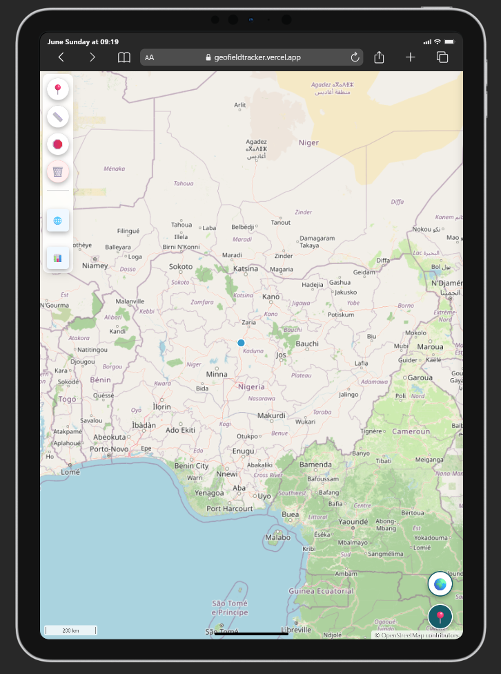
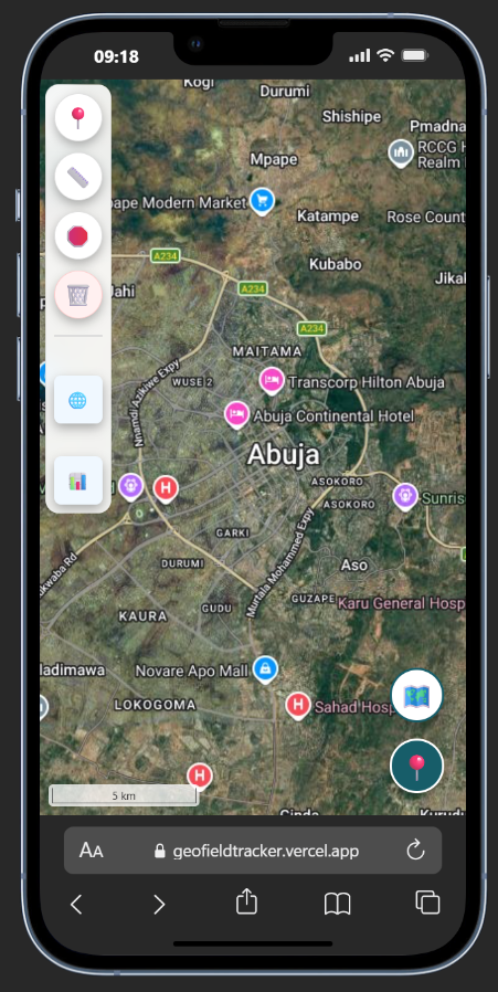
- Dual Baselayer Toggle Layer: Features an asset-optimized toggle layout allowing operators to seamlessly switch between standard OpenStreetMap vector tiles and high-resolution Google Hybrid Satellite views for maximum spatial context.
- Enterprise Interoperability: A built-in serialization pipeline for one-click structured data exports to standard GeoJSON (fully compatible with QGIS, ArcGIS, and Python data science workflows) and flat CSV data tables.
🛠️ Tech Stack & Engineering Core
- Bundler/Build Tool: Vite
- GIS Mapping Core: OpenLayers (ES6 modules)
- Frontend Architecture: Vanilla JavaScript, HTML5, Responsive CSS3 Grid & Flexbox (No heavy framework overhead)
- Storage Framework: IndexedDB,
localStorage - PWA Protocols: W3C Web Manifest (
manifest.json), Web Service Workers
📁 Repository Structure
geofield-tracker/
├── public/
│   ├── icons/                 # PWA Splash and App Icons
│   ├── manifest.json          # Web App Manifest Definition
│   └── sw.js                  # Service Worker Caching & Offline Protocols
├── src/
│   ├── css/
│   │   └── style.css          # Core Application Styles
│   ├── js/
│   │   ├── map.js             # Map Initialization & Layer Control
│   │   ├── geolocation.js     # Live Device GPS Tracking Engine
│   │   ├── draw.js            # Geometric Vector Drawing Interactions
│   │   ├── measurement.js     # Spherical Geodesic Math Calculators
│   │   ├── storage.js         # IndexedDB Persistence & Layer Recovery
│   │   ├── ui.js              # Sidebar Panels & Metadata Form Handling
│   │   └── export.js          # GeoJSON & CSV Data Export Engine
│   └── main.js                # Core Lifecycle Application Bootstrapper
├── index.html                 # Main App HTML Shell
├── package.json               # Build Pipelines & Package Manifest
└── vite.config.js             # Optimized Production Compiling Options
Built With
- css
- html
- javascript
- openlayers
- vercel
- vite


Log in or sign up for Devpost to join the conversation.