Inspiration
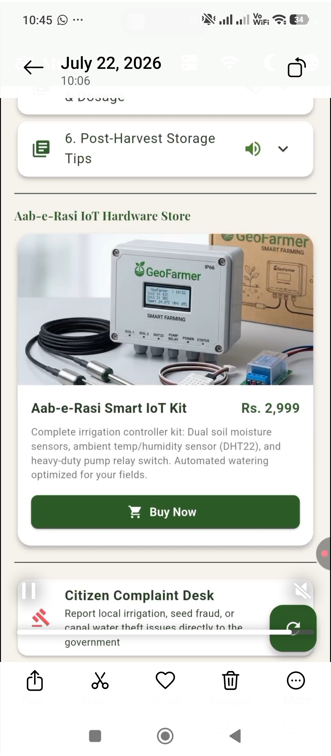
Agriculture is the backbone of Pakistan's economy, yet millions of smallholder farmers still make critical decisions without access to reliable, real-time information. While large agricultural businesses can afford expensive precision-farming systems, small farmers often rely on experience, guesswork, and traditional methods to detect crop diseases, manage irrigation, and decide when to sell their produce. We wanted to change that. Our inspiration came from a simple question: What if a farmer with a $5 sensor kit and a basic smartphone could access the same agricultural intelligence as a commercial farm with a $50,000 precision-agriculture system? That question became GeoFarmer. We envisioned an affordable, intelligent farming companion that doesn't just display complicated charts but actually understands field conditions, identifies problems, recommends solutions, and communicates with farmers in their own language. Our goal is to make precision agriculture accessible to the farmers who need it most, starting with Pakistan.
What it does
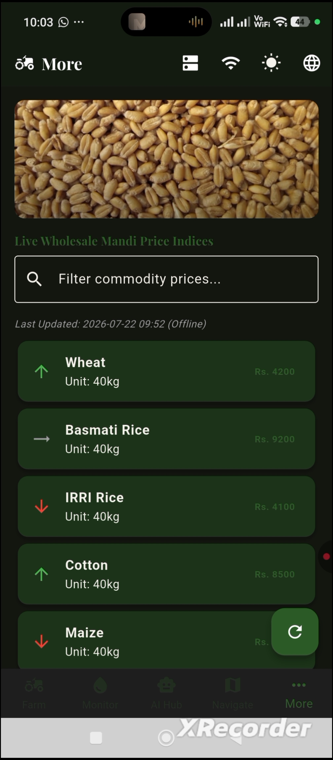
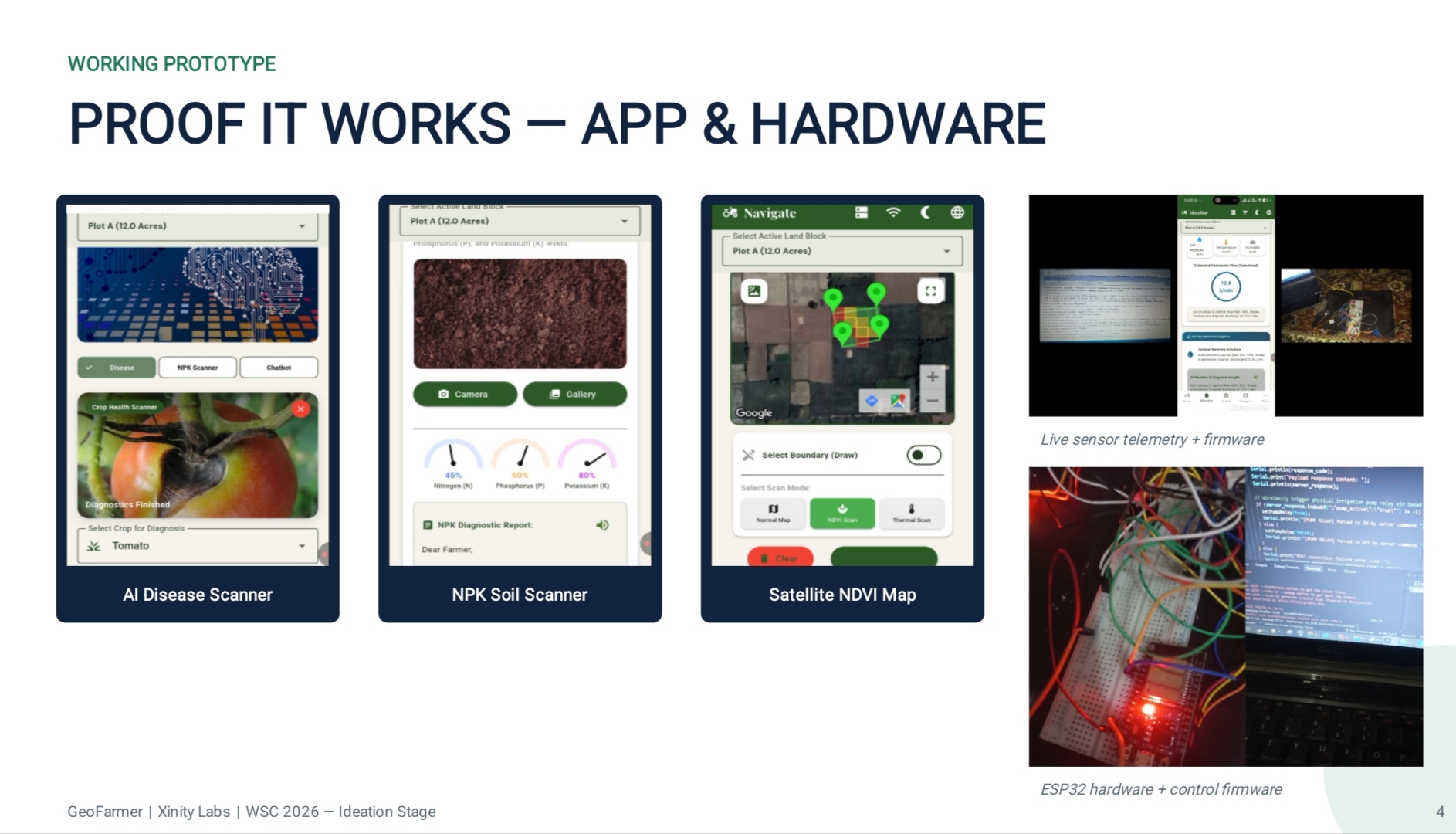
Bilingual Voice Assistant: A Google Vertex AI-powered assistant answers agricultural questions in Urdu and English, making agricultural guidance more accessible regardless of literacy level. AI Yield Estimator: Predicts expected harvests using crop type, cultivated area, and historical soil information. Live Mandi Prices: Provides wholesale commodity prices to help farmers make more informed selling decisions. Offline Farming Tools: A financial ledger, bilingual agronomy guide, and scheduled farming reminders remain accessible even without an internet connection. What makes GeoFarmer different is its agentic approach. Instead of simply collecting agricultural data, it connects sensing, AI reasoning, and practical actions in one platform.
How we built it
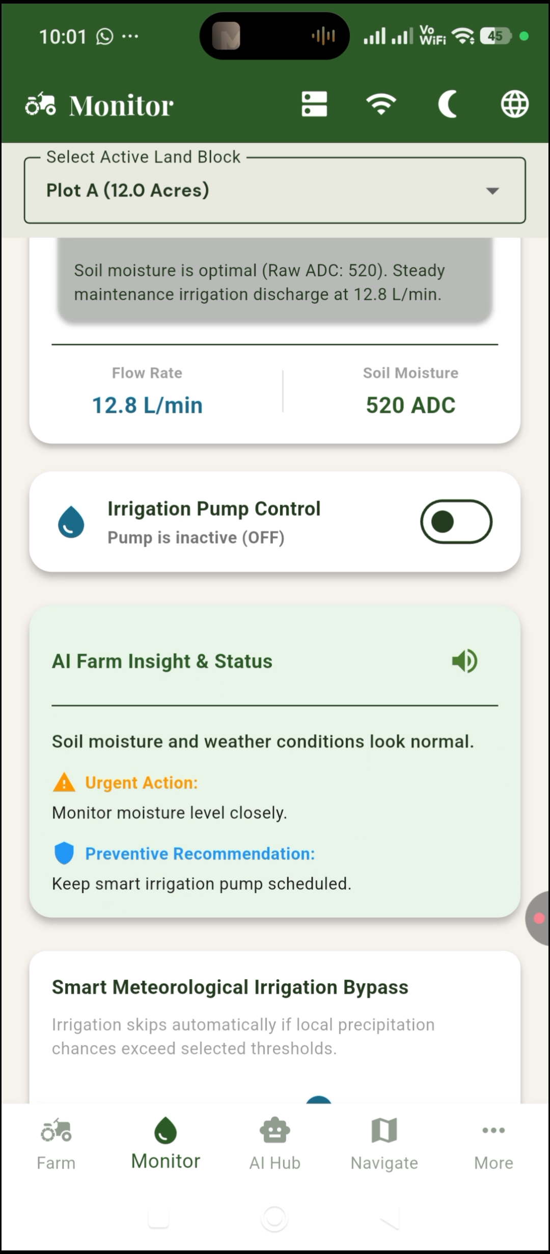
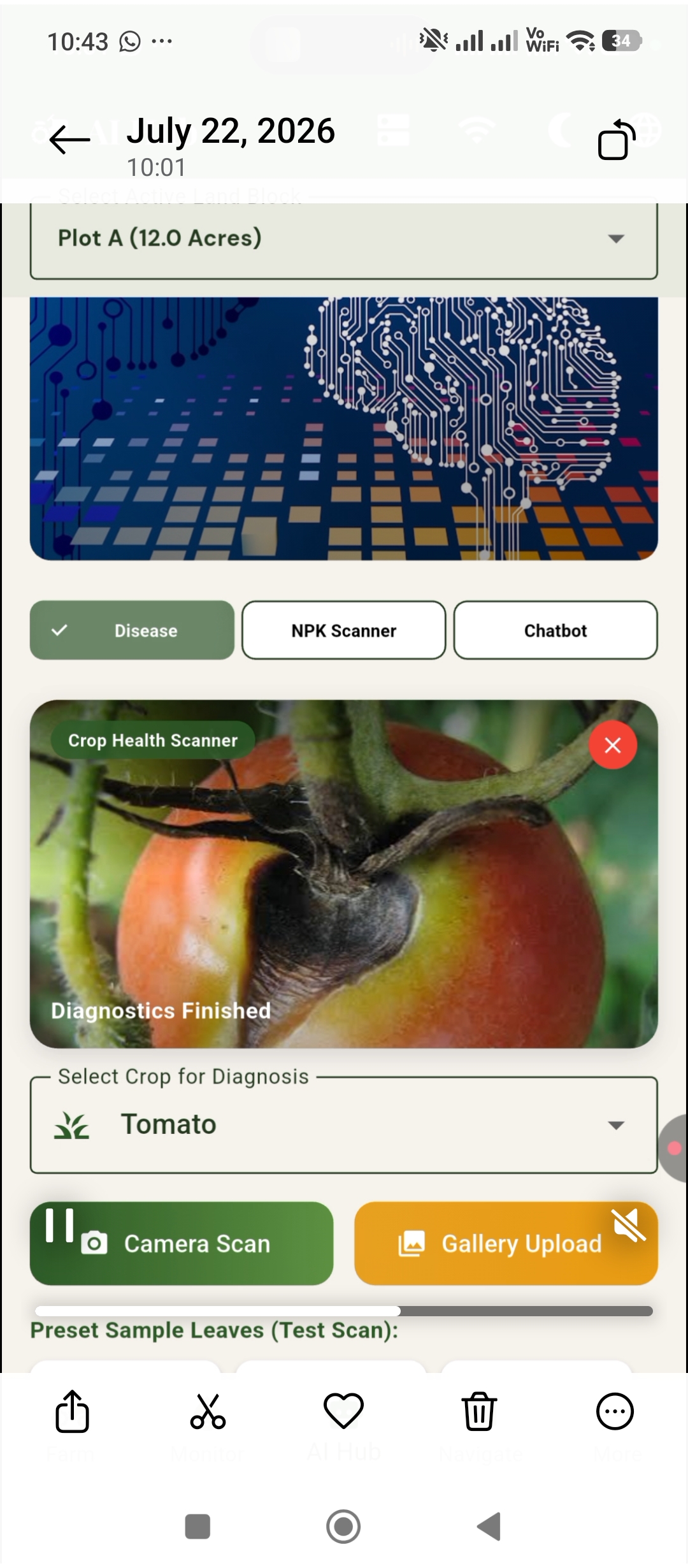
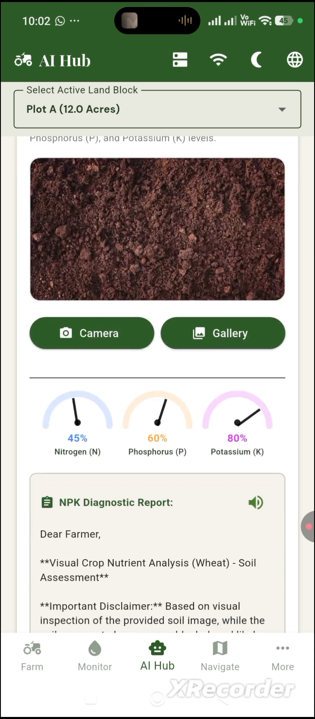
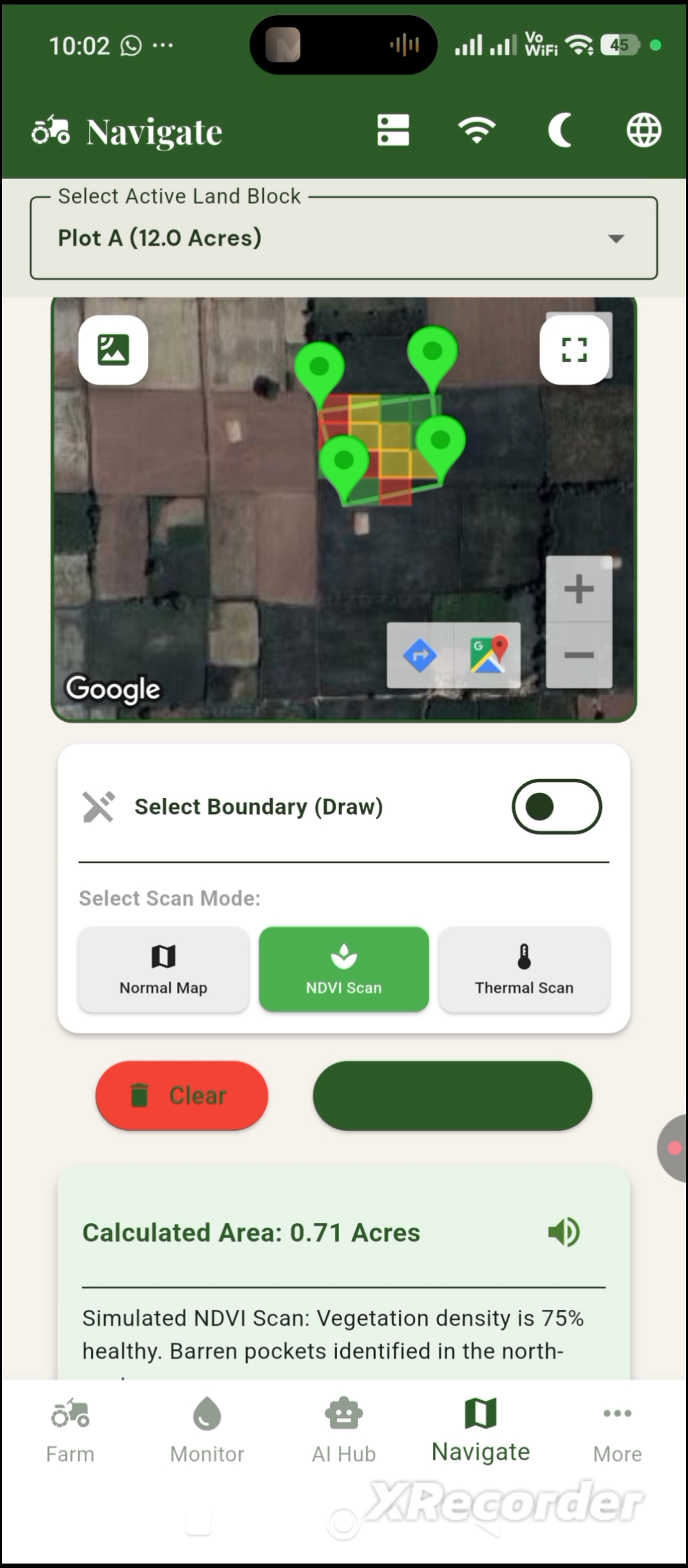
- Developing the Android application We brought everything together in a mobile application featuring live monitoring, AI-powered scanning, satellite mapping, yield estimation, mandi prices, and financial management. We adopted an offline-first architecture with local caching and cloud synchronization to accommodate the unreliable internet connectivity common in rural agricultural areas.
Challenges we ran into
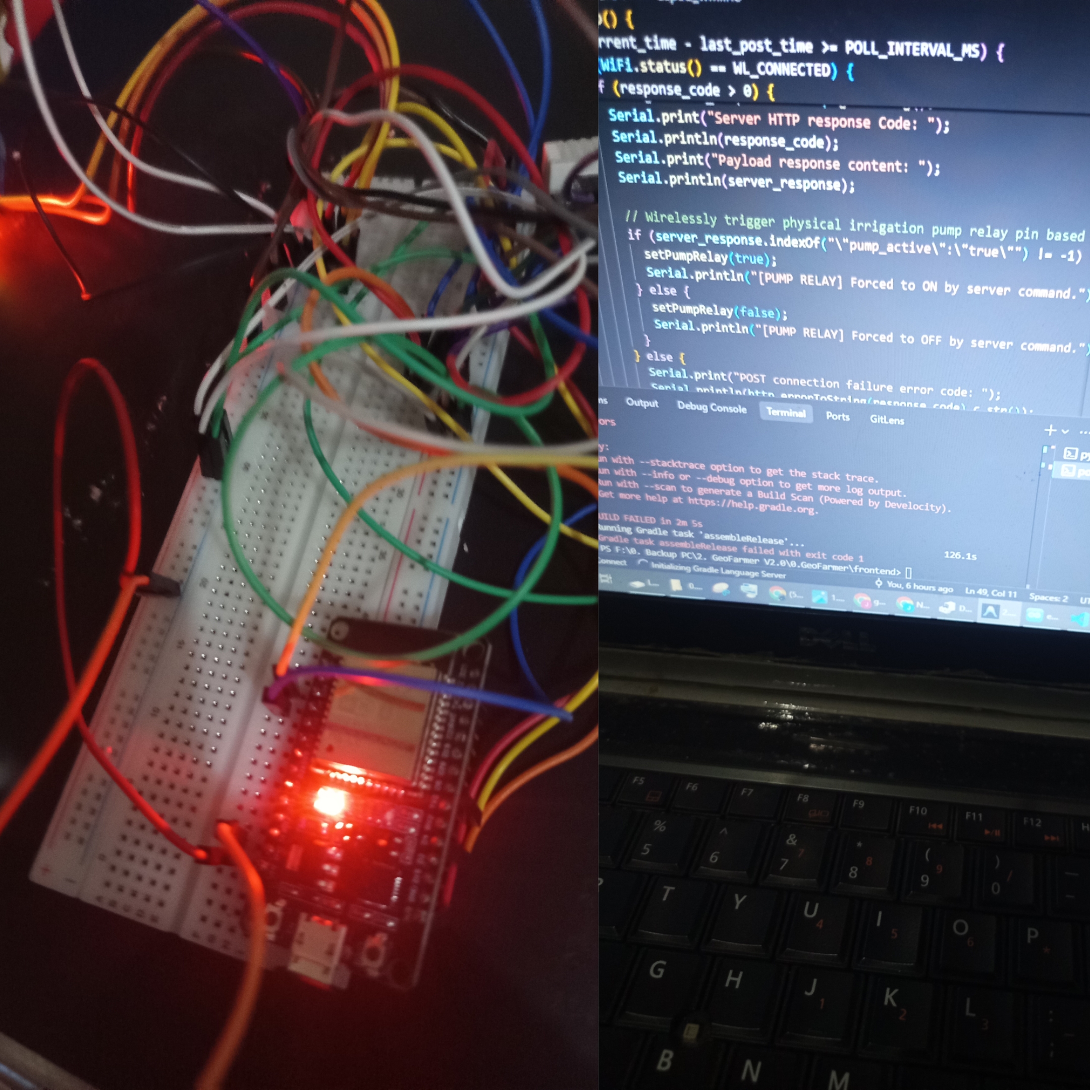
Connecting ESP32 telemetry, FastAPI, computer vision, Google Vertex AI, Google Earth Engine, and an Android application required coordinating several different data formats, APIs, and communication workflows. Making satellite data useful Satellite imagery is powerful, but raw NDVI values are not particularly meaningful to an average farmer. Translating vegetation indices into an understandable field-health visualization was an important design challenge. Designing for rural connectivity Many of our intended users experience unreliable or limited internet access. We therefore had to consider which features could operate locally and which required cloud connectivity. Making AI accessible in Urdu Agricultural terminology can be difficult to communicate, especially when translating technical disease diagnoses and treatment instructions. We focused on making the assistant conversational, bilingual, and understandable to farmers without requiring specialized agricultural knowledge.
Accomplishments that we're proud of
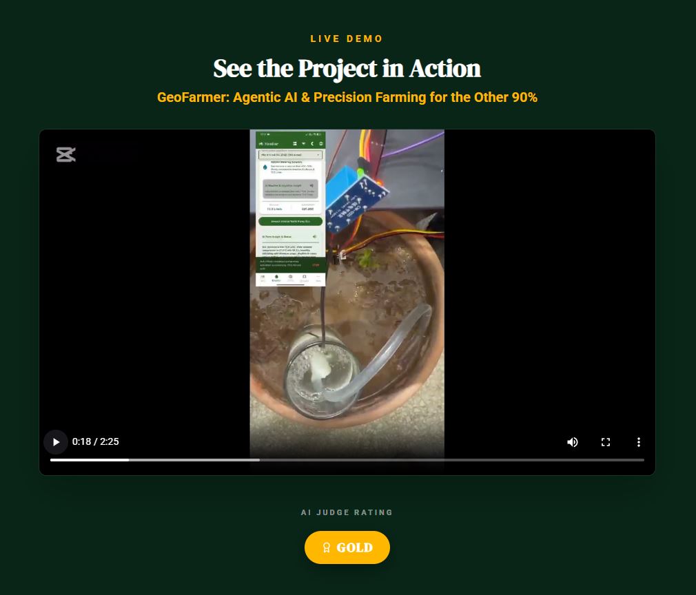
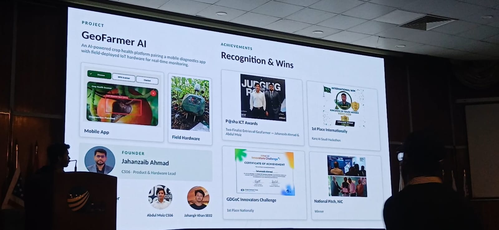
Our agentic architecture: Connecting field observations to intelligent recommendations and irrigation-control capabilities instead of creating another passive agricultural dashboard. Our offline-first approach: Building with the connectivity limitations of rural farming communities in mind. Our focus on accessibility: Prioritizing Urdu voice interaction, simple interfaces, and affordable hardware. Most importantly, we're proud that GeoFarmer addresses a real problem affecting millions of farmers rather than using AI simply for the sake of using AI. We set out to make sophisticated agricultural technology accessible on a smallholder farmer's budget, and GeoFarmer represents our progress toward that goal.
What we learned
One of our most important lessons was that accessibility must influence technical decisions from the beginning. An agricultural application is only useful if farmers can afford it, understand it, and access its essential features under real-world conditions. We also learned that AI-generated agricultural recommendations need to be grounded in reliable data and communicated with appropriate uncertainty. A photograph or satellite reading cannot always provide a definitive diagnosis. Finally, we learned how challenging—and rewarding—it is to connect hardware, machine learning, cloud infrastructure, and mobile development into a single product.
What's next for GeoFarmer
Introduce Punjabi, Sindhi, Pashto, and other regional languages. Explore on-device AI inference so more diagnostic capabilities remain available without internet connectivity. Predictive agricultural intelligence Combine historical sensor measurements, weather forecasts, satellite imagery, and crop-growth information to provide earlier warnings about potential disease outbreaks, irrigation requirements, and yield risks. Scaling beyond Pakistan Work toward partnerships with agricultural universities, farming communities, NGOs, and government agricultural-extension programs to validate the platform and make it available to more farmers. Our ultimate goal is simple: a farmer's access to agricultural intelligence should not depend on the size of their farm or the amount of money they have. GeoFarmer is our first step toward making that vision a reality.
Built With
- agenticai
- android
- arduino
- artificialintelligence
- cloudcomputing
- computervision
- embeddedsystems
- esp32
- fastapi
- generativeai
- googleearthengine
- googlevertexai
- iot
- machine-learning
- natural-language-processing
- ndvi
- onnx
- opencv
- python
- restapi
- satelliteimagery
- soilmoisturesensors
- speechrecognition
- yolov8


Log in or sign up for Devpost to join the conversation.