-
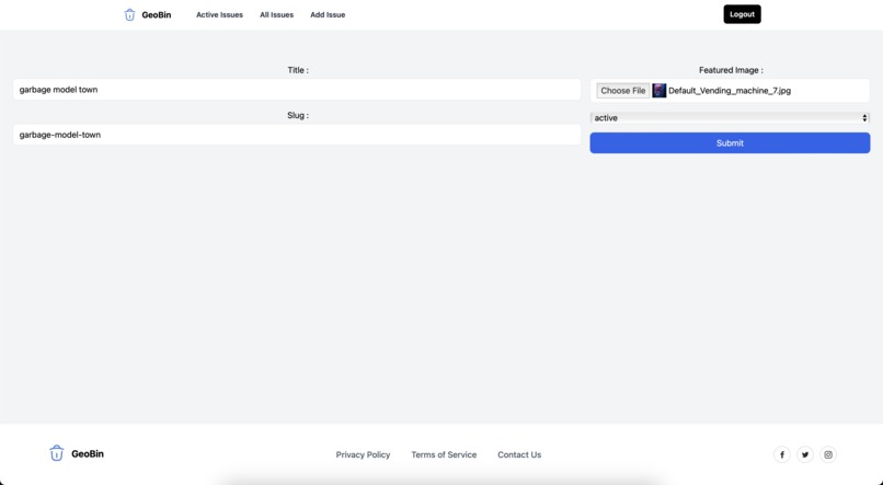
Add Issue
-
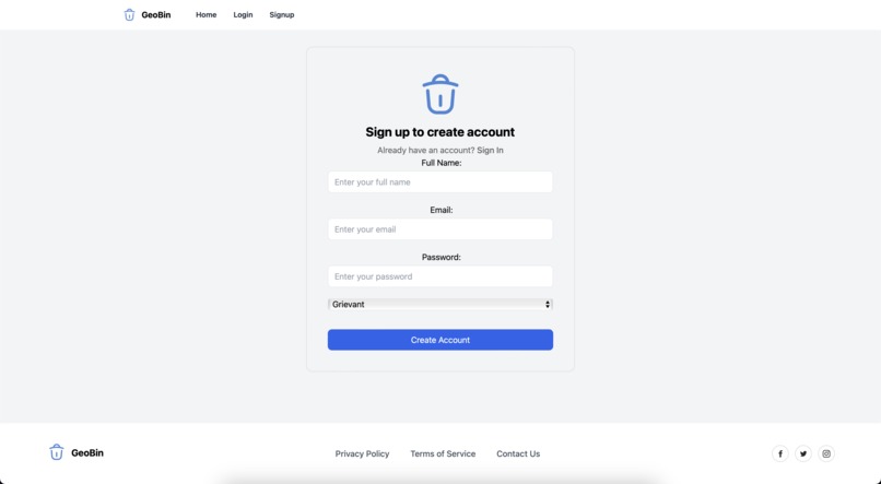
Register
-
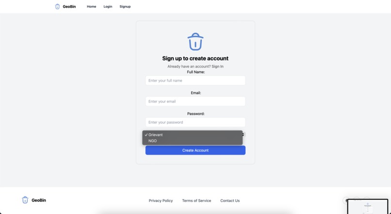
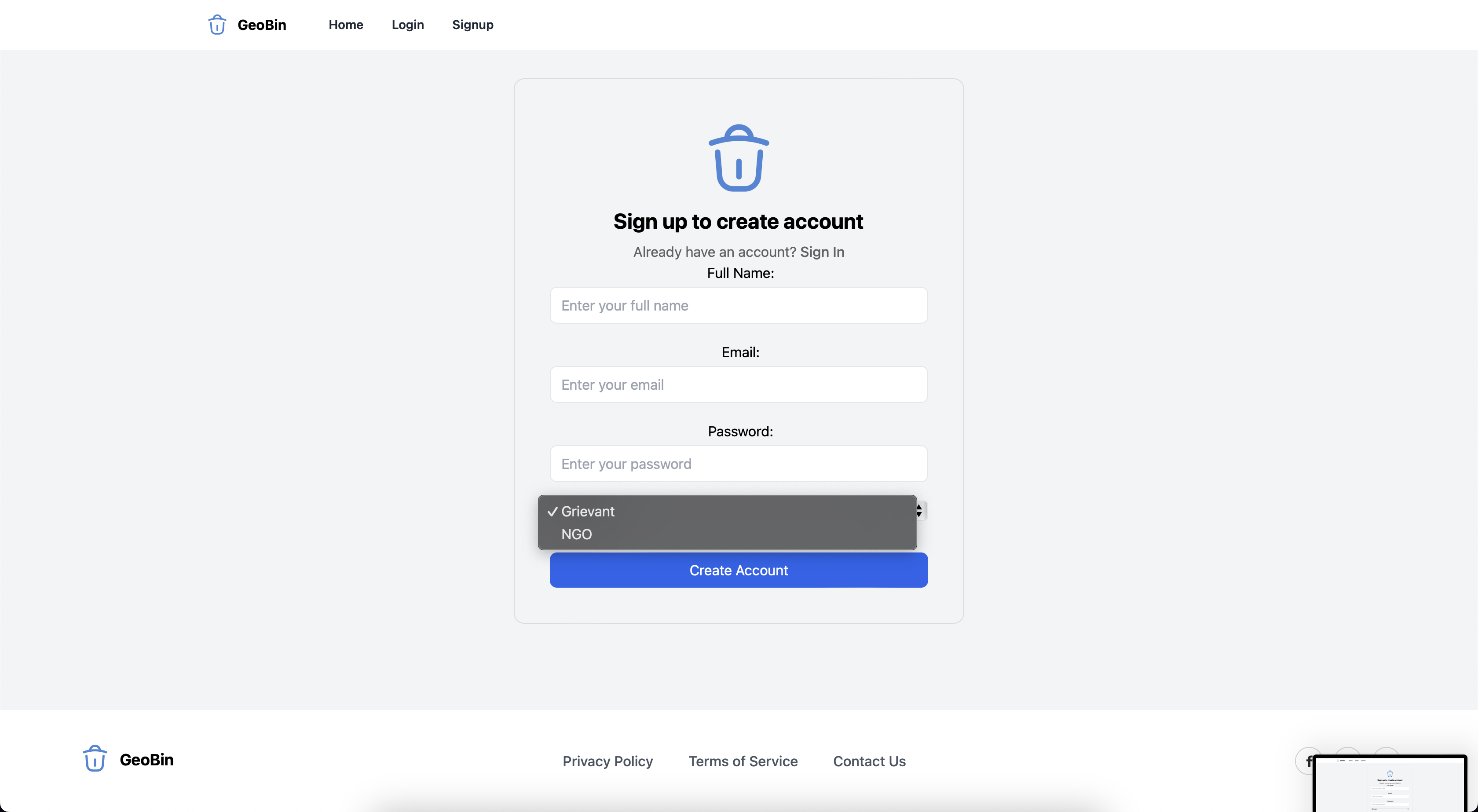
Choose type of user

Inspiration
GeoBin was inspired by the pressing global challenge of waste management and illegal dumping, which not only harms the environment but also poses health risks to communities. We noticed that many waste dumps, especially in less monitored or rural areas, are not systematically reported or cleaned up due to a lack of efficient communication between local communities and relevant authorities or organizations. By leveraging technology to connect these dots, we aim to create a more proactive and community-driven approach to tackling this issue.
What it does
GeoBin is a platform that allows users to geotag waste dumps and report them directly to non-governmental organizations (NGOs) and local authorities who are registered on the platform. This system streamlines the process of identifying, reporting, and addressing waste dumps. Users can upload photos and provide details about the waste, while NGOs can access a dashboard that displays reported dumps on a map, prioritize them, and organize clean-up operations.
How we built it
We developed GeoBin using a combination of React for the frontend and using appwrite for service as a backend to store information.
Challenges we ran into
Accomplishments that we're proud of
We are proud of creating a fully functional prototype that addresses a real-world problem effectively. The seamless integration of the geotagging system and the responsive design that works across various devices stands out as a key achievement. Moreover, we successfully engaged with local NGOs during the development process, incorporating their feedback to make GeoBin more aligned with their operational needs.
What we learned
We improved our skills in full-stack development and learned more about securing web applications. Collaborating as a team, we enhanced our project management and communication skills, learning to integrate diverse ideas and feedback into a cohesive product.
What's next for GeoBin
Moving forward, we plan to expand the functionality of GeoBin to include additional functionalities for NGOs and AI-driven image recognition for automatically categorizing the type of waste at each dump. This will help in prioritizing clean-up operations based on the hazard level. We also aim to partner with more NGOs and local governments to increase the platform’s reach and impact. Additionally, implementing a mobile app to increase accessibility and real-time reporting is on our roadmap.


Log in or sign up for Devpost to join the conversation.