
Inspiration
Climate change is increasing the frequency and intensity of floods, landslides, and extreme weather events worldwide. Unfortunately, many communities still rely on reactive emergency response instead of proactive risk prevention.
GeoAlerta AI was inspired by a simple but ambitious question:
What if artificial intelligence could identify disaster risks before they become emergencies?
Our goal was to build an intelligent platform that transforms complex geospatial and environmental data into actionable early warnings, enabling governments and emergency agencies to make faster, smarter, and more informed decisions that ultimately save lives.
What it does
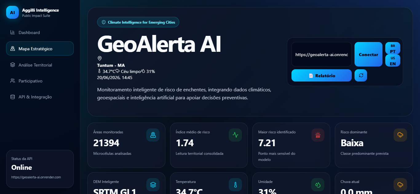
GeoAlerta AI is an AI-powered geospatial platform for disaster risk prediction and early warning.
The platform continuously analyzes multiple environmental datasets, including satellite imagery, weather forecasts, digital elevation models, terrain slope, hydrology, land characteristics, population exposure, and historical disaster records.
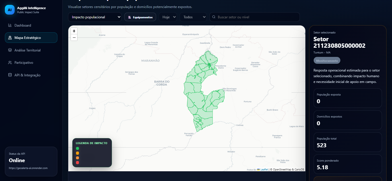
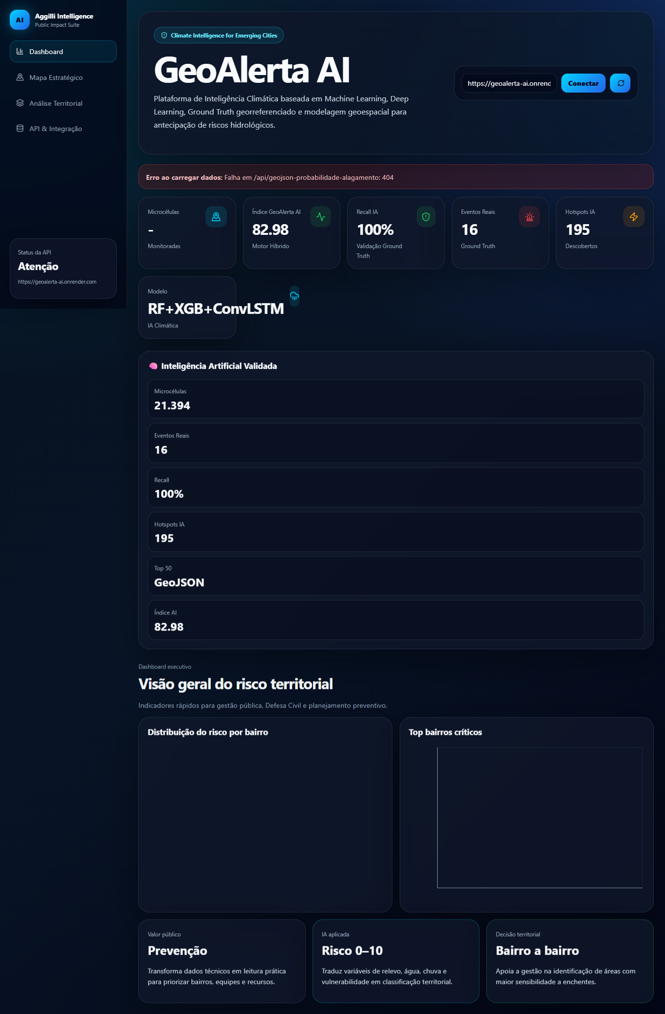
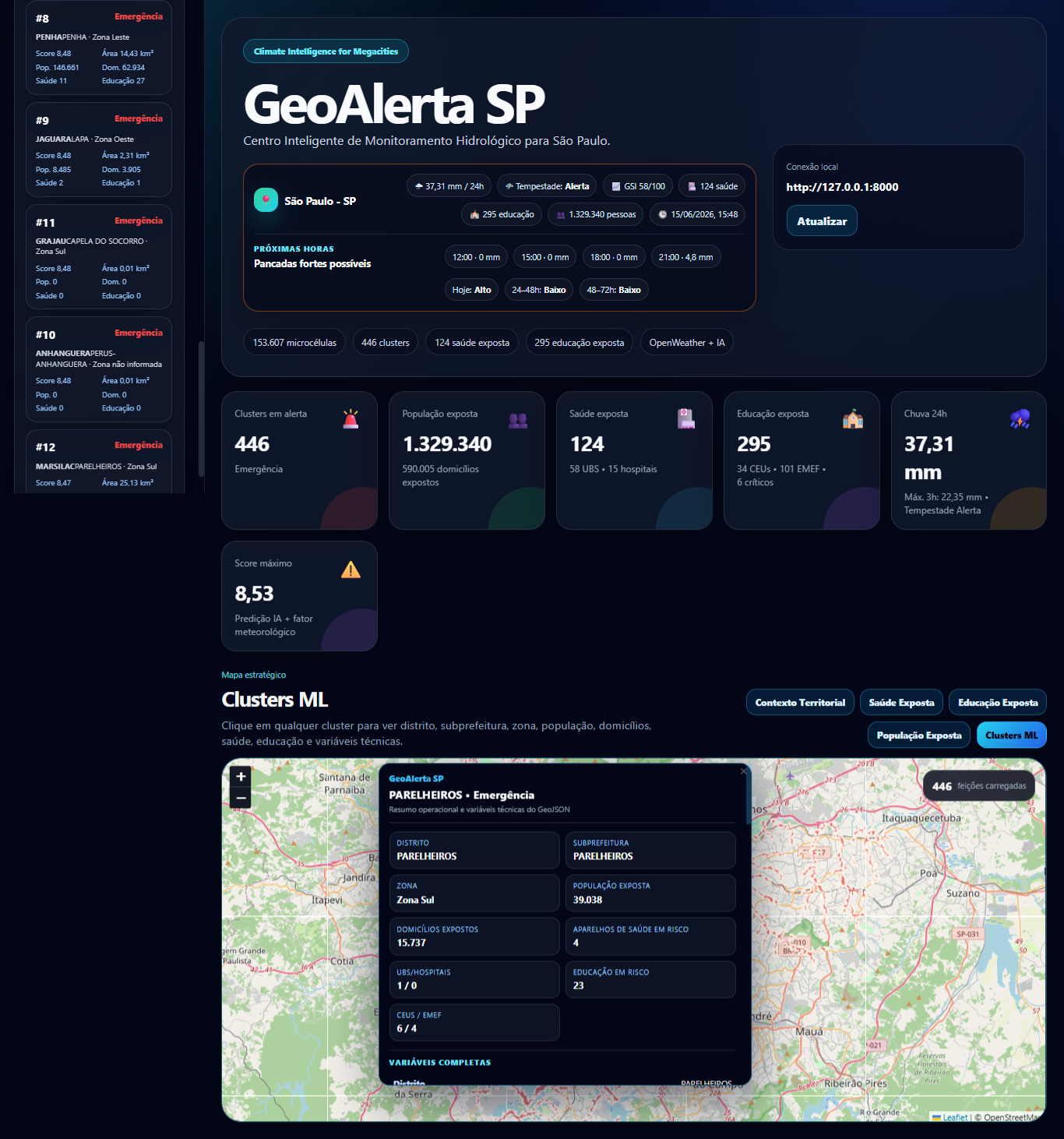
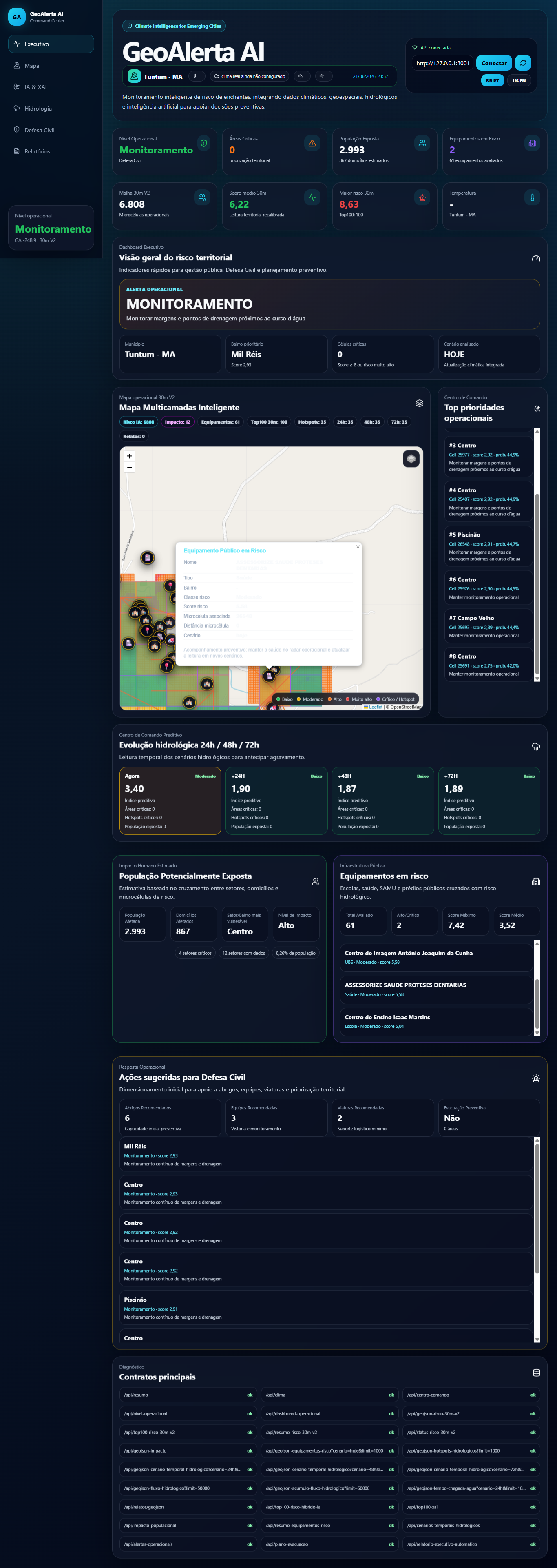
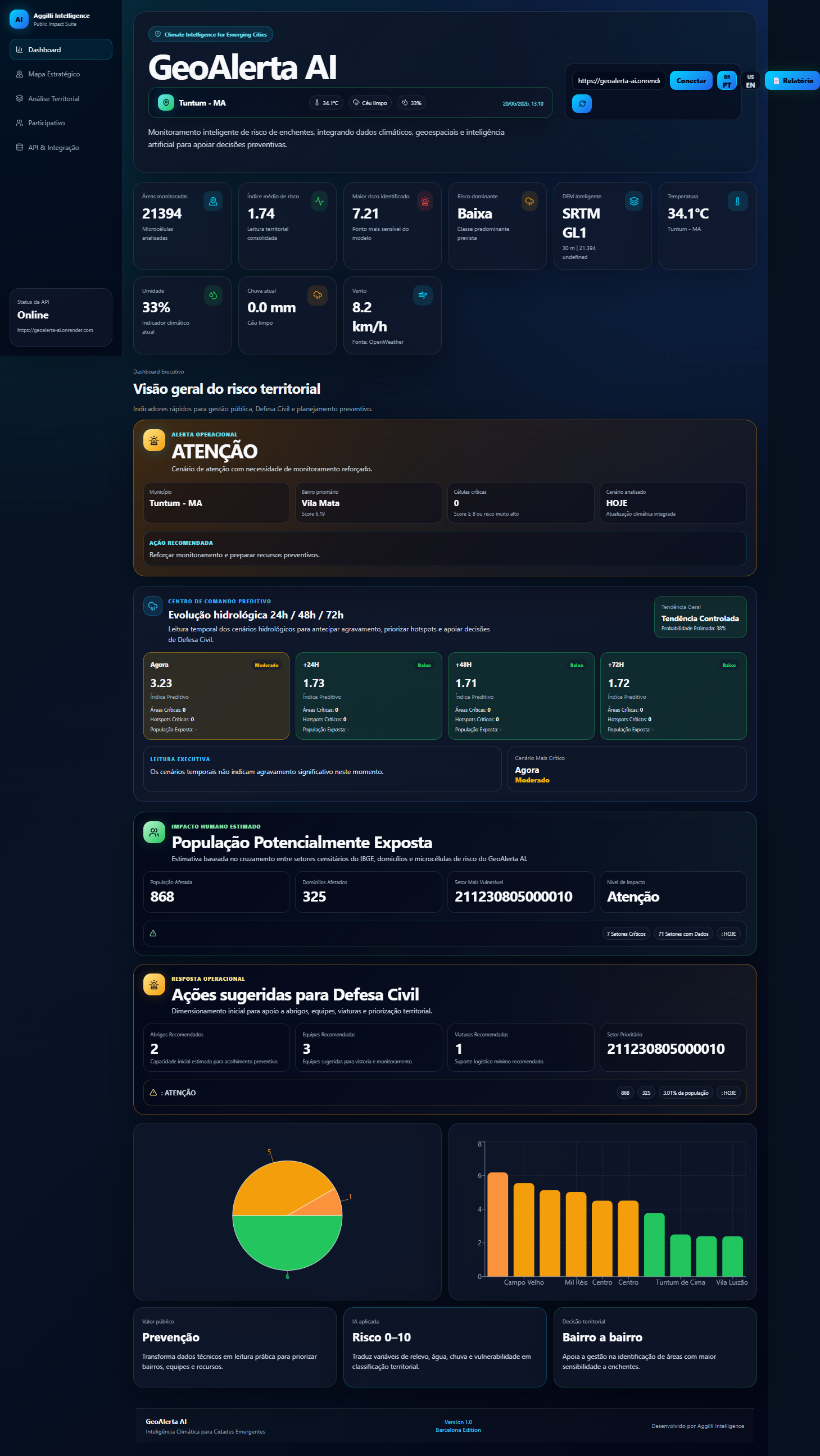
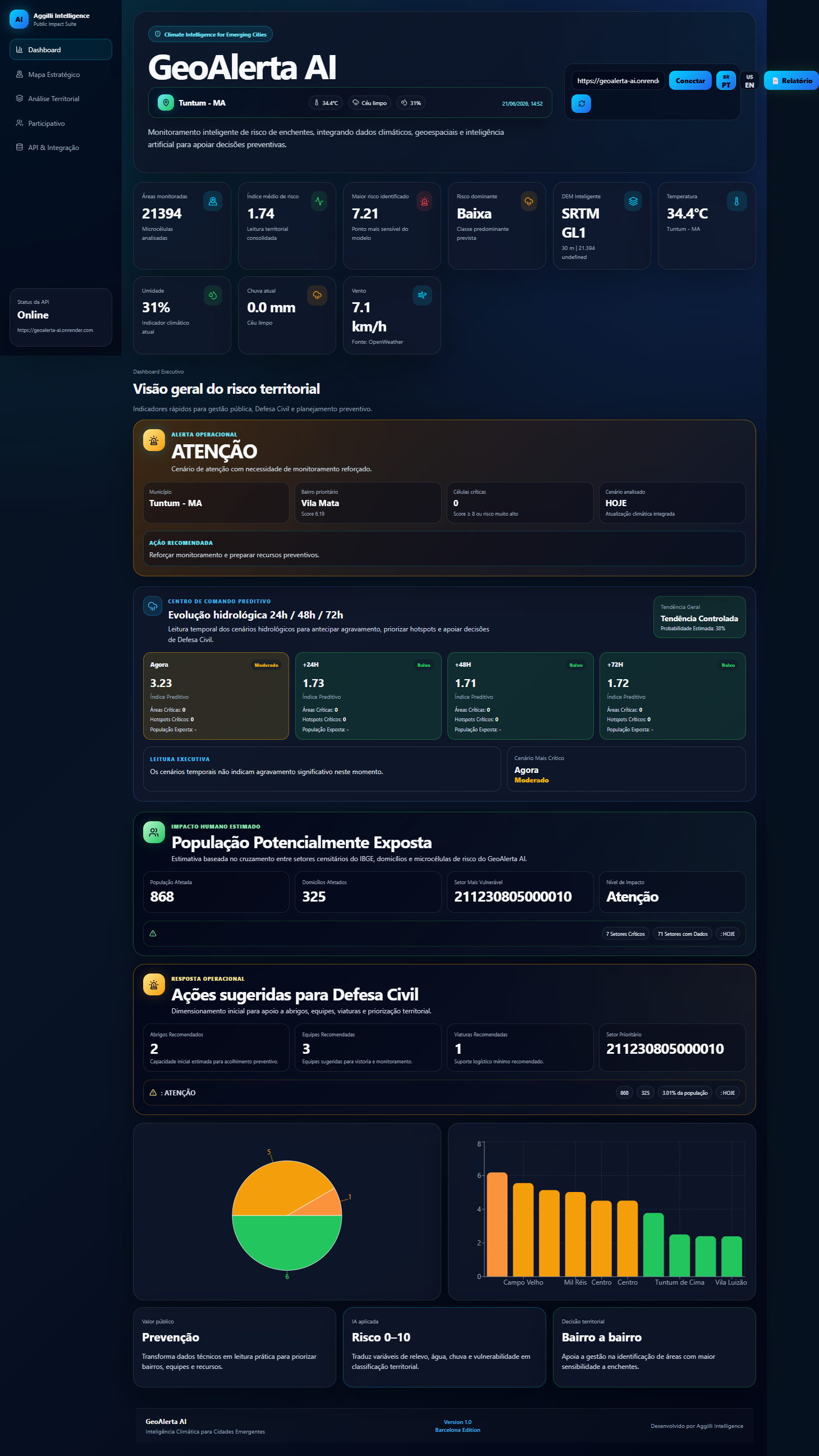
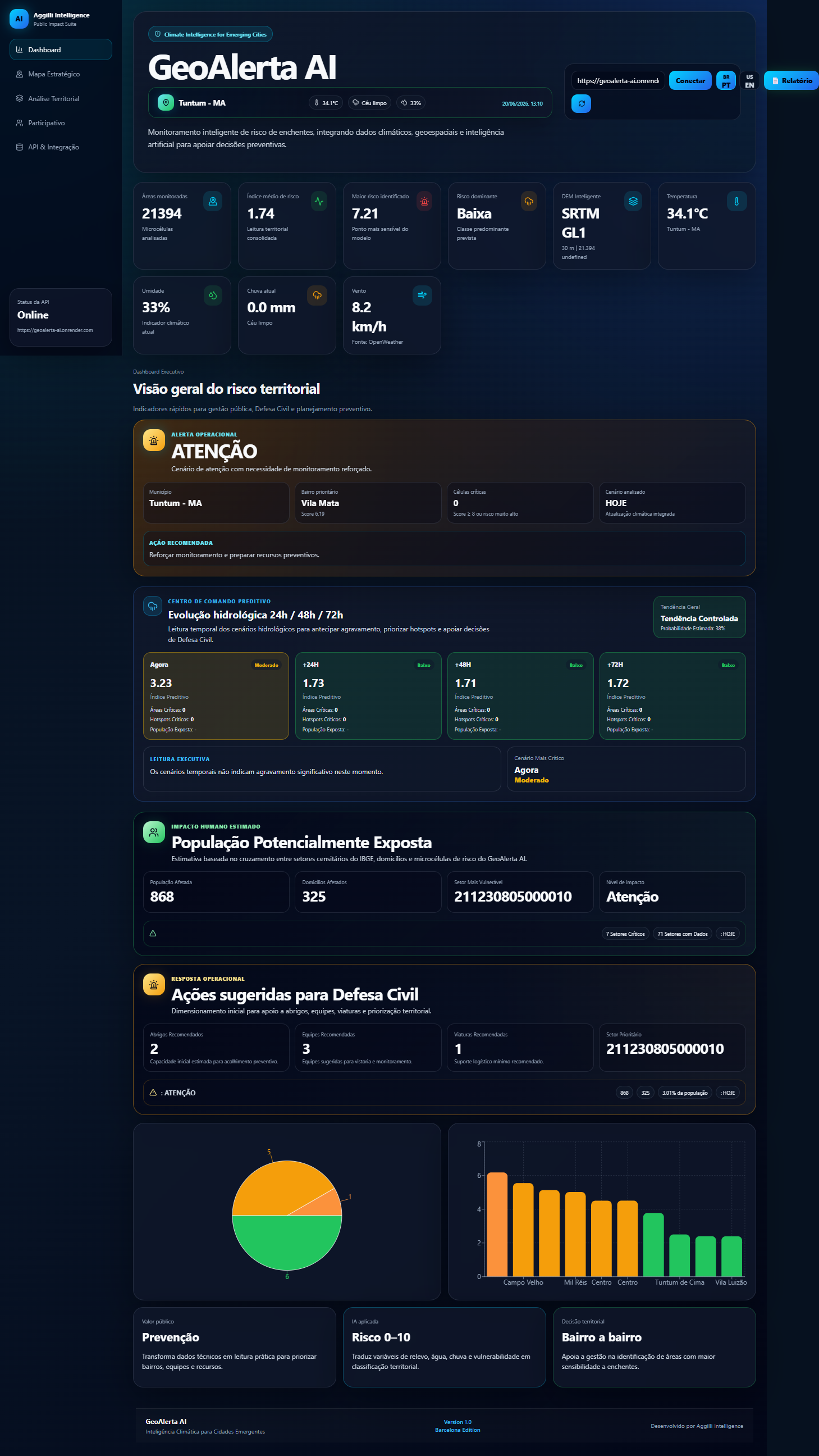
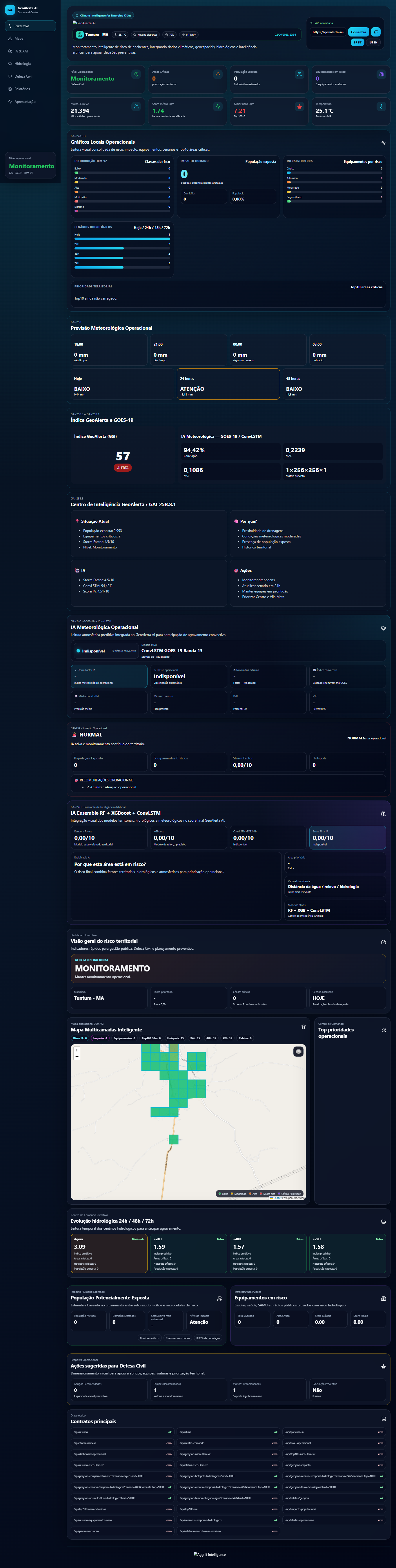
Using machine learning and geospatial intelligence, GeoAlerta AI produces interactive risk maps, AI-powered alerts, risk prioritization, and operational dashboards that help emergency managers anticipate disasters instead of simply reacting to them.
Rather than overwhelming users with raw environmental information, the platform converts millions of geospatial observations into actionable intelligence that supports faster and more effective decision-making.
How we built it
GeoAlerta AI combines Artificial Intelligence, cloud computing, and geospatial technologies into a scalable decision-support platform.
The backend was developed with Python, FastAPI, PostgreSQL/PostGIS, and REST APIs. The frontend uses React and JavaScript.
For AI, we implemented Random Forest, XGBoost, Deep Learning models, and Large Language Models (LLMs). Geospatial processing relies on GeoPandas, Digital Elevation Models (DEM), satellite imagery, and remote sensing datasets.
The entire solution is containerized with Docker and deployed on Google Cloud Run, enabling scalable geospatial processing and real-time visualization.
Challenges we ran into
One of the biggest challenges was integrating heterogeneous geospatial datasets with different spatial resolutions, update frequencies, and coordinate reference systems.
Another major challenge was designing machine learning models that not only achieved high predictive performance but also generated interpretable risk scores suitable for emergency managers.
Optimizing large geospatial queries, processing satellite imagery efficiently, and delivering near real-time visualization required extensive engineering and cloud optimization.
Accomplishments that we're proud of
We successfully developed a complete AI-powered early warning platform capable of transforming environmental and geospatial data into actionable disaster intelligence.
We are especially proud of:
Building an end-to-end geospatial AI platform. Integrating multiple environmental data sources into a unified risk assessment pipeline. Developing scalable cloud-based APIs for real-time analysis. Producing interactive risk maps and decision-support dashboards. Creating a solution with the potential to support governments and emergency agencies in protecting vulnerable communities. What we learned
Building GeoAlerta AI taught us that successful AI solutions require much more than accurate predictive models.
Real-world disaster management depends on reliable data integration, explainable AI, scalable cloud infrastructure, intuitive user experience, and close alignment with operational emergency workflows.
The project reinforced that technology creates its greatest value when it helps people make better decisions during critical situations.
What's next for GeoAlerta AI
Our roadmap includes expanding GeoAlerta AI into a comprehensive multi-hazard intelligence platform.
Future developments include:
Flood, landslide, wildfire, and drought prediction. Explainable AI (XAI) for transparent risk assessment. Autonomous AI agents to support emergency operations. Mobile applications for field responders. Multi-city and international deployment. Integration with additional satellite constellations and weather providers. Advanced climate resilience analytics for governments and humanitarian organizations.
Our long-term vision is to make GeoAlerta AI a globally accessible platform that empowers communities to anticipate disasters, strengthen resilience, and ultimately save lives.
Built With
- climate-tech
- deep-learning
- disaster-management
- docker
- fastapi
- geoai
- geopandas
- gis
- google-cloud
- javascript
- llm
- machine-learning
- postgis
- postgresql
- python
- pytorch
- react
- remote-sensing
- satellite-imagery
- scikit-learn
- smart-cities
- tensor-flow
- xgboost


Log in or sign up for Devpost to join the conversation.