-
-

Overall architecture
-
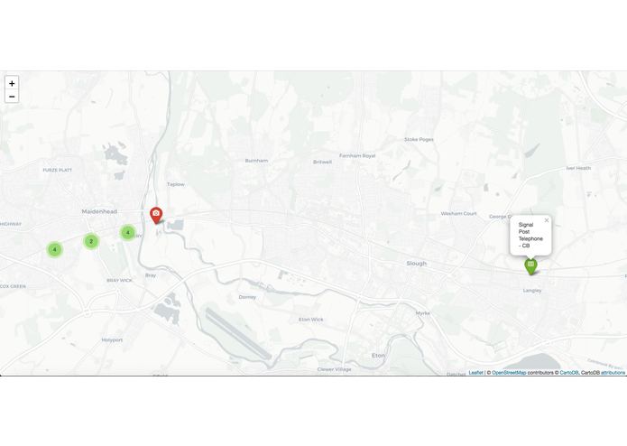
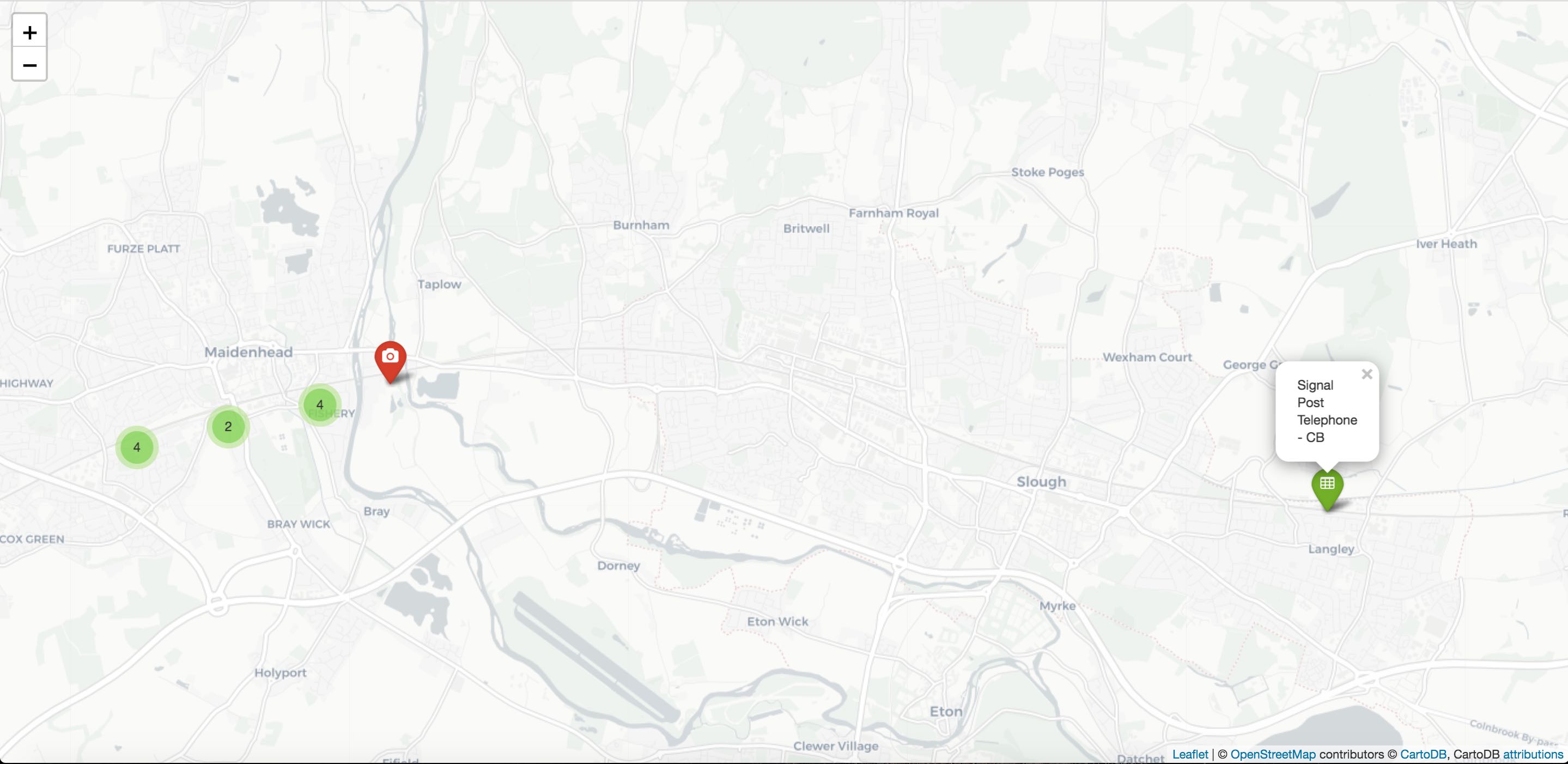
Plotting the Assets
-
This image is currently processing. Please be patient...

-
This image is currently processing. Please be patient...
Inspiration
Lidar data is bleeding edge and is a big challenge. We saw a lot of business value through leveraging it, and whilst difficult and risky, if we can pull it off it's the kind of thing we can win with.
What it does
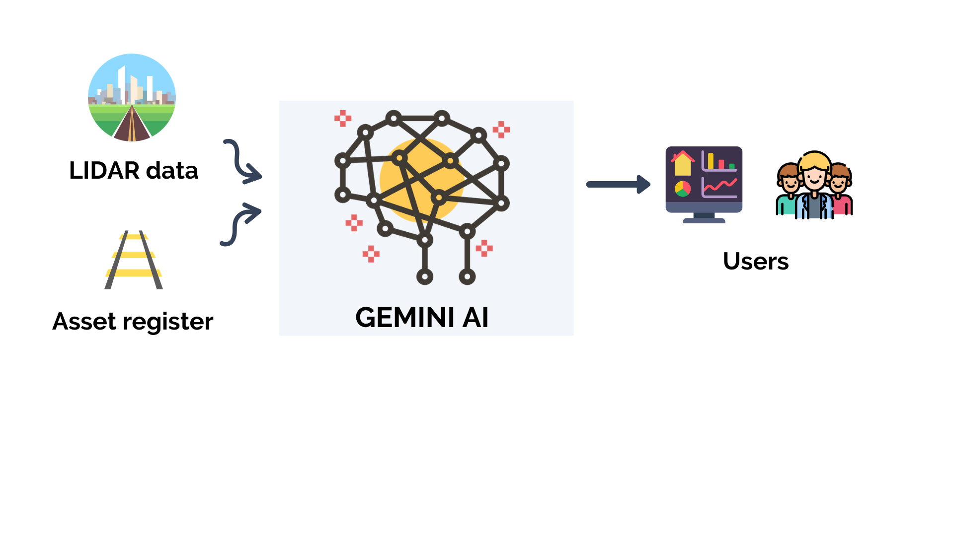
Gemini AI takes two sources of data:
- LIDAR data
- Excel Asset register.
The plan is to process the LIDAR data using a pre-trained Neural Network which is able to classify infrastructure (e.g. gantries, buildings, etc.) and 'geographically fuzzy match' this to the items in the asset register.
This is then visualised to the user in the form of a dashboard UI.
How we built it
The LIDAR and Asset Register sections are built in Python using:
- numpy / pandas
- laspy
- Pointnet++
- tensorflow
This is platformed on a mixture of GCP (data storage) and AWS EC2 (processing and modelling)
The dashboard and associated API are built in:
- Python (Flask)
- Javascript (Bootstrap / React)
Challenges we ran into
- Lidar data is very niche and the libraries themselves aren't robust so we encountered errors with the likes of laspy.
- Due to the size and complexity of the data, we had to process the LIDAR data and run our models in the cloud. This added further time & complexity.
Accomplishments that we're proud of
- Through research led to the discovery of the Pointnet++ repo
- Initial visualisation and how quickly we solved problems with the laspy library (likely Python 2/3 conflicts)
What we learned
- Platforming even pre-made models is time consuming and hard to debug
- Good ways of pragmatically matching LIDAR and geospatial data
What's next for Gemini AI
- Sleep. And then... who knows? Hopefully we can explore our idea further

Log in or sign up for Devpost to join the conversation.