Inspiration
We talked to a friend in the construction industry about the use of drones and aerial imagery. Most construction companies do not have a system to track progress in an automated fashion. We are aiming to make drone adoption and usage accessible for construction companies.
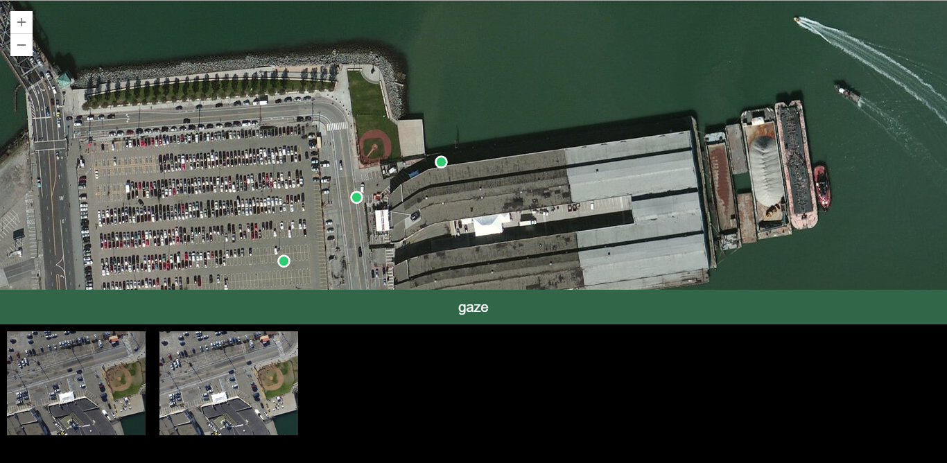
What it does
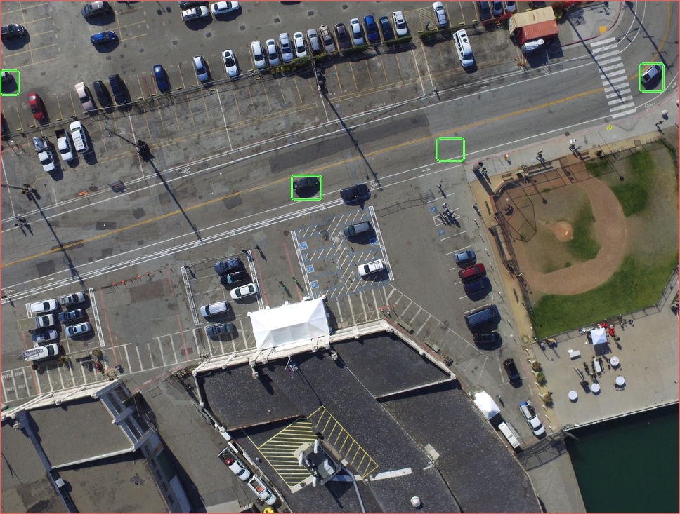
gaze allows companies to track the progress of their construction sites. it uses cutting-edge image processing techniques to empower project/site managers with data to make better decisions. It also allows customers to use the most popular customer drone (DJI) to provide progress reports rather than purchasing an expensive custom built drone.
How I built it
We used arcgis to get satellite imagery and present UI to select a location to schedule a drone photo. We automatically upload the photo from the drone, and compare it with the last image from that location. Images are stored in s3 and we use aws lambda to run our image processing algorithm.
Challenges I ran into
arcgis was not compatible with react.js, so we had to backtrack and come up with a new approach to building out web app.
Accomplishments that I'm proud of
we found a way to integrate arcgis with a javascript web app. we have developed our own image processing algorithm.
What's next for gaze
We would like to further automate this process and implement billing for drone operators.


Log in or sign up for Devpost to join the conversation.