-
-
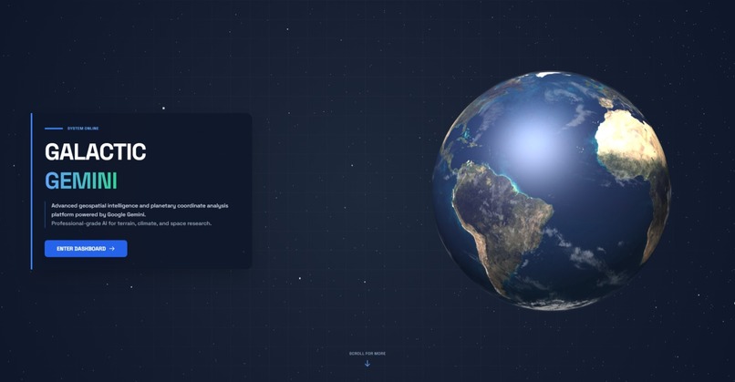
landing page
-
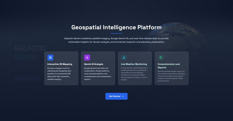
more info
-
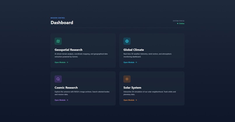
features
-
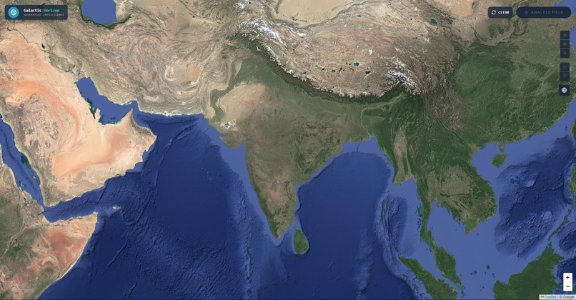
map
-
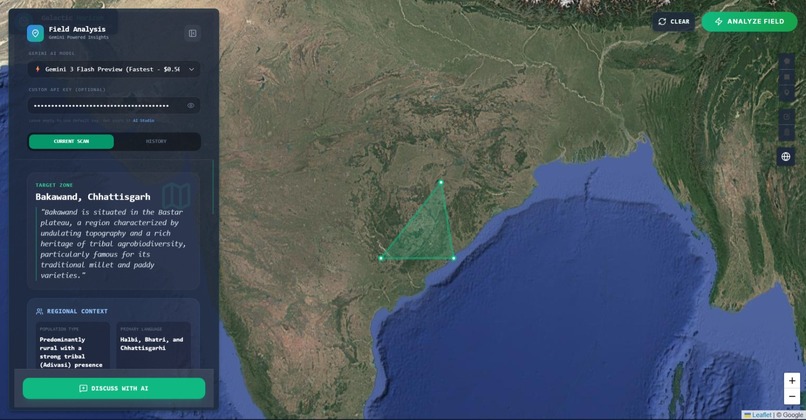
draw the area
-
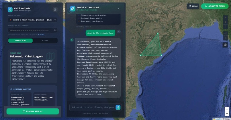
chat with that area using ai
-
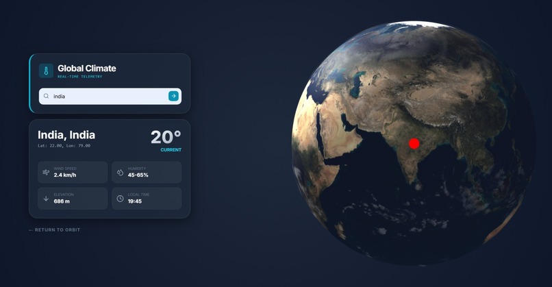
live climate with 3d globe
-
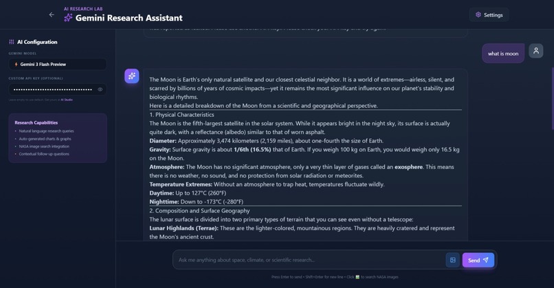
ai research
-
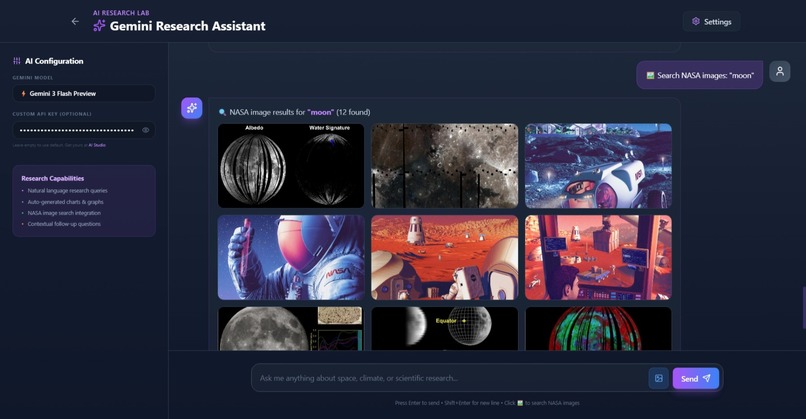
images scrap
-
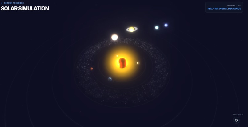
solar system
-
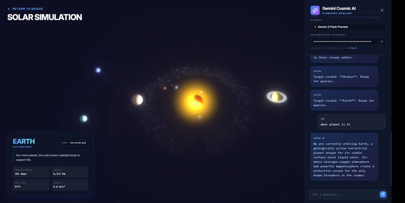
chat with soloar system by selecting a planet
-
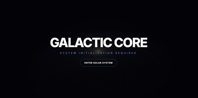
loading page
-

galaxy loading animation
-
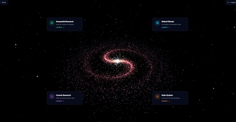
dashboard updated


Inspiration
The idea for GalacticGemini came from a simple question: What if anyone could point at any location on Earth and instantly understand its terrain, climate, and agricultural potential AND an interactive solar system with integrated ai
Traditional geospatial analysis tools are either too complex for casual users or too simplistic for professionals. When I heard about the Gemini 3 hackathon's focus on "next-generation applications" beyond chat interfaces, I knew this was the perfect opportunity to build something visual, interactive, and genuinely useful — a platform where satellite imagery meets AI reasoning.
Gemini helped to make this possible without any large data or servers but just on a simple static site
What it does
GalacticGemini is an AI-powered geospatial intelligence platform that transforms any coordinates on Earth into actionable insights:
Interactive 3D Globe: Select land parcels using polygon drawing tools on a high-resolution Earth visualization
Gemini 3 Multimodal Analysis: Send coordinates + satellite imagery to Google's latest AI for comprehensive terrain analysis
Real-Time Intelligence: Get instant reports on:
- Soil composition
- Learn about place
- Geographical research
- Climate patterns
- Agricultural recommendations
- Environmental insights
- Space research
- Solar System and planets interaction AND you can ask more questions about the specific place with integrated chat bot
How we built it
used Gemini AI models, Google maps, Antigravity IDE
Frontend:
├── Three.js (3D Earth rendering)
├── Tailwind CSS (UI styling)
└── Vanilla JavaScript (lightweight, no framework overhead)
Backend/AI:
└── Google Gemini 3 API (multimodal reasoning + vision)
Landing Page:
- Dramatic zoom animation from space (camera starts at Z=1200, lerps to Z=20)
- Fixed 3D background with scrollable content layer
- Viewport offset shifts Earth to right side on desktop
- 15,000 procedurally generated stars for immersion
Dashboard :
- Polygon selection tool for drawing land boundaries
- Coordinate extraction from selected area
- Gemini API integration for analysis
Gemini Integration Strategy:
Challenges we ran into
Camera Positioning Hell
Problem: Earth was invisible after intro animation due to viewport offset mismatch.
Solution:
- Matched start position Y-coordinate to target (both at y=0)
- Applied camera.setViewOffset() only on desktop (w > 768px)
Result: Smooth zoom directly to right-aligned Earth
Scrolling vs 3D Interaction Conflict
Problem: OrbitControls blocked page scrolling; disabling them made globe static.
Solution:
- Disabled OrbitControls entirely
- Implemented manual orbit animation after intro
- Added pointer-events: none to canvas container
Accomplishments that we're proud of
Not Another Chatbot: Uses Gemini 3's reasoning to analyze spatial data, not just text. implement all ai feature by on Gemini chat bot, implemental real time research without any large database, instead using geminal real time data by coordinates
What we learned
- Three.js Camera Math: Understanding view offsets, lerp interpolation, and orbital mechanics
- Gemini Multimodal API: How to structure requests that combine coordinates, images, and text prompts
- Performance Profiling: Balancing visual fidelity with frame rate on varied devices *Learnt using Google Anti-Gravity *Google MAPs
What's next for GalacticGemini
IMAGINE GOOGLE GEMINAI INTO SPACE AI
Historical Data Comparison
- Time-lapse satellite imagery (2000-2025)
- Track deforestation, urbanization, glacier retreat
- Gemini analyzes trends and predicts future changes
AR Mode
- Mobile AR to "place" 3D terrain models in real space
- Field researchers can visualize elevation changes on-site
Multi-User Collaboration
- Teams can share annotated maps
- Real-time updates when teammates add polygons
API Marketplace
- Let developers build plugins for mining, forestry, disaster response
- Monetize premium datasets (soil chemistry, crop yield predictions)
Offline Mode
- Cache satellite tiles locally
- Generate reports without internet (critical for remote field work)
Gemini 3 Deep Dive Features
- Crop Disease Detection: Upload field photos → AI diagnoses issues
- Water Resource Mapping: Identify underground aquifers via terrain analysis
- Disaster Prediction: Flood/wildfire risk based on historical + real-time data

Log in or sign up for Devpost to join the conversation.