GEOPAL 🌍🛰️
Inspiration 🌟
In a post-COVID world where remote work has become the norm, many volunteers and NGOs find it challenging to contribute to their causes effectively. GEOPAL aims to bridge this gap by providing reliable, satellite-based data to help organizations focus their efforts where it's most impactful. 🌐🤝
What It Does 🛠️
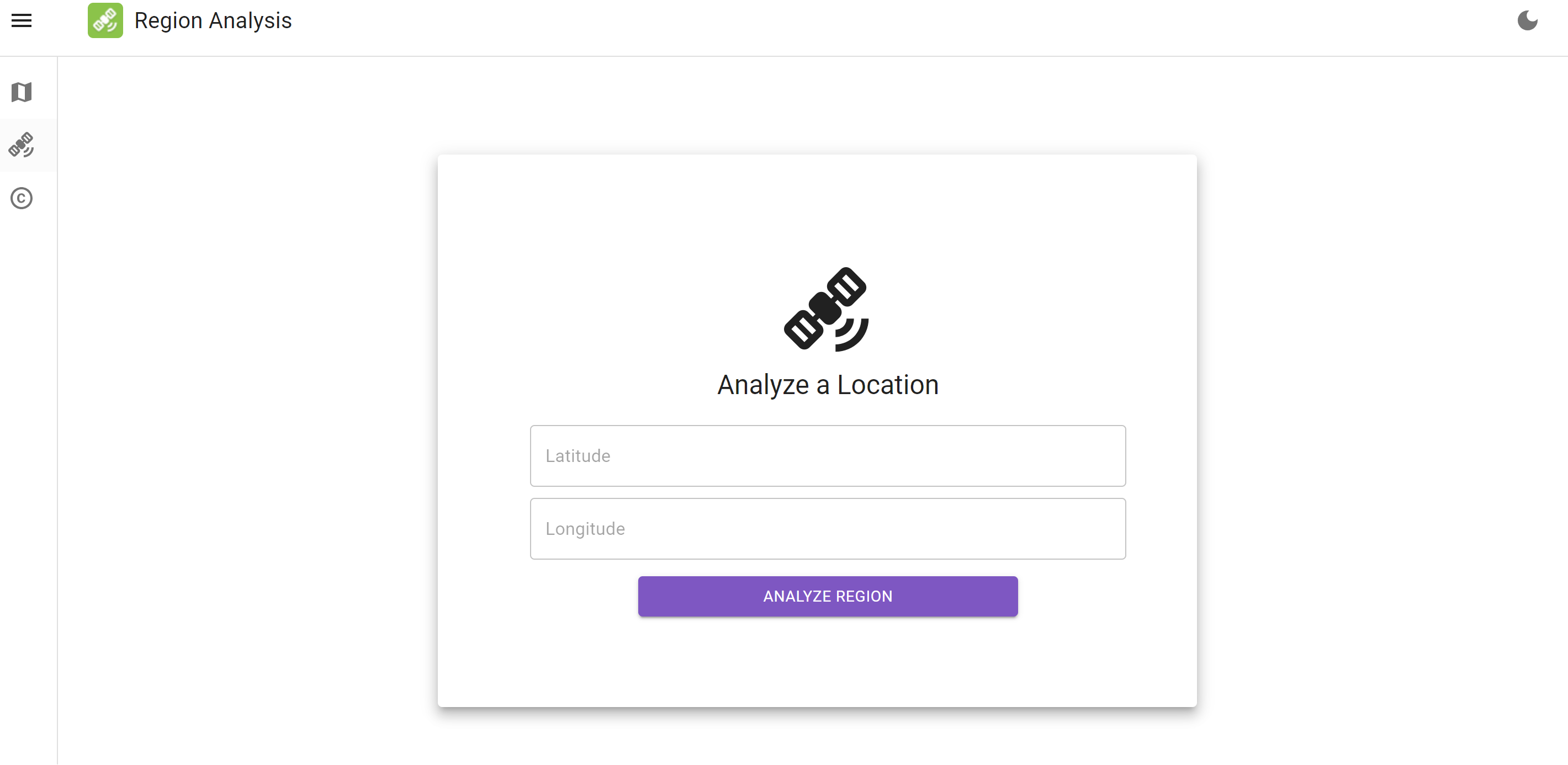
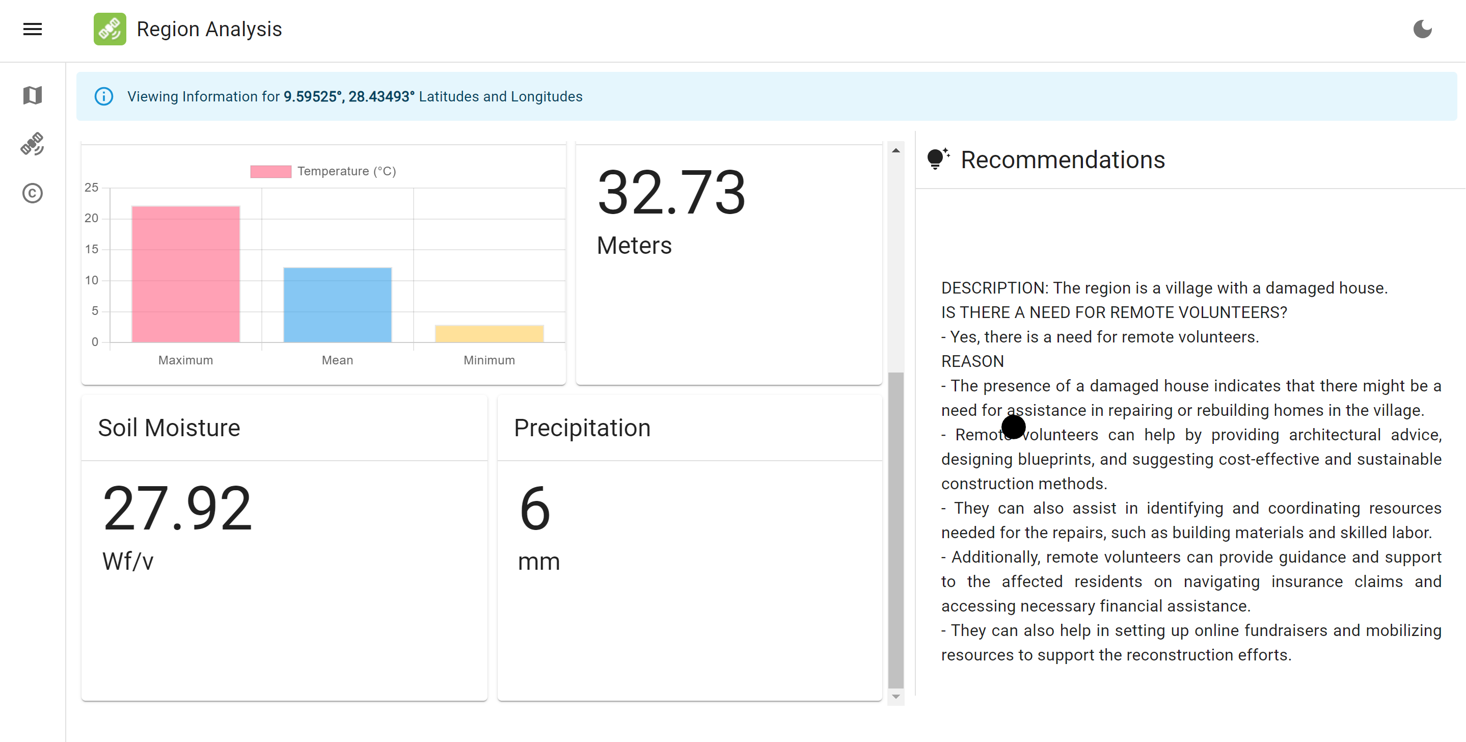
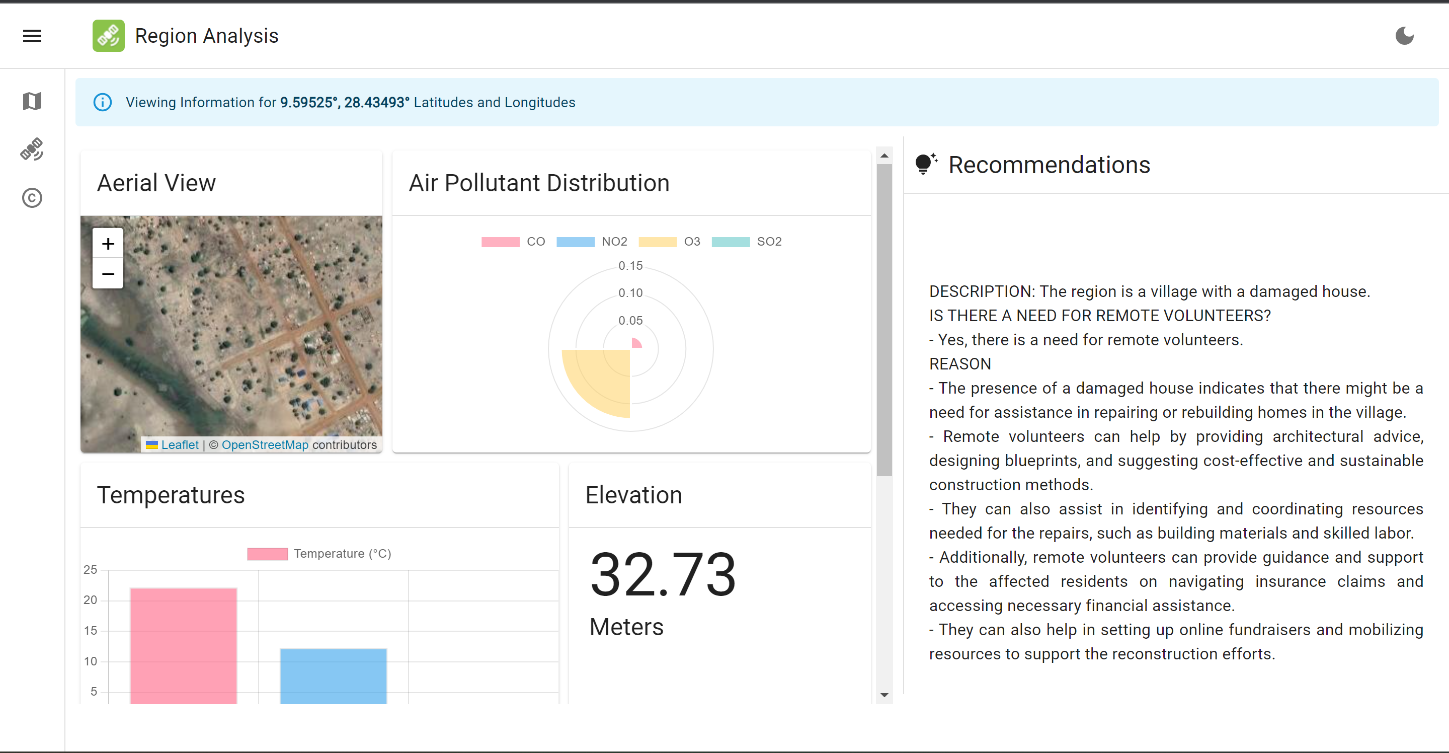
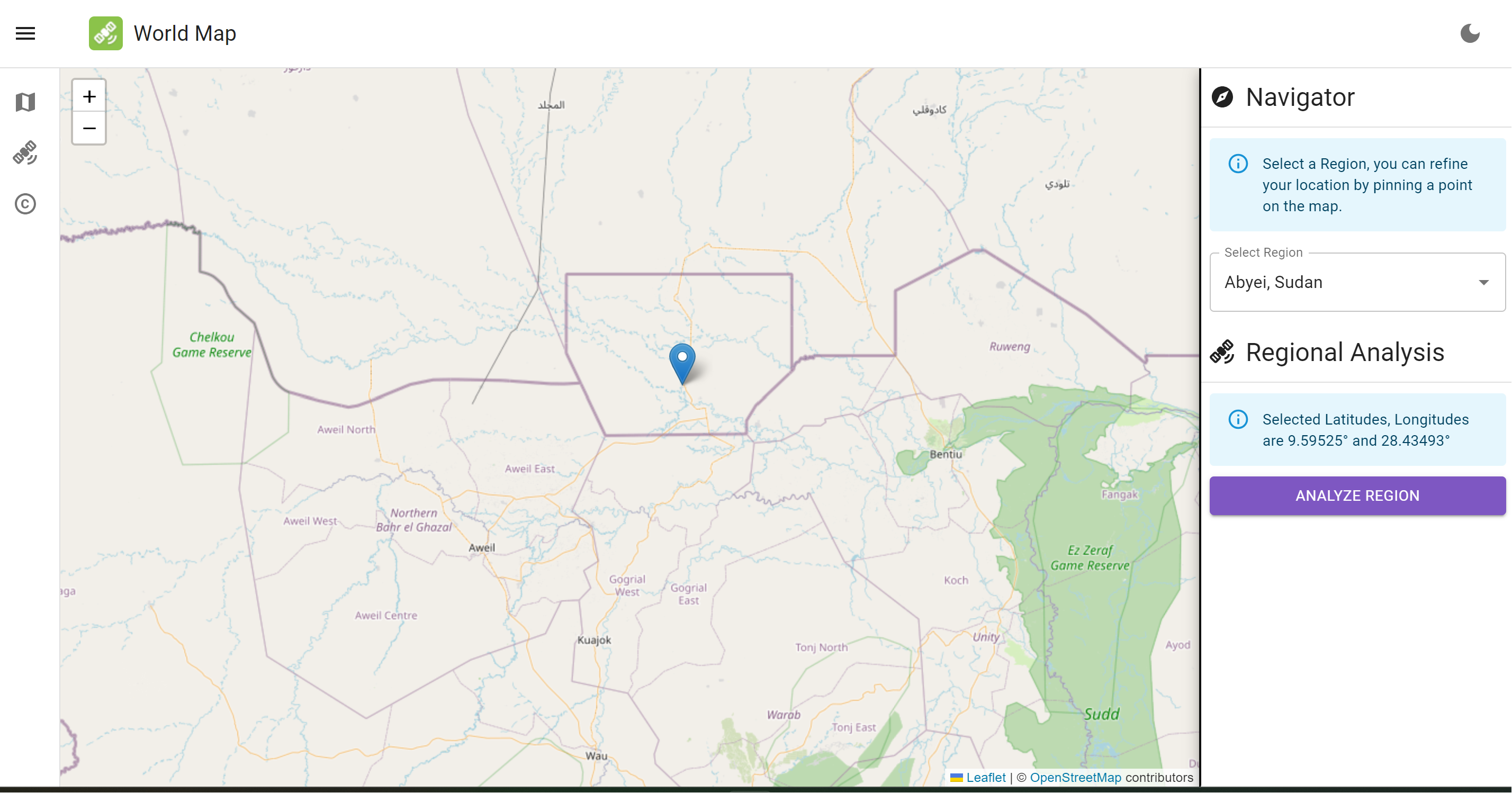
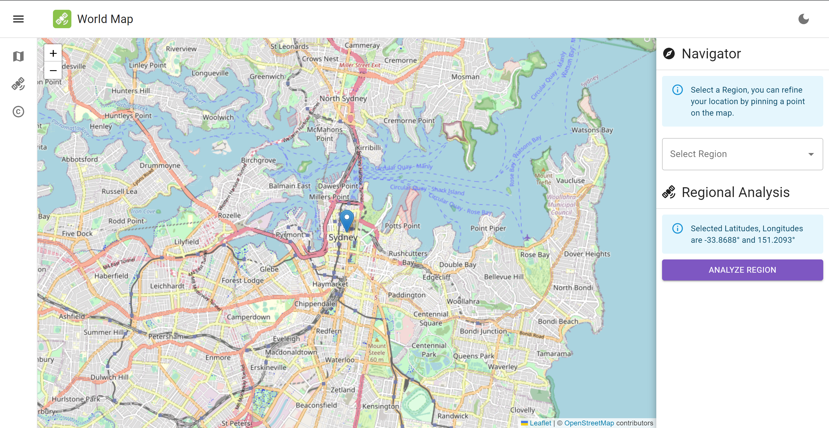
GEOPAL is a robust platform designed to guide NGOs, NPOs, and governmental organizations in making data-driven decisions. By offering a range of metrics—such as altitude, precipitation levels, and air quality—the app enables these organizations to identify areas most in need of intervention. 🌱🏡
Security and Authentication 🔒
We take data security seriously. That's why we've implemented a facial recognition algorithm that mints an NFT of your face data using the Verbwire API. This NFT is securely stored in your wallet, ensuring that your data remains private and secure. 🤳💼
How We Built It 🏗️
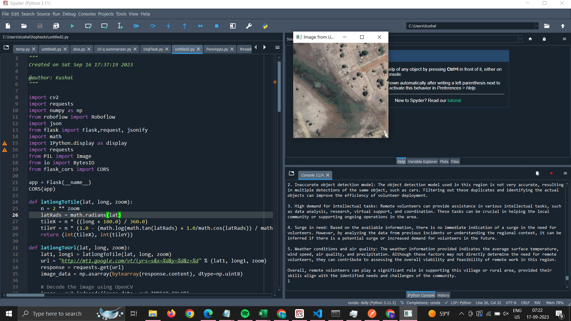
Our tech stack includes Google Earth Engine for satellite data, OpenCV and facial recognition for user authentication, and Verbwire for secure data storage. These technologies not only accelerated our development process but also provided us with high-quality data and images essential for our analytics. 🛰️🌍
Challenges We Ran Into 🚧
- Issues with Google Earth Engine's functionality 🌍
- Difficulties in image analysis 🛰️🖼️
- Various coding errors, including the classic "forgotten colon" 😅
Accomplishments That We're Proud Of 🏆
- Mastering Google Earth Engine and harnessing its capabilities 🌍
- Implementing a secure and innovative facial recognition system 🤳
- Creating a platform that can genuinely make a difference in targeted philanthropy 🌟🛠️
What We Learned 📚
- The intricacies of working with satellite data 🛰️
- Working with the Google Cloud CLI and Cloud Products ☁️
- Implementing secure authentication methods 🤳🔒
- The power of teamwork and collaborative problem-solving 🤝💪
What's next for G.E.O.P.A.L
We are constantly evolving and expanding our capabilities. In the future, we aim to incorporate snow analysis to identify regions that require volunteer assistance, especially in preparing for challenging winters and other weather-related challenges. ❄️🏔️
GEOPAL is your partner in making the world a better place through data-driven insights and actions. Join us in our mission to improve the quality of life for people everywhere. 🤝🌟
Built With
- google-cloud
- google-earth-engine
- google-maps
- javascript
- python
- react


Log in or sign up for Devpost to join the conversation.