-
-
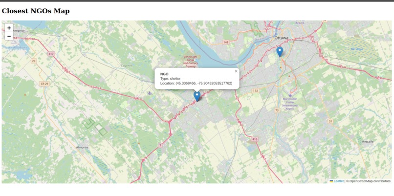
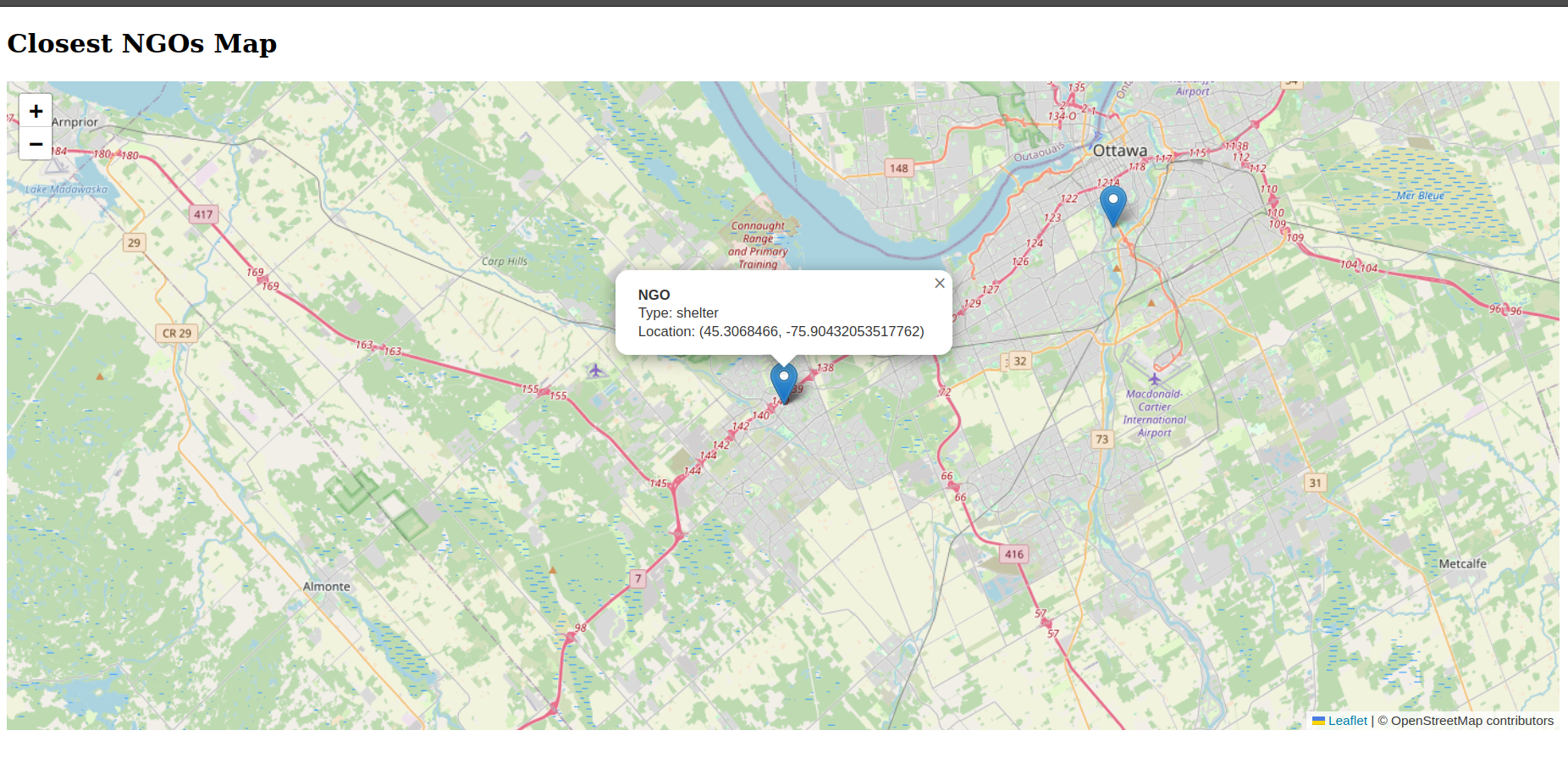
Our leaflet map working
-
-
-
-
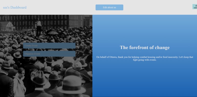


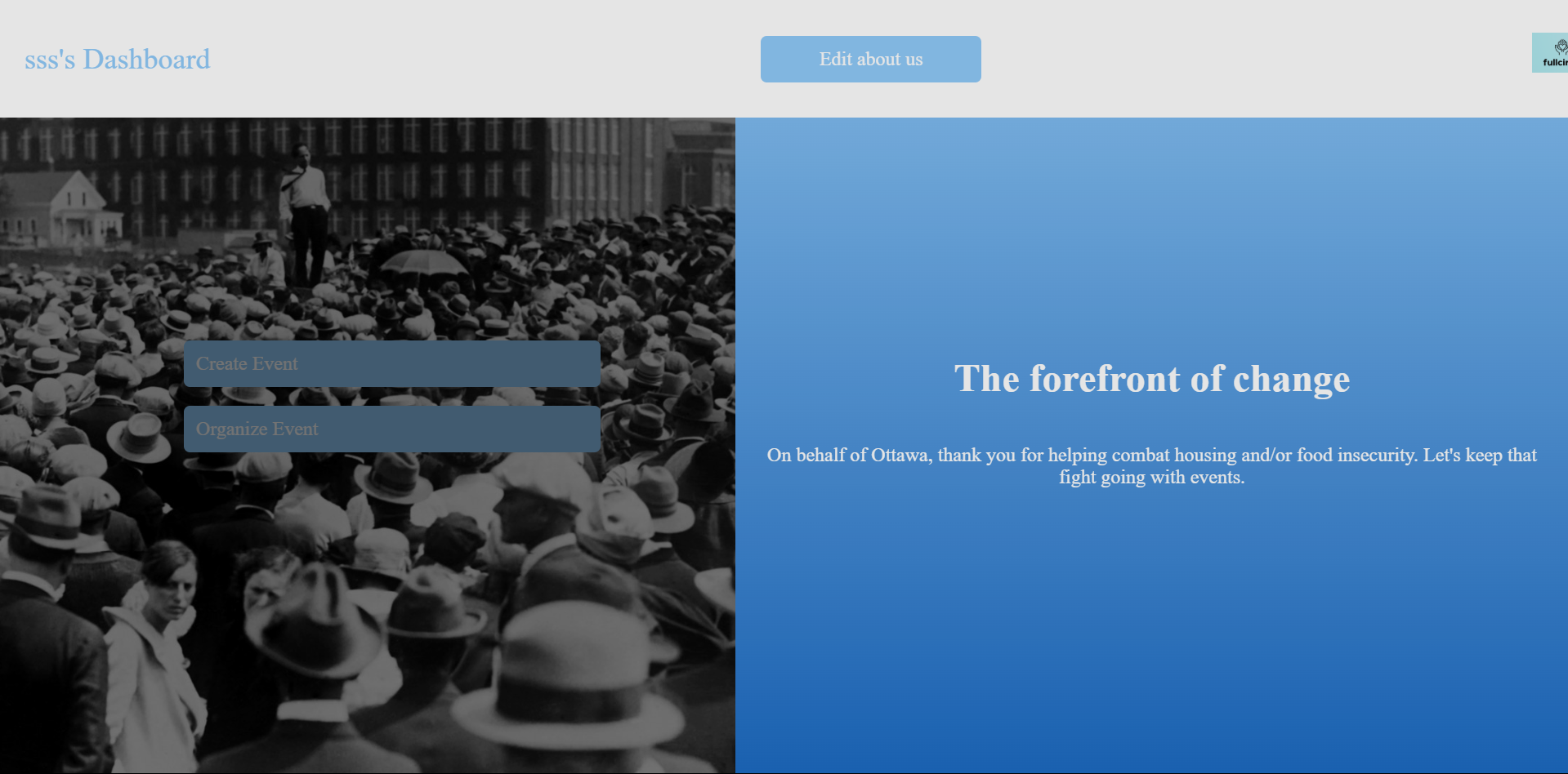
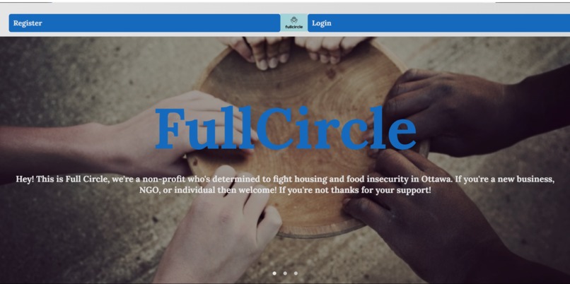
Project Story: Food & Shelter Finder
About the Project
Businesses have a strategy called "Vertical integration", where businesses will apply every part of the experience of some product. For instance, Tesla sources most of the materials in a Tesla themselves, they make the cars in house, and they own the charging ports of the teslas. This project started with a variety of ideas: A Food and shelter finder where you input your location and find the nearest shelter/foodbank. A advocacy platform where policies are refined through public discourse, and are pushed through organized events, and an app where stores and restaurants can sell unwanted or nearly expired food at a far lower price.
However, by adding all these apps together results in the best results for everyone. Advocates can have access to the experiences of lower-income individuals that have experiences with housing and food insecurity, while low-income individuals can have advocates directly supporting them while getting far cheaper groceries and vital information about charities. Even retailers make an extra buck ethically.
This project was inspired by the increasing need for accessible resources to fight food and shelter insecurity. In communities around the world, many people lack awareness of nearby resources, and essential services like food banks and shelters aren't always easy to find. I wanted to create a platform that makes locating these resources simple and fast—empowering people to access help when they need it most.
Why?
When I was 4 years old, me and my mom moved to Canada with the clothes on our back, a large suitcase, and a few hundred dollars. My mother is immensely talented–both financially and academically–so after our first couple of months we were on far more stable ground, but it won’t be easy to forget the stress of those first few months, where we lived on less than a shoe-string budget. A tool like FullCircle would’ve been completely invaluable at the time.
What I Learned
Building this project allowed me to learn about geolocation APIs (like Leaflet) and how to integrate them into a web app. I gained experience with Flask, SQLAlchemy, and real-time data handling. I also learned the importance of building a user-friendly interface while working with location-based services and databases.
How I Built It
I used Flask as the backend framework, with SQLAlchemy for database management. The frontend leverages Leaflet for dynamic mapping, allowing users to see nearby food banks and shelters in real-time. Data on organizations is stored in a SQLite database, and geolocation is handled via the Geopy API to convert addresses into coordinates. The app is designed to be simple, intuitive, and fast, offering users a seamless way to find help.
Challenges Faced
One of the biggest challenges was geolocation accuracy. Converting addresses into latitude and longitude required careful handling to ensure that the locations were precise. I also encountered some difficulties in integrating real-time data updates, especially when displaying dynamic markers on the map. However, overcoming these obstacles improved my skills in debugging and API integration, and I learned valuable lessons about managing data flow between the backend and frontend.


Log in or sign up for Devpost to join the conversation.